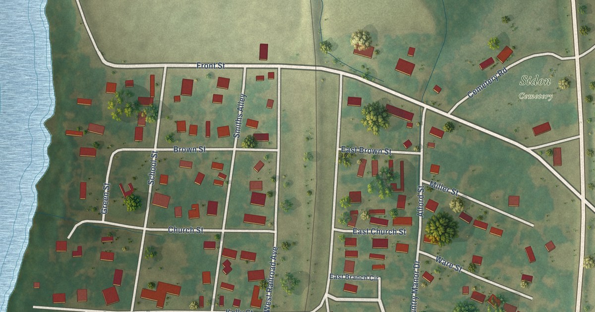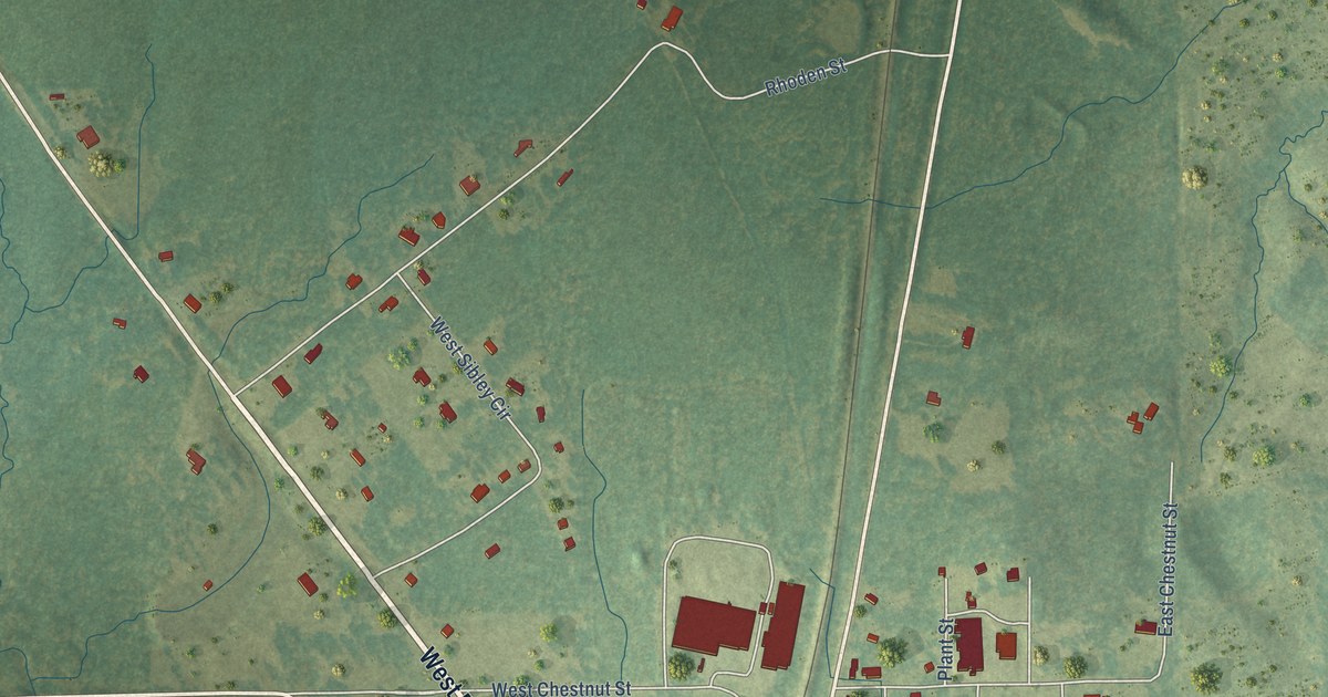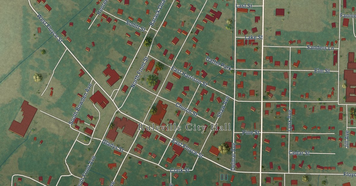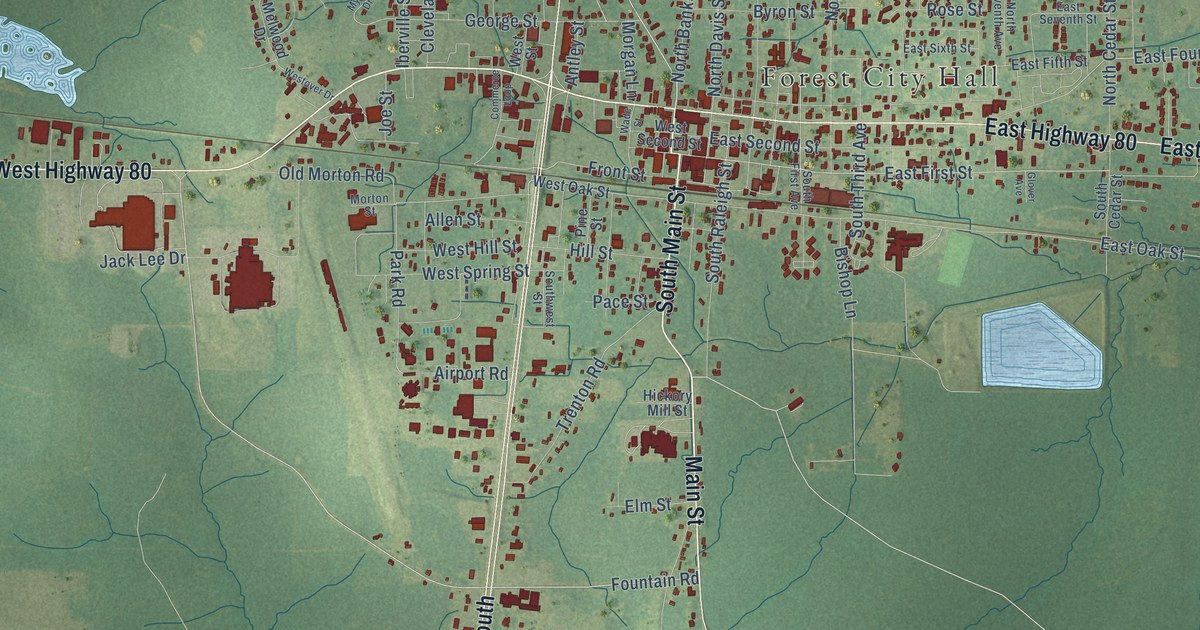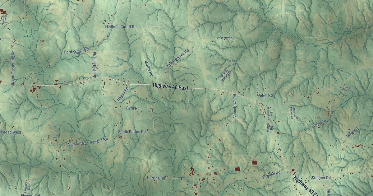
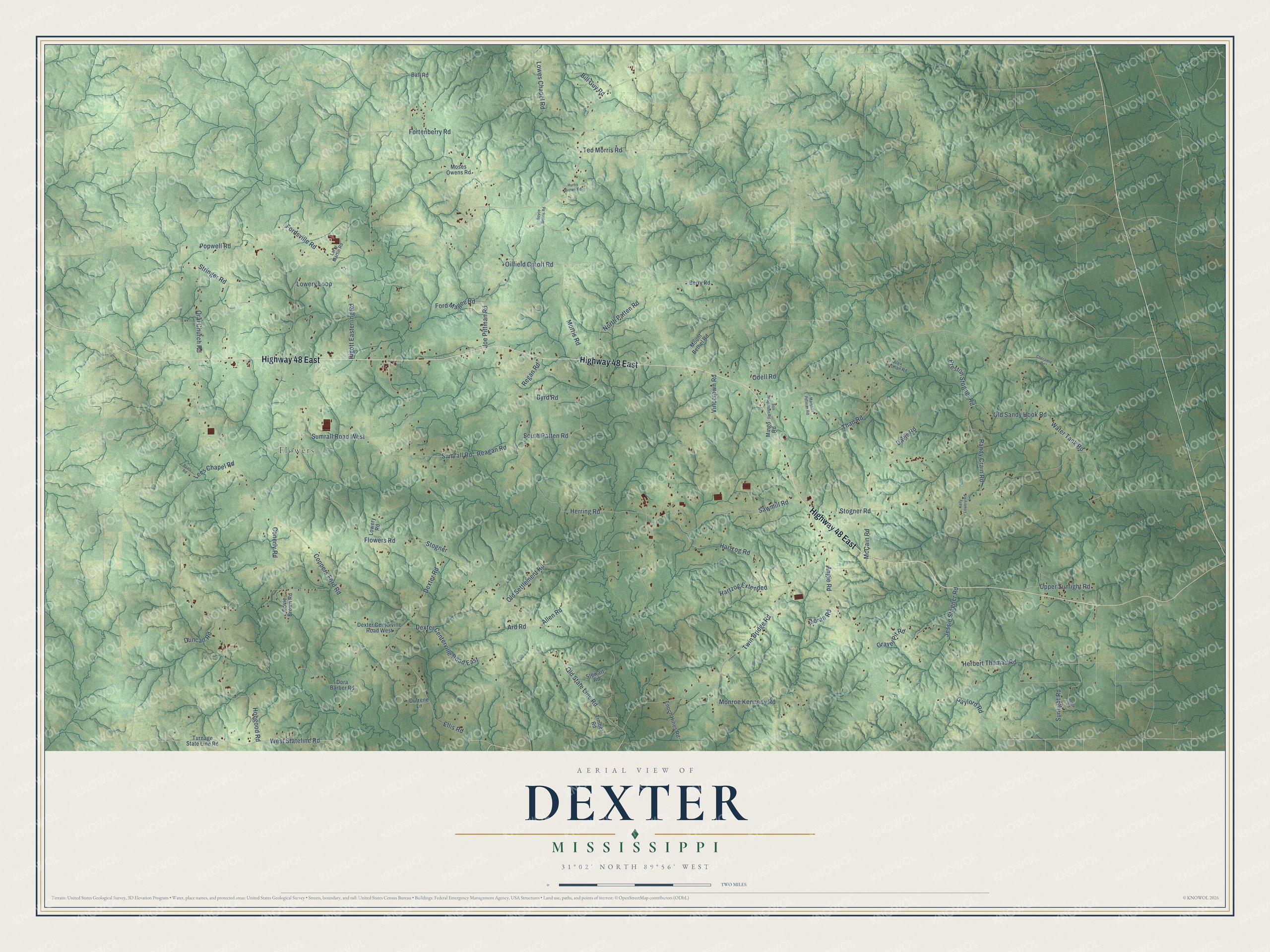
This beautifully detailed map of Dexter, Mississippi was created in 2026 using aerial imagery combined with modern topographical, census, street and landmark data. It’s a one-of-a-kind view of Dexter that combines accurate data with a vintage aesthetic. The map shows every building in its true location, many of the roads carry their names, and the shaded topographic relief shows the shape of the land.
Explore an aerial view of Dexter, Mississippi
On the map you’ll find Flowers, along with Highway 48 East, South Patten Road, North Patten Road, Reagan Road, Sumrall Road, West Stateline Road, Gaylord Road, Sunlight Road, Ted Morris Road, Coppers Ford Road, Water Tank Road, and more. If you look closely you can even find your house accurately drawn in its correct location. Zoom in on the preview to look for yours.
Did You Know?
From Internet Archive: "The cession acquired by the treaty of Mount Dexter was thrown open to settlement and from 1809 to 1811 erected into the counties of Wayne, Greene and Marion."
Dexter is a community in Walthall County.
Take a closer look at the Dexter map
Names on this map
These names are printed on this map.
Places: Flowers.
Streets and roads: Highway 48 East, South Patten Road, North Patten Road, Reagan Road, Sumrall Road, West Stateline Road, Gaylord Road, Sunlight Road, Ted Morris Road, Coppers Ford Road, Water Tank Road, Joe Pittman Road.
More street names, A to Z
Alex Pittman Road, Allen Road, Angie Road, Ard Road, Ball Road, Berry Road, Bill Guy Road, Boyce Morris Road, Byrd Road, Cheramie Road, Conerly Road, Davis Road, Dexter Centerville Road East, Dexter Centerville Road West, Dexter Road, Dora Barber Road, Dovie Brown Road, Dufrene Lane, Duncan Road, Ellis Road, Enoch Hines Road, Flowers Road, Ford Magee Road, Fordsville Road, Fortenberry Road, Gravel Pit Road, Hartzog Extended, Hartzog Road, Henry Road, Herbert Thomas Road, Herring Road, Hobgood Road, Hurtis Brown Road, Jessie Stogner Road, Kelly Lowery Road, Larry Martin Road, Lees Chapel Road, Lowery Loop, Lowery Road, Lowes Chapel Road, Marshall Pittman Road, McCain Road, Mingo Road, Monroe Kennedy Road, Moran Road, Morris Road, Moses Owens Road, Mount Bethel Road, Odell Road, Oilfield Cutoff Road, Old Sandy Hook Road, Old Settlement Road, Old State Line Road, Oral Church Road, Pigott Easterling Road, Popwell Road, Preston Stogner Road, Randy Crain Road, Regan Road, Ryals Road, Sawmill Road, Son Thompson Road, Stewart Road, Stogner, Stogner Road, Stringer Road, Sumrall Road West, Thad Road, Timber Road, Turnage State Line Road, Twin Bridge Road, Upper Sunlight Road, Vincetown Road.
See it on a wall
The Dexter map as a framed print. Swipe for more.


This beautifully detailed map of Dexter makes an attractive addition to your office, library, or den, and it can even be used to teach children the geography and history of the area. It also makes a great gift for someone who left Dexter and still calls it home. When you’re done exploring, click here to get your copy of the Dexter map.