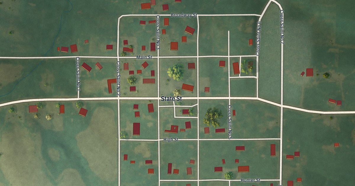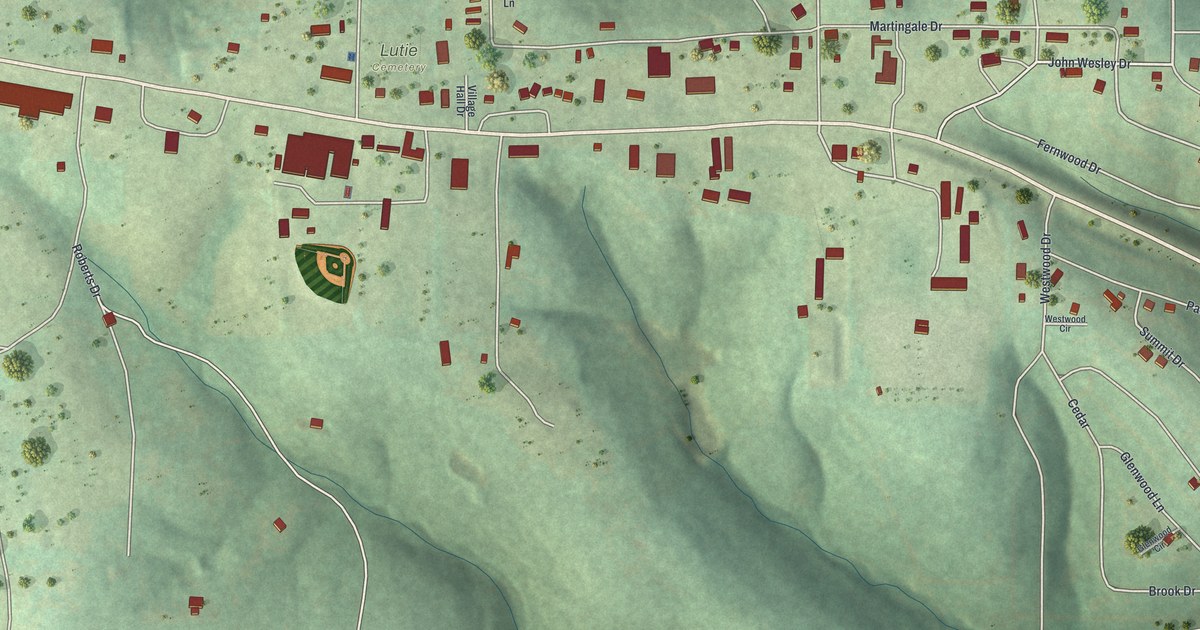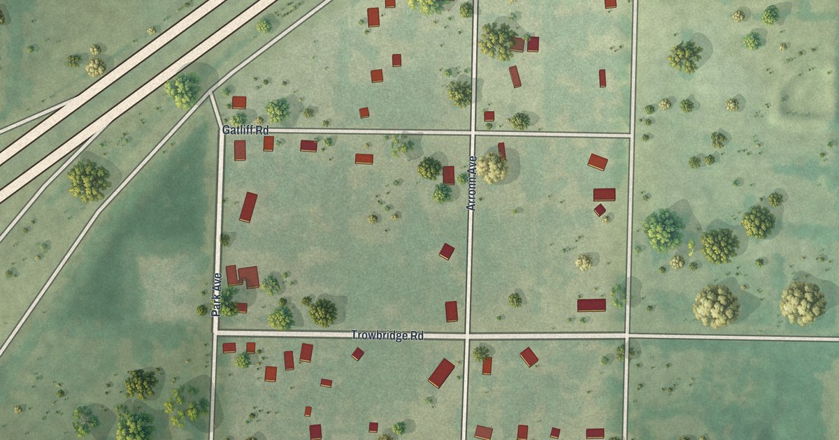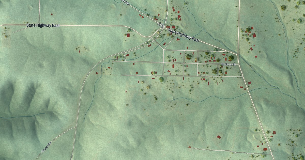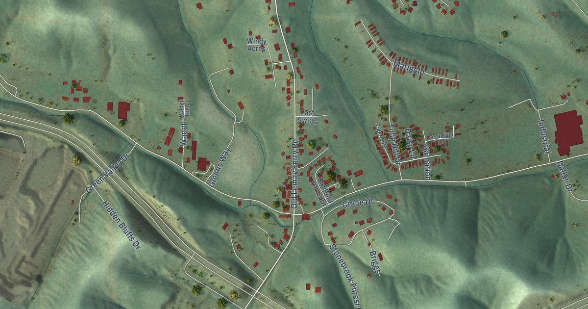
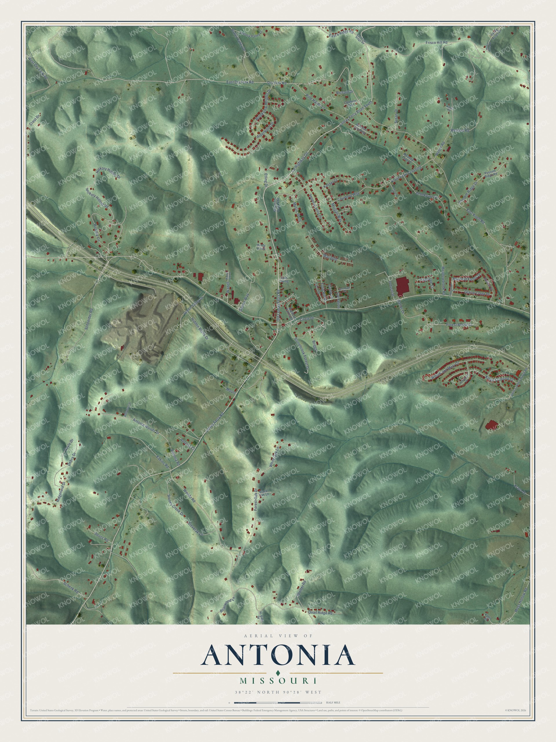
This beautifully detailed map of Antonia, Missouri was created in 2026 using aerial imagery combined with modern topographical, census, street and landmark data. It’s a one-of-a-kind view of Antonia that combines accurate data with a vintage aesthetic. The map shows every building in its true location, many of the roads carry their names, and the shaded topographic relief shows the shape of the land.
Explore an aerial view of Antonia, Missouri
On the map you’ll find Old Lemay Ferry Road, Schneider Road, Mayfield Farms Drive, Lemay Ferry Road, County Highway OO, Lemay Ferry Road South, East Dry Fork Road, Dry Fork Road, East Kneff Road, Wedde Road, Frisco Hill Road, Hickory Hilltop Drive, and more. If you look closely you can even find your house accurately drawn in its correct location. Zoom in on the preview to look for yours.
Take a closer look at the Antonia map
Names on this map
These names are printed on this map.
Streets and roads: Old Lemay Ferry Road, Schneider Road, Mayfield Farms Drive, Lemay Ferry Road, County Highway Oo, Lemay Ferry Road South, East Dry Fork Road, Dry Fork Road, East Kneff Road, Wedde Road, Frisco Hill Road, Hickory Hilltop Drive.
More street names, A to Z
Alderwood Drive, Antonia Court, Antonia Lane, Antonia Road, Antonia Valley Court, Antonia Woods Drive, Armistead Court, Black Oak Lane, Bradford Farms Drive, Briarwood Lane, Briggs, Brookparc Drive, Brookview Heights Drive, Butler Valley Drive, Carnation, Circle Drive, Coleman Trail, Courtney Way, Crest Drive, Daisy Lane, Dallas Drive, Debra Drive, Eakins Road, East 4 Ridge Road, East Four Ridge Road, East Swing, Etling Drive, Farmview Court, Flagstone Court, Forest Brook Court, Forest Oak Drive, Gayle Drive, Geranium Drive, Glaize Creek Drive, Glenns Way, Green Valley Drive, Hickory Circle, Hickory Hilltop Road, Hidden Bluffs Drive, Hi View Drive, Imperial Hills Drive, Industrial, Kassel Court, Kings Crossing Drive, Kneef Road, Kneff Farm Crossing, Kraus Drive, Lipizzaner Drive, Marigold, Meadowbrook Road, Meadow Lane Court, Morgan Way, Moss Hollow Road, Mount, Mountain View Trail, Mystic Point, Pine Haven Lane, Possum Ridge Drive, Possum Ridge Road, Potts Road, Quail Ridge Road, Reuss Road, Richard Drive, Ridgefield Drive, Rocky Acres Drive, Rocky Acres Road, Saint Lukes Church Road, Schenk Road, Shelter Road, Stallion Drive, Steverak Lane, Stonebrook Forest Drive, Stoney Creek Drive, Susan Drive, Tiger Lilly, Tulip Hill Drive, Wadell, Wadell Glenn, Weber Road, Weiland Road, West Dry Fork Road, White Oak Lane, Willam and Mary Court, Windsor Crossing, Windy Acres.
See it on a wall
The Antonia map as a framed print. Swipe for more.


This beautifully detailed map of Antonia makes an attractive addition to your office, library, or den, and it can even be used to teach children the geography and history of the area. It also makes a great gift for someone who left Antonia and still calls it home. When you’re done exploring, click here to get your copy of the Antonia map.