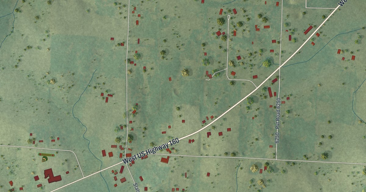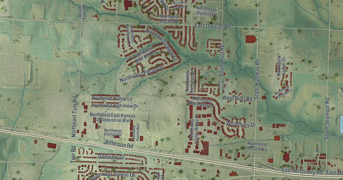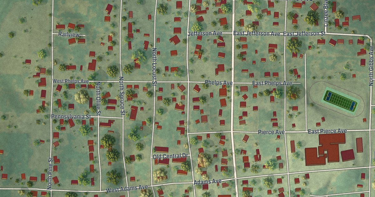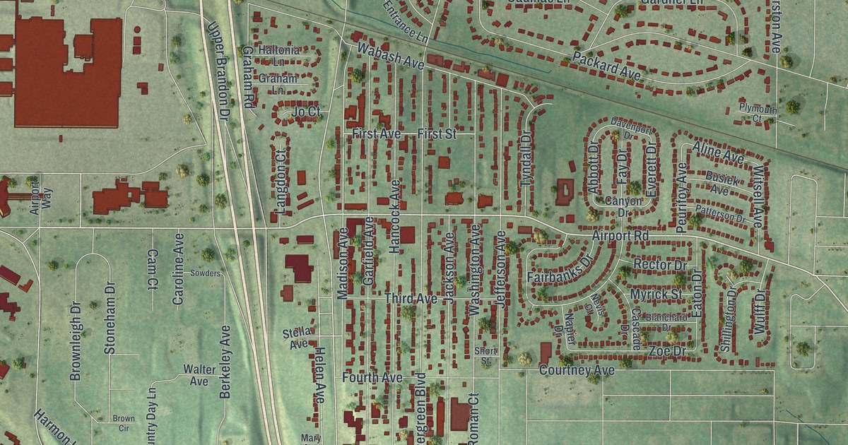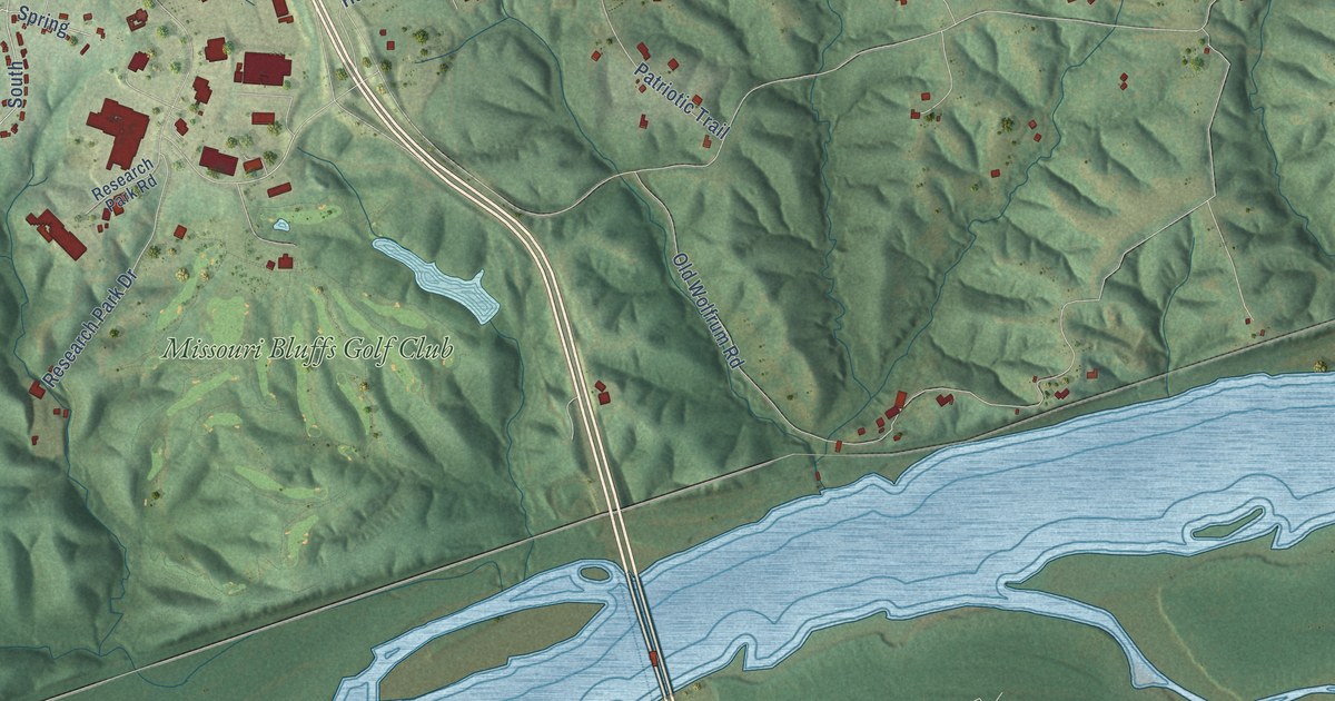
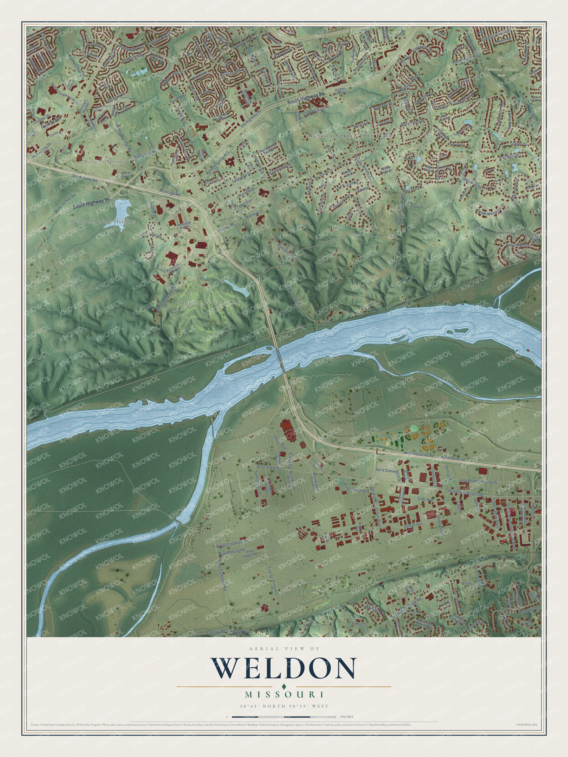
This beautifully detailed map of Weldon, Missouri was created in 2026 using aerial imagery combined with modern topographical, census, street and landmark data. It’s a one-of-a-kind view of Weldon that combines accurate data with a vintage aesthetic. The map shows every building in its true location, many of the roads carry their names, and the shaded topographic relief shows the shape of the land.
Explore an aerial view of Weldon, Missouri
On the map you’ll find Weldon Spring City Hall, Weldon Spring, Weldon Spring Heights, Veterans Tribute Park, Missouri Bluffs Golf Club, and Spring, along with South Highway 94, Westwood Drive, Technology Drive, Bromley Drive, Breeze Park Drive, Cedar Glen Drive, and more. If you look closely you can even find your house accurately drawn in its correct location. Zoom in on the preview to look for yours.
Did You Know?
From Internet Archive: "Following in the paths of the Mormons came James Weldon, the first permanent white settler of the township, and after whom the Weldon lliver takes its name."
Weldon is a community in St. Charles County.
Take a closer look at the Weldon map
Names on this map
These names are printed on this map.
Places: Weldon Spring City Hall, Weldon Spring, Weldon Spring Heights, Veterans Tribute Park and Missouri Bluffs Golf Club.
Streets and roads: South Highway 94, Westwood Drive, Technology Drive, Bromley Drive, Breeze Park Drive, Cedar Glen Drive, Spring, North Eatherton Road, Old Highway 94, Spirit of Saint Louis Boulevard, Maudie Lane, Dunmore Circle.
More street names, A to Z
Abbey Glen Lane, Abor Grove Court, Alexandria Row, Ashboro Drive, Ash Down Forest Court, Aston Way Drive, Auburn Hills Drive, Austin Knoll Court, Austin Pass Drive, Austin Ridge Court, Balboa Lane, Bal Harbor Court, Beckewith Trail, Bell Avenue, Bellow Falls Drive, Bentley Park Circle, Black Horse Drive, Blairbeth Drive, Blue Wing Drive, Boschert Drive, Boulder River Drive, Braid Hill Drive, Braid Hills Drive, Brasher Street, Briar Creek Drive, Briargate Drive, Bridgeway Drive, Bright Gem Drive, Butterfly Lane, Camelot Drive, Canterfield Court, Capri Way, Carters Grove, Castle Douglas Drive, Cedar Junction Lane, Centaur Road, Cepi Drive, Chelsea Way Drive, Chesterfield Airport Road, Chesterfield Buisness Parkway, Chesterfield Industrial Boulevard, Cheyenne Drive, Clarksburg, Claycrest Drive, Clifden Drive, Clydesdale Drive, Convenience Way, Cornwall, Country Lake Estates Drive, Country Park Circle, Country Side Drive, Countryside Forrest Court, Countryside Manor Place, Crosshaven Court, Crown Industrial Court, Crusher Drive, Crusher Street, Crystal Drive, Deep Forest Drive, Discovery West Drive, Dresden Way, Dressel Drive, Dunbarton Drive, Dutchman Lane, Eads Avenue, East Spirit Valley Drive, Edison Avenue, Emerald Place Drive, Enchanted Court, Enchanted Drive, Federalist Place, Fick Farm Road, First Street, Frontage Road, Galahad Drive, Gareth, Gillette Field Close, Glencorse Drive, Glendalough Lane, Goddard Avenue, Goddard Road, Golden Acres Lane, Greenburg Drive, Greenburn Drive, Gregory Gerard Drive, Greyabbey Court, Grey Fox Run, Greystone Manor Parkway, Guinevere Drive, Gutermuth Road, Hager Lane, Hartwig Lane, Hartwig Road, Harvest Run Drive, Hearthside Drive, Hemingway Lane, Hennsley Circle, Hickory Tree Lane, Hidden Creek Drive, Hillenkamp Drive, Huber Park Court, Independence Road, Kabeth Place, Keaton Corporate Parkway, Keaton Woods Drive, Kehrs Mill Road, Kellery Down, King's Manor Drive, Kisker Road, Kyle Drive, Lafayette Drive, Lancelot, Legend, Lissadell Lane, Littleleaf Court, Long Road, Long Road Crossing Drive, Loughmor Pass, Malinmor Drive, Mallards Way, Mergenthal Court, Merlin Drive, Miller School Road, Montecito Terrace, Motherhead Road, Nancy Lane, Newgrange Pass, Norgate Court, North, North Outer 40, North Outer 40 Road, Ofallon Road, Old 94 South, Old Stone Drive, Old Wolfrum Road, Olive Street Road, Osage Way, Outlet Boulevard, Ozark Way, Pacland Estates Drive, Patriotic Trail, Paul Haglin Drive, Perceval Drive, Pitman Hill Road, Precious Stone Drive, Premium Way, President Drive, Progress Point Court, Pvt Valley Lane, Rathfarnum Lane, Research Park Court, Research Park Drive, Research Park Road, River Glen Drive, Roanoke Drive, Rodelle Woods Drive, Roehampton Lane, Rosemount Drive, Rosslare Drive, Roundstone, Running Waters Drive, Sammelmann Road, Savonne Court, Schremmer Place, Sentrus Place, Shaelah Court, Shelton Drive, Siedentop Road, Silver Buck Lane, South, South Breeze, Southbrook Forest Court, South Outer Road, Spirit 40 Park Drive, Spirit Airpark East Drive, Spirit Airpark West Drive, Spirit Commerce Drive, Spirit Drive, Spirit Valley Drive, Spring Drive, Statesman Drive, Stephenridge Drive, Summit Meadow Drive, Tara Oaks Drive, Tower Hill Court, Towers Road, Trade Center Boulevard, Triton Avenue, Tuma Lane, Turbine Avenue, Upper Whitmoor Drive, Valvero Drive, Venice Circle, Wakdenburg Road, Waldo Lane, Walnut Creek Boulevard, Walnut Hill Drive, Wardenburg Road, Waterbury Falls Drive, Wavecrest Circle, Weldon Drive, Weldon Spring Parkway, Weldon Spring Road, Weldon Springs Road, Wellington Farm Drive, Westchester Farm Drive, West Meath Ring, Westwood Ind Park Drive, Whitmoor Drive, Whitmoor Forest Court, Wildflower Lane, Wild Horse Creek Road, Wildhorse Parkway Drive, Willow Lake Court, Wilmas Farm Drive, Wings Corporate Drive, Wings of Hope Boulevard, Wolfrum Road, Wolfrum Way, Wooded Creek Drive, Wrenwyck Place, Wycliffe Court, Wycliffe Drive.
See it on a wall
The Weldon map as a framed print. Swipe for more.


This beautifully detailed map of Weldon makes an attractive addition to your office, library, or den, and it can even be used to teach children the geography and history of the area. It also makes a great gift for someone who left Weldon and still calls it home. When you’re done exploring, click here to get your copy of the Weldon map.