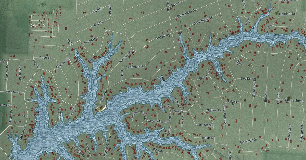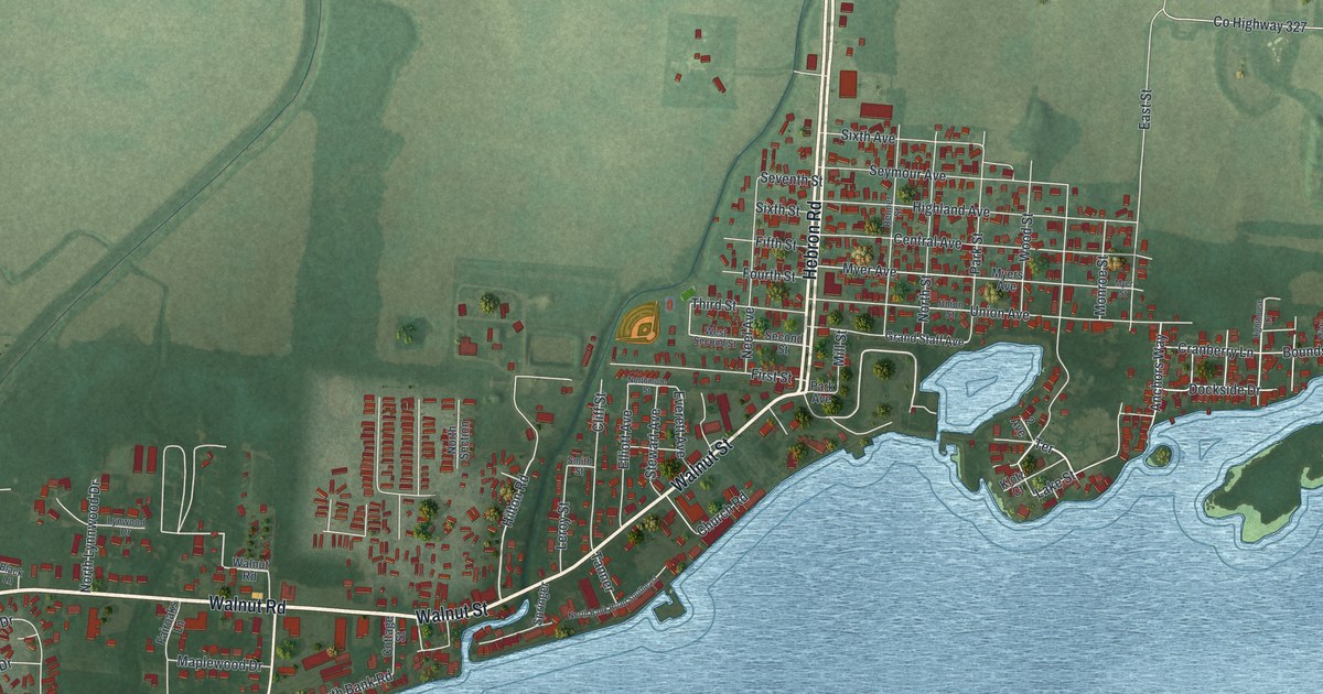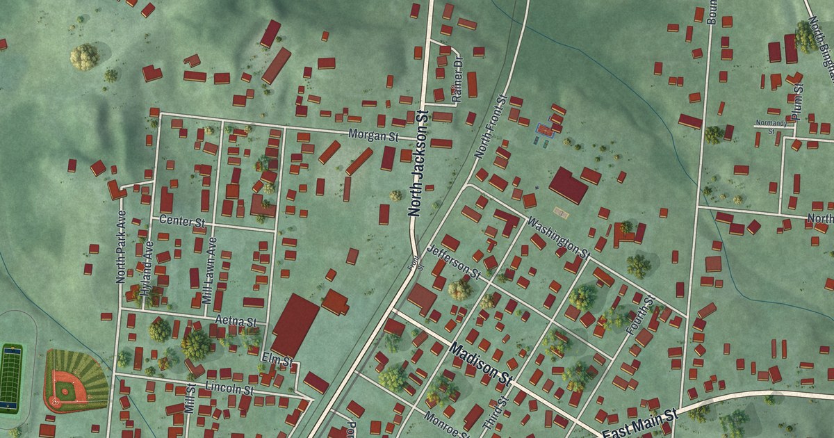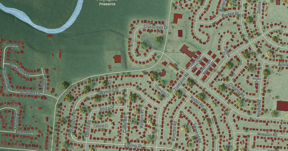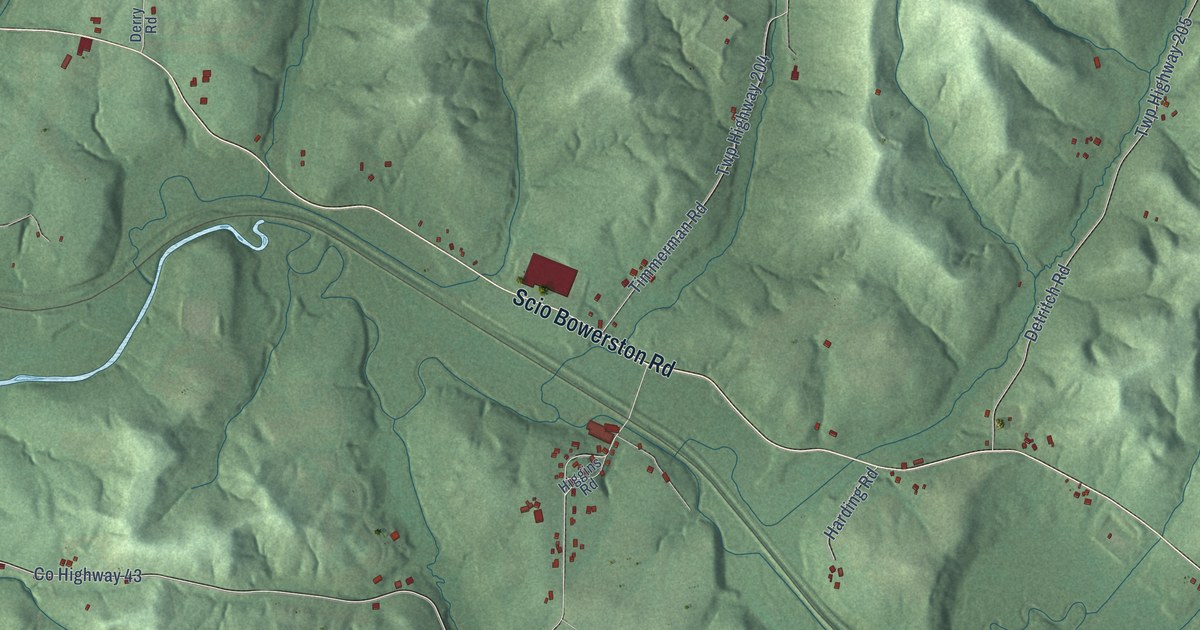
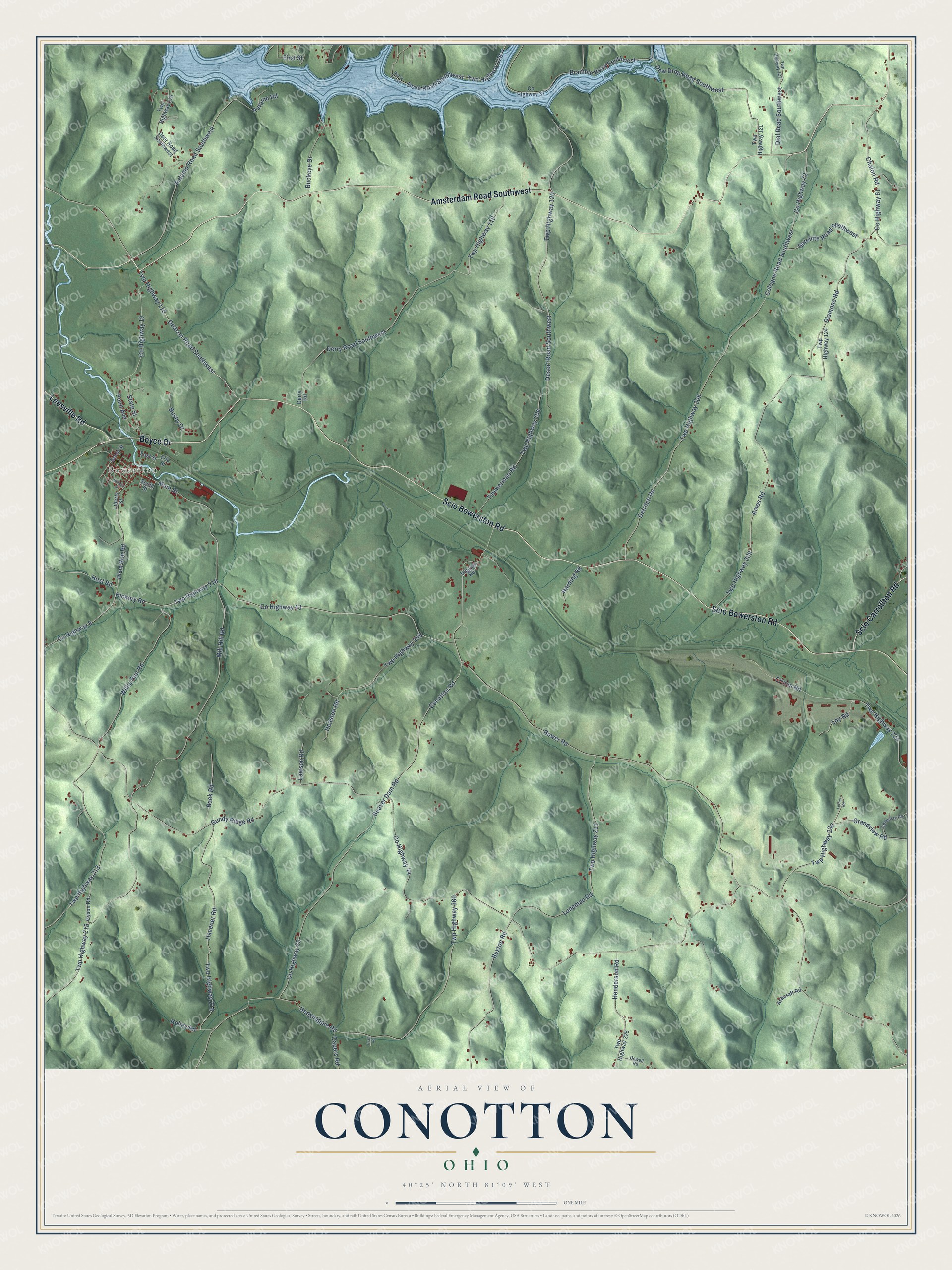
This beautifully detailed map of Conotton, Ohio was created in 2026 using aerial imagery combined with modern topographical, census, street and landmark data. It’s a one-of-a-kind view of Conotton that combines accurate data with a vintage aesthetic. The map shows every building in its true location, many of the roads carry their names, and the shaded topographic relief shows the shape of the land.
Explore an aerial view of Conotton, Ohio
On the map you’ll find Bowerston, along with Boyce Drive, Amsterdam Road Southwest, Scio Bowerston Road, Scio Carrollton Road, Leesville Road, Deacon Road Southwest, Twp Highway 115, Bower Road, Grandview Road, Twp Highway 230, Hickory Road, and more. If you look closely you can even find your house accurately drawn in its correct location. Zoom in on the preview to look for yours.
Did You Know?
From Internet Archive: "In early manhood he came to Ohio and settled in Harrison County, near Conotton."
Conotton is a community in Harrison County.
Take a closer look at the Conotton map
Names on this map
These names are printed on this map.
Places: Bowerston.
Streets and roads: Boyce Drive, Amsterdam Road Southwest, Scio Bowerston Road, Scio Carrollton Road, Leesville Road, Deacon Road Southwest, Twp Highway 115, Bower Road, Grandview Road, Twp Highway 230, Hickory Road, County Highway 44.
More street names, A to Z
Amos Road, Ashcraft Road, Autumn Road, Autumn Road Southwest, Back Road, Beaver Dam Road, Bramble Road Southwest, Buckeye Drive, Busby Drive, Buxton Road, Capers Road, Cemetery Road, Chalon Road, Cologne Road Southwest, Conotton Road, County Highway 8, County Highway 19, County Highway 25, County Highway 37, County Highway 43, County Highway 61, County Highway 72, Crall Road, Crimm Road, Deer Road Southwest, Derry Road, Derry Road Southwest, Desert Road Southwest, Detritch Road, Dew Drop Road Southwest, Dewell Road, Dial Road Southwest, Diamond Road, Dove Road Southwest, East Street, Erie Street, First Street, Gordon Street, Grant Street, Gundy Ridge Road, Gyson Road, Harding Road, Havener Road, Heaston Road, Hedgeapple Road, Henderson Road, Higgins Road, Holley Road, Host Road, Lawson Road, Leffier Road, Liberty Street, Loy Road, Luneman Road, Main Street, Mill Hill Road, Penn Avenue, Perry Tr 126, Plum Run Road, Satellite Road Southwest, South Street, State Street, Timmerman Road, Twp Highway 116, Twp Highway 119, Twp Highway 120, Twp Highway 121, Twp Highway 122, Twp Highway 124, Twp Highway 126, Twp Highway 204, Twp Highway 205, Twp Highway 208, Twp Highway 210, Twp Highway 213, Twp Highway 215, Twp Highway 216, Twp Highway 218, Twp Highway 223, Twp Highway 225, Twp Highway 359, Twp Highway 360, Willis Run Road.
See it on a wall
The Conotton map as a framed print. Swipe for more.


This beautifully detailed map of Conotton makes an attractive addition to your office, library, or den, and it can even be used to teach children the geography and history of the area. It also makes a great gift for anyone with Conotton roots. When you’re done exploring, click here to get your copy of the Conotton map.