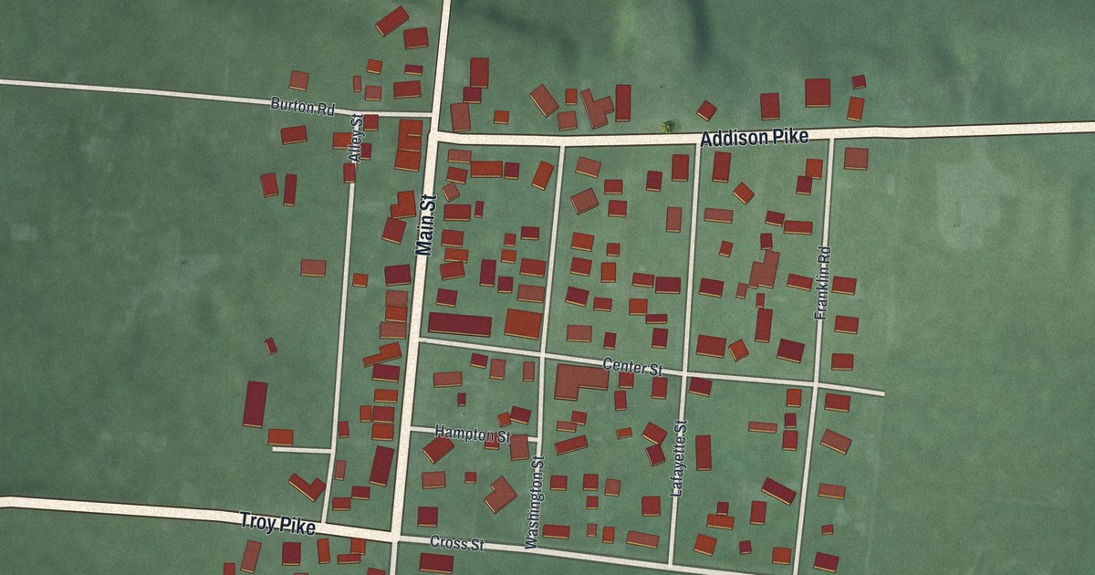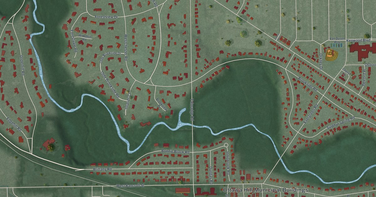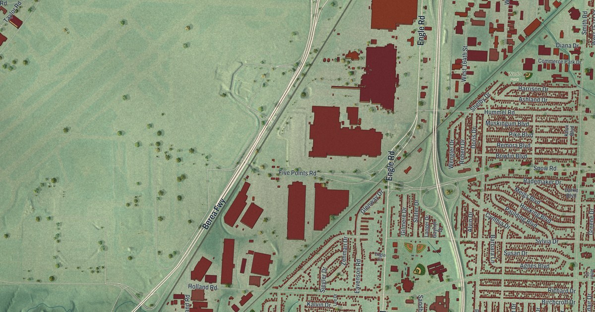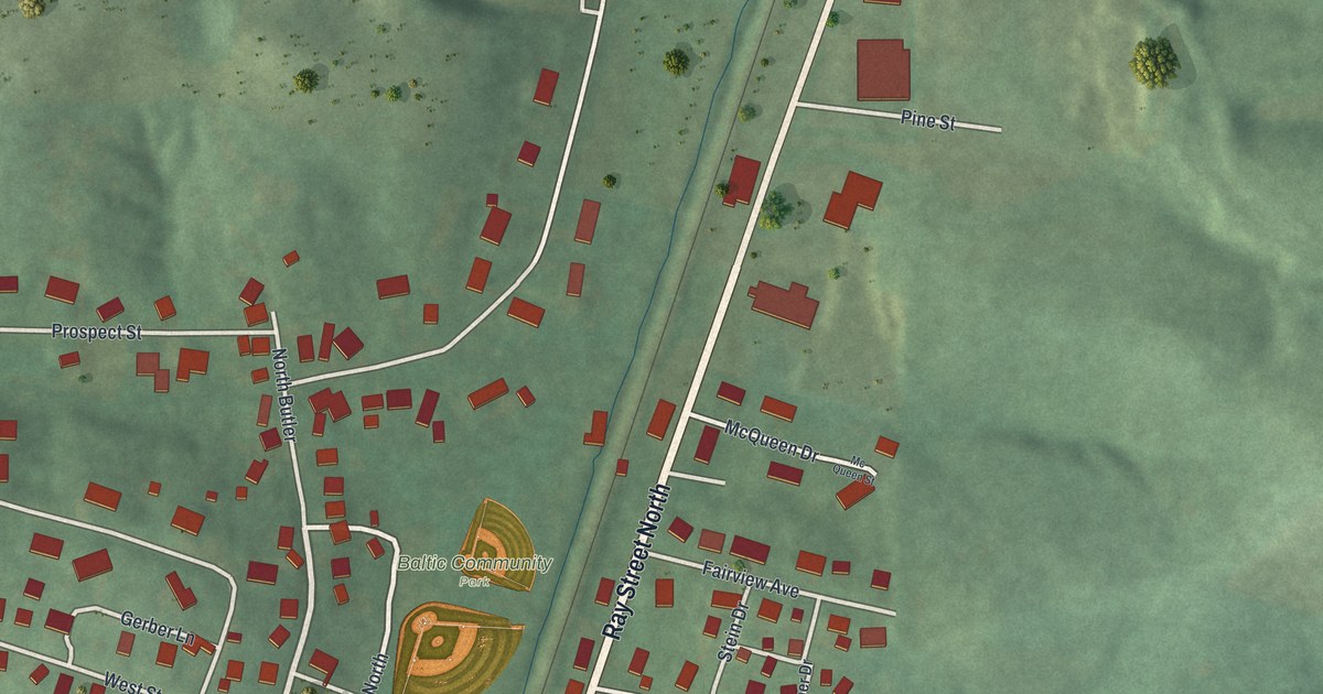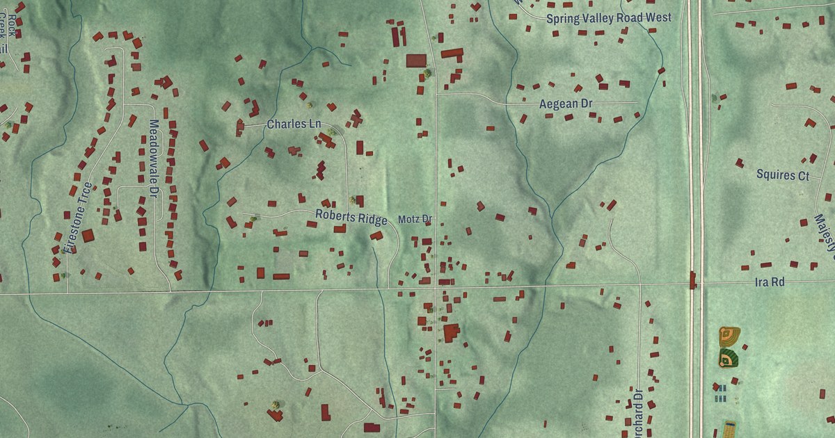
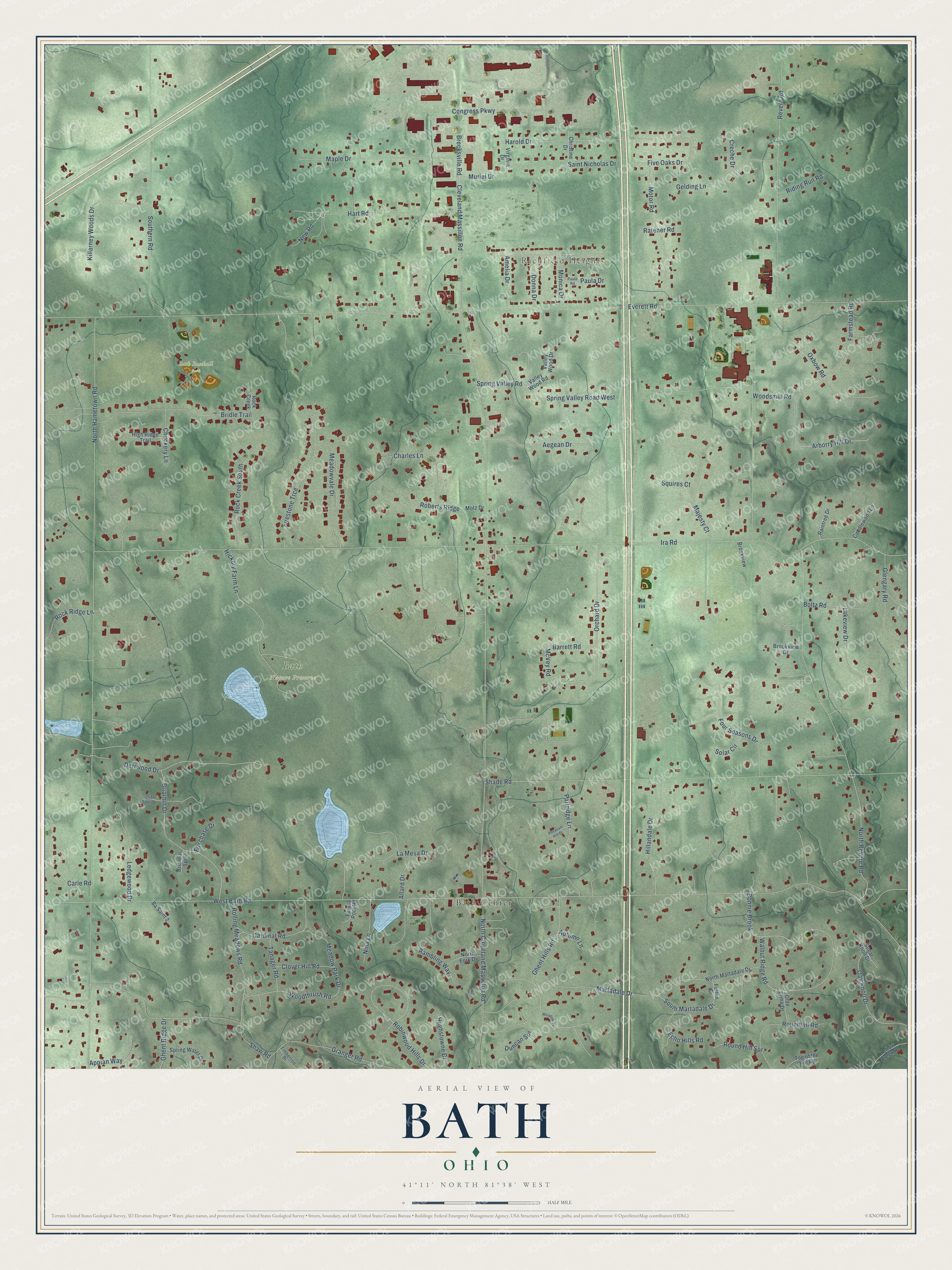
This beautifully detailed map of Bath, Ohio was created in 2026 using aerial imagery combined with modern topographical, census, street and landmark data. It’s a one-of-a-kind view of Bath that combines accurate data with a vintage aesthetic. The map shows every building in its true location, many of the roads carry their names, and the shaded topographic relief shows the shape of the land.
Explore an aerial view of Bath, Ohio
On the map you’ll find Richfield Heights, Bath Nature Preserve, Bath Baseball Park, and Bath Center, along with New Road, South Martadale Drive, Orchard Drive, Spring Valley Road West, McVey Road, West Bath Road, Everett Road, Ira Road, and more. If you look closely you can even find your house accurately drawn in its correct location. Zoom in on the preview to look for yours.
Did You Know?
From the 1907 history of Youngstown and Mahoning County, Ohio: "Robert Price, from whom Priceville was named, came in 1817, Robert Rose, a native of Bath, Virginia, born in 1786, came to Ellsworth from Poland township with his father when a youth."
Bath is a community in Summit County.
Take a closer look at the Bath map
Names on this map
These names are printed on this map.
Places: Richfield Heights, Bath Nature Preserve, Bath Baseball Park and Bath Center.
Streets and roads: New Road, South Martadale Drive, Orchard Drive, Spring Valley Road West, McVey Road, West Bath Road, Everett Road, Ira Road, North Cleveland Massillon Road, North Hametown Road, North Revere Road, Shade Road.
More street names, A to Z
Aegean Drive, Allard Drive, Amelia Drive, Appian Way, Arborry Hill Drive, Autumn Lane, Barrett Road, Ba Saint 2, Boltz Road, Bonnie Brook, Brecksville Road, Briarhill Drive, Briarhill Spr, Bridle Trail, Brookview, Brookview Drive, Candlewood Lane, Cardinal Road, Carle Road, Charles Lane, Christine Drive, Chuckery Lane, Cleveland Massillon Road, Cliff Spur Drive, Clover Hill Road, Congress Parkway, Creche Drive, Derrwood Drive, Donna Drive, Duncan Spr, Echo Hills Road, Farmstead Road, Firestone Trce, Five Oaks Drive, Forest Pool Road, Four Seasons Drive, Foxchase Drive, Fulton Drive, Gelding Lane, Ghent Hills Road, Ghent Ridge Drive, Glengary Road, Granger Road, Harold Drive, Hart Road, Hickory Farm Lane, High Ridge Trail, Hillandale Drive, Hughstowne Drive, Killarney Woods Drive, Lakeview Drive, La Mesa Drive, Ledgewood Drive, Majesty Court, Maple Drive, Martadale Drive, Meadow Park Drive, Meadow Spr, Meadowvale Drive, Monica Drive, Motor Road, Motz Drive, Muriel Drive, Nina Lane, North Fork Drive, North Martadale Drive, Oak Knoll Drive, Olde Lyme Drive, Oxbow Road, Partridge Lane, Paula Drive, Paula Road, Pheasant Hill Drive, Raintree Drive, Rambling Way, Ratener Road, Revere Road, Riding Run Road, Roberts Ridge, Robinwood Hills Drive, Rock Creek, Rock Creek South, Rock Ridge Lane, Rolling Meadows Road, Roundhill Road, Round Hill Spr, Saint Nicholas Drive, Shaw Road, Solar Circle, Southern Road, Spring Valley Road, Spring Water Drive, Squires Court, Sugar Knoll Drive, Tanager Road, Timberline Drive, Top of the Hill Road, Valley Wood Drive, Valley Wood Road, Virginia Drive, Walnut Ridge Road, Woodsmill Road, Woodthrush Road, Yellow Creek Road.
See it on a wall
The Bath map as a framed print. Swipe for more.


This beautifully detailed map of Bath makes an attractive addition to your office, library, or den, and it can even be used to teach children the geography and history of the area. It also makes a great gift for someone who left Bath and still calls it home. When you’re done exploring, click here to get your copy of the Bath map.