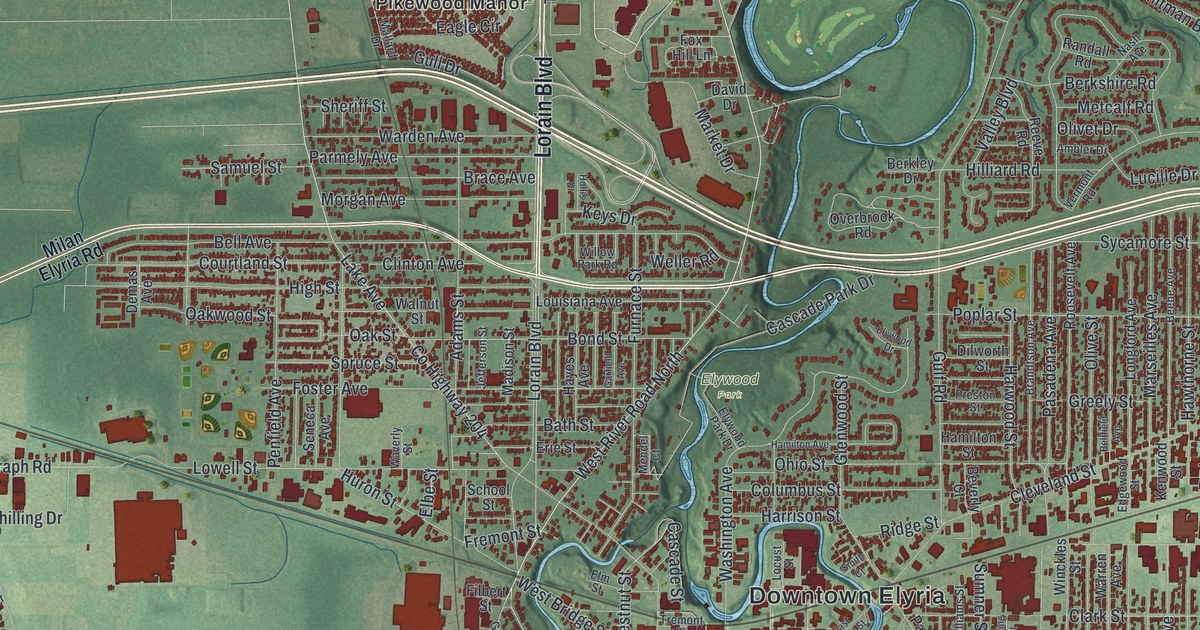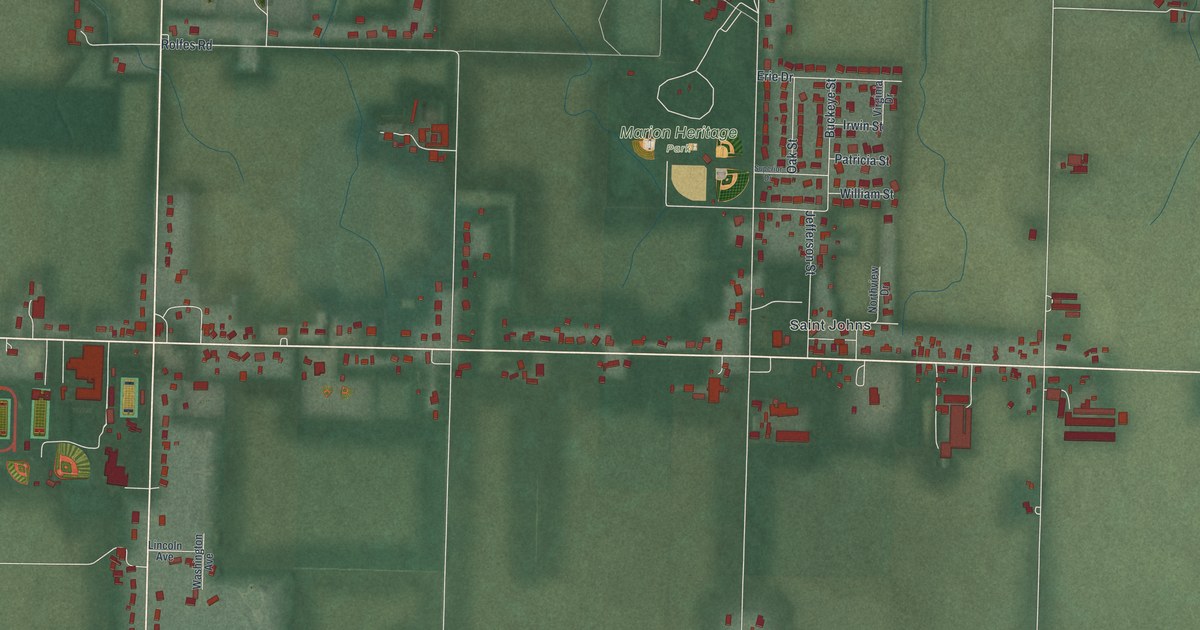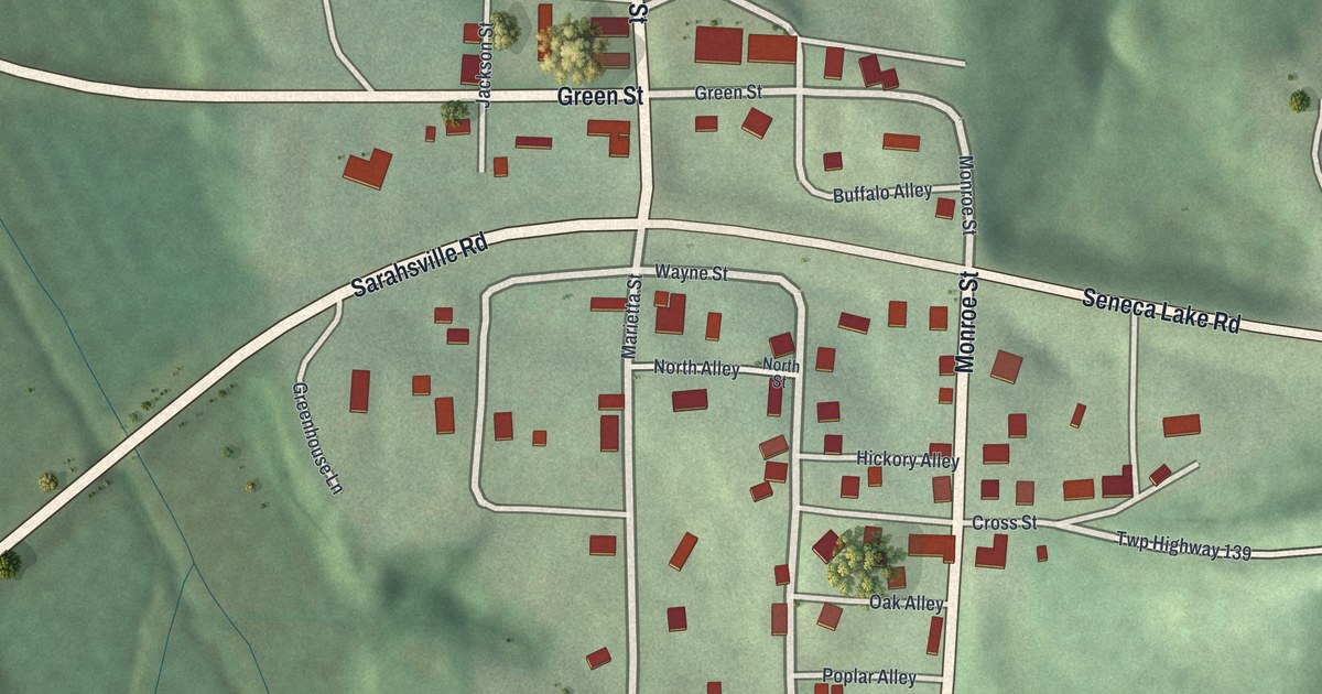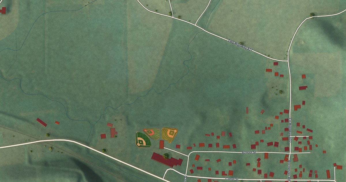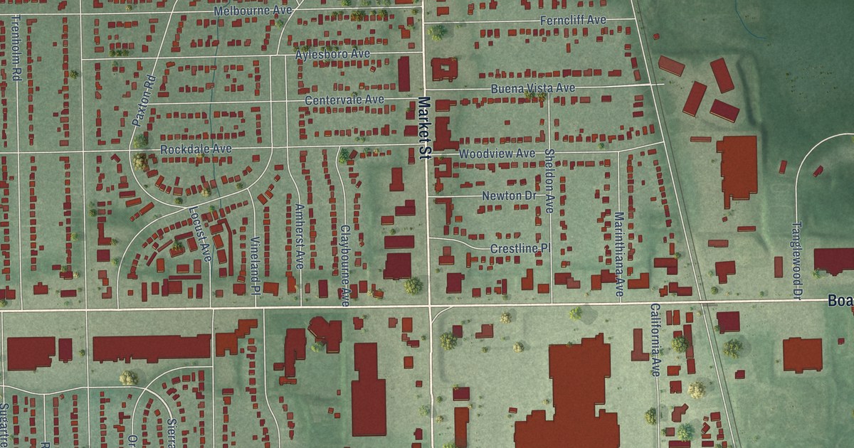
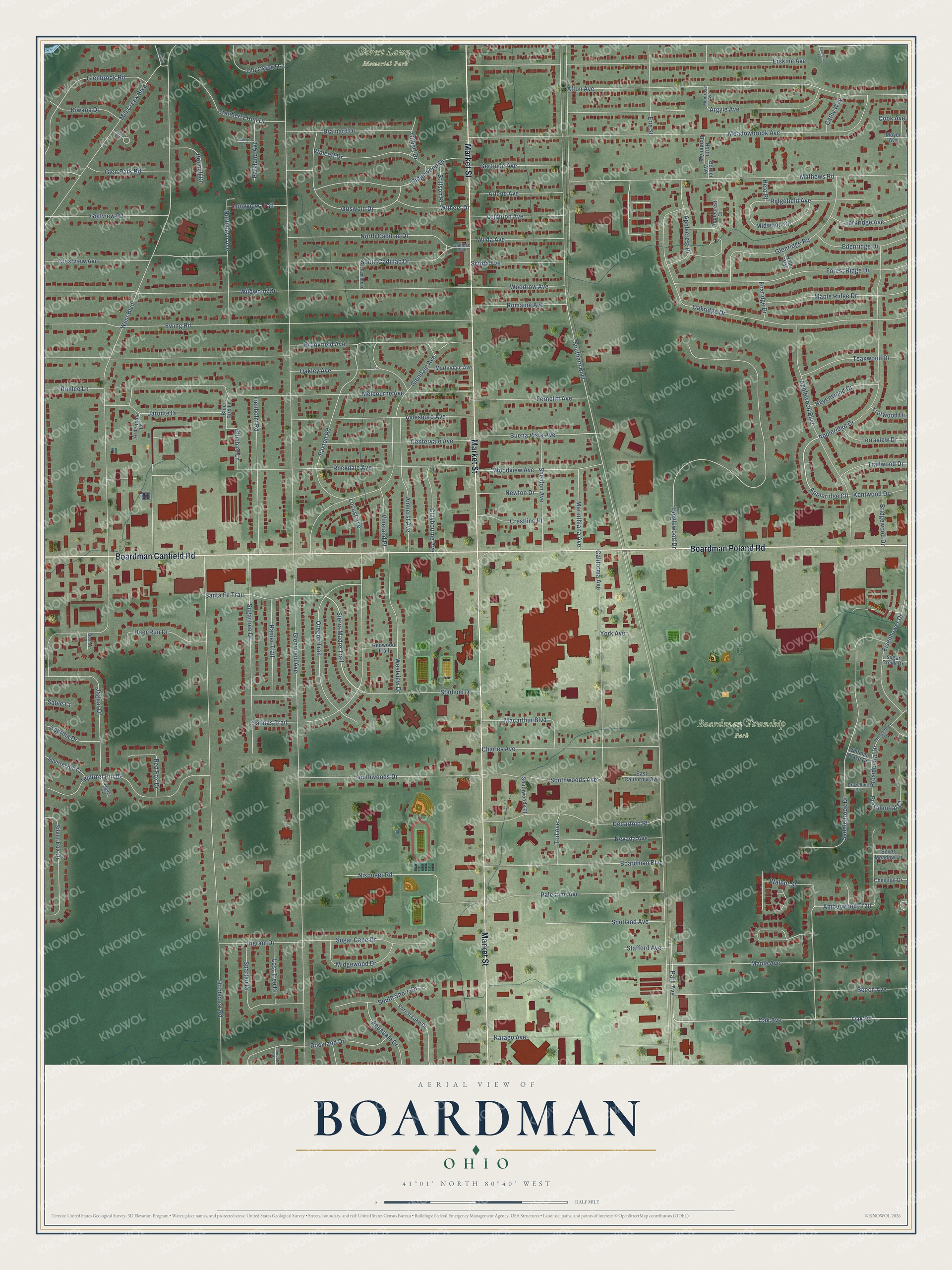
This beautifully detailed map of Boardman, Ohio was created in 2026 using aerial imagery combined with modern topographical, census, street and landmark data. It’s a one-of-a-kind view of Boardman that combines accurate data with a vintage aesthetic. The map shows every building in its true location, many of the roads carry their names, and the shaded topographic relief shows the shape of the land.
Explore an aerial view of Boardman, Ohio
On the map you’ll find Boardman Township Park and Forest Lawn Memorial Park, along with Market Street, Boardman Canfield Road, Boardman Poland Road, Mathews Road, Oak Avenue, Sierra Madre Trail, Appleridge Circle, Southern Boulevard, Glenwood Avenue, West Boulevard, and more. If you look closely you can even find your house accurately drawn in its correct location. Zoom in on the preview to look for yours.
Did You Know?
From the 1907 history of Youngstown and Mahoning County, Ohio: "The township derived its name from Elijah Boardman, who, accompanied by six companions, among them Nathaniel and Ebenezer Blakely and a man named Summers, settled here in 1798."
Boardman is a community in Mahoning County.
Take a closer look at the Boardman map
Names on this map
These names are printed on this map.
Places: Boardman Township Park and Forest Lawn Memorial Park.
Streets and roads: Market Street, Boardman Canfield Road, Boardman Poland Road, Mathews Road, Oak Avenue, Sierra Madre Trail, Appleridge Circle, Southern Boulevard, Glenwood Avenue, West Boulevard, Hitchcock Road, Brookfield Avenue.
More street names, A to Z
Afton Avenue, Amberwood Trail, Amherst Avenue, Anthos Court, Applecrest Court, Applecrest Drive, Appleridge Drive, Applewood Boulevard, Aquadale Drive, Ardendale Lane, Argyle Avenue, Arlene Avenue, Aylesboro Avenue, Beech Avenue, Bluebird Lane, Blue Bird Lane, Boardman Boulevard, Bonnell Drive, Bonnie Place, Border Avenue, Brainard Drive, Brazelton Drive, Bridgewood Drive, Buena Vista Avenue, Cadillac Boulevard, California Avenue, Cathy Way, Centervale Avenue, Charles Avenue, Chestnut Drive, Claybourne Avenue, Cook Avenue, Cranberry Run Drive, Cranbury Lane, Crestline Place, Crestview Avenue, Debartolo Place, Deerpath Drive, Deer Run Drive, East California Avenue, Edenridge Drive, Eisenhower Drive, Erie Street, Erskine Avenue, Ewing Road, Ferncliff Avenue, Forest Lake Drive, Forest Ridge Drive, Foxridge Drive, Gertrude Avenue, Gilbert Drive, Glenbrook Road, Glendale Avenue, Glen Park Road, Glenridge Road, Golfview Road, Griswold Drive, Havenwood Drive, Helo Place, Holm Way, Ingram Drive, Jaguar Court, Jaguar Drive, Jaronte Drive, Karago Avenue, Kentwood Drive, Kiwana Drive, Larkridge Avenue, Leighton Avenue, Locust Avenue, Longview Trail, Lost Tree Drive, Macarthur Boulevard, Maple Avenue, Maple Ridge Drive, Marilyn Place, Marinthiana Avenue, Marlindale Avenue, Meadowbrook Avenue, Melbourne Avenue, Midgewood Drive, Midwood Circle, Mill Creek Boulevard, Montrose Avenue, Moyer Avenue, Nevada Avenue, Newton Drive, Nisonger Road, North Border Avenue, North Cadillac Drive, Northlawn Avenue, Oakley Avenue, Oakridge Drive, Oak Road, Old Oxford Lane, Oregon Trail, Palestine Avenue, Park Avenue, Parkland Avenue, Paxton Road, Pembroke Place, Plymouth Drive, Presidential Court, Presidential Drive, Ranier Trail, Red Fox Drive, Redwood Trail, Ridgefield Avenue, Ridgewood Drive, Rockdale Avenue, Rockland Drive, Romaine Avenue, Ronlee Lane, Sable Court, Sabrina Drive, Saddlebrook Drive, Salinas Trail, Santa Fe Trail, Sciota Avenue, Scotland Avenue, Sheldon Avenue, Silver Fox Drive, Silver Meadow Lane, South Cadillac Drive, South Shore Drive, Southwoods Avenue, Southwoods Drive, Southwoods Place, Spartan Drive, Squirrel Hill Court, Squirrel Hill Drive, Stadium Drive, Stafford Avenue, Stillson Place, Sugar Cane Drive, Sugar Creek Drive, Sugartree Drive, Tanglewood Drive, Teakwood Drive, Terraview Drive, Tod Avenue, Trailwood Drive, Trenholm Road, Trotwood Drive, Vineland Place, Walnut Street, Westview Drive, Whitman Chase Drive, Wilda Avenue, Wildwood Drive, Winterberry Drive, Withers Drive, Wolcott Drive, Woodrow Avenue, Woodview Avenue, York Avenue.
See it on a wall
The Boardman map as a framed print. Swipe for more.


This beautifully detailed map of Boardman makes an attractive addition to your office, library, or den, and it can even be used to teach children the geography and history of the area. It also makes a great gift for anyone with Boardman roots. When you’re done exploring, click here to get your copy of the Boardman map.