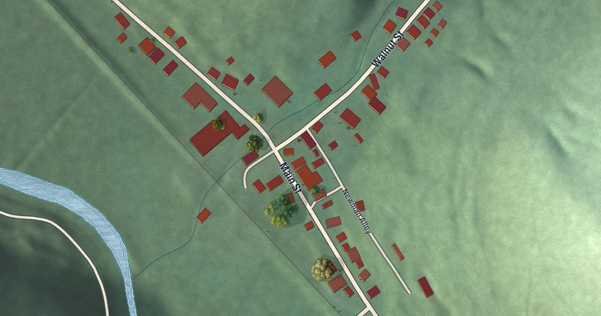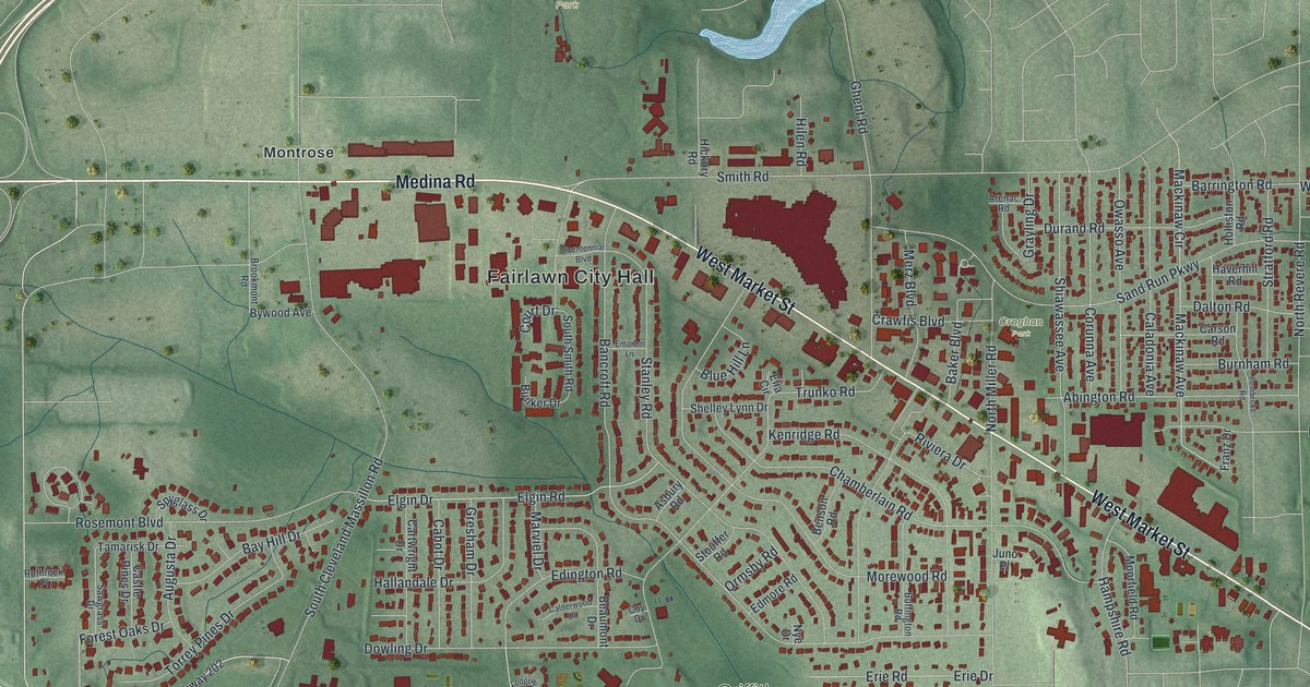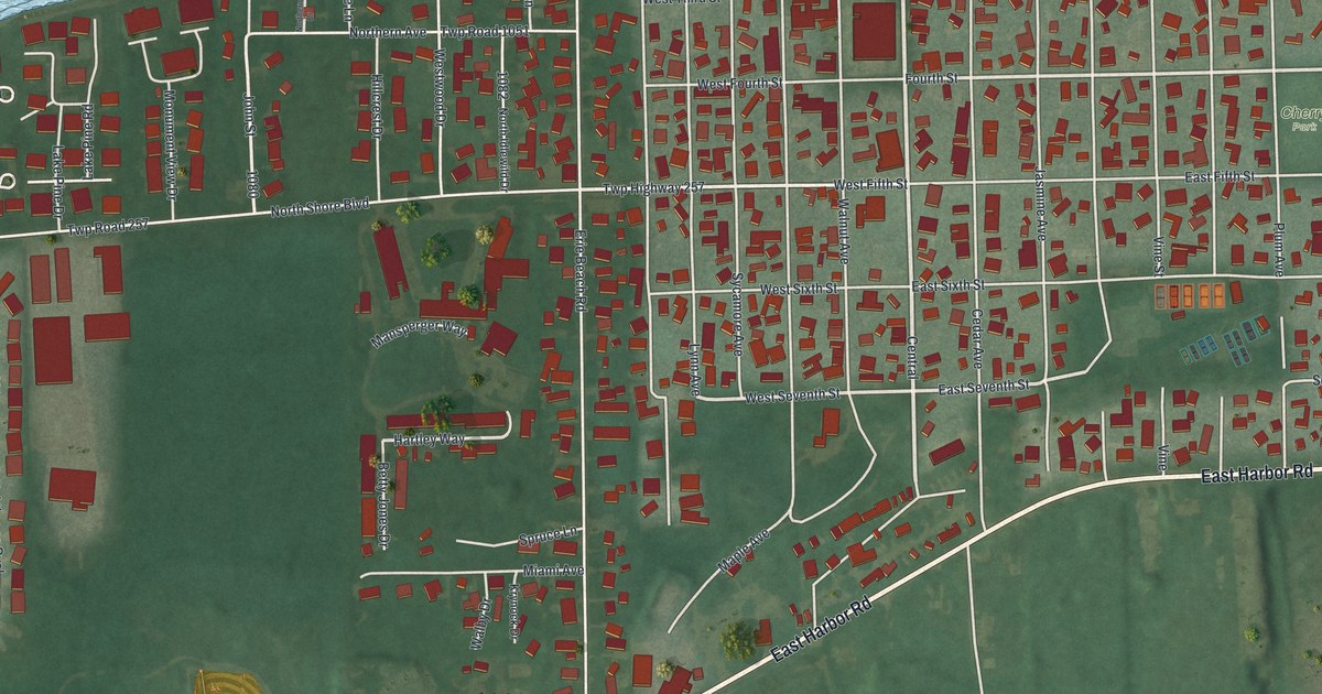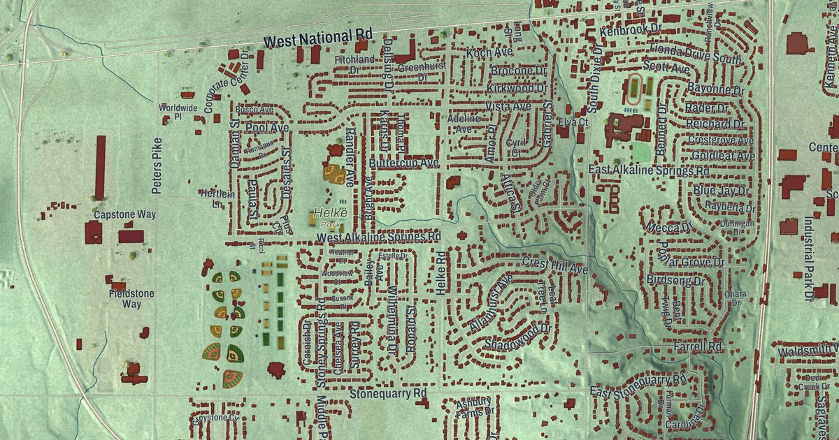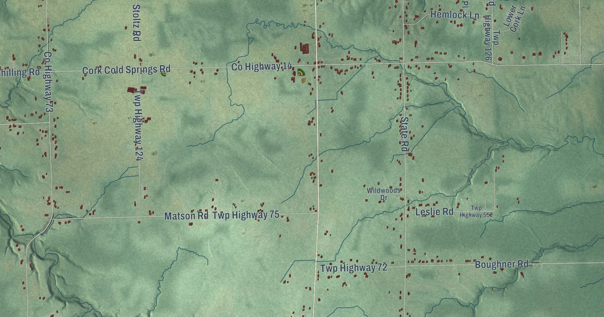
This beautifully detailed map of Cork, Ohio was created in 2026 using aerial imagery combined with modern topographical, census, street and landmark data. It’s a one-of-a-kind view of Cork that combines accurate data with a vintage aesthetic. The map shows every building in its true location, many of the roads carry their names, and the shaded topographic relief shows the shape of the land.
Explore an aerial view of Cork, Ohio
On the map you’ll find Harpersfield, Footville, Trumbull, and Unionville, along with South Ridge Road West, County Highway 69, Trumbull Road, Clyde Hill Road, Short Road, Barrett Road, County Highway 70, South River Road West, and more. If you look closely you can even find your house accurately drawn in its correct location. Zoom in on the preview to look for yours.
Did You Know?
From Internet Archive: "John Kelsey lived near Cork, near the Harpcrsfield church, and cut his farm of 183 acres out of the timber."
Cork is a community in Ashtabula County.
Take a closer look at the Cork map
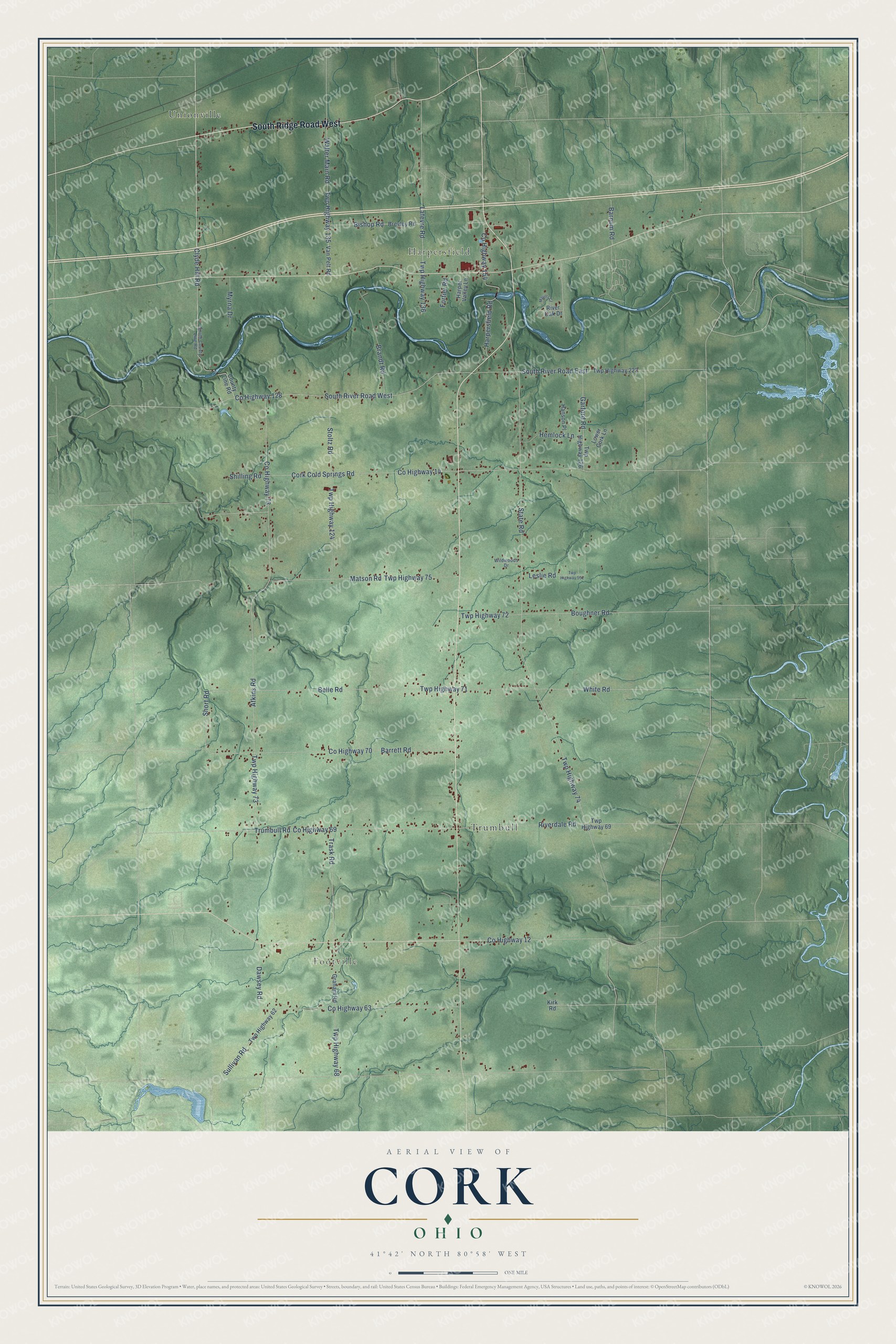
Names on this map
These names are printed on this map.
Places: Harpersfield, Footville, Trumbull and Unionville.
Streets and roads: South Ridge Road West, County Highway 69, Trumbull Road, Clyde Hill Road, Short Road, Barrett Road, County Highway 70, South River Road West, County Highway 14, Cork Cold Springs Road, County Highway 12, State Road.
More street names, A to Z
Atkins Road, Barnum Road, Belle Road, Bishop Road, Boughner Road, Brandt Road, Breyley Road, County Highway 63, County Highway 73, County Highway 128, County Highway 154, County Line Road, Dawsey Road, Fortier Road, Garford Road, Graham Road, Hanson Place, Harpersfield Road, Harper Valley Lane, Hemlock Lane, Kirk Road, Lafevre Road, Leslie Road, Lower Cork Lane, Matson Road, Mayers Court, Myrna Drive, Riverdale Road, River Oak Drive, Shilling Road, South County Line Road, South River Road East, Stoltz Road, Sullivan Road, Trask Road, Twp Highway 62, Twp Highway 68, Twp Highway 69, Twp Highway 71, Twp Highway 72, Twp Highway 73, Twp Highway 74, Twp Highway 75, Twp Highway 124, Twp Highway 126, Twp Highway 135, Twp Highway 136, Twp Highway 222, Twp Highway 552, Van Pelt Road, Walter Main Road, White Road, Wildwoods Drive.
See it on a wall
The Cork map as a framed print. Swipe for more.


This beautifully detailed map of Cork makes an attractive addition to your office, library, or den, and it can even be used to teach children the geography and history of the area. It also makes a great gift for anyone with Cork roots. When you’re done exploring, click here to get your copy of the Cork map.