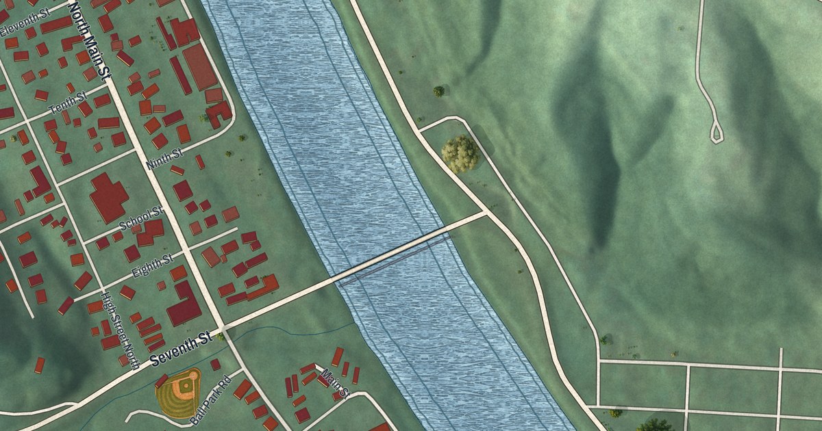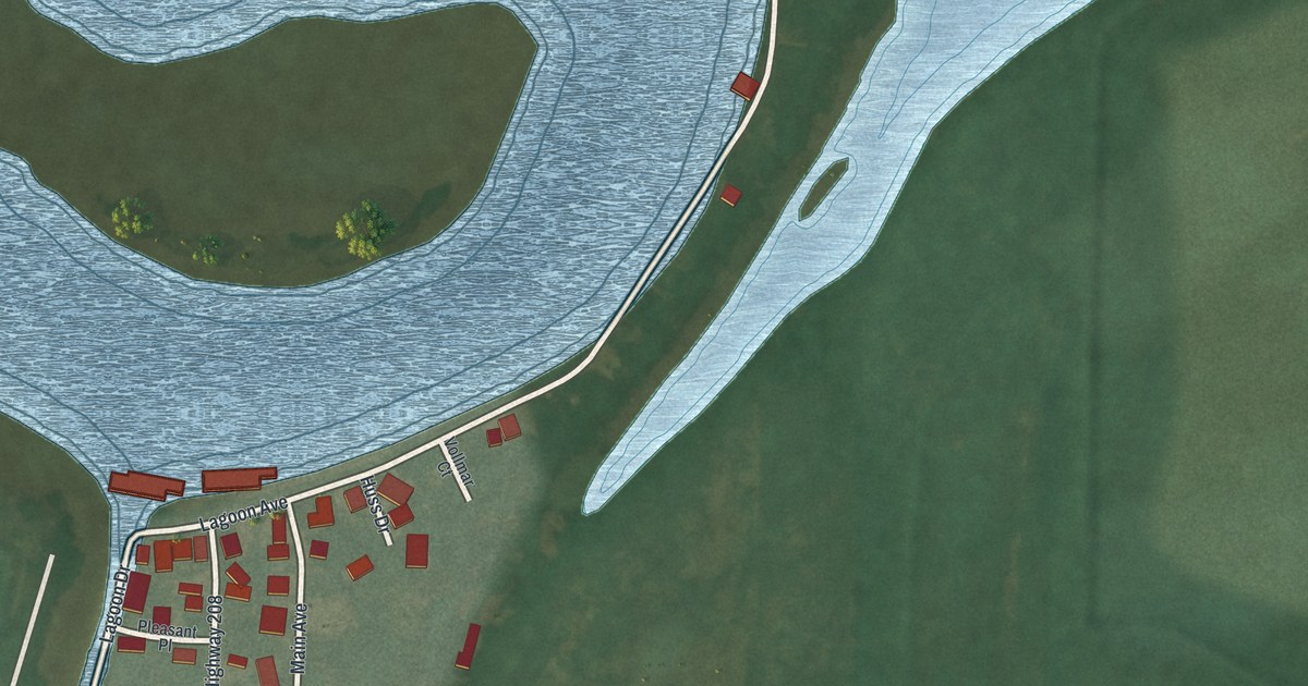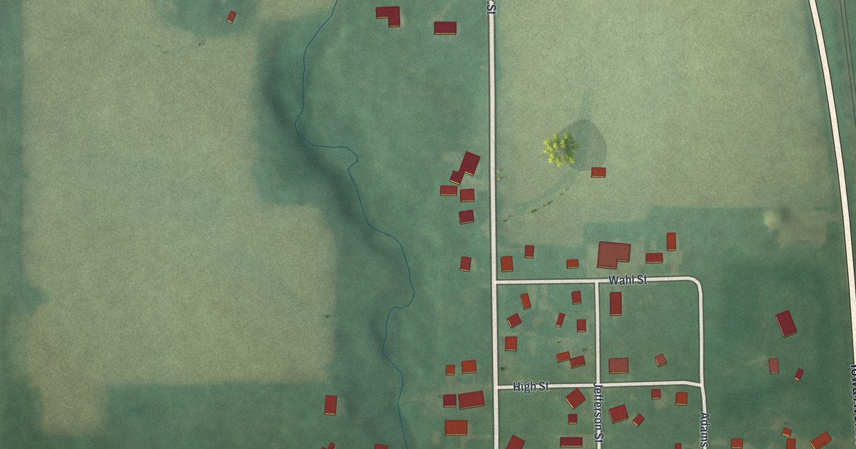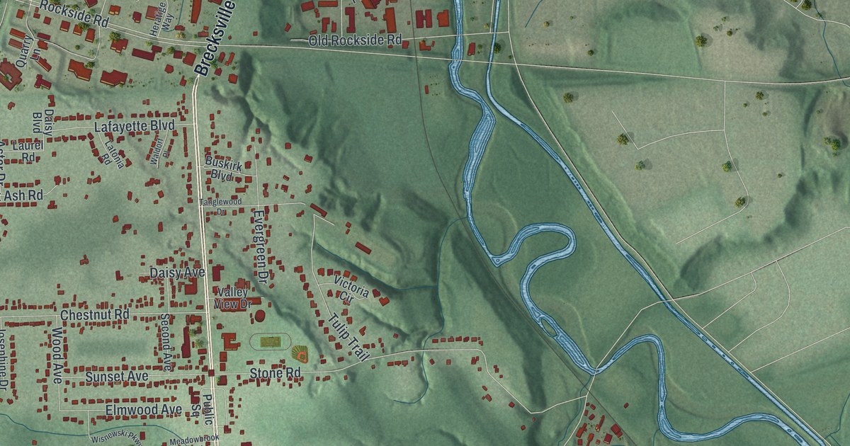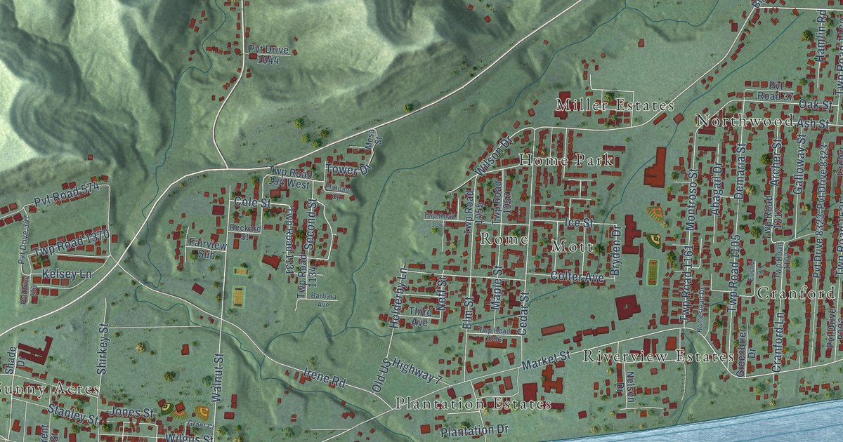
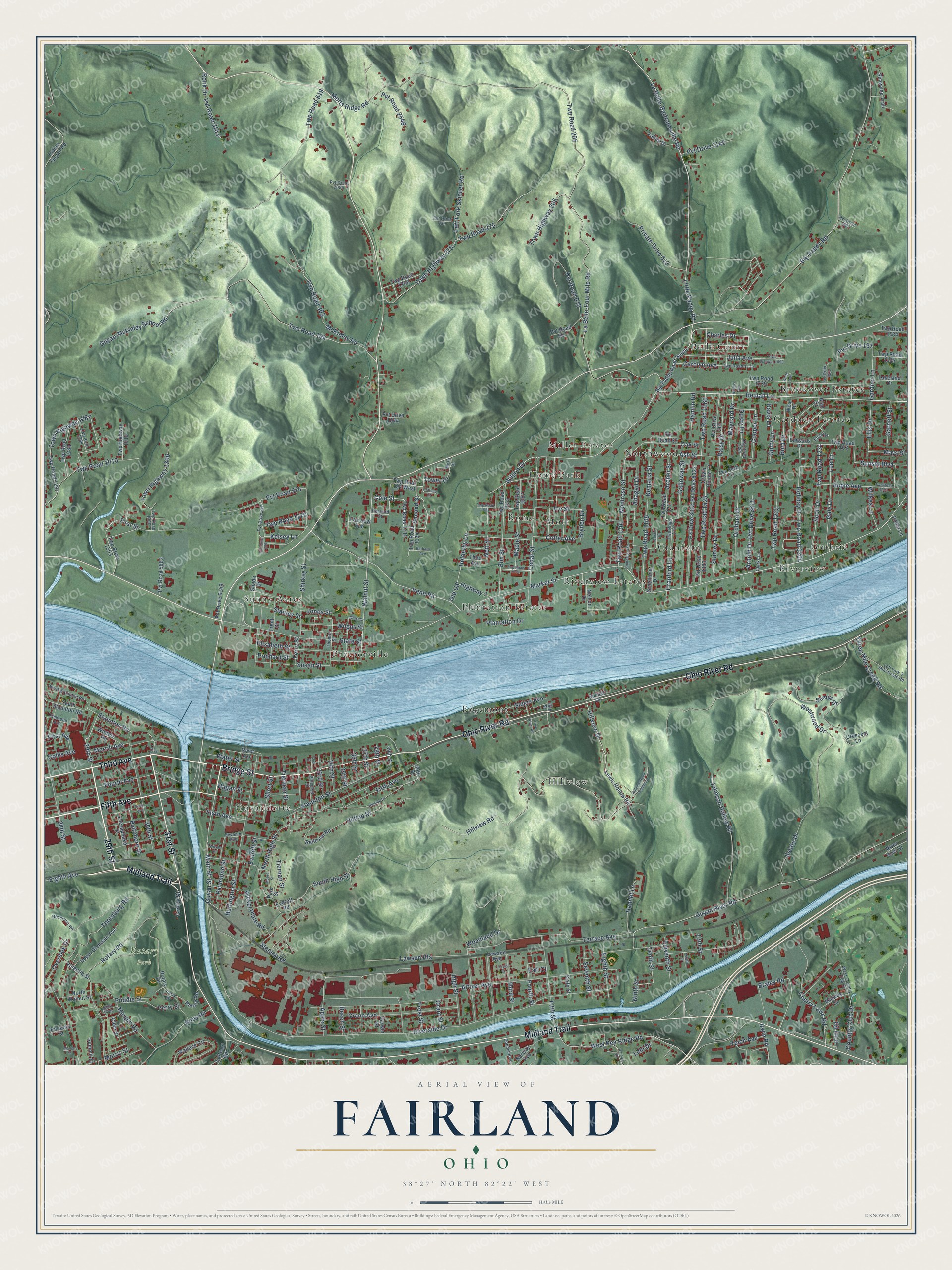
This beautifully detailed map of Fairland, Ohio was created in 2026 using aerial imagery combined with modern topographical, census, street and landmark data. It’s a one-of-a-kind view of Fairland that combines accurate data with a vintage aesthetic. The map shows every building in its true location, many of the roads carry their names, and the shaded topographic relief shows the shape of the land.
Explore an aerial view of Fairland, Ohio
On the map you’ll find Rotary Park, Brookover Estates, Sunny Acres, Mott, Guyandotte, Hillview, Riverview, Plantation Estates, Northwood, Edgemont, and Cranford, along with Belle Court, and more. If you look closely you can even find your house accurately drawn in its correct location. Zoom in on the preview to look for yours.
Did You Know?
From Internet Archive: "OORT eure LE RTE IMA A Ministers’, Deacons’ and Sunday-school Superintendents’ Meeting for Flat Reck Association Was held at Fairland, Ind., May 9 and 10."
Fairland is a community in Lawrence County.
Take a closer look at the Fairland map
Names on this map
These names are printed on this map.
Places: Rotary Park, Brookover Estates, Sunny Acres, Mott, Guyandotte, Hillview, Riverview, Plantation Estates, Northwood, Belle Court, Edgemont, Cranford, Proctorville, Miller Estates, Home Park, Riverview Estates, Guthrie, Gardner Terrace and Rome.
Streets and roads: Third Avenue, Fifth Avenue, Bridge Street, 29th Street, Midland Trail, Ohio River Road, 31st Street, Beulah Lane, Staunton Road, Walnut Street, Cole Street, First Street.
More street names, A to Z
13th Street, 28th Street, 30th Street, 32nd Street, 33rd Street, 34th Street, 35th Street, 36th Street, 37th Street, 38th Street, 39th Street, 40th Street, 46th Street, Abagail Drive, Adams Avenue, Alan Street, Altizer Avenue, Apple Avenue, Apple Street, Archer Street, Arnold Drive, Ash Street, Baltimore Street, Barbara Avenue, Beech Street, Bellevue Road, Big Paddy Road, Big Paddy Road South, Bonnie Boulevard, Braley Road, Bryden Drive, Buffington Street, Burd Drive, Carolyn Avenue, Cedar Street, Charles Drive, Cherry Lawn Road, Chesapeake Street, Clarks Lane, Clem Street, Collis Avenue, Colter Avenue, Cooper Lane, Country Club Drive, Crane Avenue, Cranford Lane, Crescent Lane, Crotty Street, Crown Pointe Court, Daisy Drive, Darnell Road, Darwin Street, Davis Lane, Demaria Street, Dusty Lane, Earl Court, Edith Street, Edwards Drive, Eighth Avenue, Eighth Street, Eleventh Street, Elizabeth Street, Ellis Drive, Elm Street, Elmwood Avenue, Estate Drive, Euclid Drive, Everett Road, Everett Street, Fairview Sub, Ferry Street, Fifth Street, First Avenue, Fourth Avenue, Fourth Street, Frost Street, Galloway Street, Gardner Lane, Garnett Street, Gary Drive, Gorby Lane, Grant Court, Grant Street, Greenbrier Drive, Guyan-Mckinley School Road, Guyan River Road, Guyan Street, Hagan Street, Hamlet Lane, Hamlin Road, High Street, Hillside Drive, Hilltop Drive, Hillview Drive, Hillview Road, Holderby Lane, Holiday Drive, Homestead Drive, Ice Street, Indian Guyan Road, Irene Road, Irvin Avenue, Irvin Road, Irwin Road, Jimbo Lane, Johnson Hollow Road, Jones Street, Julia Avenue, Kelsey Lane, La Belle-Bartramsville Road, La Belle-Four Mile Road, Lakeland Drive, Lawson Avenue, Lawson Heights, Lee Court, Left Fork 3 Mile Creek Road, Left Fork Skinner Road, Lehi Drive, Lewis Hollow Road, Little Paddy Road, Louis Court, Main Street, Maple Street, Marion Street, Market Street, Maupin Road, Maynard Drive, Mays Street, McKinley Road, Merrill Avenue, Mesa Street, Midway Drive, Montroso Street, Moore Street, Morris Street, Motts Ridge Road, Neff Street, Nelson Drive, Nickel Plate Road, Ninth Street, North High Street, North Staunton Road, North Walnut Street, Norway Avenue, Oak Street, Old US Highway 7, Orchard Drive, Overlook Drive, Park Street, Parsons Street, Perry Drive, Perry Street, Plantation Drive, Plateau Court, Prichard Street, Priddie Street, Private Drive 613, Prospect Street, Pvt Drive 139, Pvt Drive 191, Pvt Drive 203, Pvt Drive 267, Pvt Drive 347, Pvt Drive 353, Pvt Drive 884, Pvt Drive 1044, Pvt Drive 1142, Pvt Drive 2055, Pvt Drive 6149, Pvt Drive 8323, Pvt Drive 8383, Pvt Drive 8615, Pvt Road 37, Pvt Road 574, Pvt Road 615, Pvt Road 617, Pvt Road 2546, Pvt Road 3153, Pvt Road 5863, Reckard Street, Reservoir Road, Rice Avenue, Richmond Street, River Acc, Riverside Drive, River View Drive, Roby Road, Ronk Drive, Rotary Drive, Rotary Road, Rotory Road, Saltwell Road, Scenic Drive, Scott Drive, Second Street, Seventh Avenue, Seventh Street, Shade Drive, Shawnee Trail, Shirkey Street, Short Street, Siders Avenue, Sixth Avenue, Sixth Street, South High Street, South Staunton Road, Stanley Drive, Stanley Road, Stanley Street, State Street, Staunton Street, Summit Street, Sunset Boulevard, Sunset Drive, Susan Street, Tenth Street, Terrace Avenue, Third Street, Thomas Street, Thornburg Road, Three Mile Creek Road, Tierman Street, Tiernan Street, Tower Drive, Town Highway 205, Town Highway 275, Town Highway 1090, Town Highway 1287, Town Highway 1306, Trent Street, Twelfth Street, Twp Highway 1010, Twp Road 164, Twp Road 194 West, Twp Road 205, Twp Road 275, Twp Road 303, Twp Road 519, Twp Road 1010, Twp Road 1053, Twp Road 1055, Twp Road 1056, Twp Road 1057, Twp Road 1061, Twp Road 1105, Twp Road 1107, Twp Road 1111, Twp Road 1131, Twp Road 1134, Twp Road 1135, Twp Road 1160, Twp Road 1161, Twp Road 1163, Twp Road 1175, Twp Road 1204, Twp Road 1209, Twp Road 1212, Twp Road 1233, Twp Road 1234, Twp Road 1239, Twp Road 1287, Twp Road 1288, Twp Road 1289, Twp Road 1303, Twp Road 1306, Twp Road 1370, Twp Road 1384, Twp Road 1525, Twp Road 1534, Upper Glendale Avenue, Valentia Street, Valley Drive, Wallace Circle, Water Street, West Country Club Drive, West Drive, West Pea Ridge Road, Westwood Drive, White Avenue, Wilgus Street, Wilkes Lane, Wilson Drive, Wilson Place, Winters Road, Woodland Drive, Yeich Avenue.
See it on a wall
The Fairland map as a framed print. Swipe for more.


This beautifully detailed map of Fairland makes an attractive addition to your office, library, or den, and it can even be used to teach children the geography and history of the area. It also makes a great gift for someone who left Fairland and still calls it home. When you’re done exploring, click here to get your copy of the Fairland map.