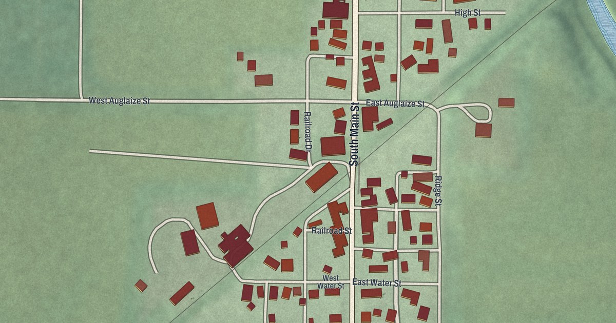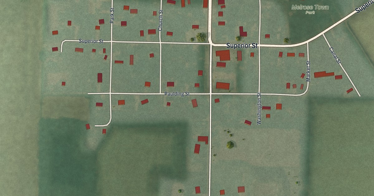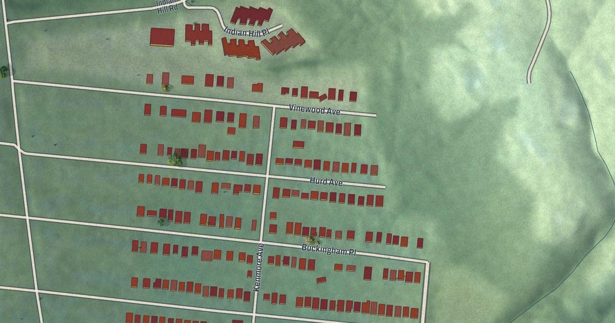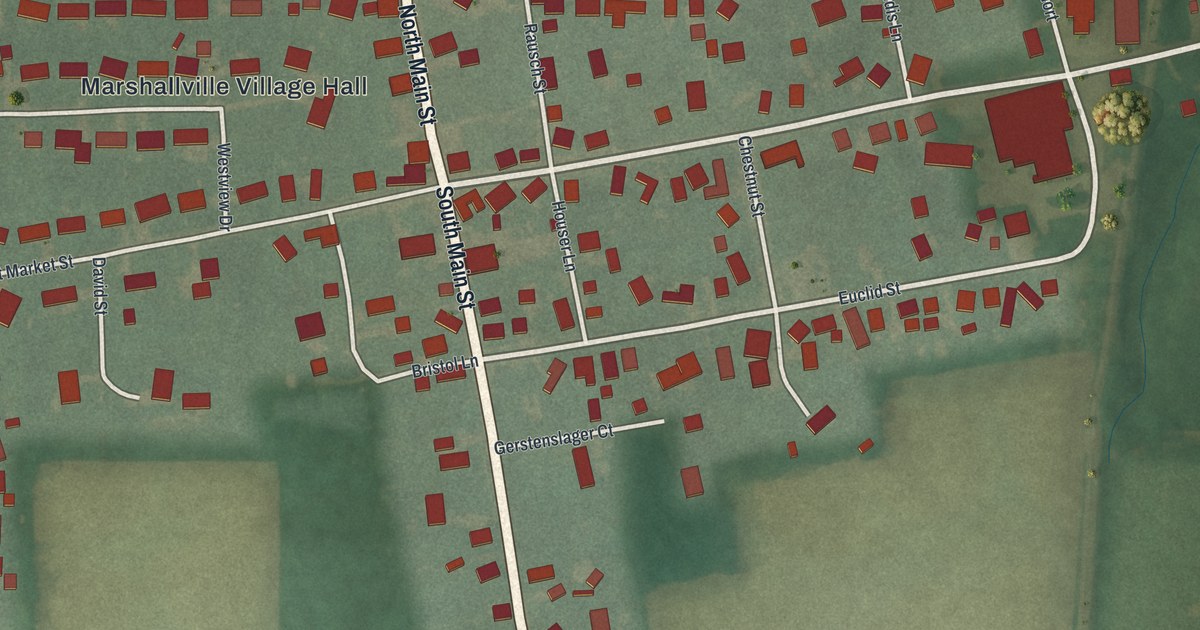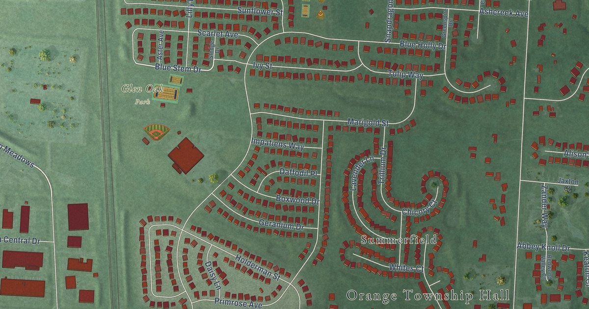
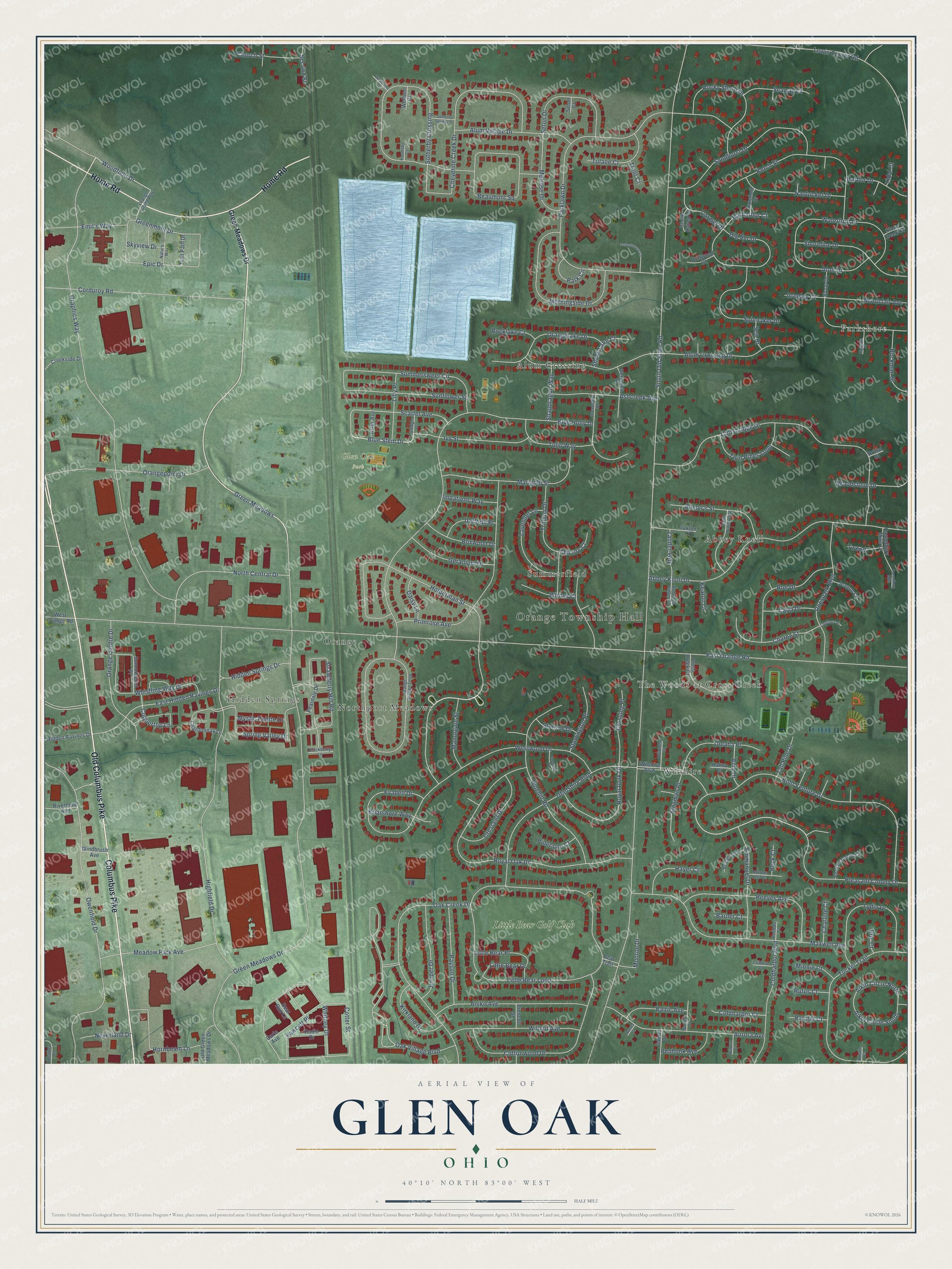
This beautifully detailed map of Glen Oak, Ohio was created in 2026 using aerial imagery combined with modern topographical, census, street and landmark data. It’s a one-of-a-kind view of Glen Oak that combines accurate data with a vintage aesthetic. The map shows every building in its true location, many of the roads carry their names, and the shaded topographic relief shows the shape of the land.
Explore an aerial view of Glen Oak, Ohio
On the map you’ll find Orange Township Hall, Glen Oak Park, Parkshore, Abbey Knoll, Hidden Springs, Alum Crossing, The Woods at Cross Creek, Orange, Wilshire, Summerfield, Northport Meadows, Little Bear Golf Club, and more. If you look closely you can even find your house accurately drawn in its correct location. Zoom in on the preview to look for yours.
Take a closer look at the Glen Oak map
Names on this map
These names are printed on this map.
Places: Orange Township Hall, Glen Oak Park, Parkshore, Abbey Knoll, Hidden Springs, Alum Crossing, The Woods at Cross Creek, Orange, Wilshire, Summerfield, Northport Meadows and Little Bear Golf Club.
Streets and roads: Columbus Pike, Old Columbus Pike, Home Road, Green Meadows Drive, Holderman Street, Green Meadows, Woodfield Drive, Blue Stem Drive, Pleasant Colony Drive, Oak Village Boulevard, Coppertop Lane, South Old State Road.
More street names, A to Z
Abbey Knoll Drive, Affirmed Court, Aikin Circle North, Aikin Circle South, Alison's Street, Alum Crossing Drive, Alum Village Drive, Aniko Avenue, Ashcreek Avenue, Aster Avenue, Atoll Drive, Aurora Avenue, Aurora Court, Azra Drive, Baltic Avenue, Barharbor Court, Barnet Court, Bear Run Lane, Bear Trail, Beaumont Square, Ben Brush Place, Big Sur Drive, Blackberry Lane, Blue Holly Drive, Bold Venture Drive, Boxwood Drive, Briarshore Way, Bridal Court, Buckman Street, Carla Drive, Carle Avenue, Carmel Drive, Casselbury Mills, Casselbury Mills Court, Chardonnay Lane, Charline Court, Charoe Street, Cheyenne Creek Drive, Chicory Court, Church Street, Clifford Court, Coldharbor Boulevard, Coldharbor Court, Coltsbridge Drive, Corduroy Road, Cotter Street, Cottonwood Drive, Courtney Place, Creekside Drive, Crescent Drive, Cross Creek Court, Crossing Place, Daffodil Place, Daisy Lane, Driftwood Court, Earldale Court, East Hidden Ravines Drive, East Orange Road, Emerald Place, Emil's Way, Emmanuel Drive, Epic Drive, Eric Court, Evadell Drive, Fawcett Place, Gainer Drive, Geranium Drive, Gladshire Boulevard, Graphics Way, Greeley Court, Greenmont Drive, Greenspire Drive, Haines Court, Halma Court, Harbor Drive, Hayer Court, Heather Lane, Hidden Ravines Drive, Hidden Springs Drive, Highfield Drive, Highgate Place, Hornbeam Lane, Impatiens Way, Ivy Street, Jaxton Court, Jeanne Court, Juniper Drive, Keaton Court, Ketch Street, Kingman Place, Kirkland Drive, Kormsby Court, Kristin Court, Lavender Lane, Lewis Center Road, Lilly Place, Little Bear Drive, Little Bear Loop, Little Bear Place, Lydia Drive, Manorgate Street, Marigold Street, Maxwell Avenue, Meadow Park Avenue, Melrose Drive, Minnie Court, Monroe Drive, Montclair Avenue, Morningside Drive, Mystic Pointe Drive, Nantucket Drive, Narrow Leaf Court, Nature Way, Neverland Drive, North Central Drive, Oak Creek Drive, Old Green Meadows Drive, Omaha Place, Orange Centre Drive, Orange Grand Way, Orangelake Drive, Orangepoint Drive, Orange Station Loop, Owenfield Drive, Park Circle, Parklawn Drive, Payson Drive, Peardale Drive, Peck Court, Penhook Avenue, Pinecone Court, Pinehill Road, Pleasant Colony Court, Prescott Street, Primrose Avenue, Radio Drive, Ratcliff Court, Redwood Valley Court, Reeves Avenue, Riverbend Avenue, Rocklake Court, Rocky Shore Drive, Roe Drive, Roespark Boulevard, Royal Oak Drive, Royal Park Drive, Rufus Court, Saint Ninian's Street, Sanabell Drive, Sandhurst Drive, Scarlet Avenue, Schoolhouse Lane, Sea Drive, Seaway Court, Second Street, Seton Court, Seton Drive, Shady Lake Court, Shoreline Drive, Skyview Drive, Sledge Drive, Sloop Drive, Snapdragon Way, Sotherby Crossing, Sotherby Springs Drive, Spinnaker Drive, Spring Valley Drive, Stony Creek Court, Storm Haven Court, Storrington Place, Storrow Drive, Strawberry Hill Road, Summersweet Circle, Summitpoint Place, Sunflower Street, Tall Pine Drive, Tidal Court, Trail Path Drive, Trent Court, Trillium Drive, Tucker Trail, Tulane Court, Tulip Way, Tweed, Twin Pines Loop, Veronica Place, Waterford Drive, Weatherby Drive, Wellson Court, West Orange Road, Westwood Drive, Whistling Way Drive, Whites Court, Whitney Drive, Wilhoit Avenue, Wilshire Boulevard, Windbrush Avenue, Woodstone Drive, Worley Drive, Zander Way.
See it on a wall
The Glen Oak map as a framed print. Swipe for more.


This beautifully detailed map of Glen Oak makes an attractive addition to your office, library, or den, and it can even be used to teach children the geography and history of the area. It also makes a great gift for anyone with Glen Oak roots. When you’re done exploring, click here to get your copy of the Glen Oak map.