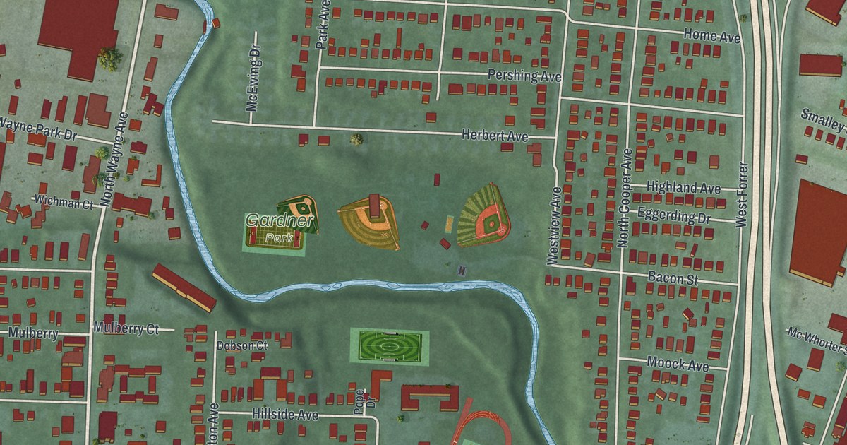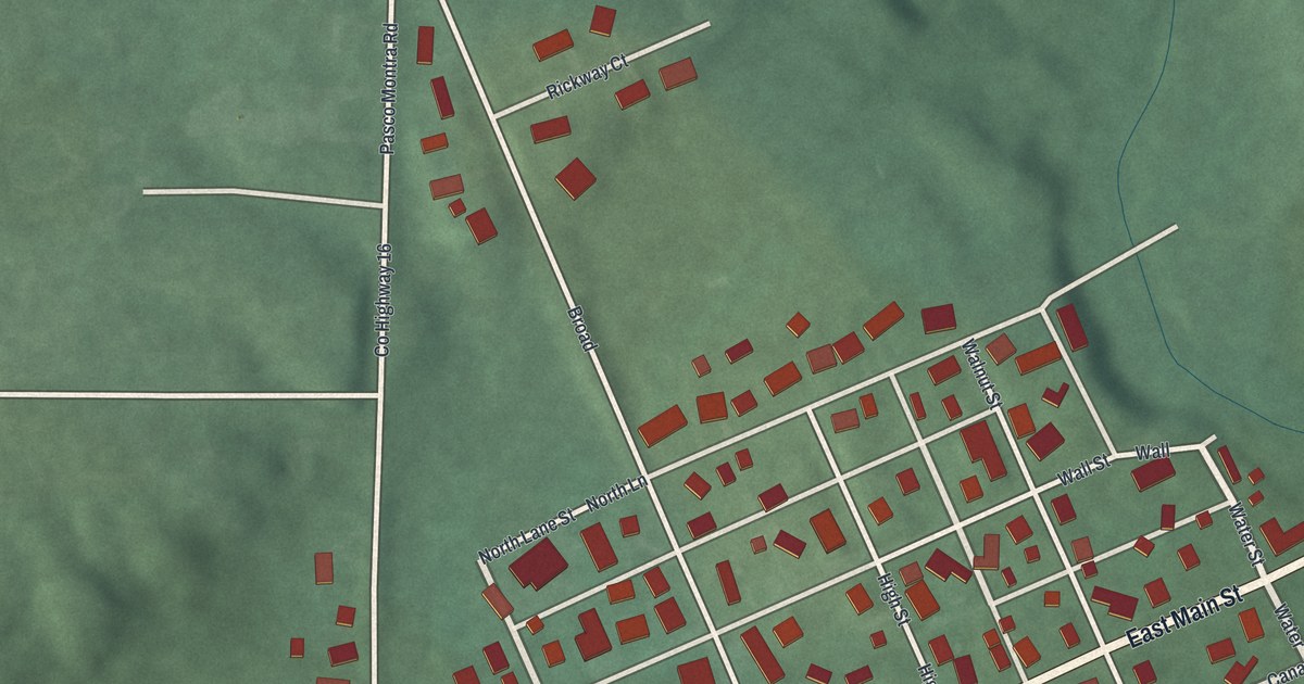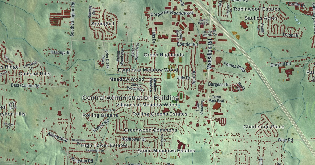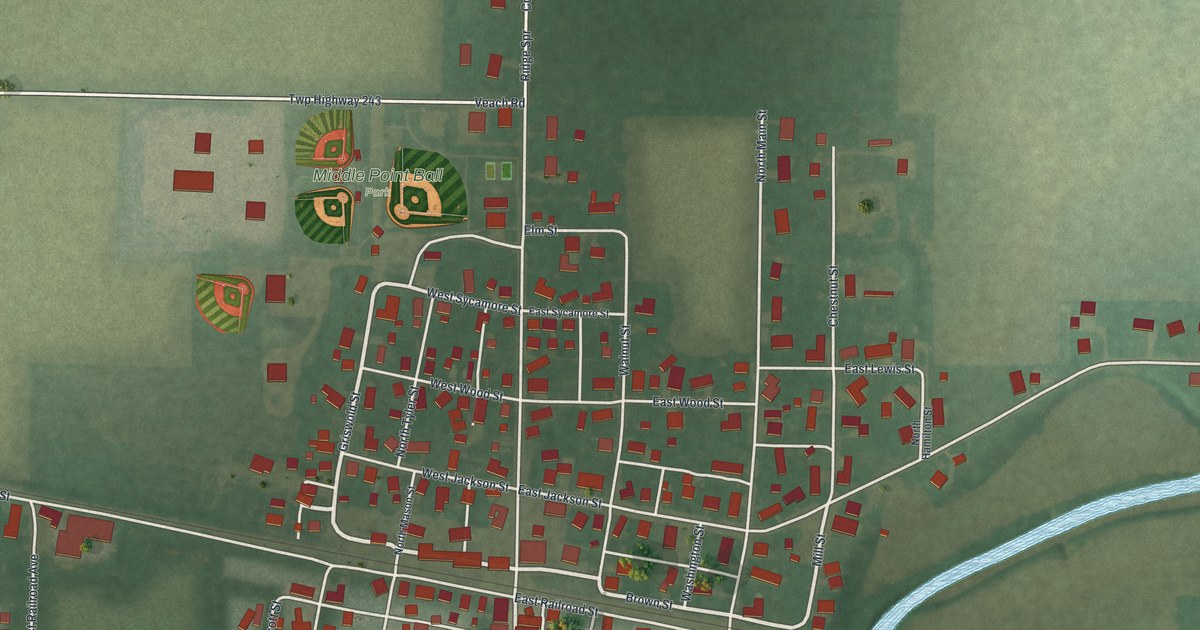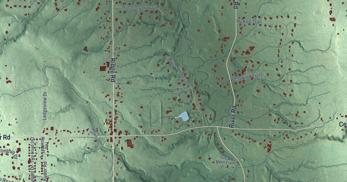
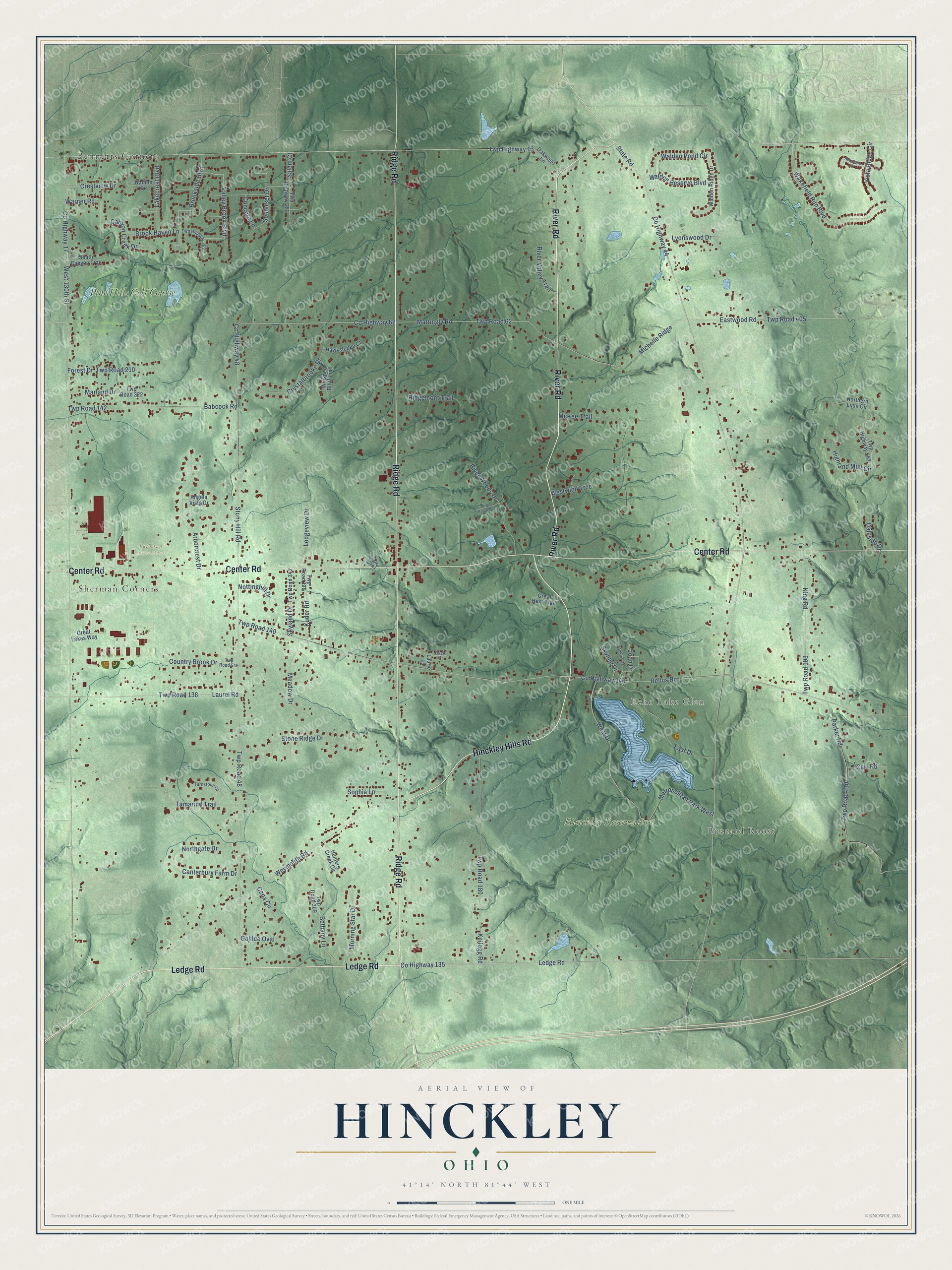
This beautifully detailed map of Hinckley, Ohio was created in 2026 using aerial imagery combined with modern topographical, census, street and landmark data. It’s a one-of-a-kind view of Hinckley that combines accurate data with a vintage aesthetic. The map shows every building in its true location, many of the roads carry their names, and the shaded topographic relief shows the shape of the land.
Explore an aerial view of Hinckley, Ohio
On the map you’ll find Buzzard Roost, Echo Lake Glen, Hinckley Reservation, Lutheran Memorial Park, Bennetts Corners, Sherman Corners, and Pine Hills Golf Course, along with Ridge Road, Ledge Road, Center Road, River Road, Hinckley Hills Road, and more. If you look closely you can even find your house accurately drawn in its correct location. Zoom in on the preview to look for yours.
Did You Know?
From Internet Archive: "As a young man he returned to his native state and learned the trade of moulder, and then returmng to Ohio established a foundry at Hinckley in Medina County."
Hinckley is a community in Medina County.
Take a closer look at the Hinckley map
Names on this map
These names are printed on this map.
Places: Buzzard Roost, Echo Lake Glen, Hinckley Reservation, Lutheran Memorial Park, Bennetts Corners, Sherman Corners and Pine Hills Golf Course.
Streets and roads: Ridge Road, Ledge Road, Center Road, River Road, Hinckley Hills Road, County Highway 135, Twp Highway 13, Valley Brook Boulevard, County Highway 48, County Highway 62, County Highway 44, State Road.
More street names, A to Z
Angela Vista Drive, Arborcrest Drive, Babcock Road, Bellus Road, Bethany Lane, Brook Haven Lane, Brookside Boulevard, Cana Circle, Canterbury Farm Drive, Canyon Creek Drive, Carr Road, Concord Lane, Country Brook Drive, County Highway 17, County Highway 140, Crestview Drive, Crystalbrooke Drive, Daleside Drive, David Drive, East Drive, Eastwood Road, Forest Drive, Galilee Oval, Great Hunt Trail, Great Lakes Way, Hawksledge Court, Heartland Circle, Highland Mist Circle, Hunters Creek Circle, Jacklin Drive, Joan Drive, Kellogg Road, King Road, Kuder Road, Lakecrest Boulevard, Laurel Road, Laurie Lane, Ledgeview Drive, Lyonswood Drive, Maple Hill Road, Marland Drive, Mattingly Road, McKee Trail, Meadow Drive, Metropolitan Park West, Michelle Ridge, Morning Star Drive, Nadine Circle, Northern Light Circle, Northgate Drive, Nottinghill Drive, Oakwood Lane, Parker Road, Ridgemont Trail, River Ridge Oval, River Valley Trail, River Woods Drive, Salem Court, Skyland Drive, Skyline Drive, Somerset Drive, Sophia Lane, South Canyon Trail, Stone Ridge Drive, Stony Hill Road, Tamarind Trail, Turnstone Court, Twp Highway 353, Twp Highway 362, Twp Highway 542, Twp Road 48, Twp Road 62, Twp Road 110, Twp Road 138, Twp Road 140, Twp Road 142, Twp Road 175, Twp Road 180, Twp Road 193, Twp Road 210, Twp Road 222, Twp Road 309, Twp Road 342, Twp Road 405, Twp Road 549, Vista Ridge Circle, Wakefield Run Boulevard, Walden Pond Circle, Walden Reserve Boulevard, Walden Ridge Drive, Warner Road, West 130th Street, West Drive, Westwind Trce, Weymouth Road, Whisper Bluff Trail.
See it on a wall
The Hinckley map as a framed print. Swipe for more.


This beautifully detailed map of Hinckley makes an attractive addition to your office, library, or den, and it can even be used to teach children the geography and history of the area. It also makes a great gift for someone who left Hinckley and still calls it home. When you’re done exploring, click here to get your copy of the Hinckley map.