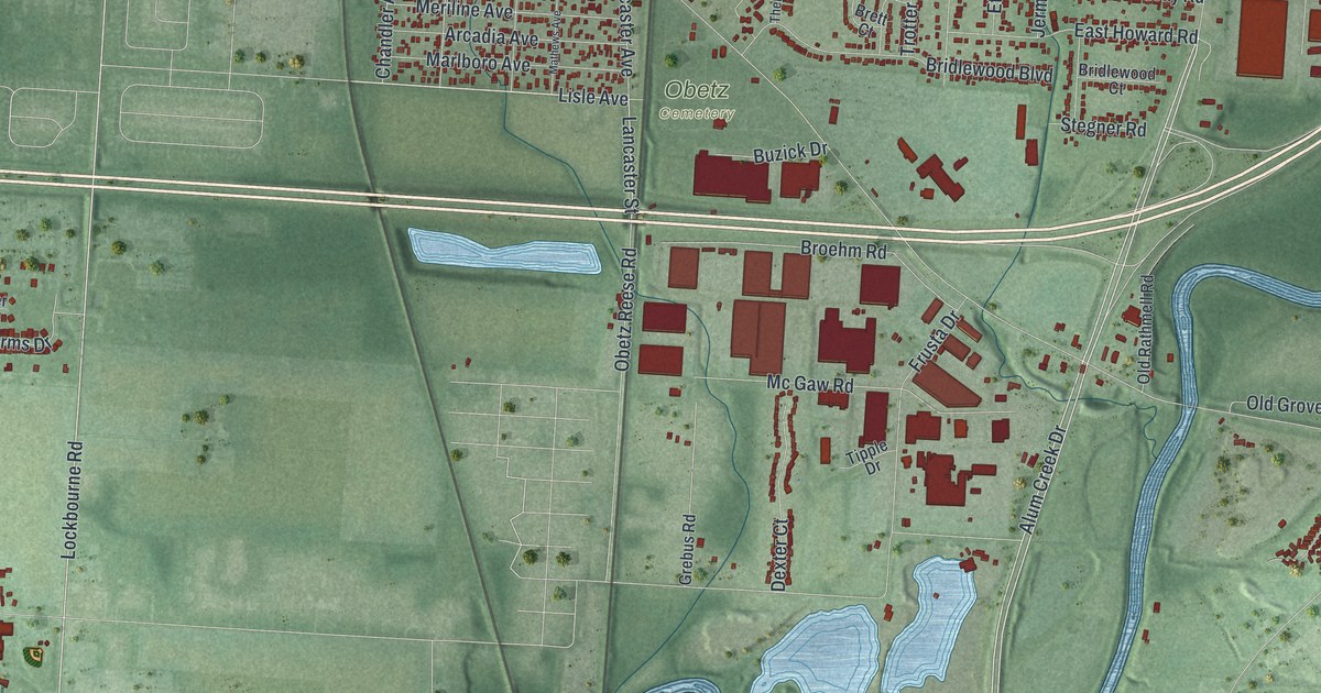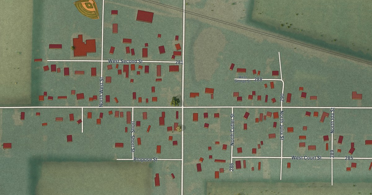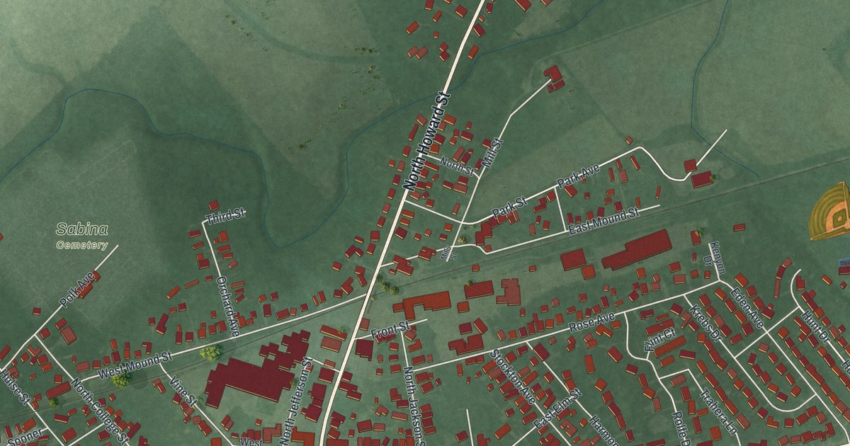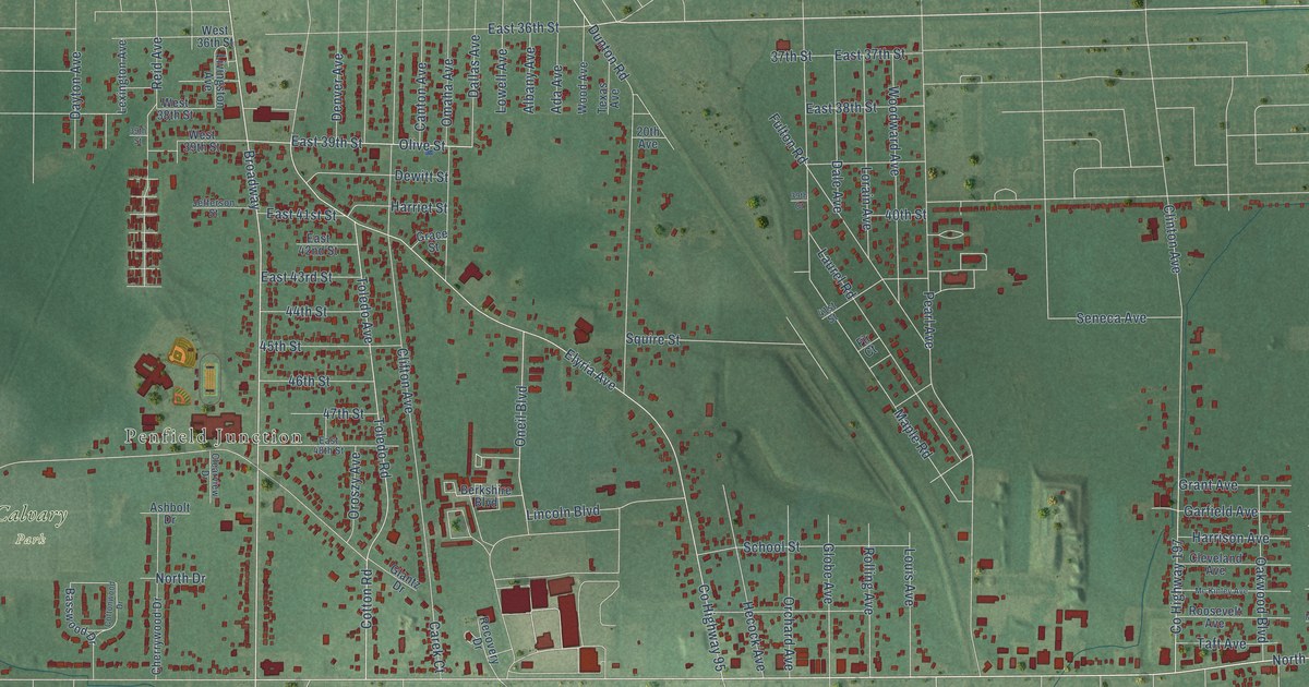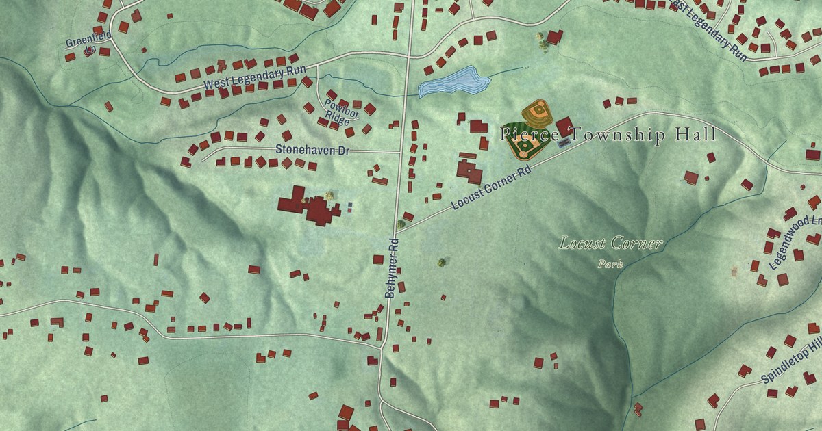
This beautifully detailed map of Locust Corner, Ohio was created in 2026 using aerial imagery combined with modern topographical, census, street and landmark data. It’s a one-of-a-kind view of Locust Corner that combines accurate data with a vintage aesthetic. The map shows every building in its true location, many of the roads carry their names, and the shaded topographic relief shows the shape of the land.
Explore an aerial view of Locust Corner, Ohio
On the map you’ll find Pierce Township Hall, Locust Corner Park, Ten-Mile Creek Nature Preserve, West Legendary Run, and East Legendary Run, along with Ten Mile Road, West Legendary Road, Behymer Road, Old Locust Hill Road, Grand Cypress Court, Locust Corner Road, Merwin 10 Mile Road, and more. If you look closely you can even find your house accurately drawn in its correct location. Zoom in on the preview to look for yours.
Did You Know?
From Internet Archive: "Lush began his education in Germany and after his parents brought him to Clermont county attended school for a time at Locust Corner."
Locust Corner is a community in Clermont County.
Take a closer look at the Locust Corner map
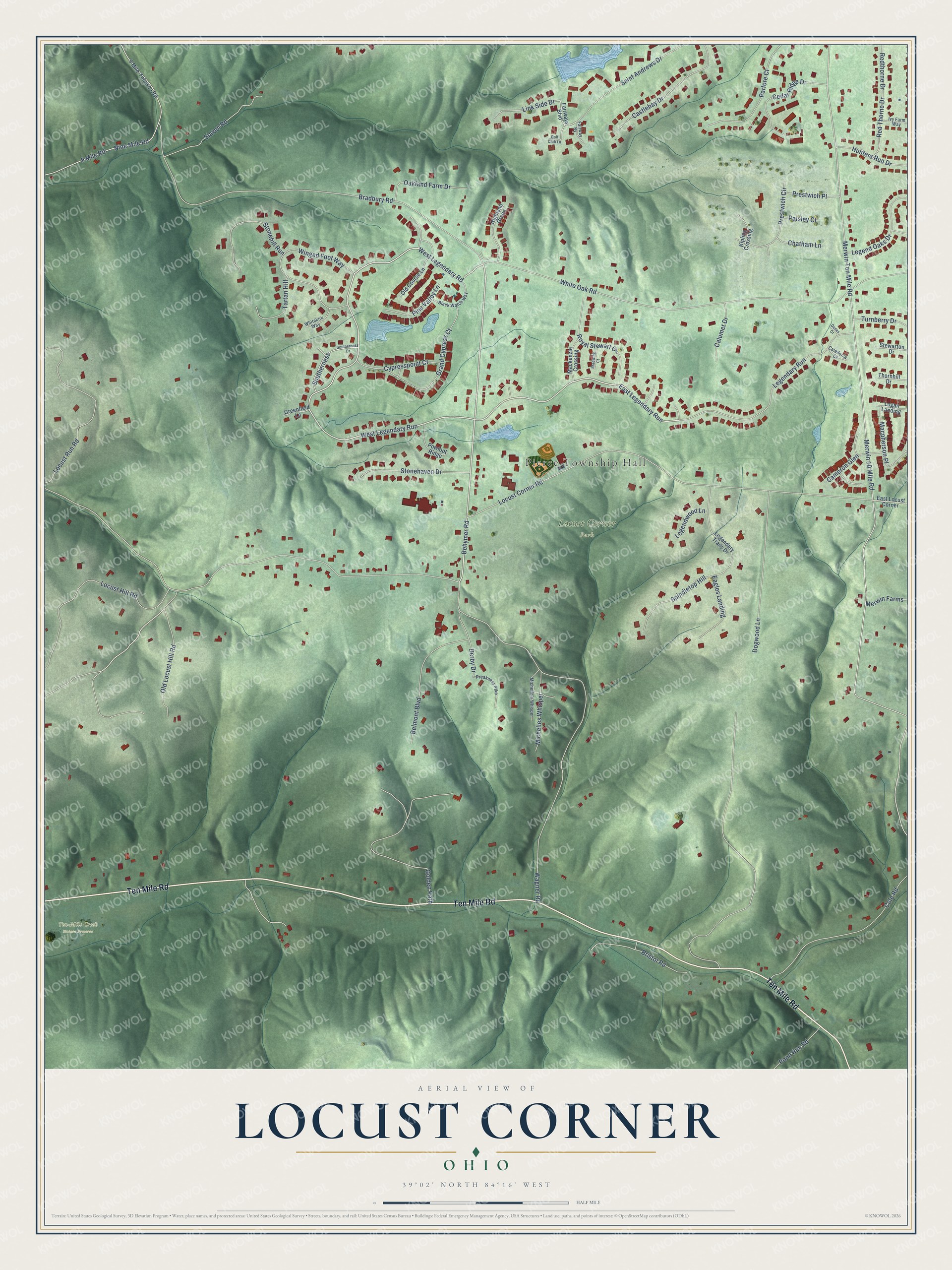
Names on this map
These names are printed on this map.
Places: Pierce Township Hall, Locust Corner Park and Ten-Mile Creek Nature Preserve.
Streets and roads: Ten Mile Road, West Legendary Road, West Legendary Run, Behymer Road, East Legendary Run, Old Locust Hill Road, Grand Cypress Court, Locust Corner Road, Merwin 10 Mile Road, Merwin Ten Mile Road, White Oak Road, Legendary Run.
More street names, A to Z
9 Mile-Tobasco Road, 9 Mile Road, Belmont Boulevard, Black Watch Way, Bradbury Road, Braewing Court, Bristol Road, Caledonia Court, Calumet Drive, Cameron Glen, Castlebay Drive, Cedar Ridge Drive, Chatham Lane, Cole Road, Cypresspoint Court, Derby Drive, Dogwood Lane, Dunes Court, Eagles Landing, East Locust Corner, Fairway Bv, Fairways Boulevard, Golden Path, Golf Club Lane, Greenfield Lane, Highland Green, Hunters Run Drive, Ivy Farm Way, Kipling Crossing, Legendary Trails Drive, Legend Oaks Drive, Legendwood Lane, Link Side Drive, Locust Hill Road, Locust Run Road, Logan Landing, Mackenzie Crossing, Macpherson Place, Merwin Farms, Michelle's Whisper, Michelles Whisper, Nine Mile Road, Oakland Farm Drive, Old Course Lane, Paisley Court, Parfore Court, Pine Valley Lane, Pond Run Road, Powfoot Ridge, Preakness Pike, Prestwich Circle, Prestwich Place, Red Thorne Drive, Redthorne Drive, Royal Stewart Court, Saint Andrews Drive, Slaven Road, Southerness, Southerness Drive, Spindletop Hill, Stewarton Drive, Stonehaven Drive, Stonehill Run, Tartan Hill, Thornhill Drive, Turnberry Drive, Wagner Road, Whitekirk Way, Winged Foot Way.
See it on a wall
The Locust Corner map as a framed print. Swipe for more.


This beautifully detailed map of Locust Corner makes an attractive addition to your office, library, or den, and it can even be used to teach children the geography and history of the area. It also makes a great gift for someone who left Locust Corner and still calls it home. When you’re done exploring, click here to get your copy of the Locust Corner map.