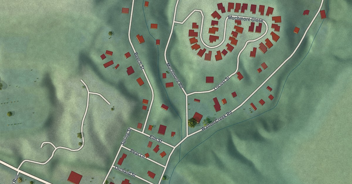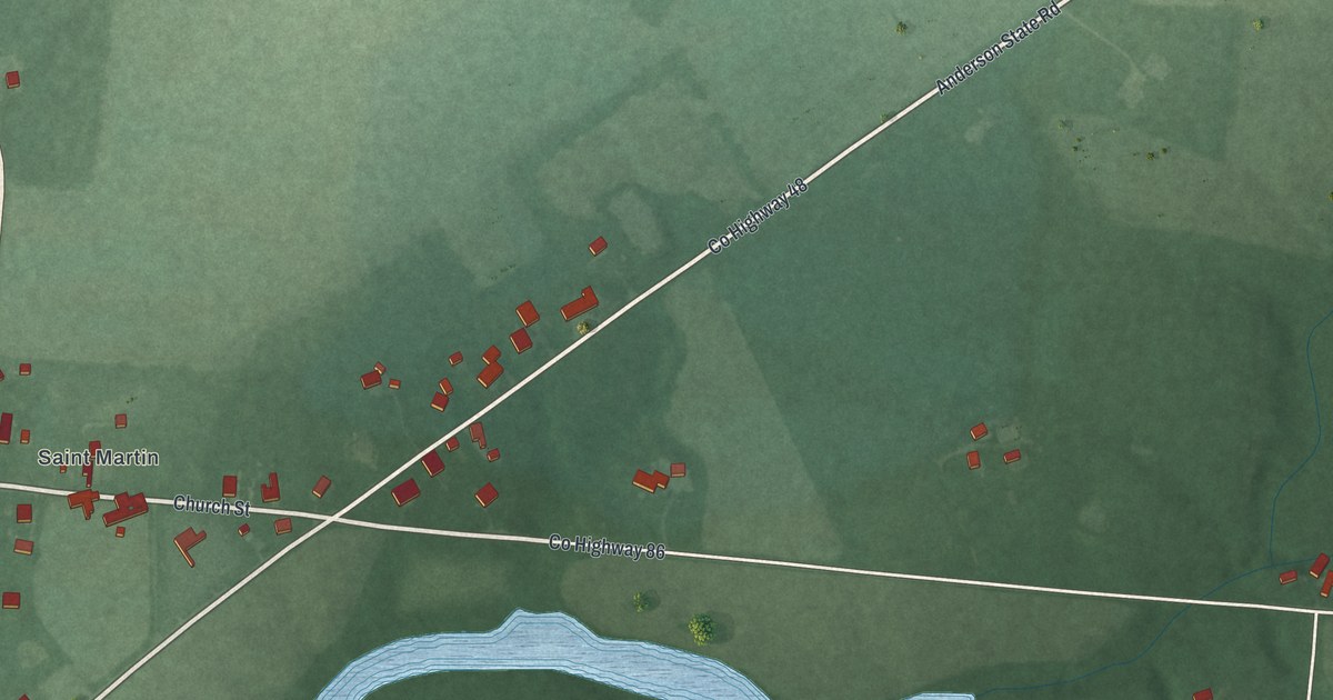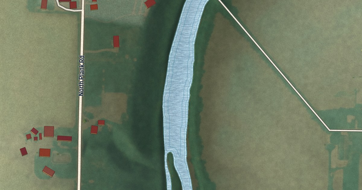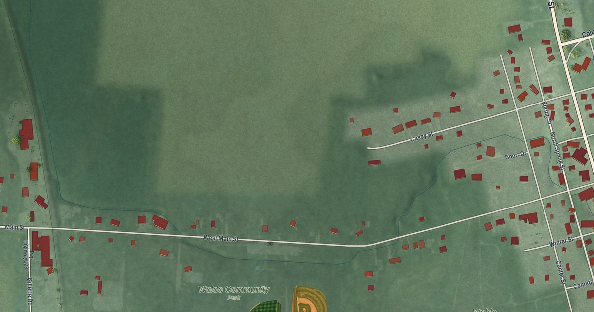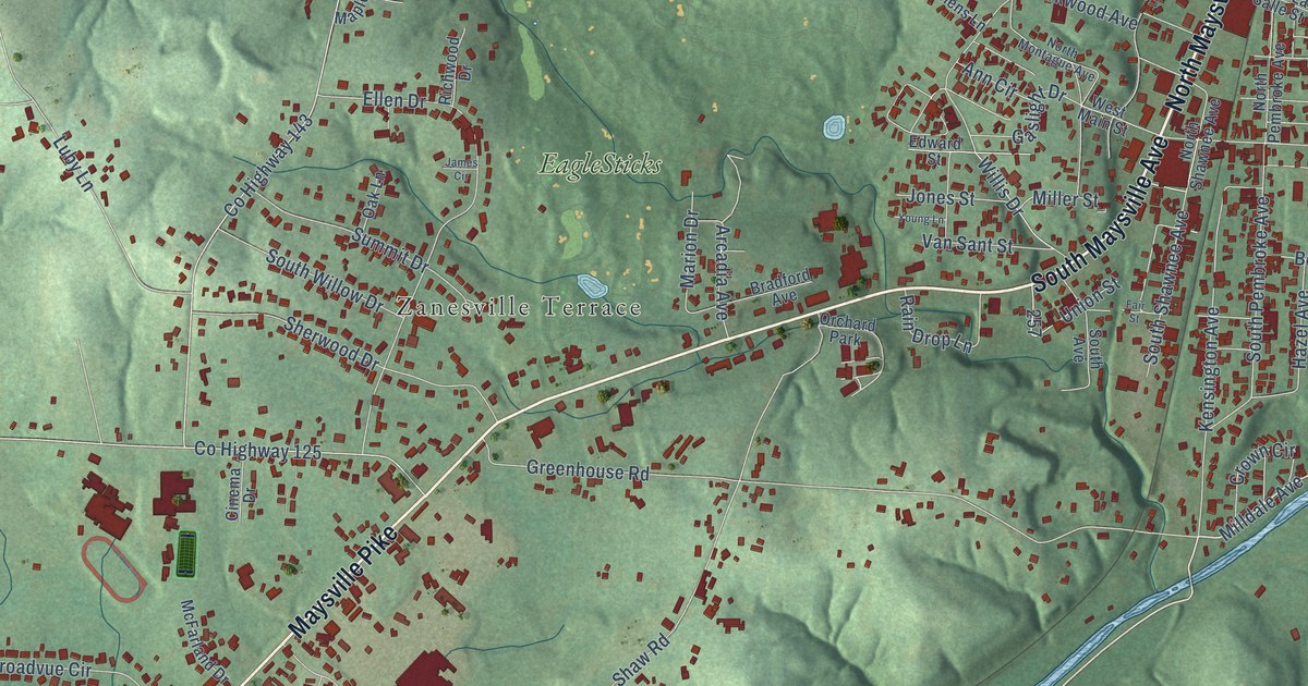
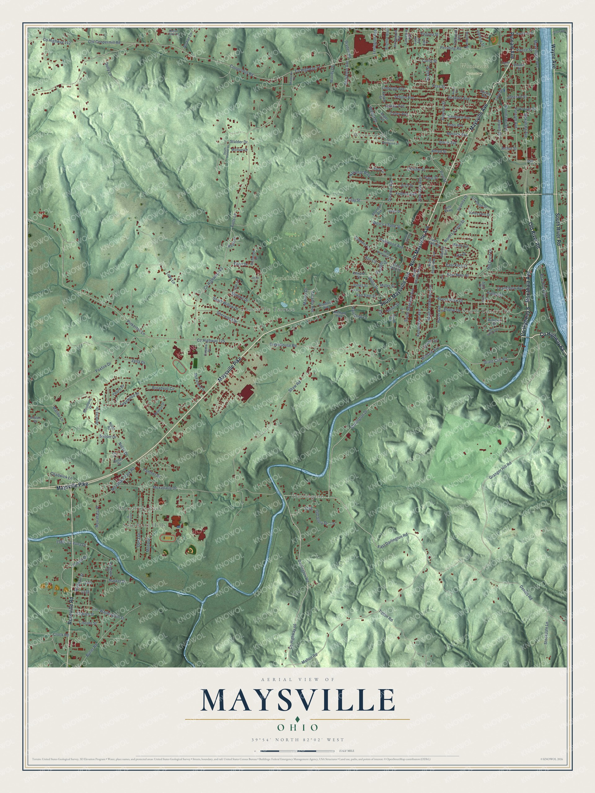
This beautifully detailed map of Maysville, Ohio was created in 2026 using aerial imagery combined with modern topographical, census, street and landmark data. It’s a one-of-a-kind view of Maysville that combines accurate data with a vintage aesthetic. The map shows every building in its true location, many of the roads carry their names, and the shaded topographic relief shows the shape of the land.
Explore an aerial view of Maysville, Ohio
On the map you’ll find Woodlawn Cemetery, Southern Hills, South Zanesville, Darlington, Westwood, Moxahala Park, and EagleSticks, along with Zanesville Terrace, Moxahala Avenue, County Highway 6, North Maysville Avenue, South Maysville Avenue, and more. If you look closely you can even find your house accurately drawn in its correct location. Zoom in on the preview to look for yours.
Did You Know?
From Internet Archive: "From that point, they passed down the OhioRiver and landed at Maysville, where they crossed over to the Ohio side and settled near the place above mentioned."
Maysville is a community in Muskingum County.
Take a closer look at the Maysville map
Names on this map
These names are printed on this map.
Places: Woodlawn Cemetery, Southern Hills, Zanesville Terrace, South Zanesville, Darlington, Westwood, Moxahala Park, EagleSticks and Orchard Park.
Streets and roads: Moxahala Avenue, County Highway 6, North Maysville Avenue, South Maysville Avenue, Maysville Pike, Old River Road, Maysville Avenue, Roseville Road, South River Road, Wayne Avenue, Putnam Avenue, Grant Cliff Road.
More street names, A to Z
Albert Drive, Alfred Street, Ann Circle, Arcadia Avenue, Archer Lane, Arch Street, Arthur Street, Avalon Drive, Beech Rock Drive, Benjamin Avenue, Boat Dock Road, Bradford Avenue, Brighton Boulevard, Broadvue Circle, Butler Road, Cabot Drive, Chadwick Lane, Charles Street, Chester Street, Cinema Drive, Clay Street, Cliffwood Avenue, Coopermill Road, County Highway 46, County Highway 71, County Highway 125, County Highway 142, County Highway 143, Crock Road, Crown Circle, Curtis Street, Darlington Drive, Darlington Road, Dennis Road, Dillon Road, Dolly Lane, Dona Drive, Dryden Road, East Darlington Road, East King Street, East La Salle Street, East Main Street, Echo Avenue, Edward Street, El Camino Drive, Ellen Drive, Elmore Street, Eppley Avenue, Fair Street, Federal Avenue, Fess Street, Foxfire Drive, Gaslight Drive, Gayla Drive, Grandview Avenue, Granger Hill Road, Greenhouse Road, Grove Avenue, Halley Drive, Harrison Street, Hazel Avenue, Hill Crest Drive, Homewood Avenue, Hoover Street, Indiana Street, James Circle, Jenkins Drive, Jewett Drive, Johnson Street, Jones Street, Juanita Drive, June Parkway, Kensington Avenue, Kimble Street, Lake Drive, Lakewood Drive, Lara Drive, Larzelere Avenue, La Vona Drive, Lexington Avenue, Linbergh Avenue, Lincoln Street, Linn Drive, Luby Lane, Luck Avenue, Madison Street, Mahon Road, Malibu Lane, Maple Drive, Marion Drive, Marion Oaks Lane, Market Street, Matthew Street, McFarland Drive, Merrick Avenue, Michael Drive, Middleton Drive, Milldale Avenue, Miller Street, Mona Drive, Moxadarla Drive, Moxahala Park Road, Moxahala Place, Muskingum Avenue, National Way, Newton Drive, New York Avenue, Nolan Drive, Nolan Road, North La Salle Street, North Linden Avenue, North Montague Avenue, North Pembroke Avenue, North Shawnee Avenue, Oak Lane, Old Coopermill Road, Old Glory Drive, Osceola Avenue, Panther Drive, Parkwood Avenue, Pershing Road, Pierce Street, Pine Street, Pinkerton Lane, Poplar Drive, Porter Drive, Potts Lane, Powell Drive, Race Circle, Race Street, Rain Drop Lane, Rains Circle, Richwood Drive, Roadayle Drive, Roper Avenue, Sally Drive, Sandra Drive, Seaborn Avenue, Seborn Avenue, Sevall Street, Shandon Avenue, Shaw Road, Sherwood Drive, Smithfield Avenue, South Avenue, South Pembroke Avenue, South Shawnee Avenue, South Stalder Drive, South Westwood Drive, South Willow Drive, Spence Avenue, Stalder Drive, Stanley Avenue, Stephens Lane, Stockdale Lane, Summit Drive, Sunset Drive, Superior Street, Talley Avenue, Thorn Drive, Tipton Road, Union Street, Valley Gem Drive, Van Sant Street, Virginia Street, Walnut Drive, Washington Street, Weller Avenue, West La Salle Street, West Main Street, West Overlook Drive, Williams Street, Willis Drive, Wilson Avenue, Woodland Drive, Woodlawn Avenue, Woody Lane, Young Lane, Zella Drive.
See it on a wall
The Maysville map as a framed print. Swipe for more.


This beautifully detailed map of Maysville makes an attractive addition to your office, library, or den, and it can even be used to teach children the geography and history of the area. It also makes a great gift for anyone with Maysville roots. When you’re done exploring, click here to get your copy of the Maysville map.