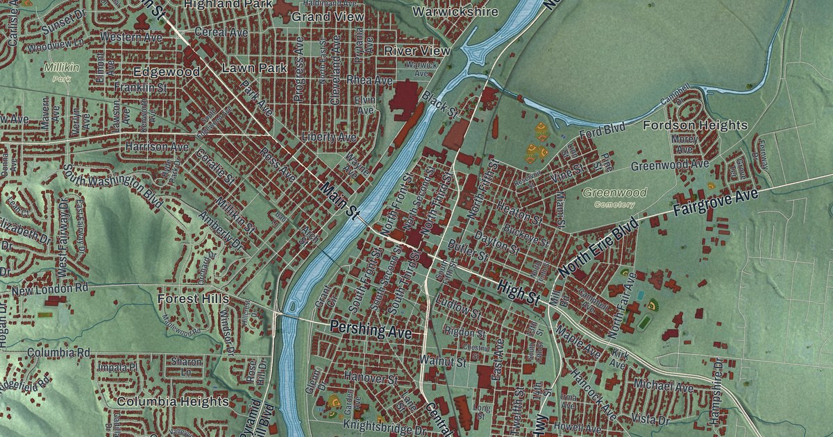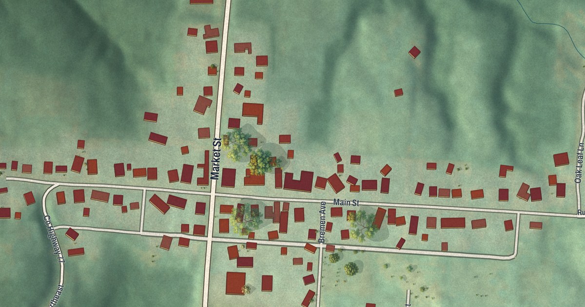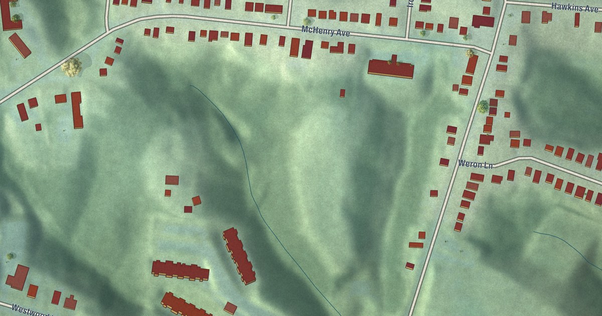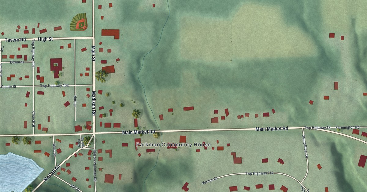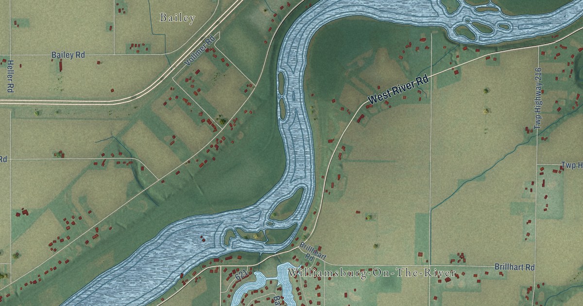
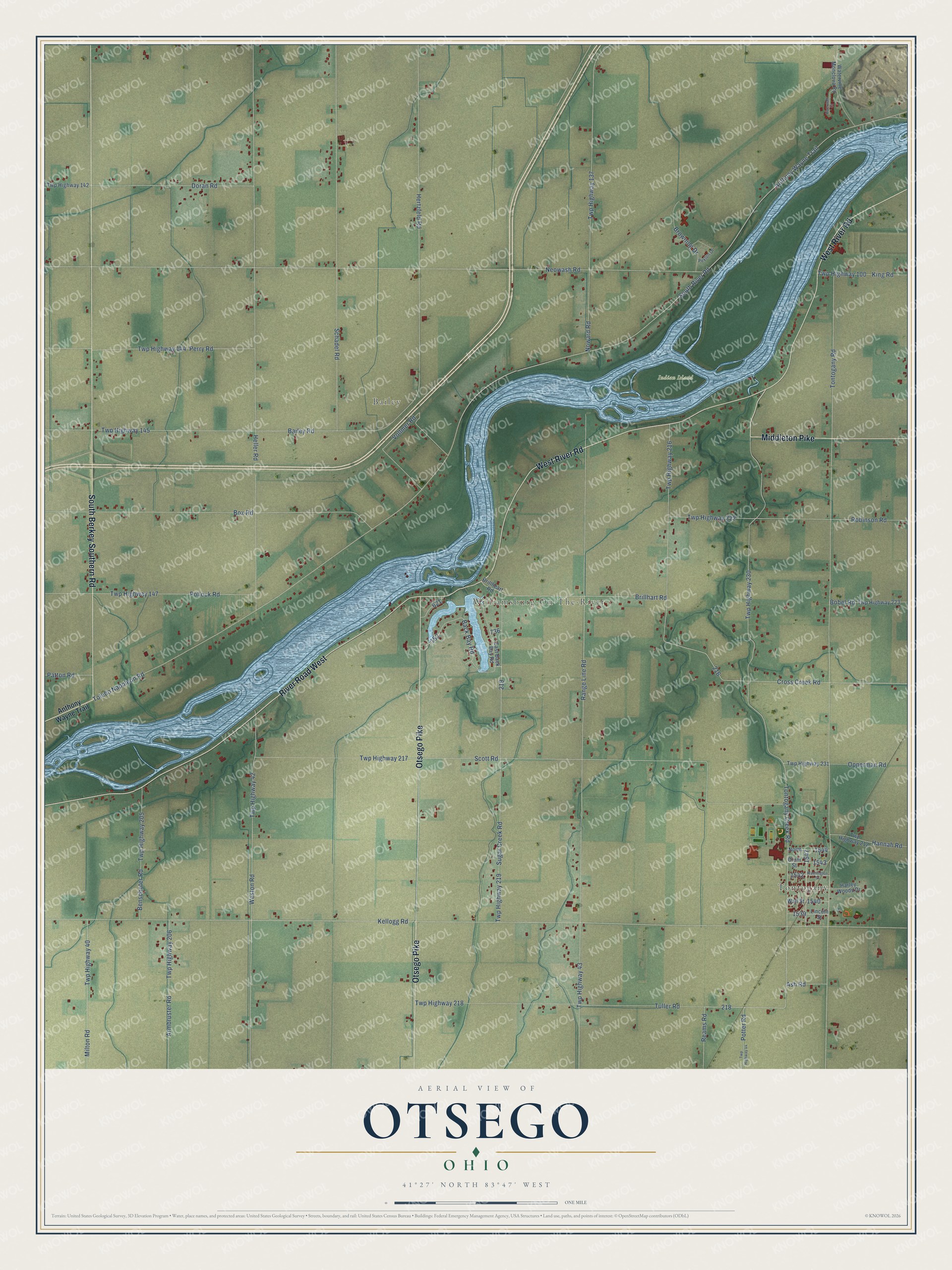
This beautifully detailed map of Otsego, Ohio was created in 2026 using aerial imagery combined with modern topographical, census, street and landmark data. It’s a one-of-a-kind view of Otsego that combines accurate data with a vintage aesthetic. The map shows every building in its true location, many of the roads carry their names, and the shaded topographic relief shows the shape of the land.
Explore an aerial view of Otsego, Ohio
On the map you’ll find Bailey, Williamsburg-On-The-River, Indian Island, and Tontogany, along with West River Road, South Berkey Southern Road, Otsego Pike, River Road West, Middleton Pike, Twp Highway 218, Vollmer Road, Anthony Wayne Trail, and more. If you look closely you can even find your house accurately drawn in its correct location. Zoom in on the preview to look for yours.
Did You Know?
From Internet Archive: "In the fall of 1823, when Trask Creesy was a lad of seventeen years, he came with his parents from Otsego county, New York, to Ashtabula county, Ohio, where he was among the first settlers."
Otsego is a community in Wood County.
Take a closer look at the Otsego map
Names on this map
These names are printed on this map.
Places: Bailey, Williamsburg-On-The-River, Indian Island and Tontogany.
Streets and roads: West River Road, South Berkey Southern Road, Otsego Pike, River Road West, Middleton Pike, Twp Highway 218, Vollmer Road, Anthony Wayne Trail, Toledo Napoleon Road, Kellogg Road, Tontogany Road, South River Road.
More street names, A to Z
Armbruster Road, Ash Road, Back Bay Road, Bailey Road, Benschoter Road, Bobel Road, Box Road, Brillhart Road, Brillheart Road, Browning Drive, Crom Street, Cross Creek Road, Doran Road, East Back Bay Road, Hannah Road, Harley Woods Drive, Heller Road, Hertzfeld Road, King Road, Lincoln Street, Milton Road, Neowash Road, North, Noward Road, Opperman Road, Patton Road, Perry Road, Peyton Drive, Pollock Road, Potter Road, Range Line Road, Reams Road, Riverwalk Court, Robinson Road, Schadel Road, Scott Road, Sugar Creek Road, Tontogany Creek Road, Tuller Road, Twp Highway 40, Twp Highway 42, Twp Highway 43, Twp Highway 44, Twp Highway 100, Twp Highway 137, Twp Highway 142, Twp Highway 144, Twp Highway 145, Twp Highway 147, Twp Highway 205, Twp Highway 206, Twp Highway 212, Twp Highway 216, Twp Highway 217, Twp Highway 219, Twp Highway 222, Twp Highway 223, Twp Highway 230, Twp Highway 231, Wall Street, Washington Street, Waterville Monclova Road, Weston Road.
See it on a wall
The Otsego map as a framed print. Swipe for more.


This beautifully detailed map of Otsego makes an attractive addition to your office, library, or den, and it can even be used to teach children the geography and history of the area. It also makes a great gift for someone who left Otsego and still calls it home. When you’re done exploring, click here to get your copy of the Otsego map.