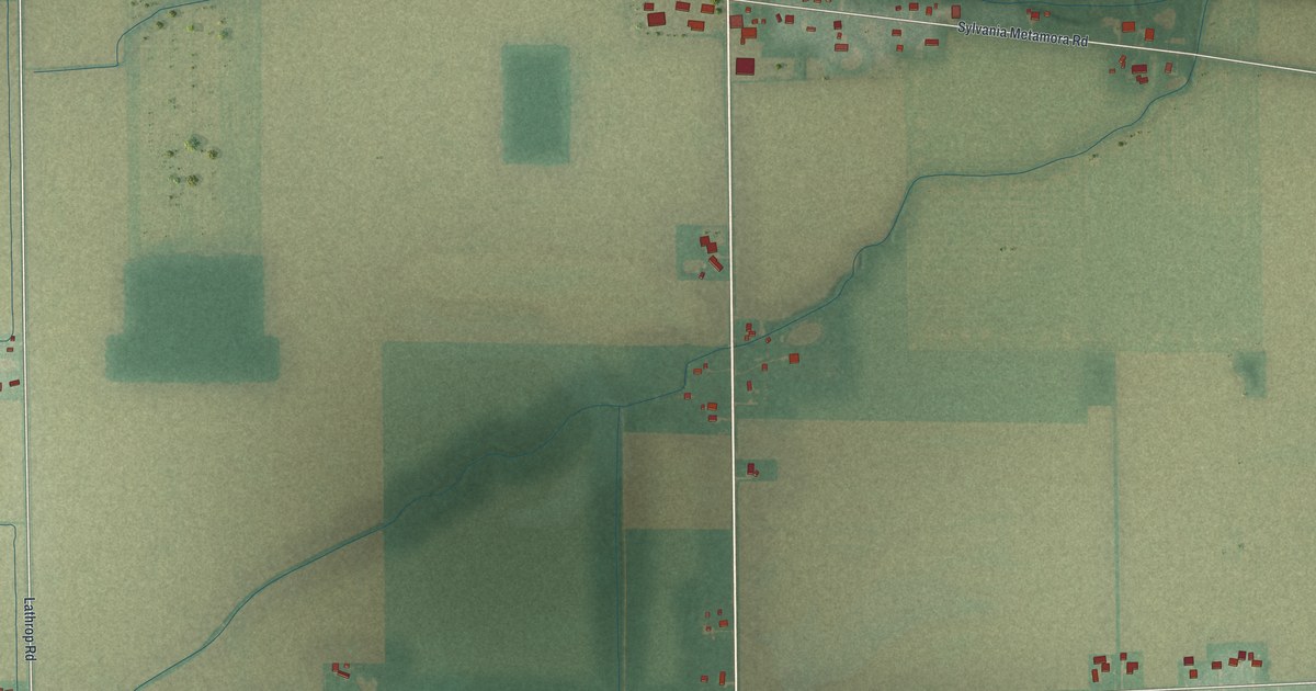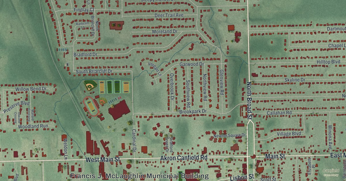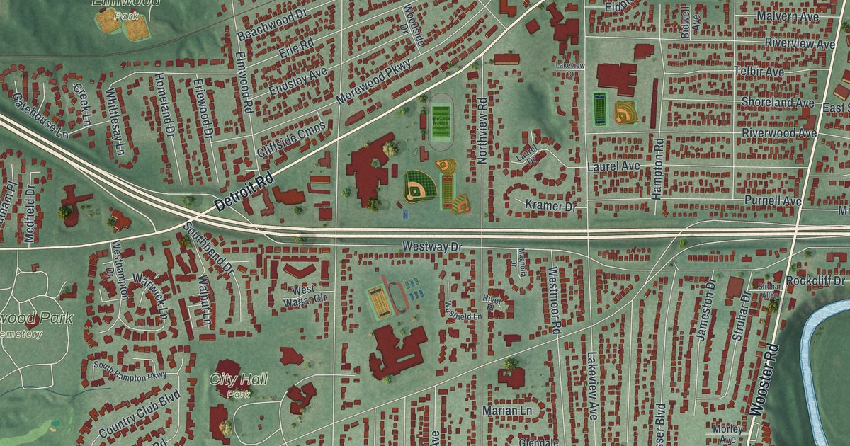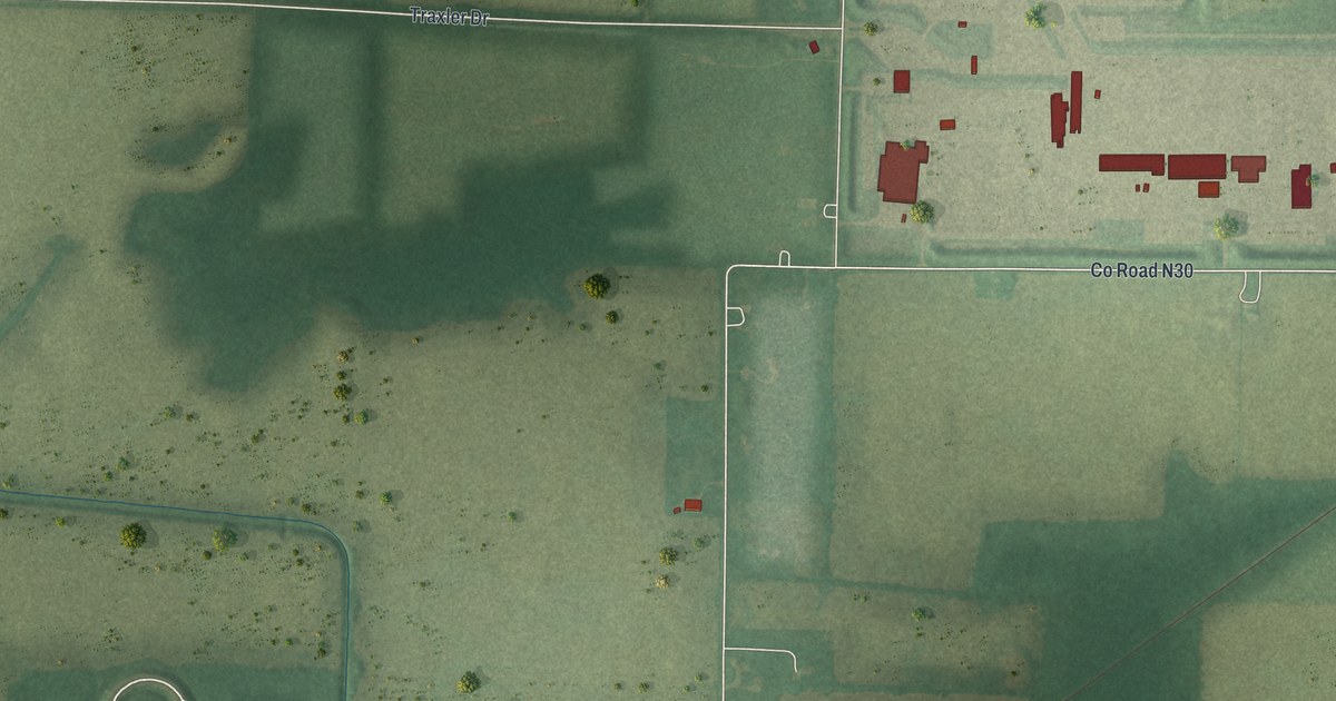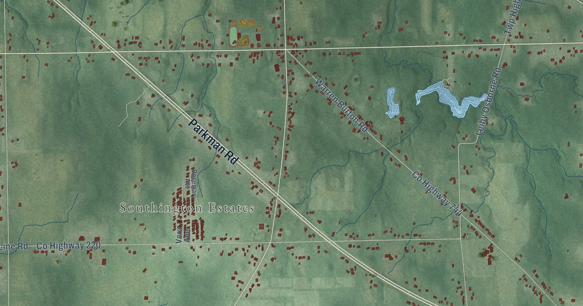
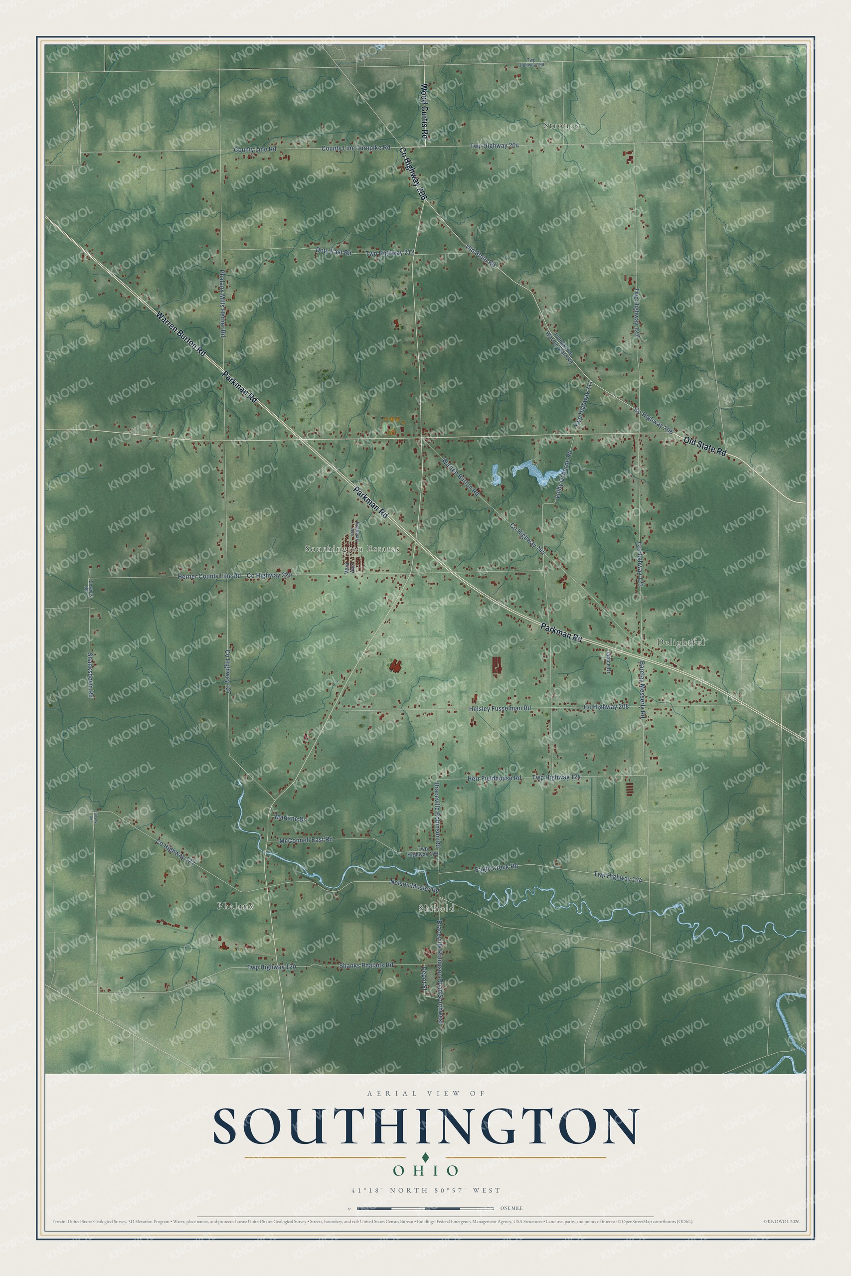
This beautifully detailed map of Southington, Ohio was created in 2026 using aerial imagery combined with modern topographical, census, street and landmark data. It’s a one-of-a-kind view of Southington that combines accurate data with a vintage aesthetic. The map shows every building in its true location, many of the roads carry their names, and the shaded topographic relief shows the shape of the land.
Explore an aerial view of Southington, Ohio
On the map you’ll find Stroups, Phalanx, Shihold, Delightful, and Southington Estates, along with Old State Road, County Highway 206, Parkman Road, Warren Burton Road, Wood Curtis Road, Shanksdown Road, Braceville Robinson Road, and more. If you look closely you can even find your house accurately drawn in its correct location. Zoom in on the preview to look for yours.
Did You Know?
From Internet Archive: "Mr. and Mrs. -Stephen Crawford came to Ohio in 1819, residing at Southington for eight years, thence moved to Farmington for one year, and finally settled in Nelson Township."
Southington is a community in Trumbull County.
Take a closer look at the Southington map
Names on this map
These names are printed on this map.
Places: Stroups, Phalanx, Shihold, Delightful and Southington Estates.
Streets and roads: Old State Road, County Highway 206, Parkman Road, Warren Burton Road, Wood Curtis Road, Shanksdown Road, Braceville Robinson Road, Twp Highway 134, County Line Road, Barclay Messerly Road, County Highway 127, Phalanx Mills Herner Road.
More street names, A to Z
Braceville Robinson Road Southwest, County Highway 122, County Highway 123, County Highway 208, County Highway 220, County Highway 744, County Line Turnpike Road, Depot Street, Doty East Road, Downes Road, Eagle Creek Road, Helsley Fusselman Road, Herner County Line Road, Herr Fieldhouse Road, Janice Drive, Leiby Osborne Road, Marlane Drive, McConnell East Road, Nelson Mosier Road, Painesville Warren State Road, Rosemary Avenue, Shank Road, Shanks Phalanx Road, Twp Highway 120, Twp Highway 123, Twp Highway 124, Twp Highway 126, Twp Highway 198, Twp Highway 204, Twp Highway 211, Twp Highway 212, Vera Avenue.
See it on a wall
The Southington map as a framed print. Swipe for more.


This beautifully detailed map of Southington makes an attractive addition to your office, library, or den, and it can even be used to teach children the geography and history of the area. It also makes a great gift for anyone with Southington roots. When you’re done exploring, click here to get your copy of the Southington map.