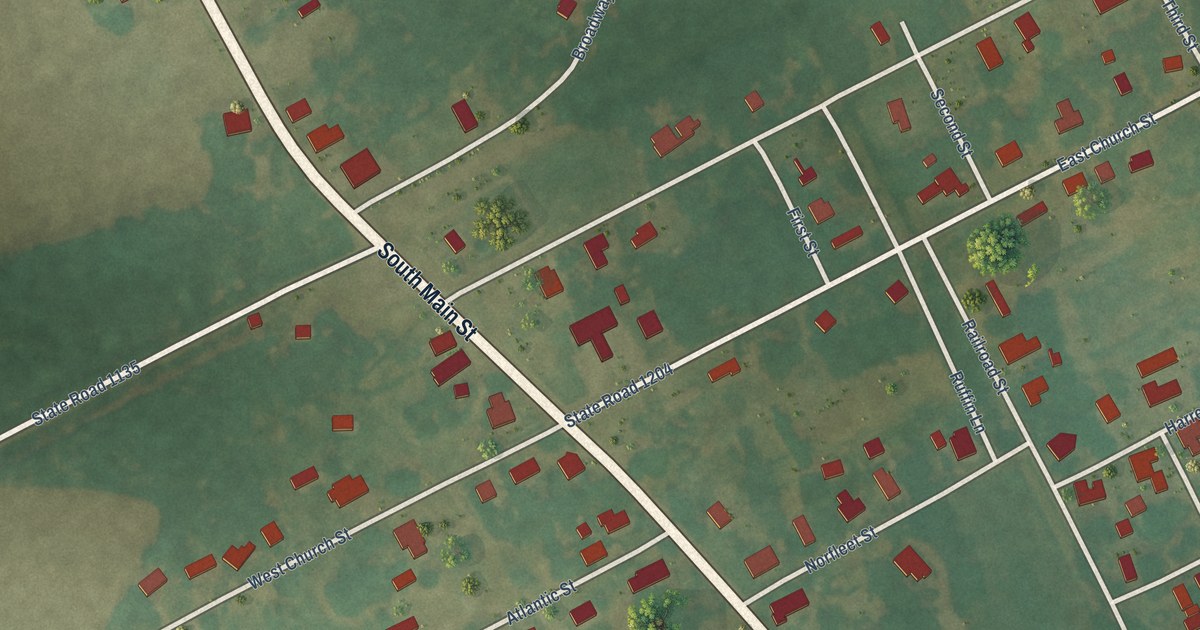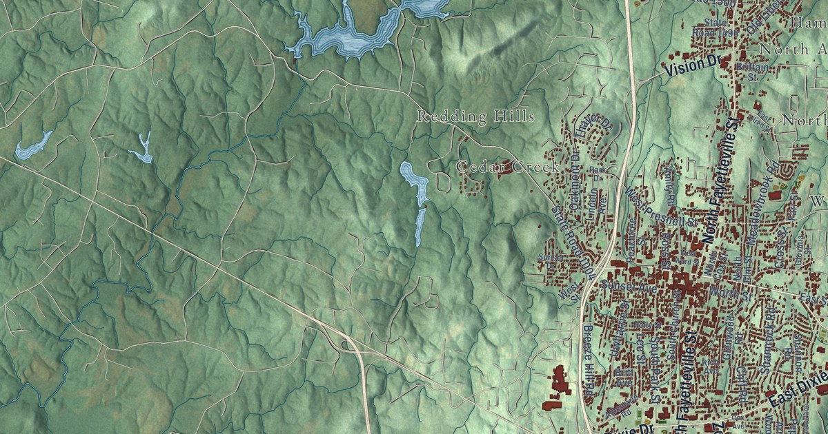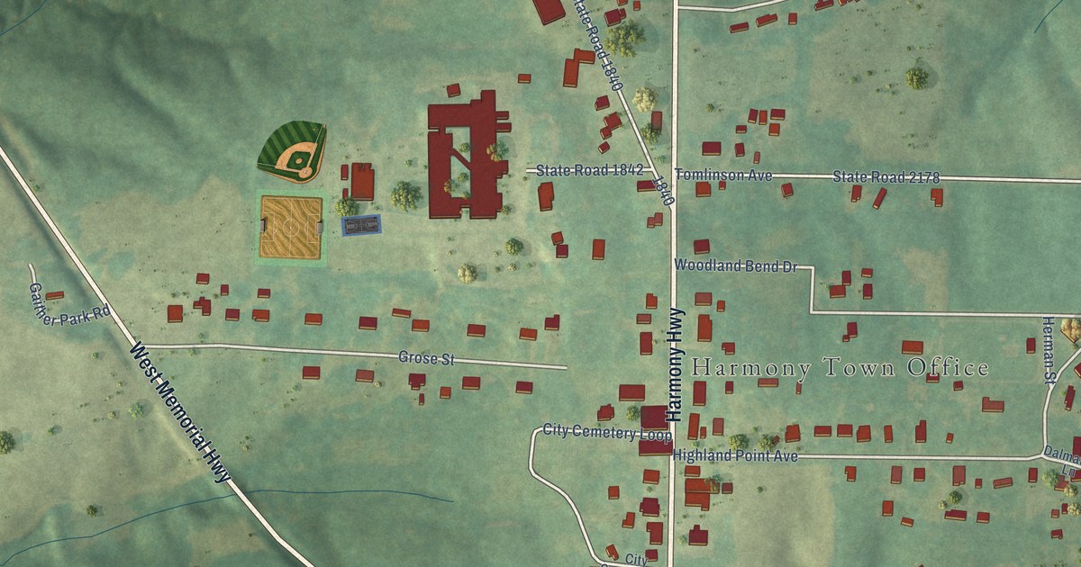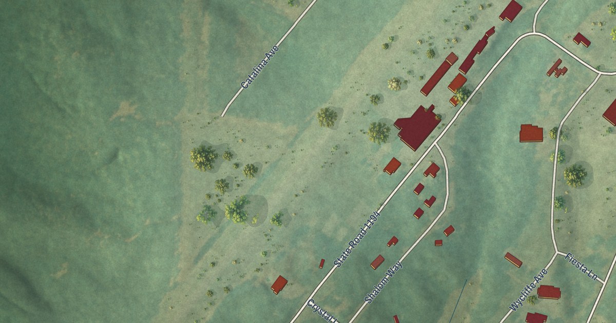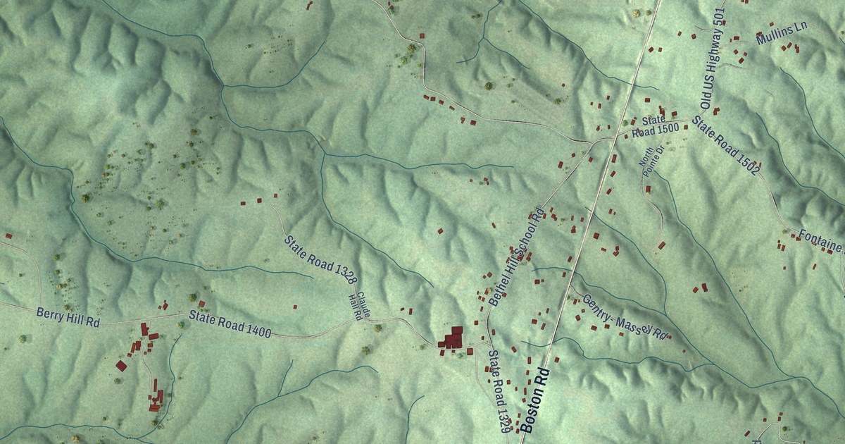
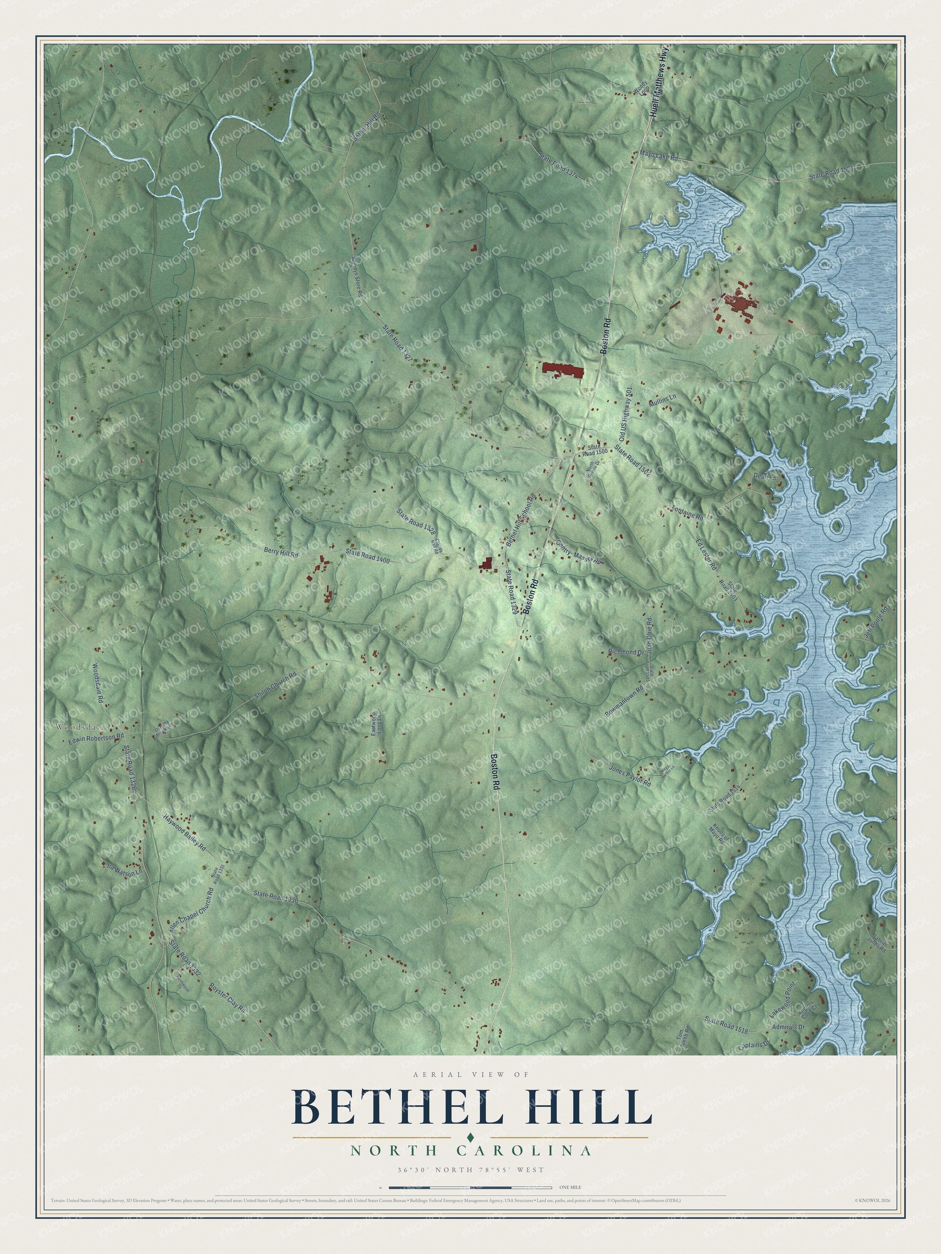
This beautifully detailed map of Bethel Hill, North Carolina was created in 2026 using aerial imagery combined with modern topographical, census, street and landmark data. It’s a one-of-a-kind view of Bethel Hill that combines accurate data with a vintage aesthetic. The map shows every building in its true location, many of the roads carry their names, and the shaded topographic relief shows the shape of the land.
Explore an aerial view of Bethel Hill, North Carolina
On the map you’ll find Woodsdale, along with Huell Matthews Highway, Boston Road, Woodsdale Road, State Road 1326, State Road 1327, Haywood Bailey Road, State Road 1330, Bowmantown Road, Shiloh Church Road, Berry Hill Road, State Road 1400, and more. If you look closely you can even find your house accurately drawn in its correct location. Zoom in on the preview to look for yours.
Did You Know?
From Internet Archive: "The October 14, 1996 meeting was hosted by Bethel Hill Baptist Church; the April 14, 1997 meeting hosted by Clear Creek Baptist Church; and the July 14 meeting was hosted by Tellico Baptist Church."
Bethel Hill is a community in Person County.
Take a closer look at the Bethel Hill map
Names on this map
These names are printed on this map.
Places: Woodsdale.
Streets and roads: Huell Matthews Highway, Boston Road, Woodsdale Road, State Road 1326, State Road 1327, Haywood Bailey Road, State Road 1330, Bowmantown Road, Shiloh Church Road, Berry Hill Road, State Road 1400, Mayo Lake Road.
More street names, A to Z
Admirals Drive, Allen Chapel Church Road, Anglers Cove Court, Bethel Hill Road, Bethel Hill School Road, Captains Drive, Claude Hall Road, Dean Lane, Dorothy Brooks Lane, Eastwood Long Lane, Ed Lester Road, Edwin Robertson Road, Fontaine Road, Gabriel Jones Road, Gentry- Massey Road, Ira Watson Lane, Jeff Poole Road, John Obie Road, Jones Paylor Road, Knolls of Mayo Road, Lakewood Point, Mayo Harbor Lane, Mullins Lane, North Pointe Drive, Northwood Court, Old US Highway 501, Richmond Drive, Royster Clay Road, State Road 1328, State Road 1329, State Road 1331, State Road 1332, State Road 1374, State Road 1500, State Road 1501, State Road 1502, State Road 1503, State Road 1514, State Road 1518, State Road 1585, Tom Webb Road, Woody Loop, Woodys Store Road.
See it on a wall
The Bethel Hill map as a framed print. Swipe for more.


This beautifully detailed map of Bethel Hill makes an attractive addition to your office, library, or den, and it can even be used to teach children the geography and history of the area. It also makes a great gift for anyone with Bethel Hill roots. When you’re done exploring, click here to get your copy of the Bethel Hill map.