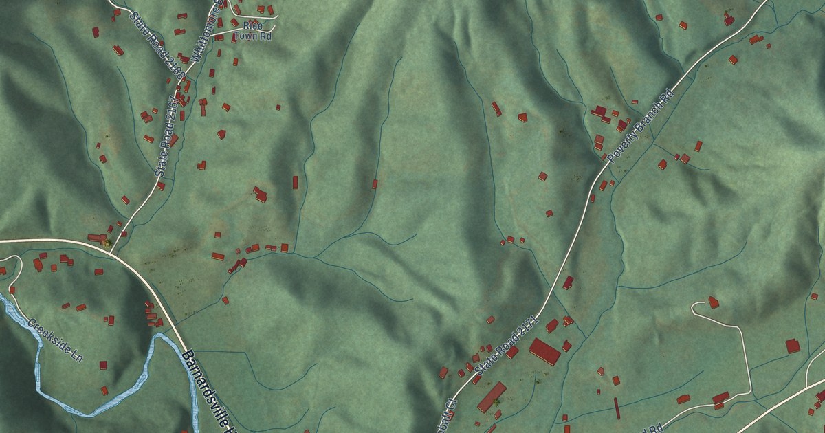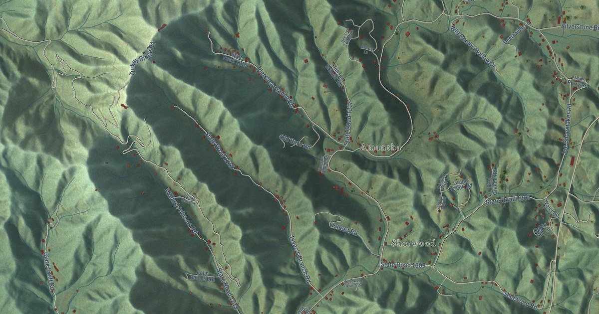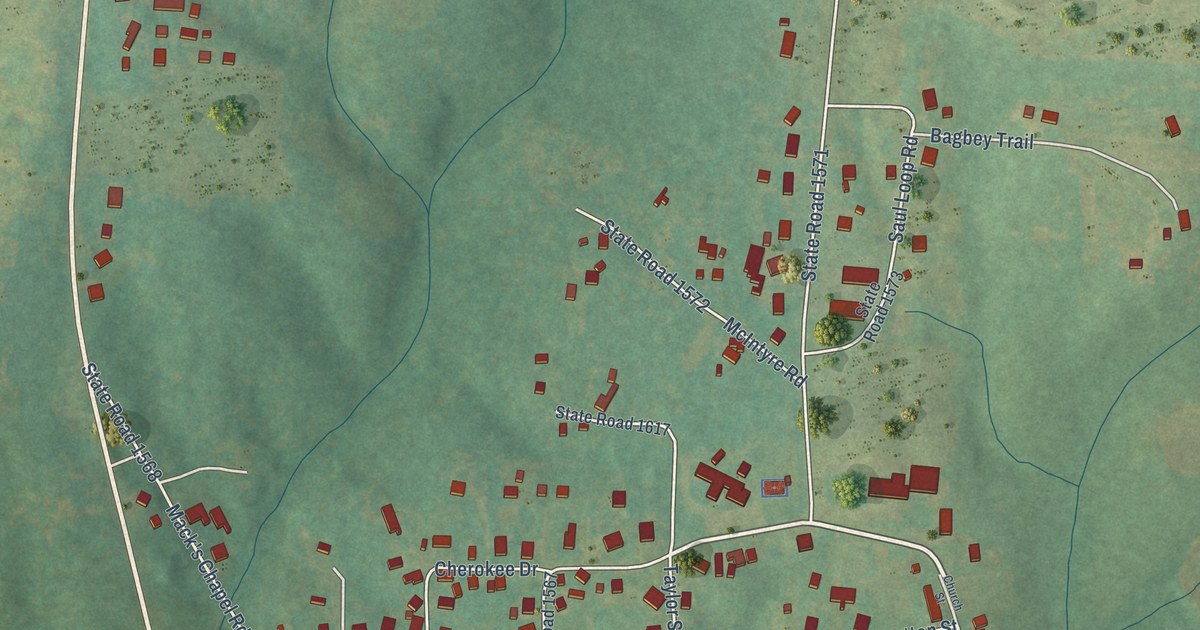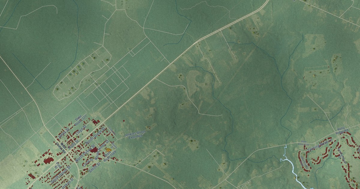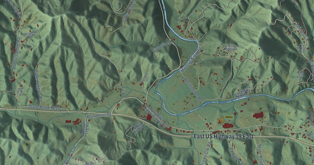
This beautifully detailed map of Cane River, North Carolina was created in 2026 using aerial imagery combined with modern topographical, census, street and landmark data. It’s a one-of-a-kind view of Cane River that combines accurate data with a vintage aesthetic. The map shows every building in its true location, many of the roads carry their names, and the shaded topographic relief shows the shape of the land.
Explore an aerial view of Cane River, North Carolina
On the map you’ll find Possumtrot, Elk Shoal, Bald Creek, Cane, East US Highway 19 East, and Banks Creek, along with State Road 1136, Prices Creek Road, McKinney Road, Banks Creek Road, Prices Crk Road, State Road 1128, and more. If you look closely you can even find your house accurately drawn in its correct location. Zoom in on the preview to look for yours.
Take a closer look at the Cane River map
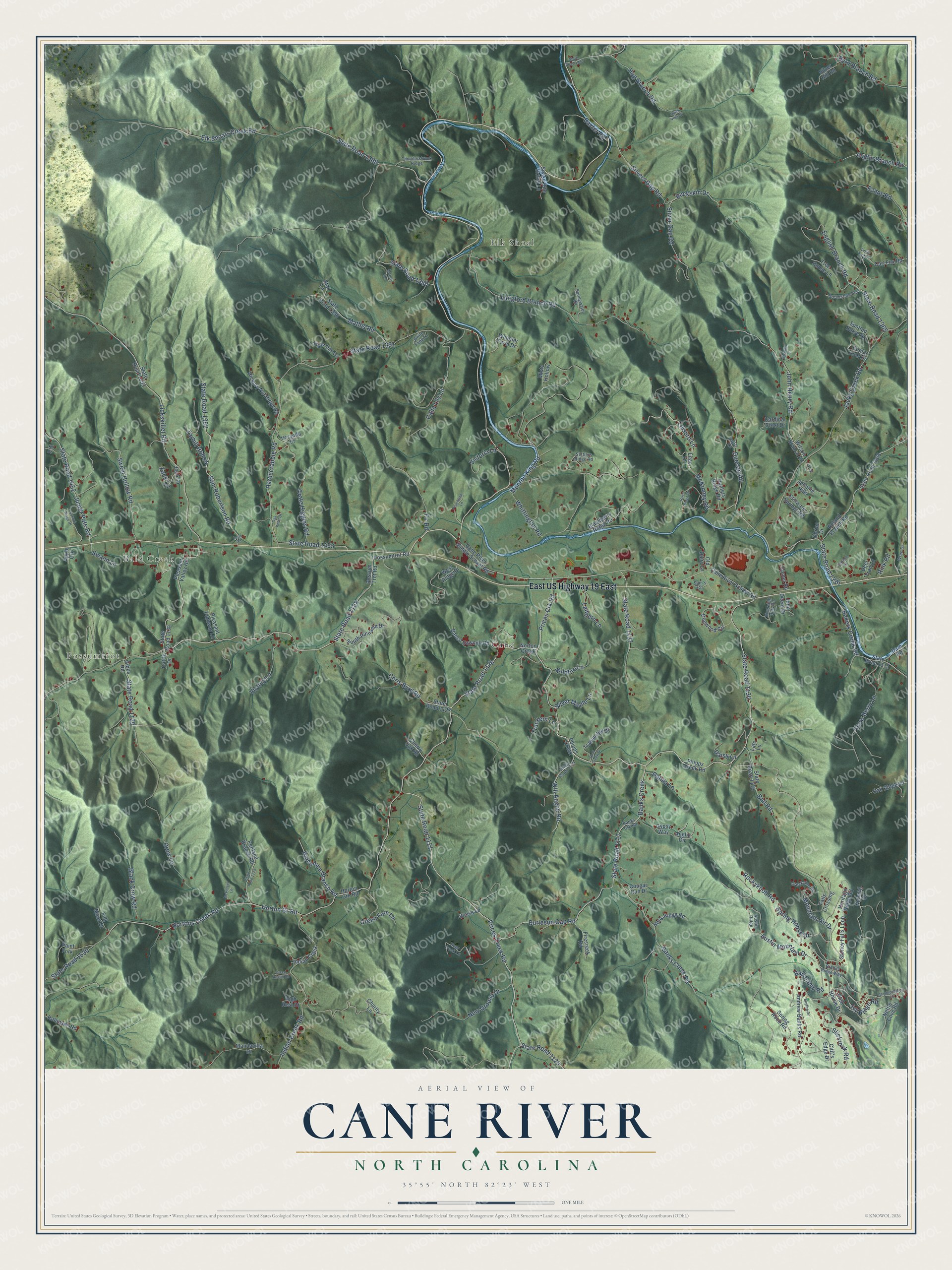
Names on this map
These names are printed on this map.
Places: Possumtrot, Elk Shoal, Bald Creek and Cane.
Streets and roads: East US Highway 19 East, State Road 1136, Prices Creek Road, McKinney Road, Banks Creek Road, Prices Crk Road, Banks Creek, State Road 1128, Jacks Creek Road, State Road 1117, Horton Cr Road, State Road 1121.
More street names, A to Z
Andrew Banks Road, Anglin Branch Road, Anglin Circle, Apple Crk, Austin Mountain Drive, Austin Ridge, Bakers Creek Road, Ball Camp Road, Ball Road, Banco Sawmill Road, Banks Crk Road, Baxter Road, Bens Ridge Road, Bigelow Lane, Blackberry Ridge Road, Black Crow Road, Brandy Ridge Way, Broadstone Road, Buckskin Drive, Burleson Gap Road, Byrd Branch Road, Calla Lily Lane, Candy Lane, Cane River Middle School Road, Cane River School Road, Cardinal Crest Drive, Carl Fox Road, Cattle Drive, Charity Lane, Cherry Oak Road, Chris Byrd Road, Cliff's Edge Drive, Club House Drive, Comet Road, Cool Creek Drive, Cougar Run Drive, Crate Higgins Road, Creed Austin Road, Creekside Drive, Crow Lane, Dahlia Lane, Daisy Lane, Dam Road, Deer Track Lane, Deer Trail Lane, Dogwood Circle, Duncan Road, Elk Shoals Creek Road, English Branch Road, Evans Road, Falls Crossing, Firecreek Road, Fir Road, Full Moon Drive, Gibbs Road, Green Fern Lane, Gypsy Way, Hardscrabble Road, Hawk View Drive, Heritage Ridge Road, Hickory Nut Ridge Road, High Rest Drive, Hog Branch Road, Holcombe Branch Road, Horton Crk Road, Hortons Creek Road, Hunters Ridge Road, Indian Creek, Indian Creek Road, Ivy Ridge Road, John Deere Drive, John Henry Road, Johnnie Hills, Josh Lane, Junior Pate Road, K9 Drive, Lana Road, Langford Branch Road, Lats Lane, Lawhern Lane, Leisure Lane, Lickskillet Road, Lilac Lane, Lookout Ridge Drive, Mandavilla Drive, Mathis Road, McPeters Lane, Misty Hollow, Monroe King Road, Mountain Air Drive, Nettle Cove Road, New Ground Drive, Norton Creek, Nutmeg Drive, Oak Knoll Drive, Oakland Drive, Oak Ridge Lane, Obrian Drive, Old Dairy Lane, Paint Fork, Peachtree Lane, Penland Branch Road, Phipps Creek, Phipps Creek Road, Pleasant Pathway Lane, Pleasant Valley Road, Poplar Leaf Drive, Possumtrot Road, Possum Trot Road, Rhododendron Lane, Rink Road, River Ridge Drive, Riverside Hills Road, Robinson Road, Rockyknob Road, Roland Branch Road, Sam's Circle, Sam Robertson Road, Settlers Ridge Road, Silver Gap Road, Silver Hill Road, Silver Maple Lane, Silvers Gap Road, Skyfire Drive, Slickrock Road, Snake Bite Holler Lane, Snow Berry Lane, South Pinnacle Drive, Spotted Horse Drive, Spring House Drive, Spring Rock Road, Springwater Road, Star Lane, State Road 1115, State Road 1116, State Road 1119, State Road 1120, State Road 1125, State Road 1126, State Road 1127, State Road 1129, State Road 1134, State Road 1137, State Road 1336, State Road 1365, State Road 1368, State Road 1383, State Road 1388, State Road 1389, State Road 1390, State Road 1391, State Road 1392, State Road 1393, State Road 1452, State Road 1453, State Road 1530, Stillwater Springs Road, Stoney Falls Loop, Swann Lane, Sweet Hollow Road, Syrup Lane, Tarhill Hollow, Taylor Lane, Thunderstruck Ridge, Tiger Lily Lane, Tranquility Drive, Tree House Lane, Truckers Lane, Turtle Trot Drive, Veranda Drive, Victoria Lane, Victory Lane, Weiss Lane, West Ridge Drive, Wheeler Farm Drive, White Fang Lane, Whittington Road, Wildfire Lane, Will Anglin Road, Wilson Branch Road, Wren Drive, Zack Lane.
See it on a wall
The Cane River map as a framed print. Swipe for more.


This beautifully detailed map of Cane River makes an attractive addition to your office, library, or den, and it can even be used to teach children the geography and history of the area. It also makes a great gift for anyone who grew up in Cane River or moved away. When you’re done exploring, click here to get your copy of the Cane River map.