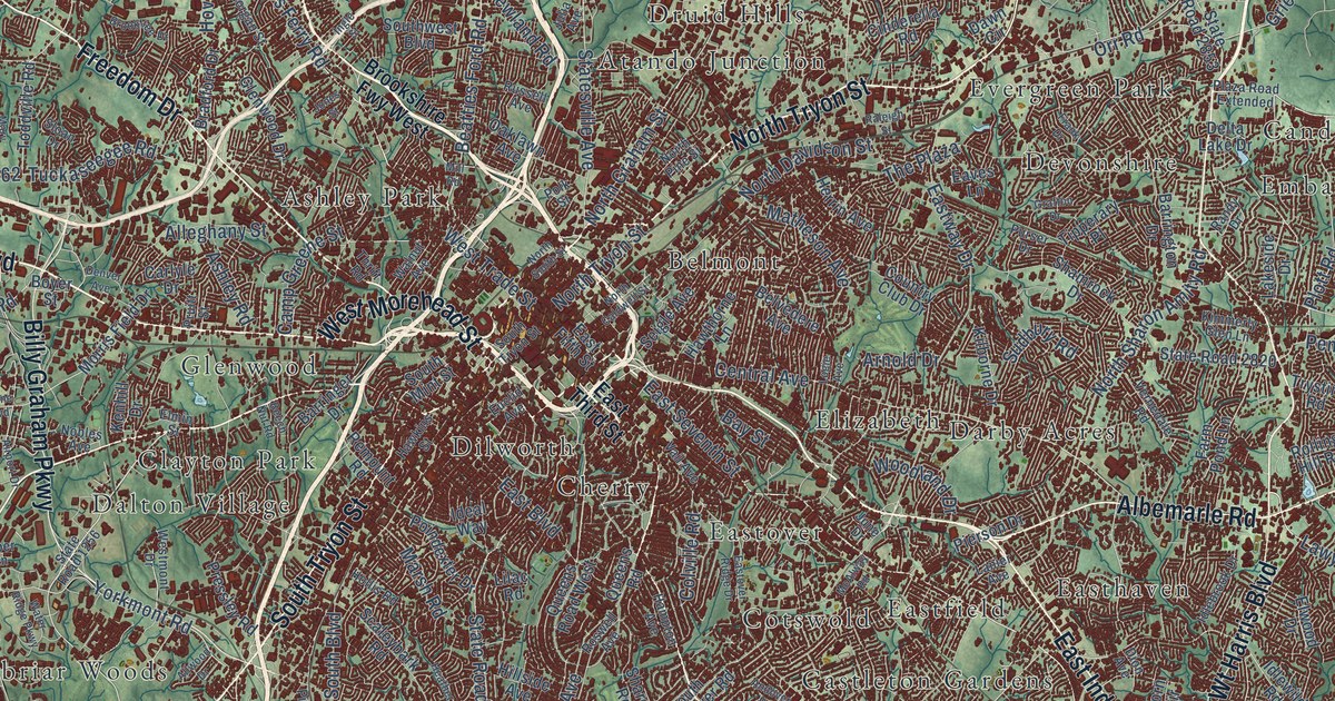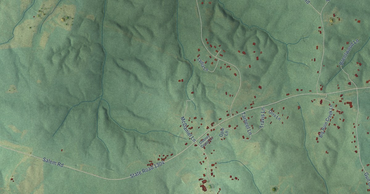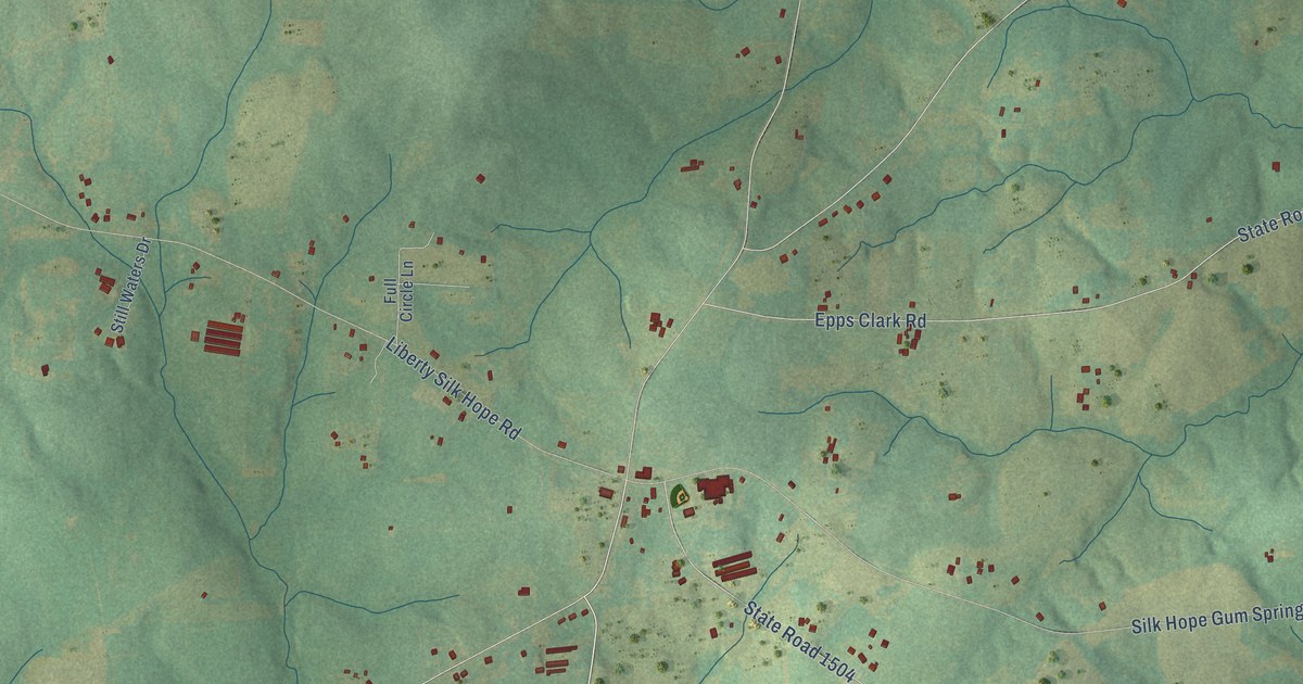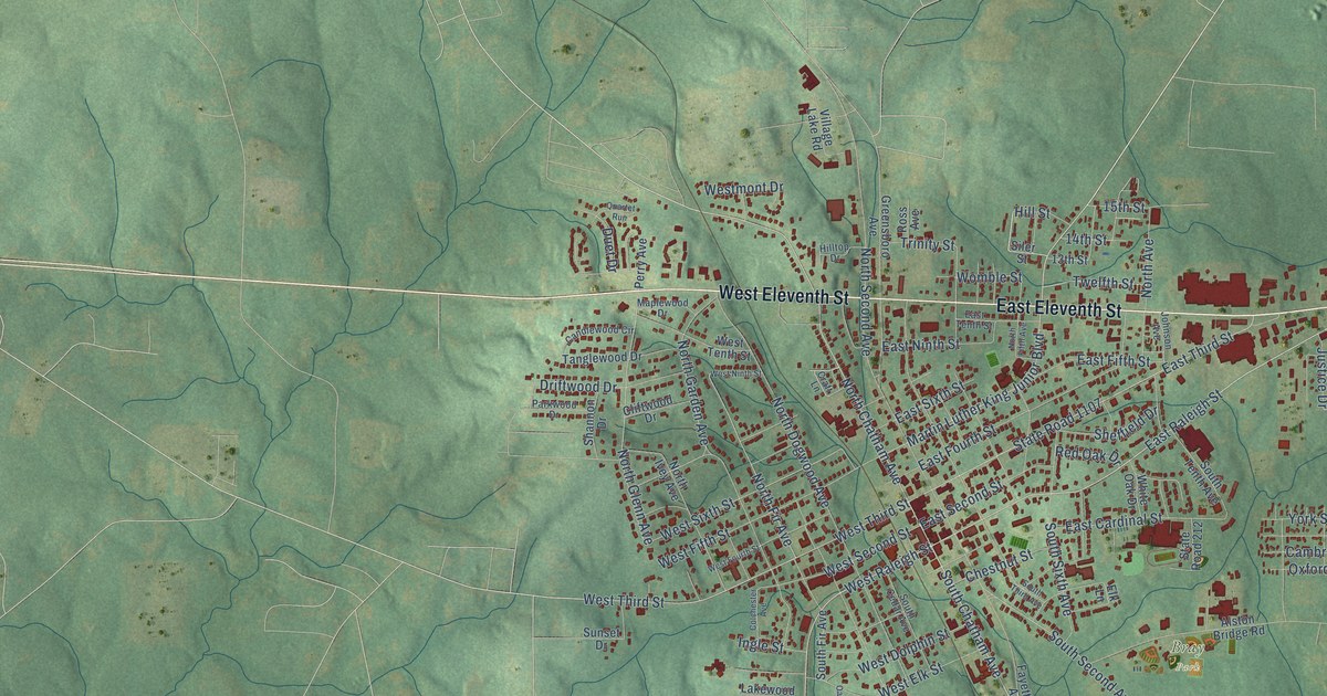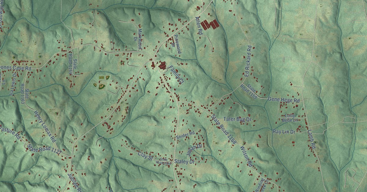
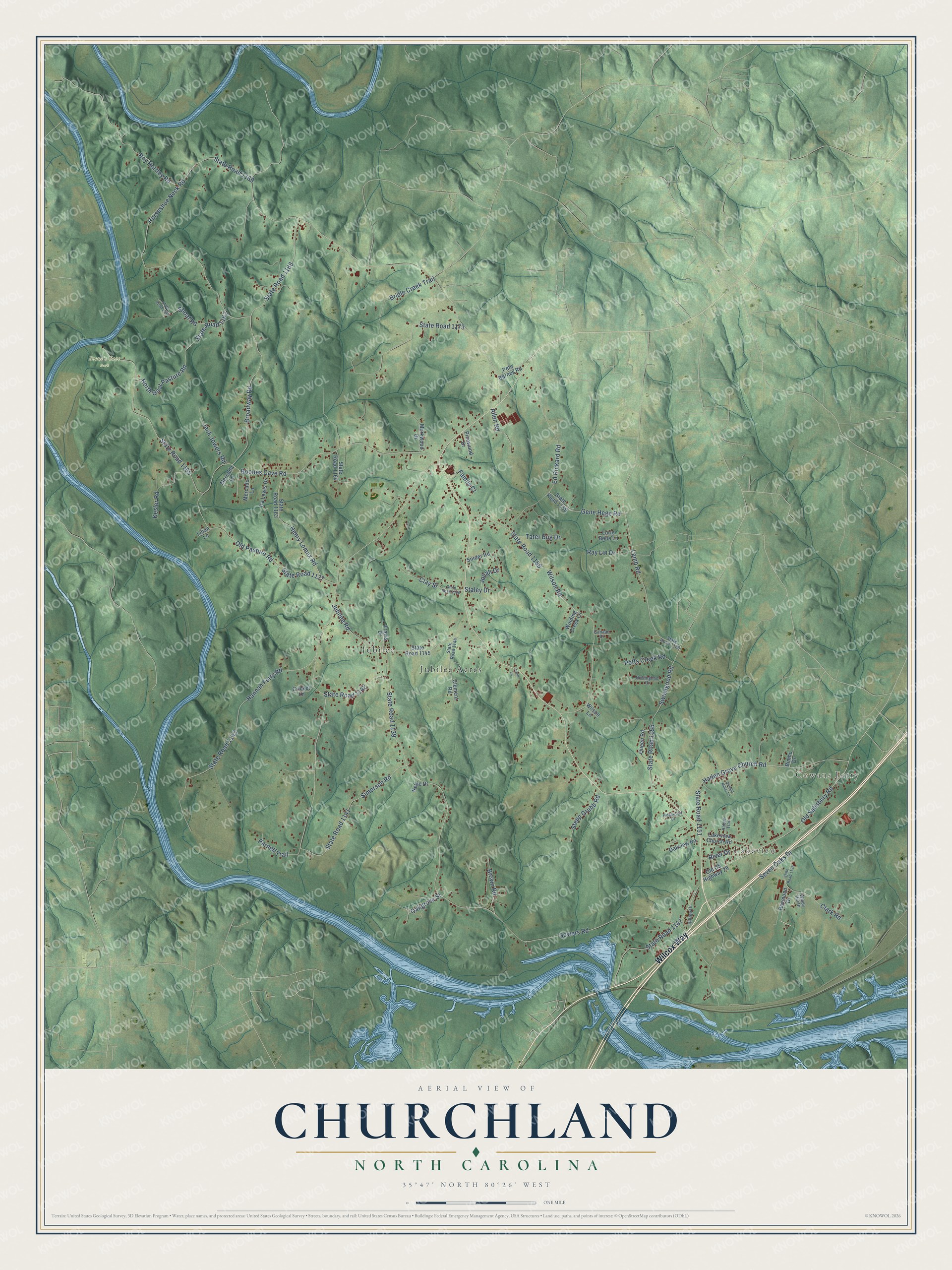
This beautifully detailed map of Churchland, North Carolina was created in 2026 using aerial imagery combined with modern topographical, census, street and landmark data. It’s a one-of-a-kind view of Churchland that combines accurate data with a vintage aesthetic. The map shows every building in its true location, many of the roads carry their names, and the shaded topographic relief shows the shape of the land.
Explore an aerial view of Churchland, North Carolina
On the map you’ll find Cowans Ferry, Lakeview, Boone’s Cave Park, Jubilee, and Jubilee Acres, along with Wilcox Way, Simerson Road, State Road 1141, Horseshoe Neck Road, State Road 1169, Sowers Road, State Road 1139, and more. If you look closely you can even find your house accurately drawn in its correct location. Zoom in on the preview to look for yours.
Did You Know?
From Internet Archive: "Three of the largest areas are mapped southwest of Linwood, north of Smith Grove Church, and north of Churchland."
Churchland is a community in Davidson County.
Take a closer look at the Churchland map
Names on this map
These names are printed on this map.
Places: Cowans Ferry, Lakeview, Boone's Cave Park, Jubilee and Jubilee Acres.
Streets and roads: Wilcox Way, Simerson Road, State Road 1141, Horseshoe Neck Road, State Road 1169, Sowers Road, State Road 1139, Boones Cave Road, State Road 1165, Old Salisbury Road, State Road 1147, Seven Oaks Drive.
More street names, A to Z
Allen Road, Bimbo Drive, Bridle Creek Trail, Broadway Road, Brown Road, Canaan Drive, Clark Road, Clay Street, Clement Road, Cricket Lane, Donald Miller Lane, Ed Rickard Road, Family Court, Gene Hege Road, Haden Grove Church Road, Hannah Ferry Road, Henry Lomax Road, Hilltop Drive, Ira Lewis Drive, Jack Jowers Road, Jonah Drive, Jubilee Road, Kesler Road, Lakeview Church Road, Lamb Road, Lilian Lane, Lorie Belle Lane, Markwood Drive, Mercada Lane, Mercado Lane, Nellie Drive, North Goat Pasture Road, Nottingham Drive, Oakgrove Street, Oakview Road, Old Pasture Road, Old US Highway 29, Orrell Lane, Parnell Trail, Pete Barnes Road, Pinewood Drive, Potts Creek Road, Queen Road, Rabon Trail, Ray Lin Drive, Raymond Drive, Ridgewood Drive, River Drive, Roy Hartley Road, Shoaf Road, Snider Road, Staley Drive, State Road 1127, State Road 1136, State Road 1142, State Road 1143, State Road 1144, State Road 1145, State Road 1151, State Road 1155, State Road 1158, State Road 1159, State Road 1160, State Road 1162, State Road 1163, State Road 1164, State Road 1166, State Road 1168, State Road 1173, State Road 1326, Stepp Grubb Road, Swicegood Road, Tater Bug Drive, Travis Drive, Wilson Lane, Wilson Road, Winding Creek Lane, Windy Hill Drive.
See it on a wall
The Churchland map as a framed print. Swipe for more.


This beautifully detailed map of Churchland makes an attractive addition to your office, library, or den, and it can even be used to teach children the geography and history of the area. It also makes a great gift for someone who left Churchland and still calls it home. When you’re done exploring, click here to get your copy of the Churchland map.