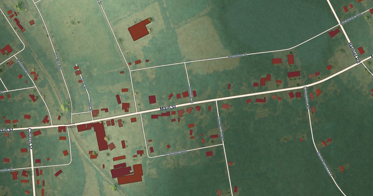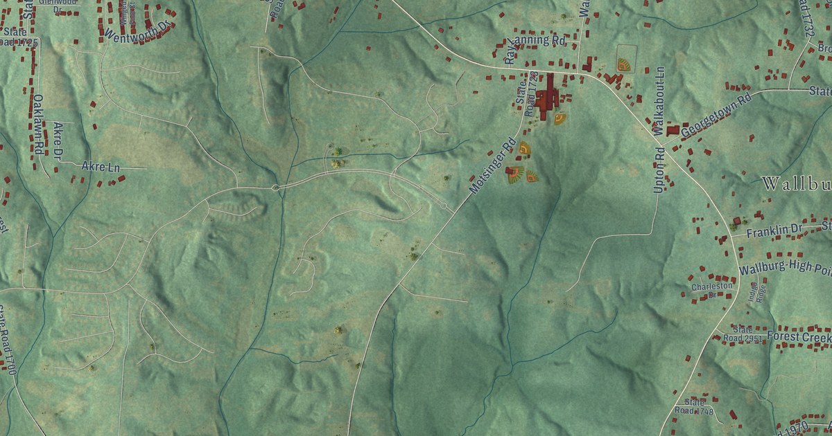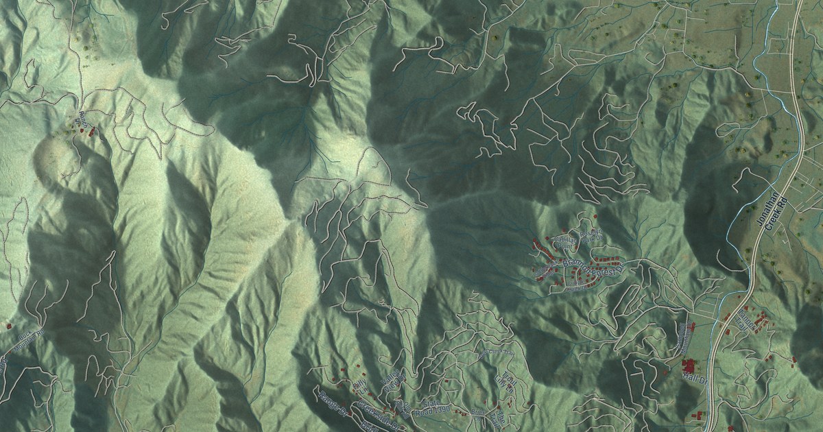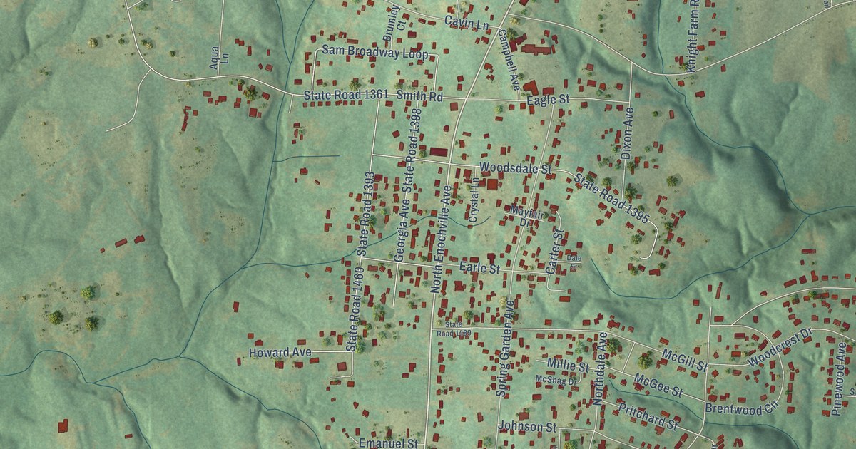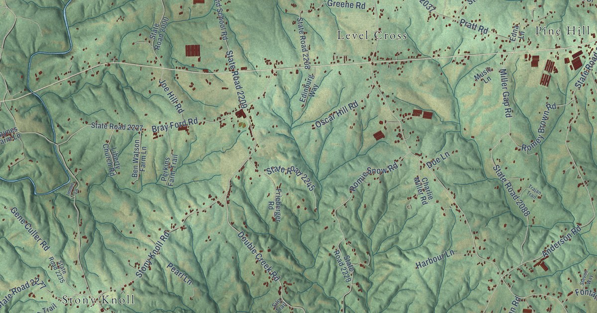
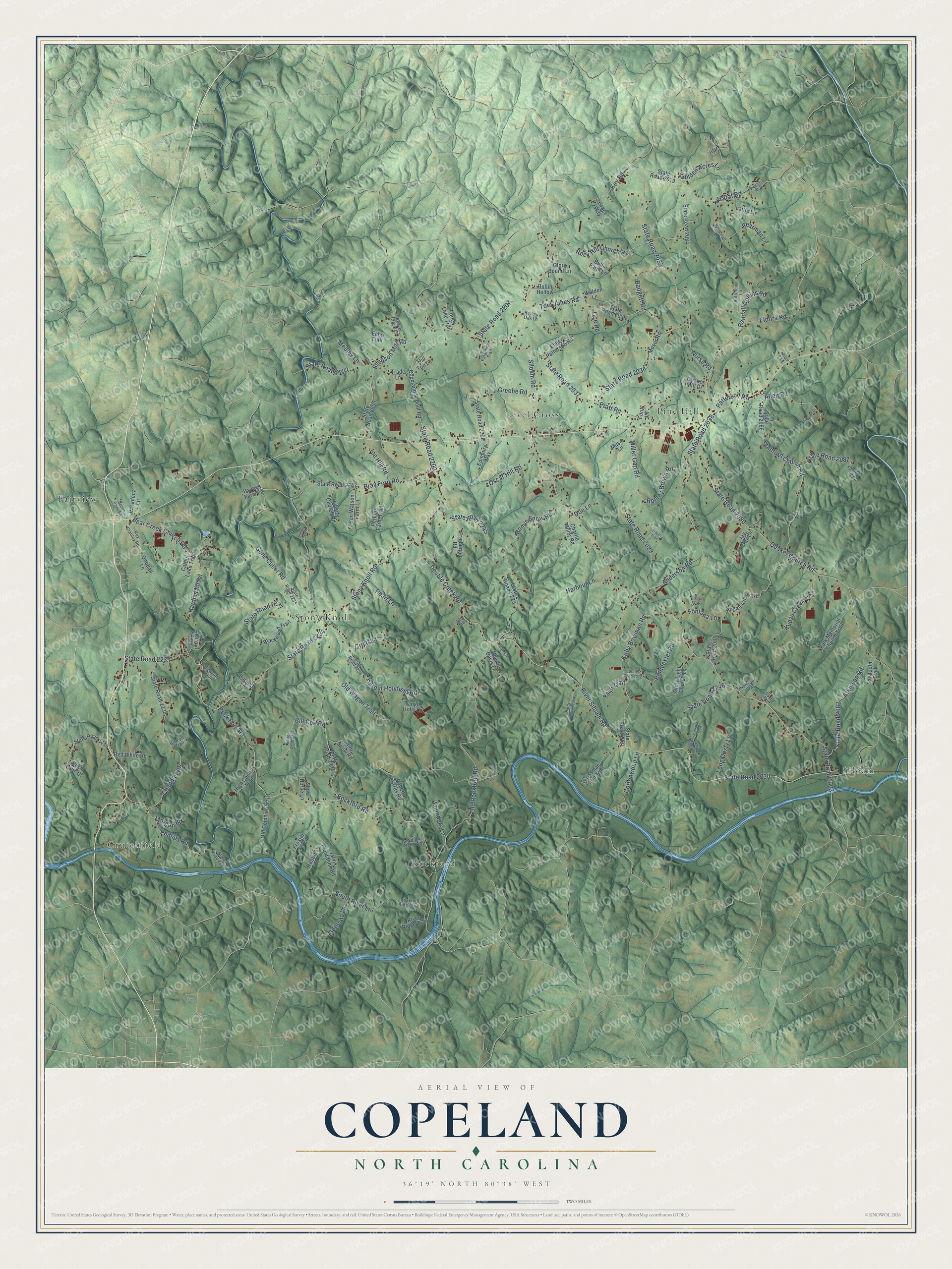
This beautifully detailed map of Copeland, North Carolina was created in 2026 using aerial imagery combined with modern topographical, census, street and landmark data. It’s a one-of-a-kind view of Copeland that combines accurate data with a vintage aesthetic. The map shows every building in its true location, many of the roads carry their names, and the shaded topographic relief shows the shape of the land.
Explore an aerial view of Copeland, North Carolina
On the map you’ll find Crutchfield, Siloam, Fairview, Pine Hill, Rockford, Level Cross, and Stony Knoll, along with River Siloam Road, Double Creek Road, Siloam Road, State Road 1003, State Road 2230, and more. If you look closely you can even find your house accurately drawn in its correct location. Zoom in on the preview to look for yours.
Did You Know?
From Internet Archive: "John Copeland came from Perquimans county and settled near what is now the village Ahoskie."
Copeland is a community in Surry County.
Take a closer look at the Copeland map
Names on this map
These names are printed on this map.
Places: Crutchfield, Siloam, Fairview, Pine Hill, Rockford, Level Cross and Stony Knoll.
Streets and roads: River Siloam Road, Double Creek Road, Siloam Road, State Road 1003, State Road 2230, Rockford Road, State Road 2038, State Road 2209, State Road 2233, Anderson Road, Quaker Church Road, State Road 2234.
More street names, A to Z
Allen Road, Ararat Road, Arbor Lane, Atkinson Road, Badgett Road, Bear Creek Church Road, Beaver Creek Lane, Ben Watson Farm Lane, Big Falls Trail, Bill Coe Road, Billy Pratt Road, Blackwood Trail, Bray Ford Road, Buck Fork Road, Bullin Farm Lane, Bullin Hollow, Burnett Lane, Buttercup Lane, Cattail Lake Trail, Chandler Road, Charlie Davis Lane, Charlie Miller Road, Coe Road, Copeland School Road, Cottonwood Lane, Crissman Farm Trail, Cristi Lane, Croom Davis Road, Doe Lane, Echo Trail, Edinburg Way, Edna Lane, Eldorado Lane, Eldora Road, Eliza Lane, Elmer Patterson Road, Faye Trail, Fontana Lane, Forest Lake Trail, Founders Lane, Fran Lane, Frasier Fir Lane, Frieberger Road, Fulk Memorial Church Trail, Gene Culler Road, Glory Bound Lane, Glory Light Church Lane, Golden Acres Lane, Goodall Lane, Grace Way, Greene Road, Hamilton Way, Harbour Lane, Hardin Holyfield Road, Hardin Mill Road, Hardy Creek Trail, Haynes Farm Lane, High Country Trail, Hill Top Lane, Hogan Creek Road, Hollow Oak Lane, Immie Lane, Ironside Lane, Jarvis Plantation Road, Jay Max Lane, Jim Snow Road, Joe Hill Road, Key Road, Kirby Bowman Road, Kudzu Creek Trail, Lamp Post Lane, Lattie Lane, Liberty Church Road, Long Dusty Lane, Medley Lane, Miller Gap Road, Morgan Road, Moser Road, Music Lane, Nurse Road, Old Colonial Trail, Old Rockford Road, Old Wagon Trail, Oscar Hill Road, Palamino Trail, Pasadena Lane, Patterson Road, Pearl Lane, Pearman Lane, Perkins Farm Trail, Phillips Road, Poindexter Road, Pratt Road, Princess Lane, Quaker Mill Drive, Rabbit Lane, Randall Collins Road, Rebel Hill Lane, Red White Road, River Ridge Trail, Robert Burrus Road, Rockford Ridge Trail, Rock Hill Church Road, Rock Lane Drive, Romey Brown Road, Romie Snow Road, Roy Stanley Road, Sawtooth Trail, Seapath Trail, Show Horse Lane, Silo Trail, Simpson Mill Road, South River Lane, Stanford Church Road, State Road 1114, State Road 2000, State Road 2019, State Road 2033, State Road 2034, State Road 2035, State Road 2036, State Road 2037, State Road 2080, State Road 2082, State Road 2085, State Road 2086, State Road 2087, State Road 2088, State Road 2207, State Road 2208, State Road 2221, State Road 2222, State Road 2227, State Road 2229, State Road 2231, State Road 2235, State Road 2236, State Road 2237, State Road 2238, State Road 2240, State Road 2245, State Road 2246, State Road 2272, State Road 2277, Steves Way, Stony Knoll Road, Tangle Holly Lane, Tom Jones Road, Trade Lane, Trajan Trail, Walden Lane, Waterfall Lane, Willow Bend Way, Yamaha Trail, Zion Way.
See it on a wall
The Copeland map as a framed print. Swipe for more.


This beautifully detailed map of Copeland makes an attractive addition to your office, library, or den, and it can even be used to teach children the geography and history of the area. It also makes a great gift for someone who left Copeland and still calls it home. When you’re done exploring, click here to get your copy of the Copeland map.