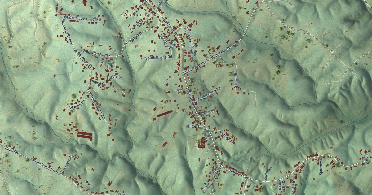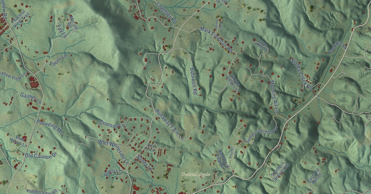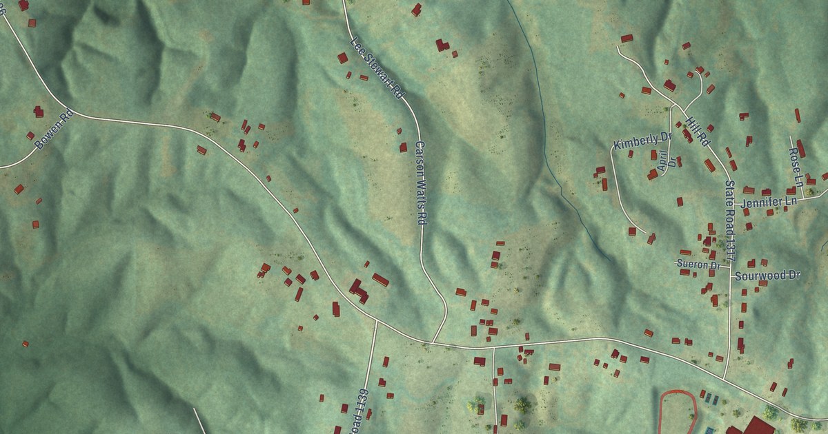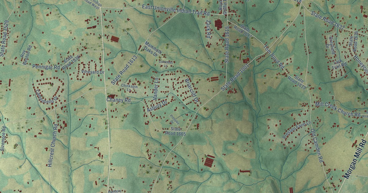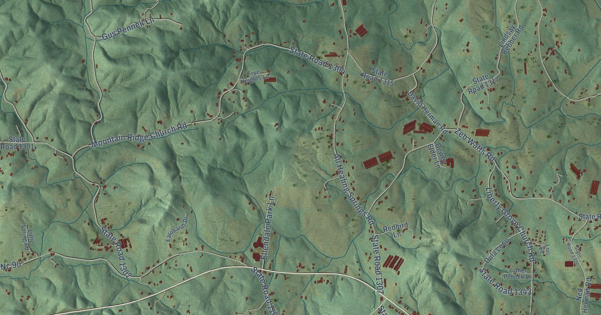
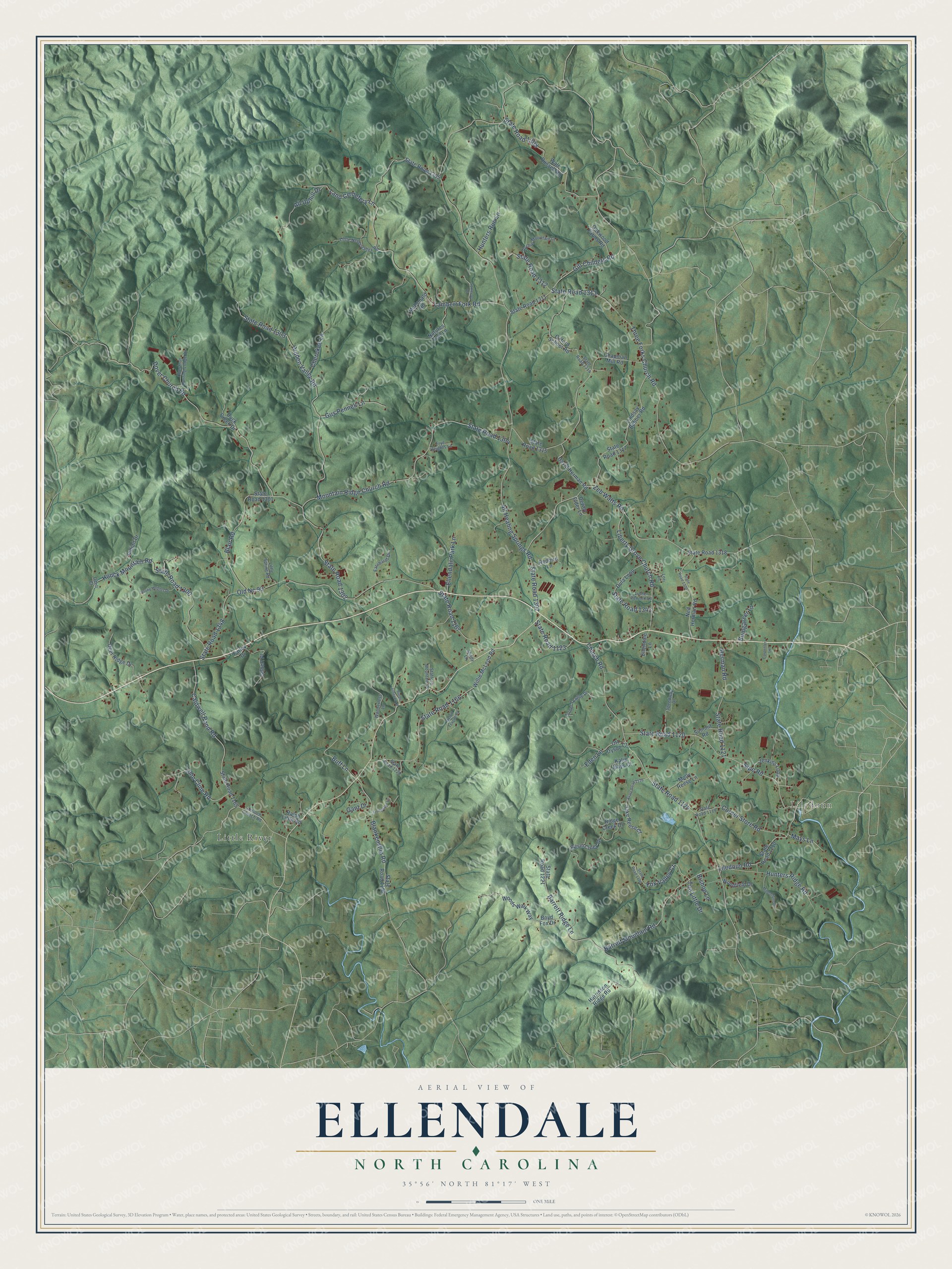
This beautifully detailed map of Ellendale, North Carolina was created in 2026 using aerial imagery combined with modern topographical, census, street and landmark data. It’s a one-of-a-kind view of Ellendale that combines accurate data with a vintage aesthetic. The map shows every building in its true location, many of the roads carry their names, and the shaded topographic relief shows the shape of the land.
Explore an aerial view of Ellendale, North Carolina
On the map you’ll find Liledoun and Little River, along with Dover Church Road, State Road 1302, Gill Childers Road, All Healing Springs Road, State Road 1307, State Road 1124, Three Forks Church Road, Church Road, Lambert Fork Road, State Road 1313, and more. If you look closely you can even find your house accurately drawn in its correct location. Zoom in on the preview to look for yours.
Did You Know?
From Internet Archive: "The church was originally organized in the schoolhouse of District No. 32, but afterward built an excellent house which was used both for a meeting house and a high school near Ellendale Springs."
Ellendale is a community in Alexander County.
Take a closer look at the Ellendale map
Names on this map
These names are printed on this map.
Places: Liledoun and Little River.
Streets and roads: Dover Church Road, State Road 1302, Gill Childers Road, All Healing Springs Road, State Road 1307, State Road 1124, Three Forks Church Road, Church Road, Lambert Fork Road, State Road 1313, Old Nc 90, State Road 1348.
More street names, A to Z
All Uphill Drive, Antioch Church Road, Archie Mountain Lane, Barrett Mountain Road, Barrett Ridge Lane, Basin Creek Drive, Bishop Lane, Blair Road, Blankenship Road, Boyd Fox Drive, Buff Lane, Bumgarner Lane, Butler Johnson Court, Caldwell Pond Road, Carpenter Lane, Chapman Mill Road, Cherokee Lane, Chestnut Hunting Lodge Drive, Corner Store Road, David Herman Road, Deer Ridge Drive, Dewey Elder Lane, Duck Creek Drive, Dula Loop, Earnhardt Drive, Eden Lane, Ellendale Lane, Ellendale Park Lane, Farley Drive, Fox Valley Court, Frye Heights Lane, Gant Drive, Gilbert Place, Gus Pennell Lane, Harrelson Ridge Road, Herman Road, Hidden Valley Road, Houck Mountain Road, Hunters Ridge Road, Hunters Run Lane, Indian Drive, Jake Reese Court, Jenkins Loop, John Cline Road, Katie Mays Court, Land Cemetery Lane, Liberty Grove Church Road, Liledoun Road, Lindsay Bebber Road, Little Never Valley Road, Little Spring Road, Livingston Lane, Lori Lane, Luther Pennell Lane, Mays Lane, McDonald Road, Melvin Teague Road, Millennium Drive, Molly Reese Lane, Mountain Ridge Church Road, Natures Trail Lane, Ned Herman Road, Oakwood Farms Road, Odell Court, Ott Dyson Court, Oxford School Road, Ralph Little Road, Redbird Lane, Ridge Creek Drive, Rocky Heights Drive, Shady Lane, Sipe Road, Somerset Place, Speedway Drive, Stafford Mountain Drive, State Road 1110, State Road 1119, State Road 1120, State Road 1121, State Road 1123, State Road 1126, State Road 1152, State Road 1165, State Road 1166, State Road 1167, State Road 1176, State Road 1220, State Road 1221, State Road 1300, State Road 1301, State Road 1303, State Road 1304, State Road 1305, State Road 1308, State Road 1311, State Road 1312, State Road 1314, State Road 1315, State Road 1317, State Road 1318, State Road 1320, State Road 1343, Summit Road, Ted Little Drive, Turner Teague Drive, Walt Russell Road, Wanderless Lane, Willie McLeod Road, Woodfield Drive, Woods Walk Way, Zeb Watts Road.
See it on a wall
The Ellendale map as a framed print. Swipe for more.


This beautifully detailed map of Ellendale makes an attractive addition to your office, library, or den, and it can even be used to teach children the geography and history of the area. It also makes a great gift for someone who left Ellendale and still calls it home. When you’re done exploring, click here to get your copy of the Ellendale map.