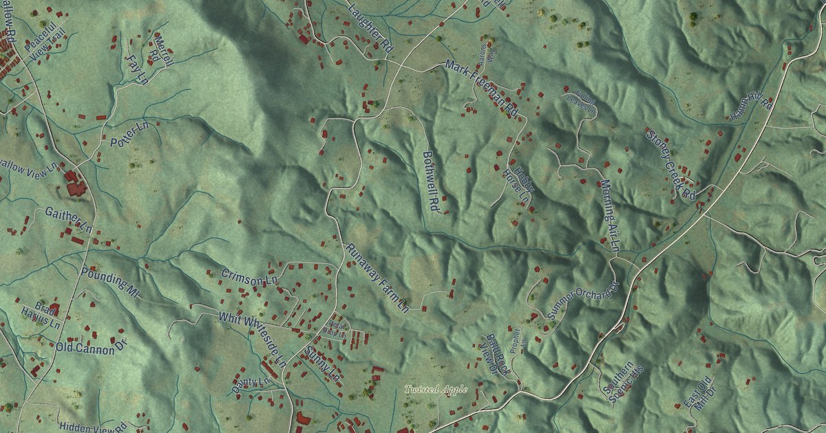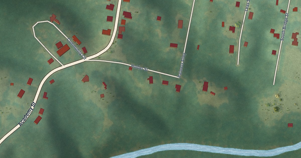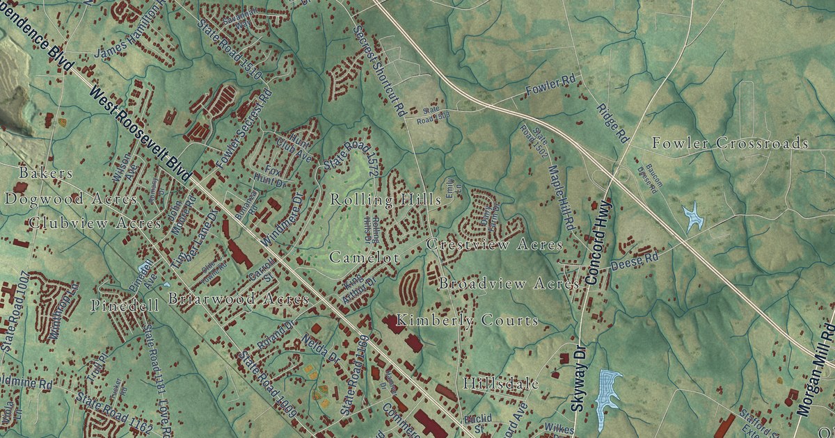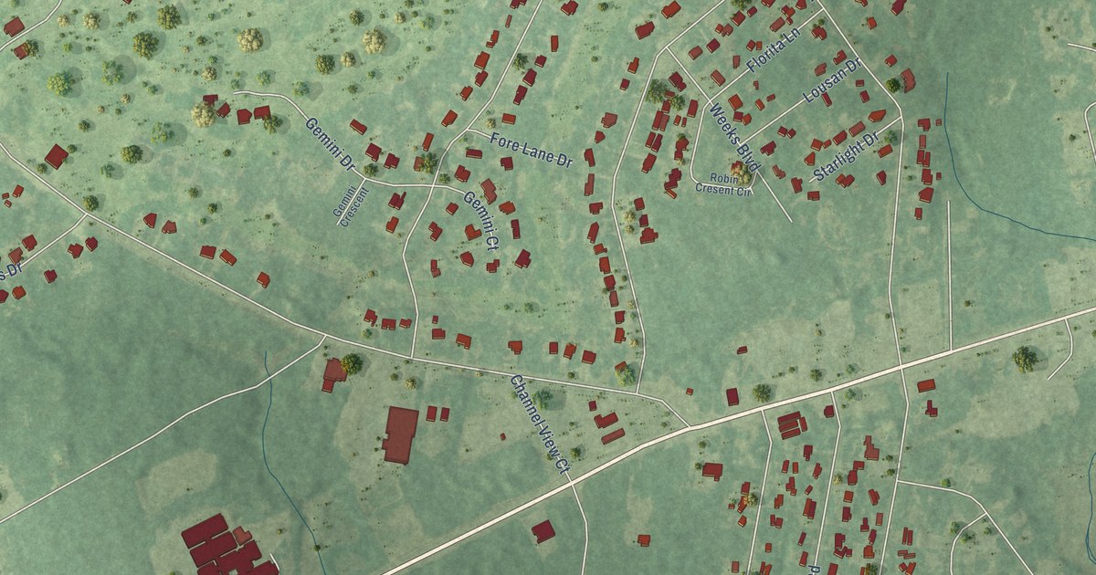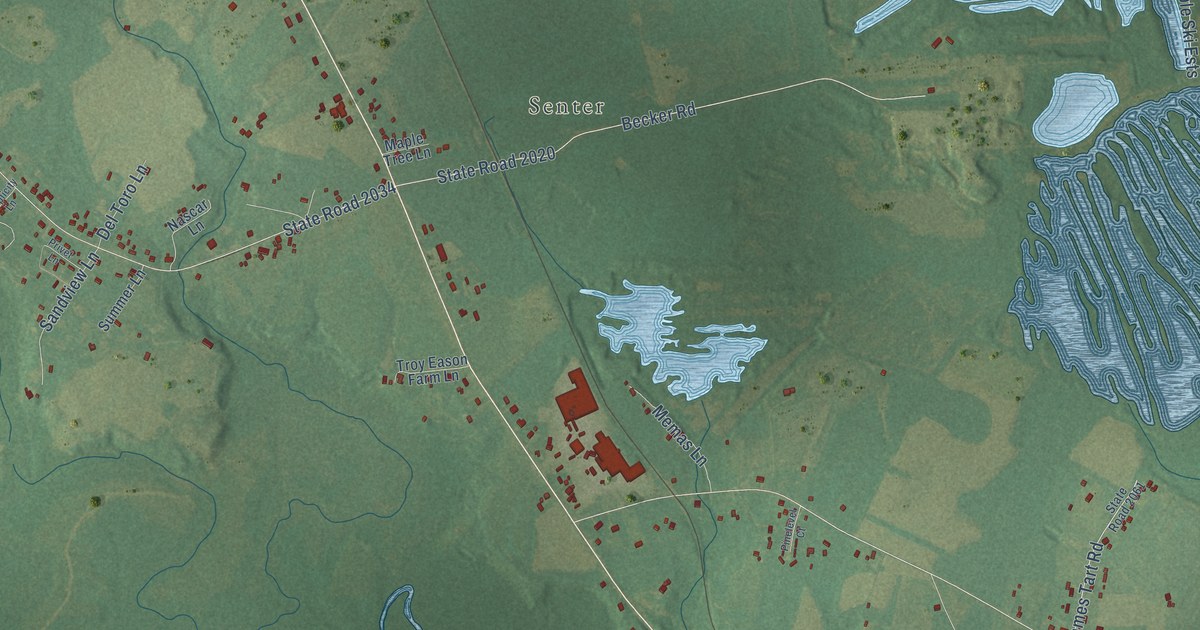
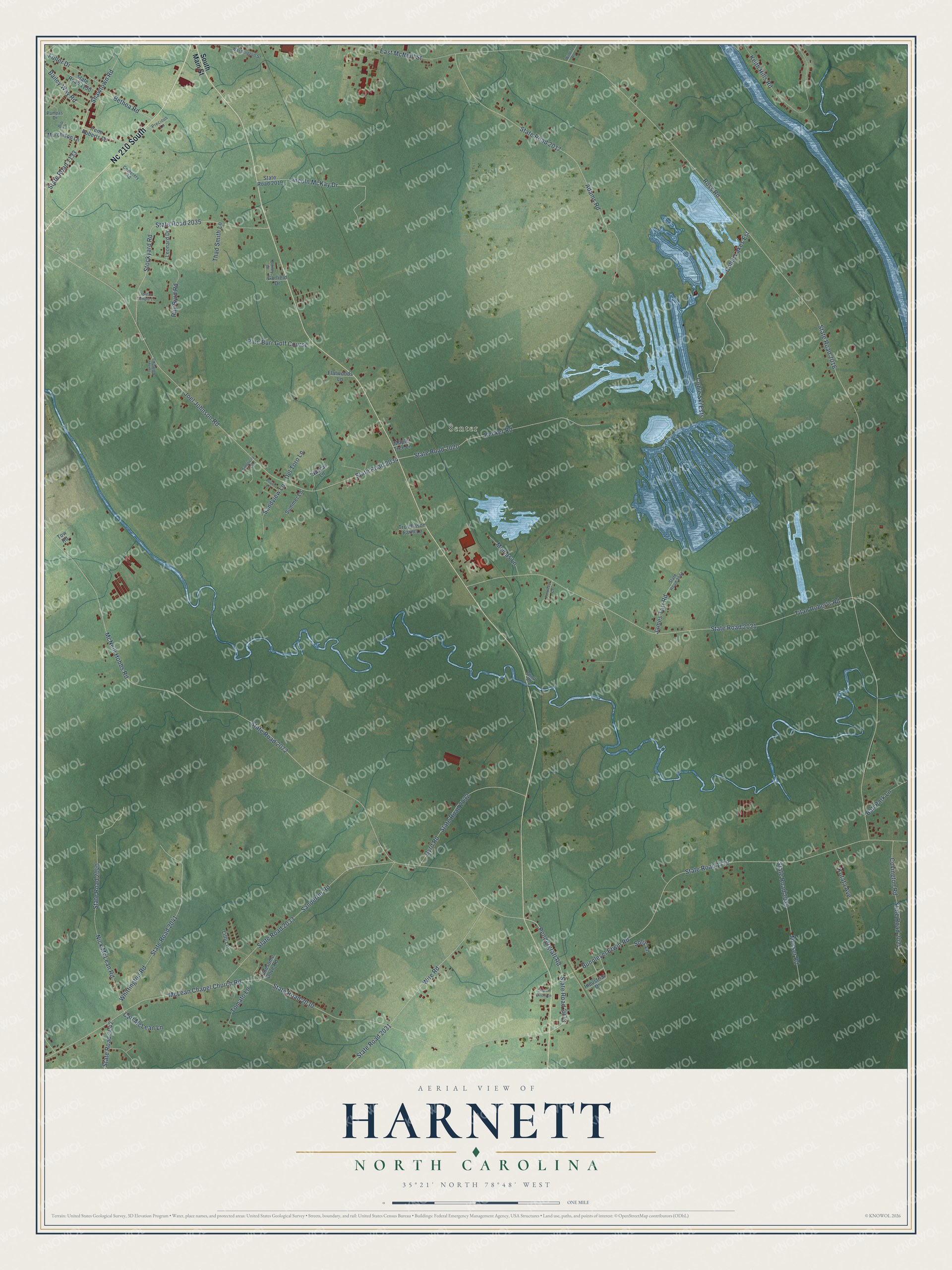
This beautifully detailed map of Harnett, North Carolina was created in 2026 using aerial imagery combined with modern topographical, census, street and landmark data. It’s a one-of-a-kind view of Harnett that combines accurate data with a vintage aesthetic. The map shows every building in its true location, many of the roads carry their names, and the shaded topographic relief shows the shape of the land.
Explore an aerial view of Harnett, North Carolina
On the map you’ll find Senter and Nc 210 South, along with Pendergraft Road, State Road 2073, Ross Road, State Road 2016, McNeill Hobbs Road, State Road 2072, McLean Chapel Church Road, State Road 2030, State Road 2021, Titan Roberts Road, and more. If you look closely you can even find your house accurately drawn in its correct location. Zoom in on the preview to look for yours.
Did You Know?
From Internet Archive: "Ferry be kept for that river by Cornelius Harnett, from the place designed for a town on the West side of the river to a place called the HaulcHDver."
Harnett is a community in Harnett County.
Take a closer look at the Harnett map
Names on this map
These names are printed on this map.
Places: Senter and Pine Burr Golf Course.
Streets and roads: Nc 210 South, Pendergraft Road, State Road 2073, Ross Road, State Road 2016, McNeill Hobbs Road, State Road 2072, McLean Chapel Church Road, State Road 2030, State Road 2021, Titan Roberts Road, Joel Johnson Road.
More street names, A to Z
Adams Road, Bailey Drive, Bailey Way Road, Ball Park Lane, Becker Road, Bethea Road, Bunnlevel Erwin Road, Byrd Road, Carl McLean Lane, Cemetery Road, Church Circle Lane, Coble Lakes Est, Coble Ski Ests, Covington Road, Del Toro Lane, East McNeill Street, Flatwoods Lane, Fuller Drive, Garfield Drive, Industrial Drive, Irene Roberts Road, James Tart Road, Jordan Temple Lane, Keith Hills Road, Kotata Avenue, Leonard Drive, Lilly Lane, Lincoln McKay Drive, Lonesome Dove Road, Maple Tree Lane, Memas Lane, Messer Road, Murchison Lane, Nascar Lane, Nick McLean Road, Pampas Drive, Pinelevel Court, Precious Lane, Privet Lane, Ray Byrd Road, Rio Lane, Sanderfer Road, Sandview Lane, Shawtown Road, Short Road, Simplicity Lane, Solis Lane, South Main Street, State Road 1133, State Road 1150, State Road 1779, State Road 2017, State Road 2019, State Road 2020, State Road 2024, State Road 2025, State Road 2031, State Road 2032, State Road 2033, State Road 2034, State Road 2035, State Road 2040, State Road 2041, State Road 2042, State Road 2061, Stockyard Road, Summer Lane, Thad Smith Lane, Tomato Lane, Tow Road, Troy Eason Farm Lane, Turner Bailey Road, Washington Street, Whittington Road, Wildlife Road, Wire Road.
See it on a wall
The Harnett map as a framed print. Swipe for more.


This beautifully detailed map of Harnett makes an attractive addition to your office, library, or den, and it can even be used to teach children the geography and history of the area. It also makes a great gift for anyone with Harnett roots. When you’re done exploring, click here to get your copy of the Harnett map.