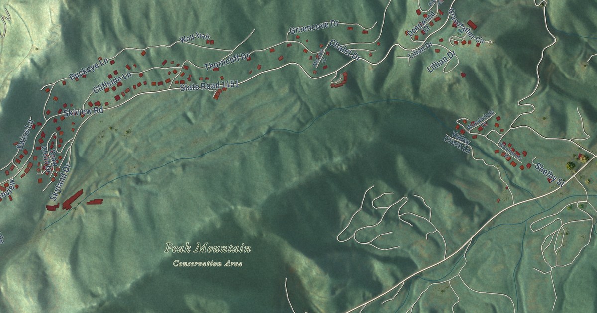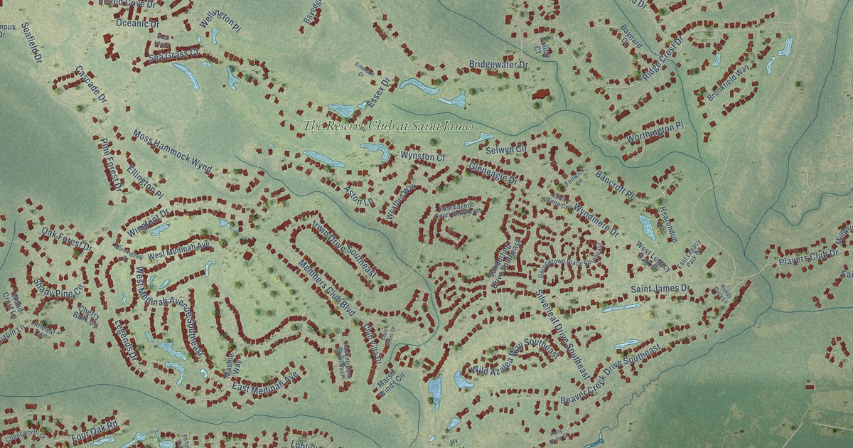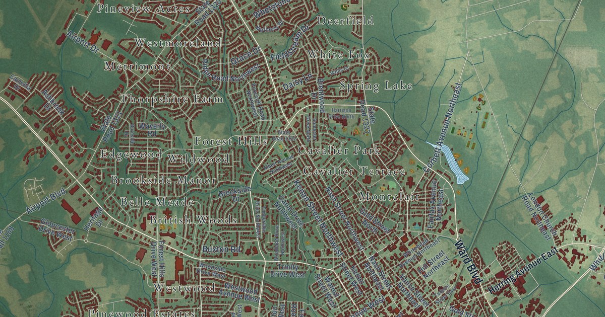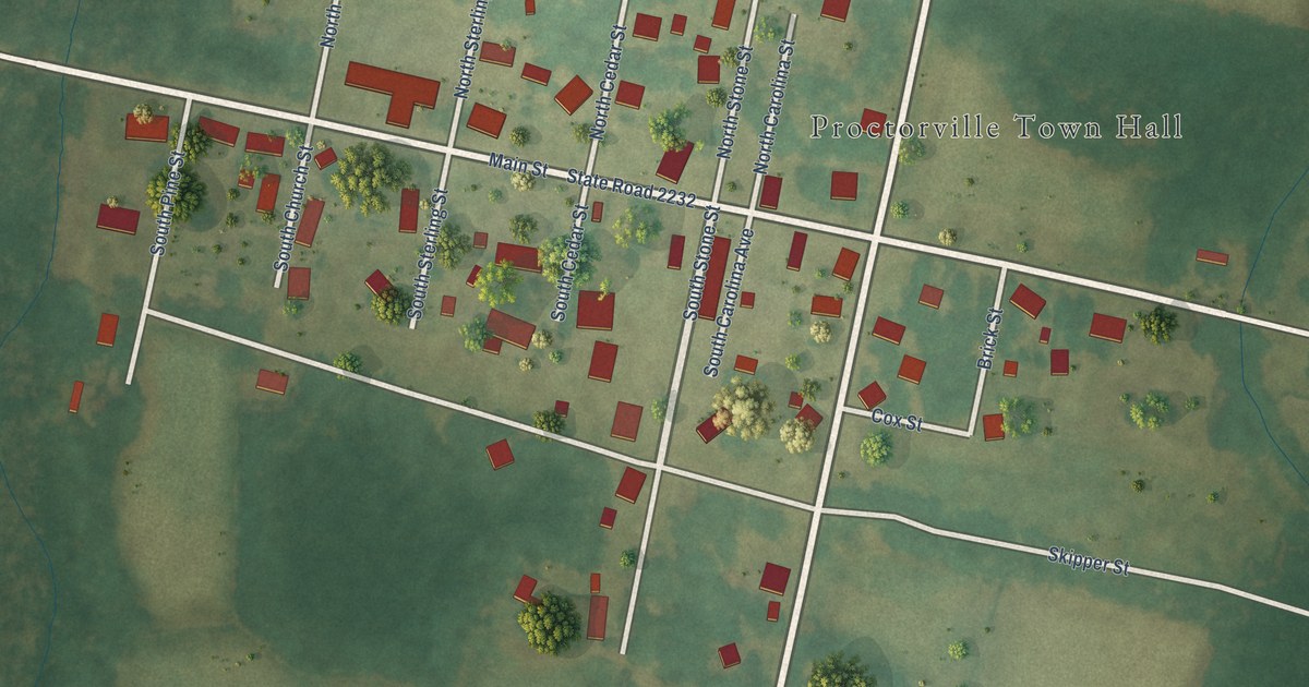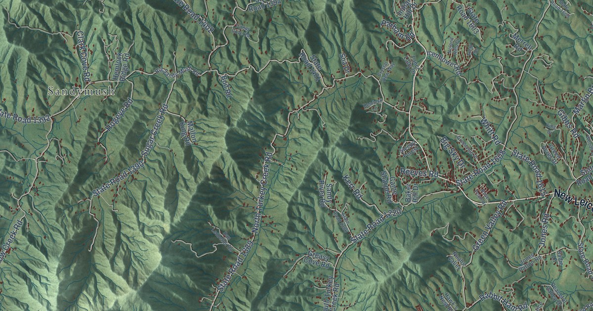
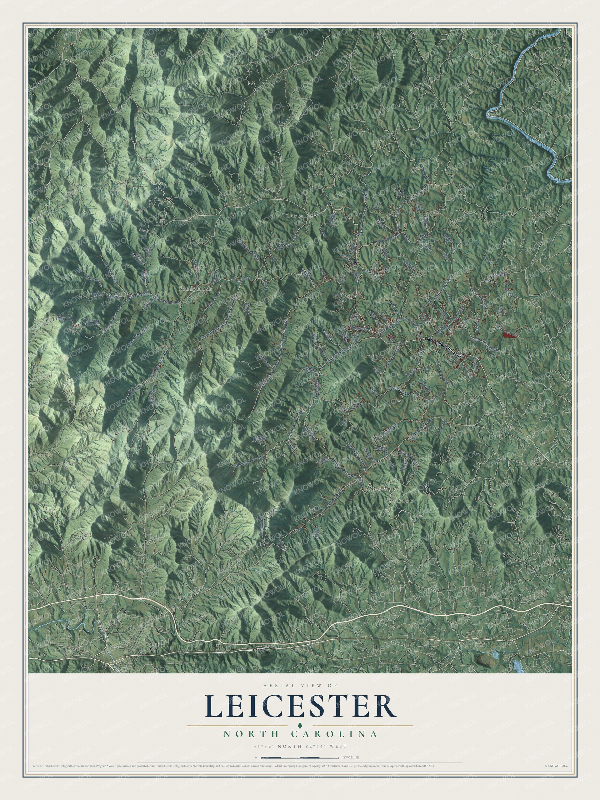
This beautifully detailed map of Leicester, North Carolina was created in 2026 using aerial imagery combined with modern topographical, census, street and landmark data. It’s a one-of-a-kind view of Leicester that combines accurate data with a vintage aesthetic. The map shows every building in its true location, many of the roads carry their names, and the shaded topographic relief shows the shape of the land.
Explore an aerial view of Leicester, North Carolina
On the map you’ll find Owltown, Newfound, Canto, and Sandymush, along with New Leicester Highway, Martin Branch Road, Meadows Town Road, Morgan Branch Road, State Road 1384, State Road 1220, Newfound Road, State Road 1004, and more. If you look closely you can even find your house accurately drawn in its correct location. Zoom in on the preview to look for yours.
Did You Know?
From Internet Archive: "The town was founded about the beginning of the late war, and is named in honor of Leicester Chapman, who was the first to open business in the place."
Leicester is a community in Buncombe County.
Take a closer look at the Leicester map
Names on this map
These names are printed on this map.
Places: Owltown, Newfound, Canto and Sandymush.
Streets and roads: New Leicester Highway, Martin Branch Road, Meadows Town Road, Morgan Branch Road, State Road 1384, State Road 1220, Newfound Road, State Road 1004, Bear Creek Road, North Turkey Creek Road, State Road 1389, State Road 1608.
More street names, A to Z
Alexander Road, Baker Hill Drive, Bald Creek Road, Bearwallow Trail, Beaver Dam Gap, Bee Branch Road, Big Sandy Mush Road, Big Sky Drive, Blossom Ridge, Boyd Cove Road, Brooks Branch Road, Browntown Road, Bud Road, Butter Cup Lane, Came Sharpe Road, Cascade Drive, Clark Cove Road, Crystal View Way, Dan Ledbetter Road, Davidson Gap Road, Davis Cove Road, Don Felmet Road, Fanci Lady Drive, Freeman Road, Garrett Cove Road, Gibbs Road, Golden Road, Gorman Road, Greasy Cove Road, Green Acres Drive, Greenvale Drive, Green Valley Road, Hal-J's Road, Hawk's Nest Road, Hawkins Drive, Hayes Cove Road, Hazel Lane, Hemlock Lane, Hemlock Ridge Road, High Ridge Road, Hogeye Road, Hookers Gap Road, Icenhower Road, Indian Hill Drive, Israel Road, Jones Patton Road, Jones Road, Justice Drive, Kerr Road, King Drive, Long Lang Road, Madie Hill Drive, Mallon King Road, Margaret Drive, Merrell Road, Morgan Brand Road, Mount Airy Road, Mount Soma Boulevard, Nikki Way, Noahs Valley, Noland Hills Drive, Old Newfound Road, Olympic Drive, Overlook Drive, Paramount Drive, Parham Road, Peaceful Valley Drive, Peepeye Cove Road, Pilgrim Drive, Piney Knob Road, Potato Branch Road, Quiet Woods Drive, Rabbit Ham Road, Reeves Road, Ridgeview Road, Robinson Cove Road, Rockledge Drive, Rose Point Drive, Saddlebrook Lane, Sadie Lane, Sandy Mush Creek Road, Sandy River Road, Sha Drive, Shelby Court, Sherry Lane, Shirley's Way, Shook Cove Road, Sleepy Forest, Sluder Branch Road, South Turkey Creek Road, Star Drive, State Road 1001, State Road 1297, State Road 1378, State Road 1383, State Road 1386, State Road 1390, State Road 1392, State Road 1394, State Road 1395, State Road 1397, State Road 1399, State Road 1401, State Road 1402, State Road 1602, State Road 1603, State Road 1604, State Road 1607, State Road 1609, State Road 1615, State Road 1616, State Road 1620, Sugar Creek Road, Surrett Cove Road, Suttell Cove Road, Teague Road, Trent Drive, Turkey Creek Drive, Turkey Creek Road, Turner Cove Road, Walnut Drive, West Road, West Walthaven Drive, Whitt Road, Willow Creek Road.
See it on a wall
The Leicester map as a framed print. Swipe for more.


This beautifully detailed map of Leicester makes an attractive addition to your office, library, or den, and it can even be used to teach children the geography and history of the area. It also makes a great gift for anyone who grew up in Leicester or moved away. When you’re done exploring, click here to get your copy of the Leicester map.