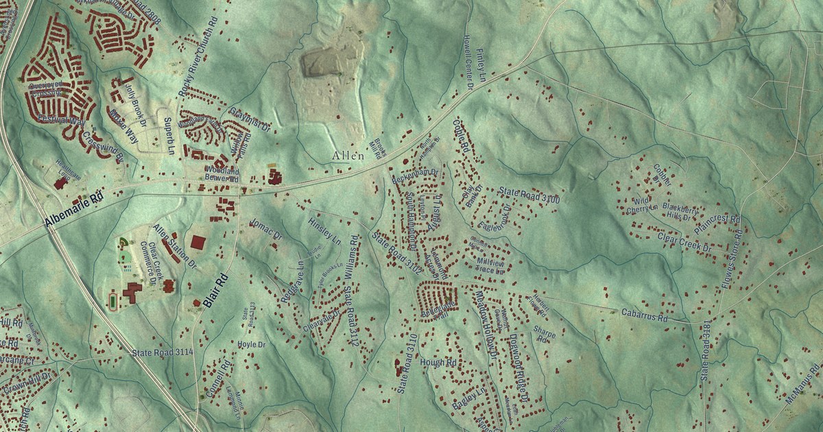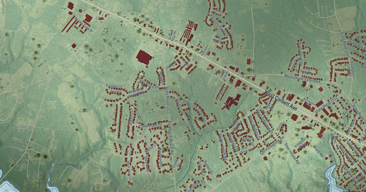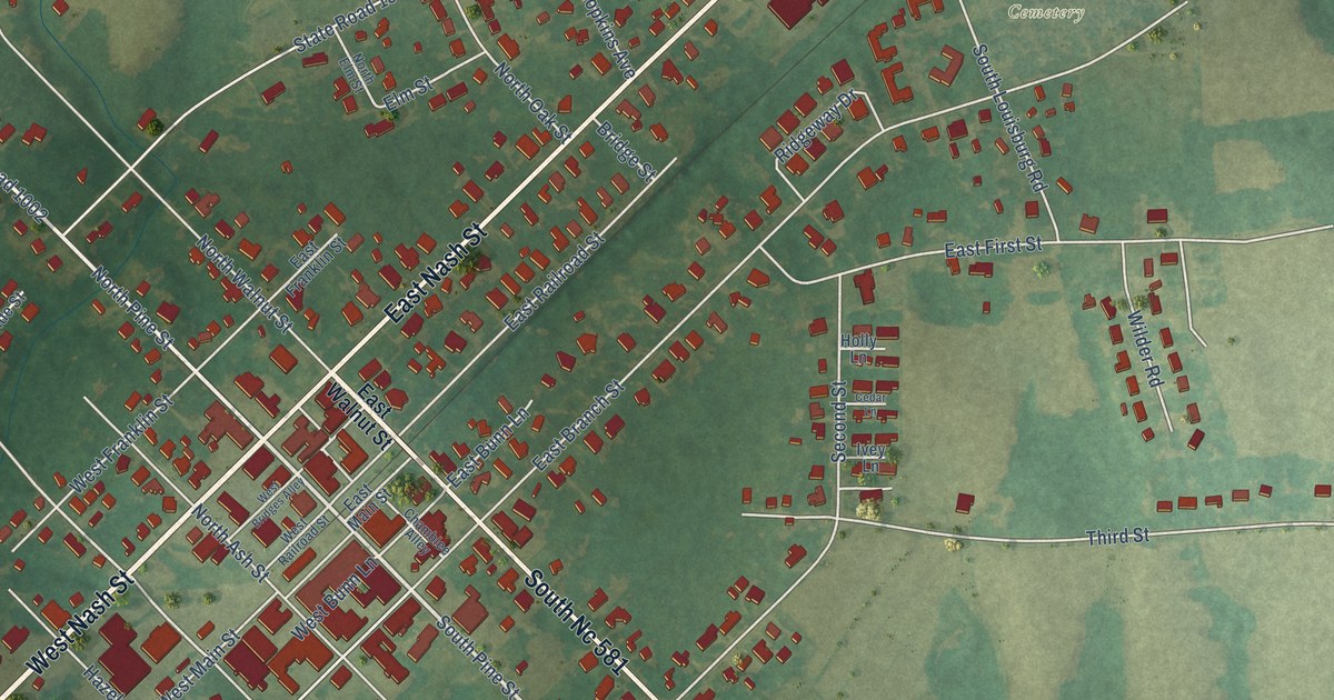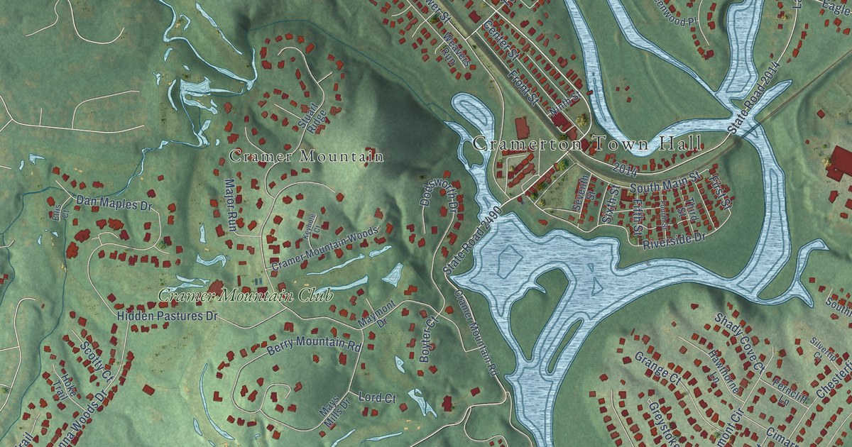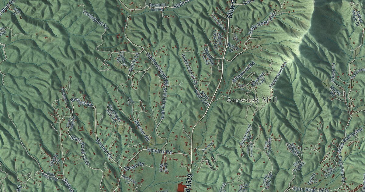
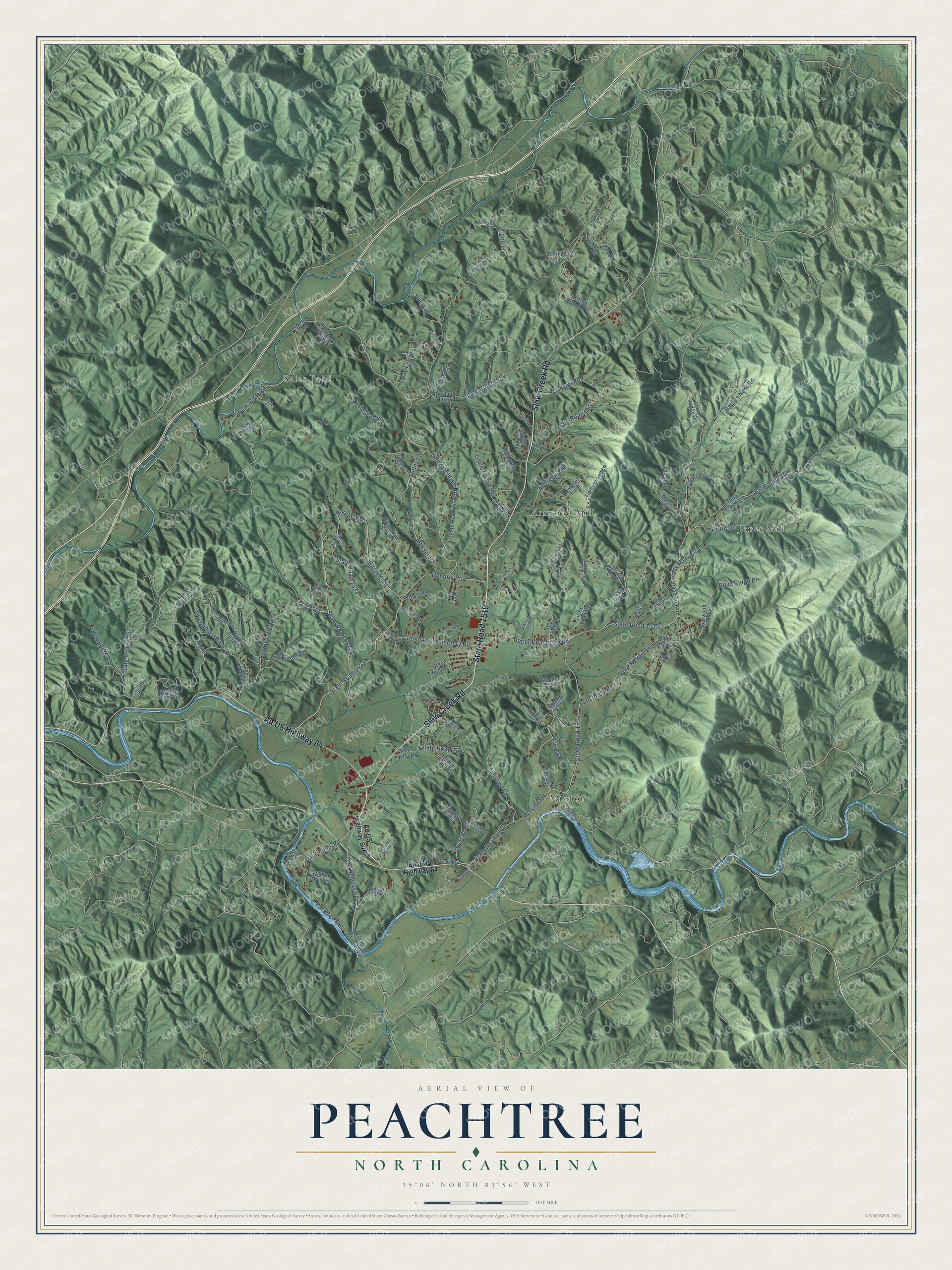
This beautifully detailed map of Peachtree, North Carolina was created in 2026 using aerial imagery combined with modern topographical, census, street and landmark data. It’s a one-of-a-kind view of Peachtree that combines accurate data with a vintage aesthetic. The map shows every building in its true location, many of the roads carry their names, and the shaded topographic relief shows the shape of the land.
Explore an aerial view of Peachtree, North Carolina
On the map you’ll find Arrwood Mill, Mission, Jones Mill, and Sales Ford, along with Slow Creek Road, State Road 1519, Alt US Highway 64, State Road 1535, Barnett Circle, State Road 1533, Fall Branch Road, Greenlawn Cemetery Road, and more. If you look closely you can even find your house accurately drawn in its correct location. Zoom in on the preview to look for yours.
Did You Know?
From Internet Archive: "Three engagements occurred near Atlanta: the battles of Peachtree Creek, July 20; Atlanta, July 22; and Ezra Church, July Erra Church. 28."
Peachtree is a community in Cherokee County.
Take a closer look at the Peachtree map
Names on this map
These names are printed on this map.
Places: Arrwood Mill, Mission, Jones Mill and Sales Ford.
Streets and roads: Slow Creek Road, State Road 1519, Alt US Highway 64, State Road 1535, Barnett Circle, State Road 1533, Fall Branch Road, Greenlawn Cemetery Road, State Road 1531, Hendrix Road, State Road 1554, Upper Peachtree Road.
More street names, A to Z
Angel Lane, Appletree Lane, Arrowood Road, Bald Eagle Peak, Barnett Road, Bill Barker Road, Bishop Lane, Black Bear Hollow, Black Walnut Lane, Bow Lane, Boyd Ridge Drive, Bruce Drive, Canyon Road, Catbird Road, Cherry Lane, Clayton Road, Cliffside Drive, Cornwell Lane, Day Lily Drive, Daylily Drive, Deep Forest Road, Deer Way, Divide Road, Drew Taylor Road, Eagles Nest Road, East US Highway 64, Easy Street, Echo Farm, Fall Branch Lane, Ferguson Road, Fred Carson Road, Frog Pond Lane, Gentry Lane, Goldie Garrett Road, Green Acorn Lane, Green Apple Lane, Green Lawn Road, Grey Fox Lane, Griffith Road, Hammock Trail, Hawkeye Trail, Indian Ridge Drive, Lee Sneed Drive, Lisa Lane, Little Oak Lane, Lizzie Elliot Road, Lodge Lane, Long Branch Road, Long Ridge Road, Loop Lane, Loop Road, Louise Lane, Lovingood Road, Lunsford Road, Matthew Road, McCombs Road, Memory Lane, Messer Road, Mission Dam Road, Mission Ridge Road, Mission Road, Moore Road, Mountain Top Road, Mount View Trail, Myers Br Road, Oakwood Drive, Old Highway 64, Old Peachtree Road, Pace Road, Paradise Road, Peachtree Hills Road, Peachtree Road, Piney Ridge Road, Pipes Branch, Raccoon Ridge, Red Belt Lane, Right Field Drive, River Lane, Rowland Hill Road, Scottie Mountain Circle, Seldom Seen Lane, Shadow Pines, Shadow Pond Drive, Sheridan Hills Road, Sky Trek Drive, Sourwood Hollow, Sourwood Lane, State Road 1527, State Road 1529, State Road 1532, State Road 1536, State Road 1537, State Road 1539, State Road 1540, State Road 1542, State Road 1544, State Road 1546, State Road 1548, State Road 1550, State Road 1551, State Road 1555, State Road 1656, Stowe Road, Sugarwood Drive, Sunny Lane, Sweetwater Lane, Timber Lane, Timberwood Lane, Timpson Road, Trail's End Road, Tyler Lane, Valhalla Trail, Waters Edge Run, Wells Bluff Road, Wells Road, Well Street, Wild Wolf Run, Will Scott Road, Wren's Nest Trail.
See it on a wall
The Peachtree map as a framed print. Swipe for more.


This beautifully detailed map of Peachtree makes an attractive addition to your office, library, or den, and it can even be used to teach children the geography and history of the area. It also makes a great gift for anyone who grew up in Peachtree or moved away. When you’re done exploring, click here to get your copy of the Peachtree map.