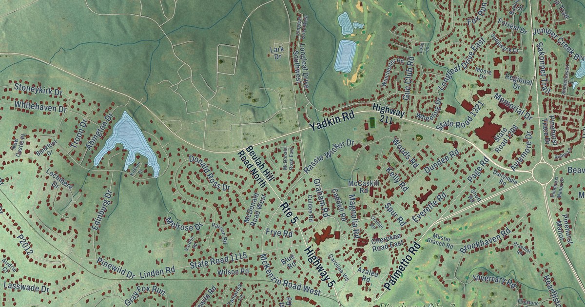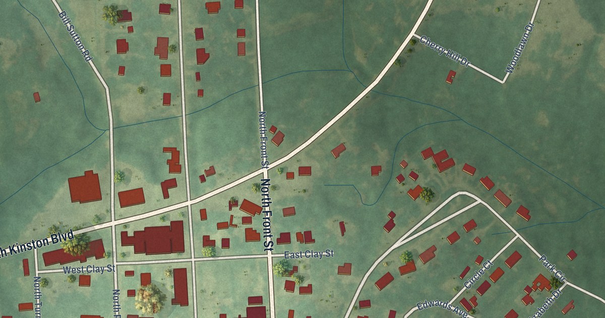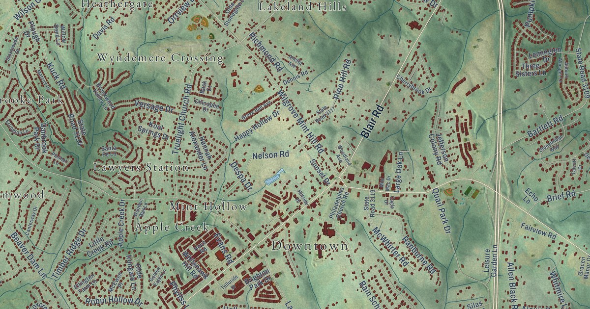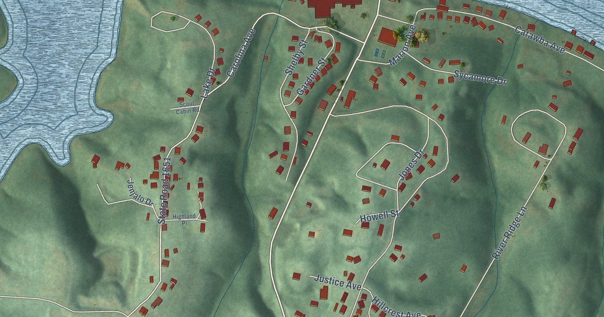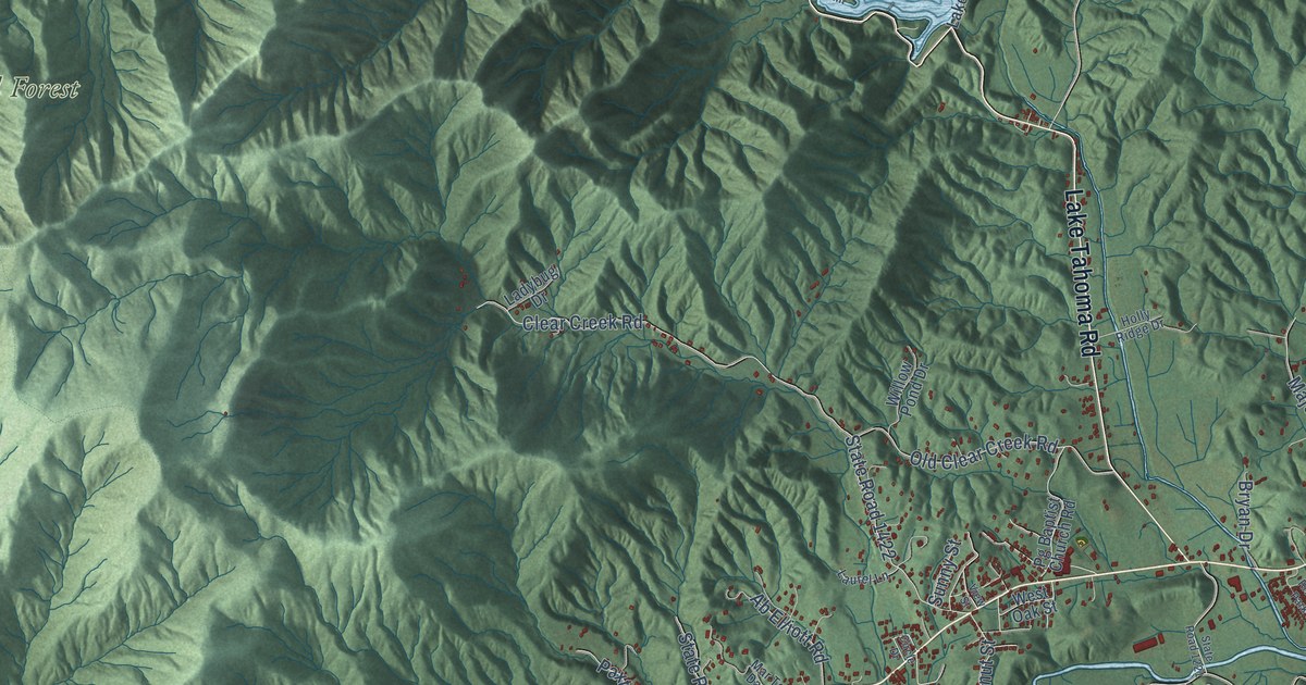
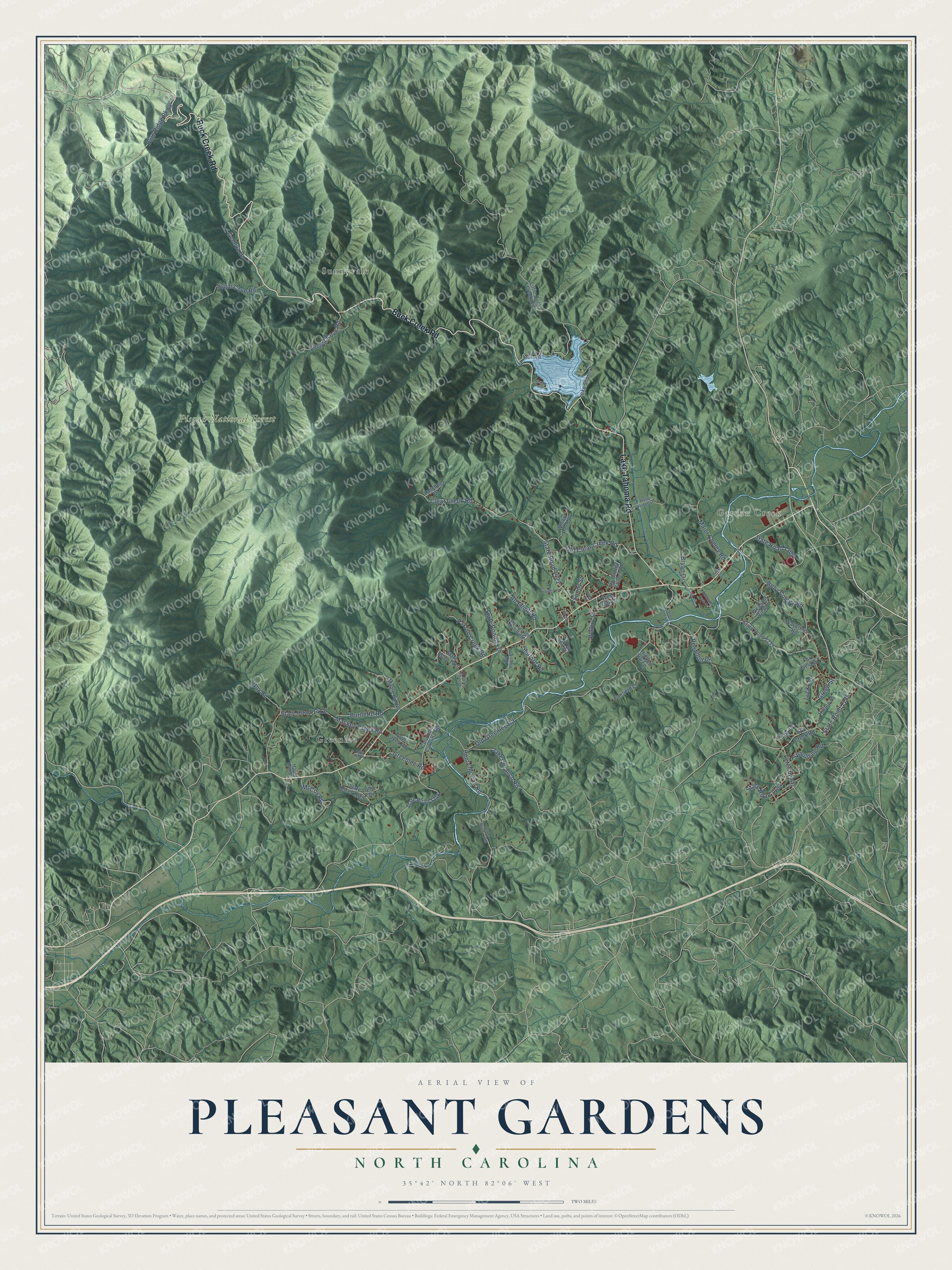
This beautifully detailed map of Pleasant Gardens, North Carolina was created in 2026 using aerial imagery combined with modern topographical, census, street and landmark data. It’s a one-of-a-kind view of Pleasant Gardens that combines accurate data with a vintage aesthetic. The map shows every building in its true location, many of the roads carry their names, and the shaded topographic relief shows the shape of the land.
Explore an aerial view of Pleasant Gardens, North Carolina
On the map you’ll find Garden Creek, Pisgah National Forest, Greenlee, and Sunnyvale, along with Buck Creek Road, Lake Tahoma Road, Blue Ridge Parkway, State Road 1195, Greenlee Road, Veterans Drive, Old Greenlee Road, Clear Creek Road, and more. If you look closely you can even find your house accurately drawn in its correct location. Zoom in on the preview to look for yours.
Did You Know?
From Internet Archive: "The church at Pleasant Gardens must have been a name without a local habitation, or it was the church established in the Greenlee settlement on the Upper Catawba, whose organization. ha£ continued up to the present time."
Pleasant Gardens is a community in McDowell County.
Take a closer look at the Pleasant Gardens map
Names on this map
These names are printed on this map.
Places: Garden Creek, Pisgah National Forest, Greenlee and Sunnyvale.
Streets and roads: Buck Creek Road, Lake Tahoma Road, Blue Ridge Parkway, State Road 1195, Greenlee Road, Veterans Drive, Old Greenlee Road, Clear Creek Road, State Road 1422, Mackey Creek Road, State Road 1412, Henry McCall Road.
More street names, A to Z
Ab Elliott Road, Allie Drive, Bryan Drive, Burnette Road, Circle Drive, Columbia Carolina Road, Fairfield Lane, Forest Hill Drive, Fox Field Drive, Geneva Drive, Gowan Point, Green Street, Guy Road, Hidden Vw Lp, Hilltop Drive, Holly Ridge Drive, Jakes Branch Road, Ladybug Drive, Lake Shore Drive, Laurel Lane, Little Buck Creek Road, Locust Cove Road, Lucky Street, Major Conley Road, Maple Hill Road, Marie Lynn Drive, Mar Terrace Dan Ridge, McCoy Road, Nix Creek Road, Old Clear Creek Road, Old River Road, Paxton Creek Road, Pg Baptist Church Road, Pleasant View Drive, Rays Hill Drive, Redwood Drive, Riverside Park Drive, Roby Conley Road, Shuford Road, Spaulding Road, State Road 1194, State Road 1214, State Road 1221, State Road 1229, State Road 1245, State Road 1246, State Road 1302, State Road 1415, State Road 1418, State Road 1436, Sugar Cove Road, Sunny Street, Terry Lane, Troy Terrace, Twin Lakes Road, View Street, Walnut Street, Waycross Road, West Oak Street, Willow Pond Drive, Woody Farm Drive.
See it on a wall
The Pleasant Gardens map as a framed print. Swipe for more.


This beautifully detailed map of Pleasant Gardens makes an attractive addition to your office, library, or den, and it can even be used to teach children the geography and history of the area. It also makes a great gift for anyone who grew up in Pleasant Gardens or moved away. When you’re done exploring, click here to get your copy of the Pleasant Gardens map.