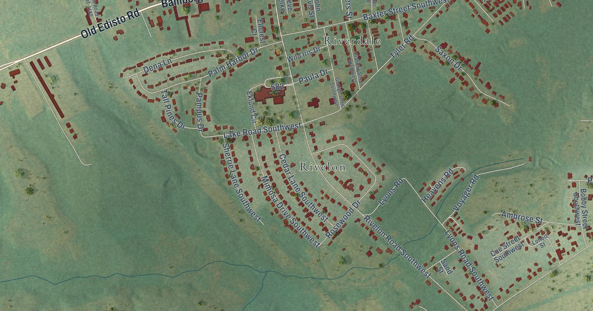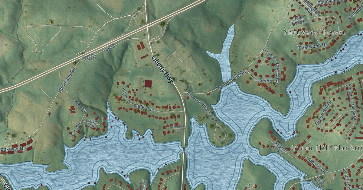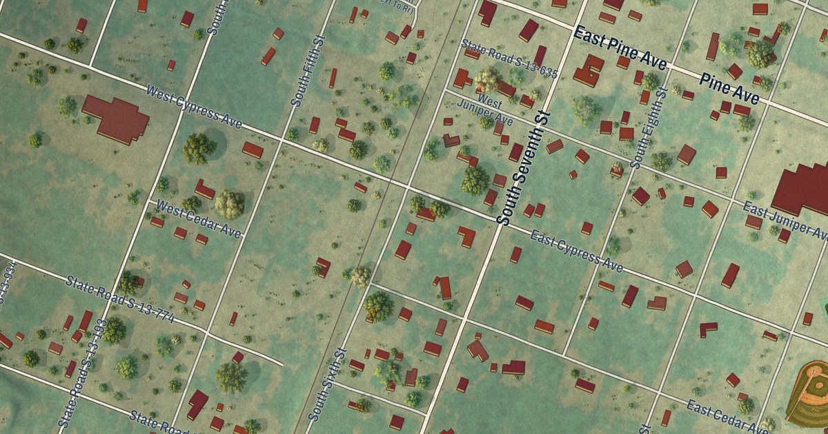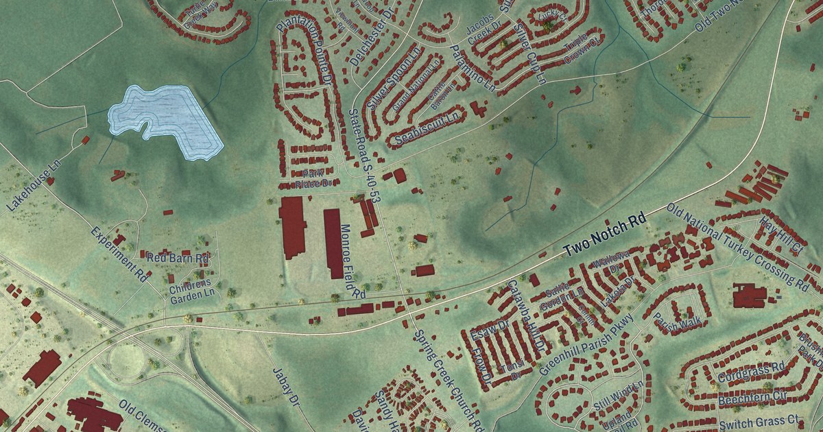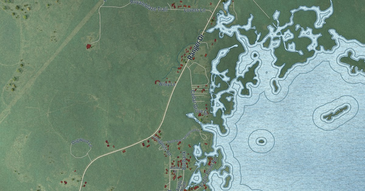
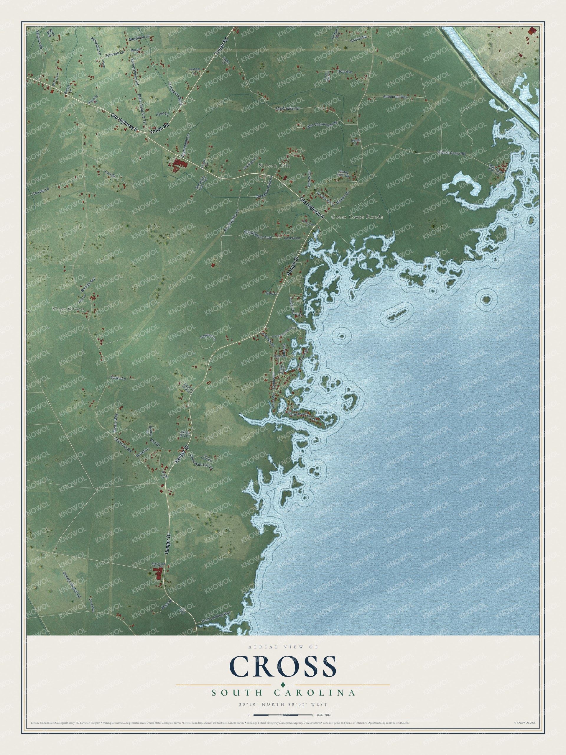
This beautifully detailed map of Cross, South Carolina was created in 2026 using aerial imagery combined with modern topographical, census, street and landmark data. It’s a one-of-a-kind view of Cross that combines accurate data with a vintage aesthetic. The map shows every building in its true location, many of the roads carry their names, and the shaded topographic relief shows the shape of the land.
Explore an aerial view of Cross, South Carolina
On the map you’ll find Moss Grove, Nelson Hill, and Longpoint, along with Old Highway 6, Ranger Drive, Trojan Road, Short Cut Road, Saint Julian Drive, Blacks Camp Road, George Wigfall Road, State Road S-8-971, Spring Plains Road, and more. If you look closely you can even find your house accurately drawn in its correct location. Zoom in on the preview to look for yours.
Did You Know?
From Internet Archive: "Charles Manship, of Marlborough, and came down into Marion and first settled near what was then called Bethea's Cross Roads, in the early part of the nineteenth century."
Cross is a community in Berkeley County.
Take a closer look at the Cross map
Names on this map
These names are printed on this map.
Places: Moss Grove, Nelson Hill and Cross Cross Roads.
Streets and roads: Old Highway 6, Ranger Drive, Trojan Road, Longpoint, Short Cut Road, Saint Julian Drive, Blacks Camp Road, George Wigfall Road, State Road S-8-971, Spring Plains Road, State Road S-8-717, Royalegates Court.
More street names, A to Z
Abraham Lane, Airbourne Way, Allenby Street, Aussie Way, Belk Circle, Boat Landing Way, Bolt Drive, Boo Chaw Farm Road, Breeze Lane, Browns Family Place, Buffalo Lane, Burbank, Capersfield Lane, Causey Lane, Cedar Grove Lane, Cherokee Path Lane, Chisolm Lane, Chocolate Lab Lane, Collins Road, Colt Drive, Country Pond Lane, Cross Bay Lane, Daves Lane, Derrys Lane, Dixie Land Way, Dogwood Lane, Dora Way, Eagle Point, Eagle Point Road, Esau Lane, Fryes Lane, Gardeners Walk, Gospel Lane, Grady Lane, Harley Circle, Hazel Lane, Hester Lane, Holy Avenue, Honey Hush Road, Jehovah Lane, Keneshia Lane, Longpoint Road, Lovers Lane, Maes Place, Mayphine Lane, Nelson Avenue, Nelsonridge Court, Prince Lane, Priscilla Lane, Royaleblaze Trail, Sanders Road, South And Campground Lane, Spirit Way, State Road S-8-354, State Road S-8-1141, Summer Hill Lane, Sweatman Deer Trail, Tam Lane, Thirteen Way, Wares Run, Wiley Lane, Yeahaw Lane.
See it on a wall
The Cross map as a framed print. Swipe for more.


This beautifully detailed map of Cross makes an attractive addition to your office, library, or den, and it can even be used to teach children the geography and history of the area. It also makes a great gift for someone who left Cross and still calls it home. When you’re done exploring, click here to get your copy of the Cross map.