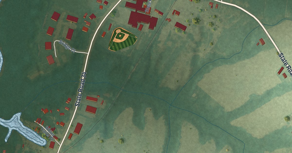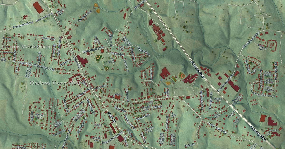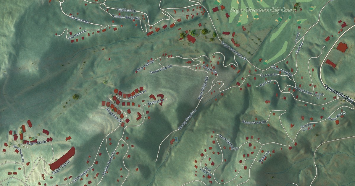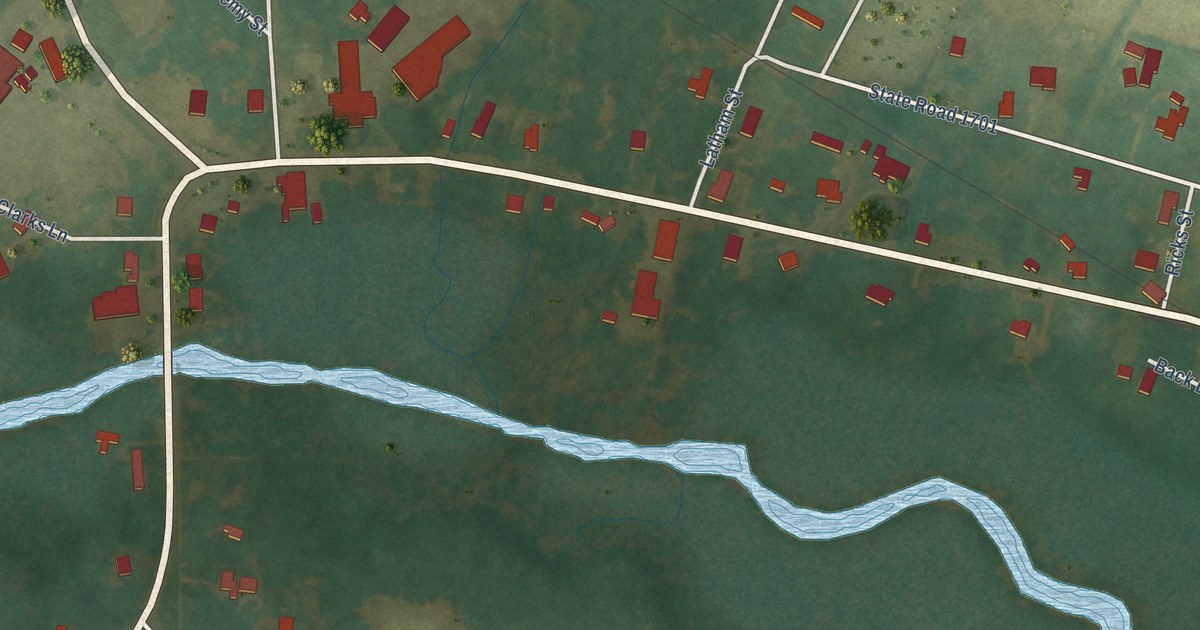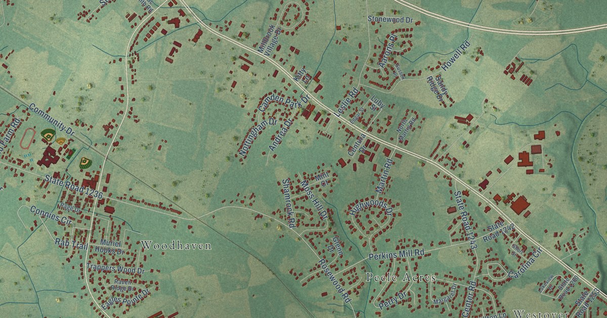
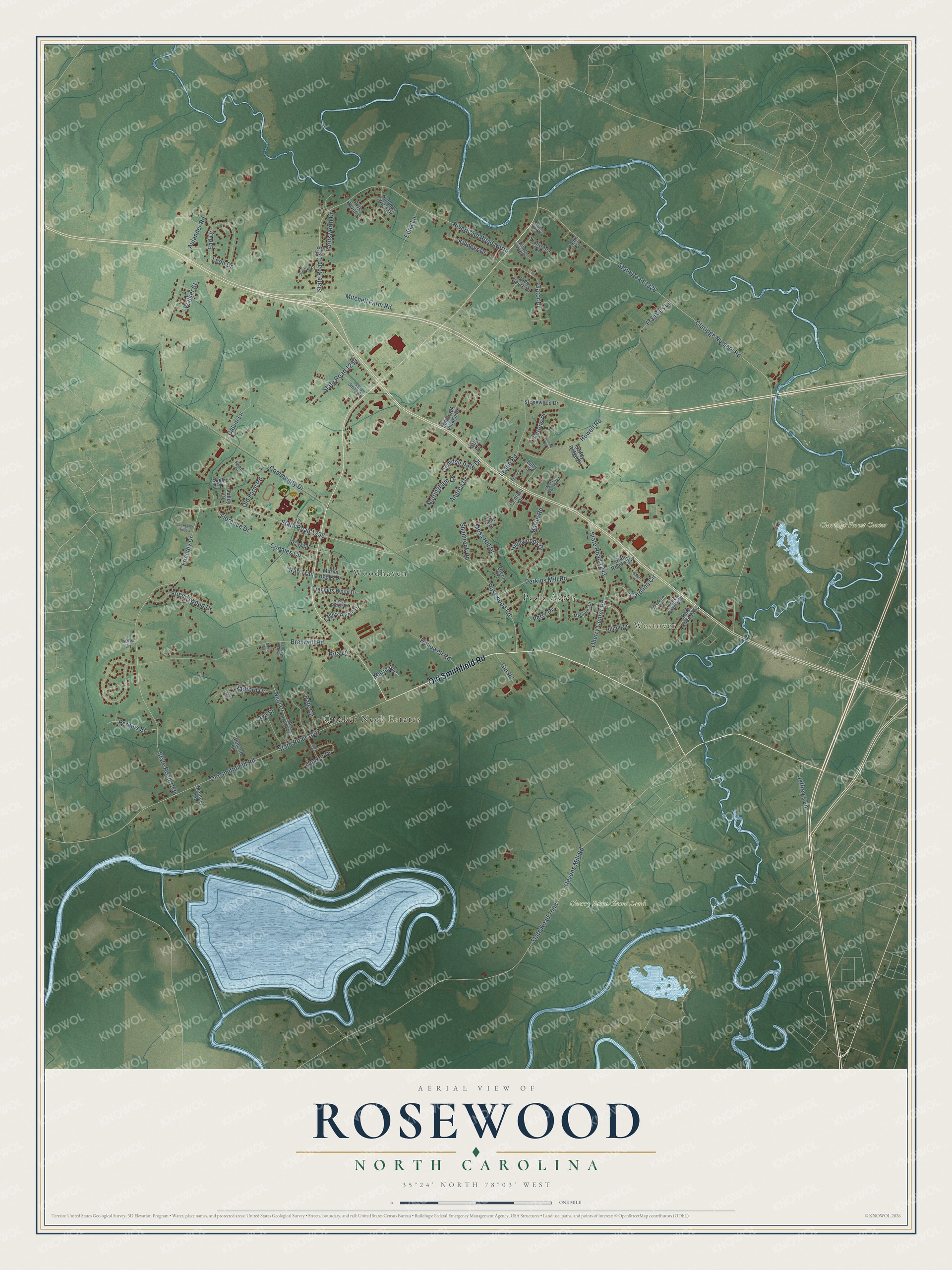
This beautifully detailed map of Rosewood, North Carolina was created in 2026 using aerial imagery combined with modern topographical, census, street and landmark data. It’s a one-of-a-kind view of Rosewood that combines accurate data with a vintage aesthetic. The map shows every building in its true location, many of the roads carry their names, and the shaded topographic relief shows the shape of the land.
Explore an aerial view of Rosewood, North Carolina
On the map you’ll find Westover, Cherry Farm Game Land, Claridge Forest Center, Woodhaven, Quaker Neck Estates, and Peele Acres, along with Old Smithfield Road, Claridge Nursery Road, State Road 1326, State Road 1236, Rosewood Road, Community Drive, and more. If you look closely you can even find your house accurately drawn in its correct location. Zoom in on the preview to look for yours.
Take a closer look at the Rosewood map
Names on this map
These names are printed on this map.
Places: Westover, Cherry Farm Game Land, Claridge Forest Center, Woodhaven, Quaker Neck Estates and Peele Acres.
Streets and roads: Old Smithfield Road, Claridge Nursery Road, State Road 1326, State Road 1236, Rosewood Road, Community Drive, Braswell Road, Friendly Drive, State Road 1238, State Road 1007, Riverbend Road North, State Road 1329.
More street names, A to Z
Aarons Place, Andrea Drive, Askew Place, Aulander Road, Ava Street, Blessed Lane, Calvin Lane, Camden Park Drive, Carolina Circle, Centura Drive, Connies Circle, Eagle Place, Eagles Pointe Drive, Earl Drive, Edgar Street, Edna Lane, Farnsworth Drive, Fisher Drive, Florence Drive, Frankies Lane, Friendswood Drive, Gator Drive, Gin Road, Glenn Drive, Highwoods Drive, Hilltop Lane, Hollowell Road, Howell Road, Issac Smith Road, Jackson's Hollow, Jeffrey's Lane, John Deere Drive, Kayla Marie Lane, Killdeer Drive, Kitty Lane, Lakeview Drive, Leon Drive, Leslie Road, Luby Street, Mack Road, Margaret Drive, Marie Avenue, Martin Road, Mary Lane, Memory Lane, Mert Road, Millbrook Village Drive, Mint Court, Mitchell Farm Road, Moss Hill Drive, Muriel Hooks Drive, Neal Drive, North Martin Road, Nottingham Drive, Oberry Center Road, Old Farm Road, Page Drive, Pate Circle, Penn Circle, Perkins Mill Road, Perkins Street, Perry Drive, Quaker Drive, Rab Trail, Radford Drive, Raven Ridge Drive, Rita Lane, River Bluff Drive, River Haven Drive, Sandy Ridge Drive, Shamrock Road, Short Street, State Road 1008, State Road 1242, State Road 1243, State Road 1253, State Road 1259, State Road 1260, State Road 2134, Stevens Mill Road, Stonewood Drive, Summer Wind Drive, Sussex Place, Trailwater Drive, Trappers Wood Drive, Valley Drive, Village Grove Drive, Walker Street, Zeno Lane.
See it on a wall
The Rosewood map as a framed print. Swipe for more.


This beautifully detailed map of Rosewood makes an attractive addition to your office, library, or den, and it can even be used to teach children the geography and history of the area. It also makes a great gift for anyone who grew up in Rosewood or moved away. When you’re done exploring, click here to get your copy of the Rosewood map.