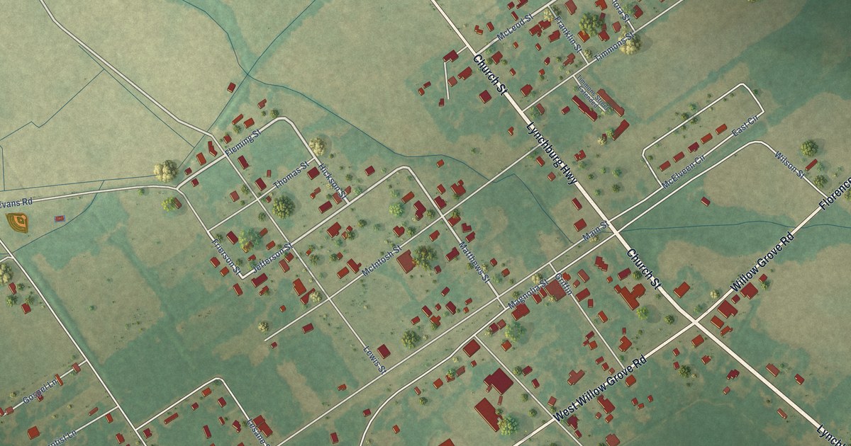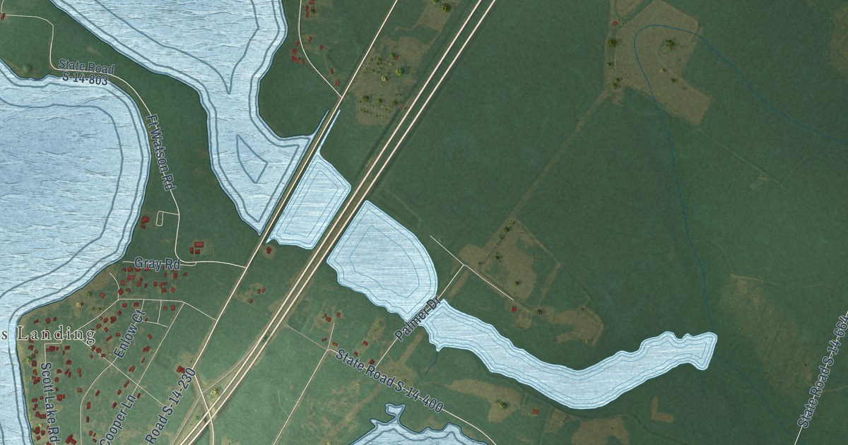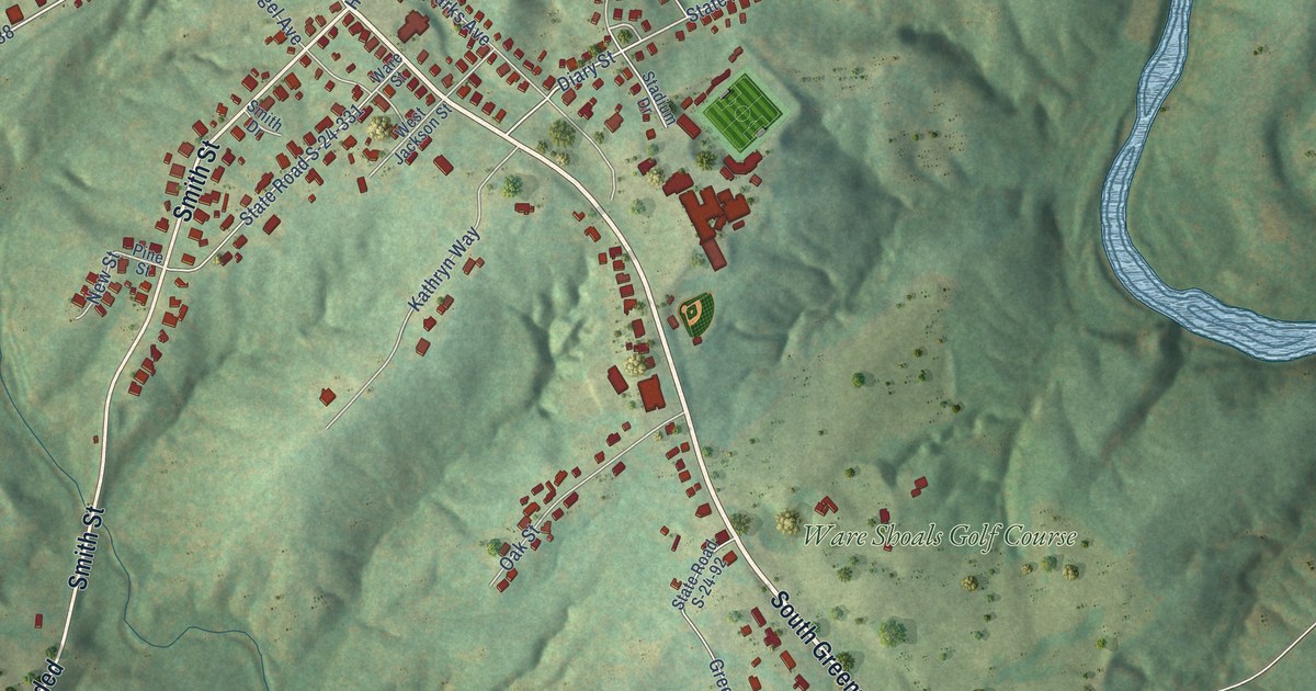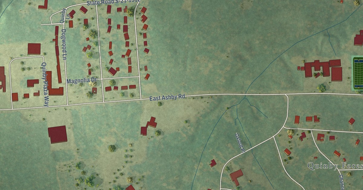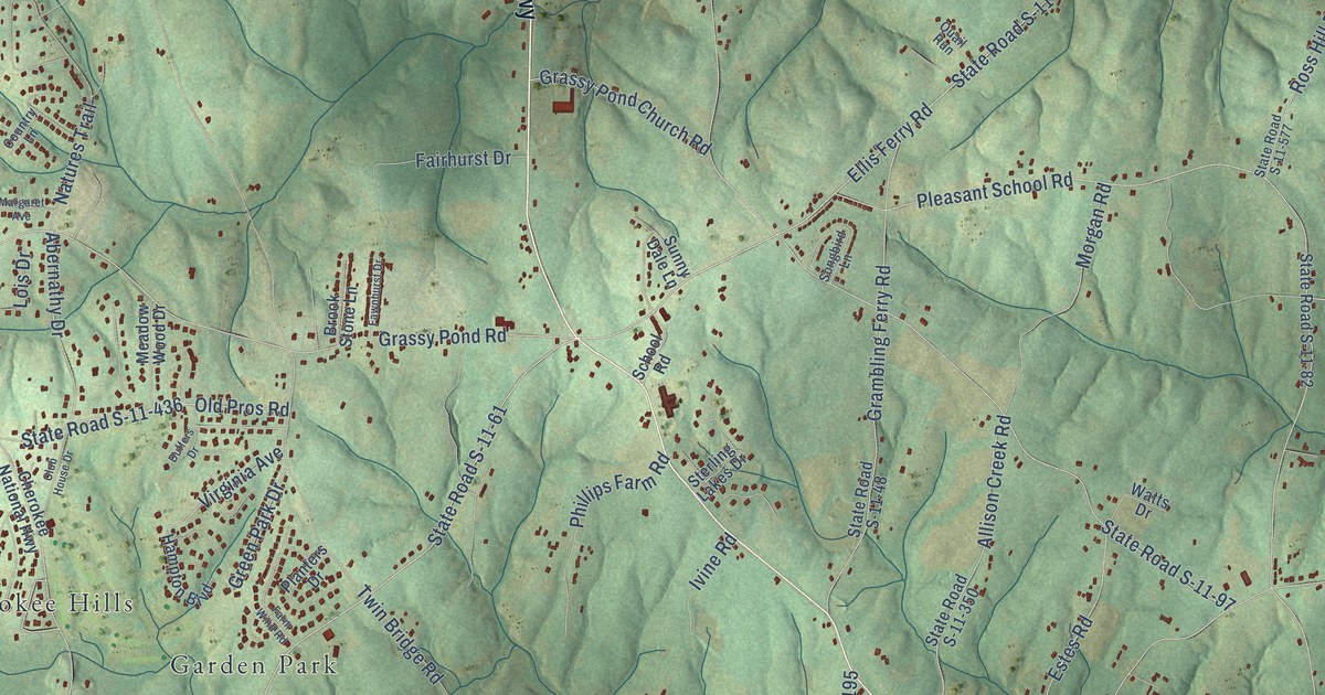
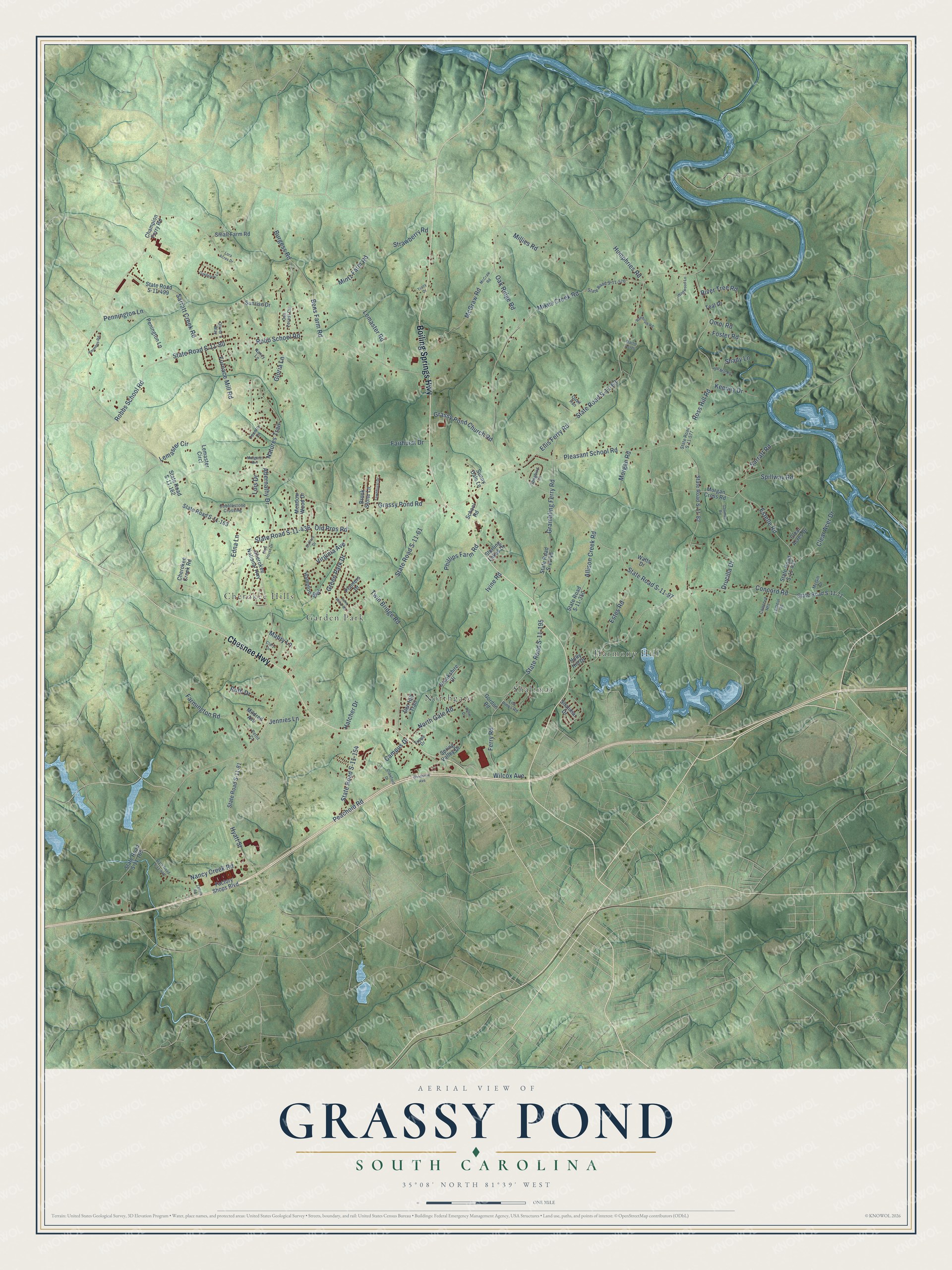
This beautifully detailed map of Grassy Pond, South Carolina was created in 2026 using aerial imagery combined with modern topographical, census, street and landmark data. It’s a one-of-a-kind view of Grassy Pond that combines accurate data with a vintage aesthetic. The map shows every building in its true location, many of the roads carry their names, and the shaded topographic relief shows the shape of the land.
Explore an aerial view of Grassy Pond, South Carolina
On the map you’ll find Northgate, Harmony Hill, Cherokee Hills, Garden Park, and Shalimar, along with Boiling Springs Highway, Chesnee Highway, State Road S-11-61, Ellis Ferry Road, Twin Bridge Road, State Road S-11-63, Oak Ridge Road, and more. If you look closely you can even find your house accurately drawn in its correct location. Zoom in on the preview to look for yours.
Take a closer look at the Grassy Pond map
Names on this map
These names are printed on this map.
Places: Northgate, Harmony Hill, Cherokee Hills, Garden Park and Shalimar.
Streets and roads: Boiling Springs Highway, Chesnee Highway, State Road S-11-61, Ellis Ferry Road, Twin Bridge Road, State Road S-11-63, Oak Ridge Road, State Road S-11-97, State Road S-11-80, Pleasant School Road, Concord Road, Robbs School Road.
More street names, A to Z
Abernathy Drive, Allison Creek Road, Ammons Road, Bens Farm Road, Brookshire Drive, Brook Stone Lane, Burgess Road, Campus Drive, Champion Ferry Road, Cherokee Creek Road, Cherokee National Highway, Clary Drive, Clear Acer Drive, Clear Acres Drive, Club House Drive, Cobblestone Crossing, Concord Heights, Country Lane, Crawford Drive, Den Hill Trail, Drucilla Drive, Duffers Drive, Edna Lane, Estelle Road, Estes Road, Factory Shops Boulevard, Fairhurst Drive, Farmington Road, Farm Wind Road, Fawnhurst Drive, Ferry Road, Foster Road, Furnace Mill Road, Gallman Road, Gloria Lane, Gordon Road, Grambling Ferry Road, Grassy Pond Church Road, Grassy Pond Road, Green Park Drive, Hampton Boulevard, Hatcher Drive, Holly Hill Drive, Humphries Road, Hyatt Street, Ivine Road, Jennies Lane, Keeney Drive, Lemaster Circl, Lemaster Circle, Lemaster Road, Lemeul Road, Lois Drive, Lora Acres Drive, Los Pinos Road, Mabry Lane, Margaret Avenue, Martin Acres, McCraw Road, McGill Drive, McGraw Road, Meadow Wood Drive, Mikes Creek Road, Mildred Avenue, Millies Road, Mintz Farm Road, Morgan Cross Road, Morgan Road, Nancy Creek Road, Nancy Lane, Natures Trail, North Gate Road, Oakbrook Lane, Oak Forest Circle, Old Mill Road, Old Pros Road, Oliver's Way, Omni Road, Peachoid Road, Penington Lane, Pennington Lane, Pettit Court, Phillips Farm Road, Planters Drive, Quail Run, Randolph Road, River Tree Road, Robb School Road, Ross Hill Road, Ruth Drive, Sallie Drive, Sarratt Creek Road, Sarratt Road, School Road, Shady Lane, Shalimar Drive, Small Farm Road, Songbird Lane, Spillway Road, Spring Valley Drive, State Road S-11-48, State Road S-11-71, State Road S-11-81, State Road S-11-82, State Road S-11-154, State Road S-11-162, State Road S-11-163, State Road S-11-165, State Road S-11-195, State Road S-11-350, State Road S-11-431, State Road S-11-436, State Road S-11-440, State Road S-11-499, State Road S-11-576, State Road S-11-577, Sterling Lakes Drive, Strawberry Road, Sunny Dale Lane, Sunrise Drive, Teal Drive, Tracy Drive, Tuppe Drive, Virginia Avenue, Watts Drive, Wilcox Avenue, Wildwood Lane, Windslow Avenue, Zelure Road.
See it on a wall
The Grassy Pond map as a framed print. Swipe for more.


This beautifully detailed map of Grassy Pond makes an attractive addition to your office, library, or den, and it can even be used to teach children the geography and history of the area. It also makes a great gift for someone who left Grassy Pond and still calls it home. When you’re done exploring, click here to get your copy of the Grassy Pond map.