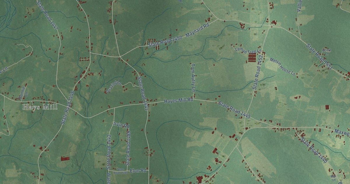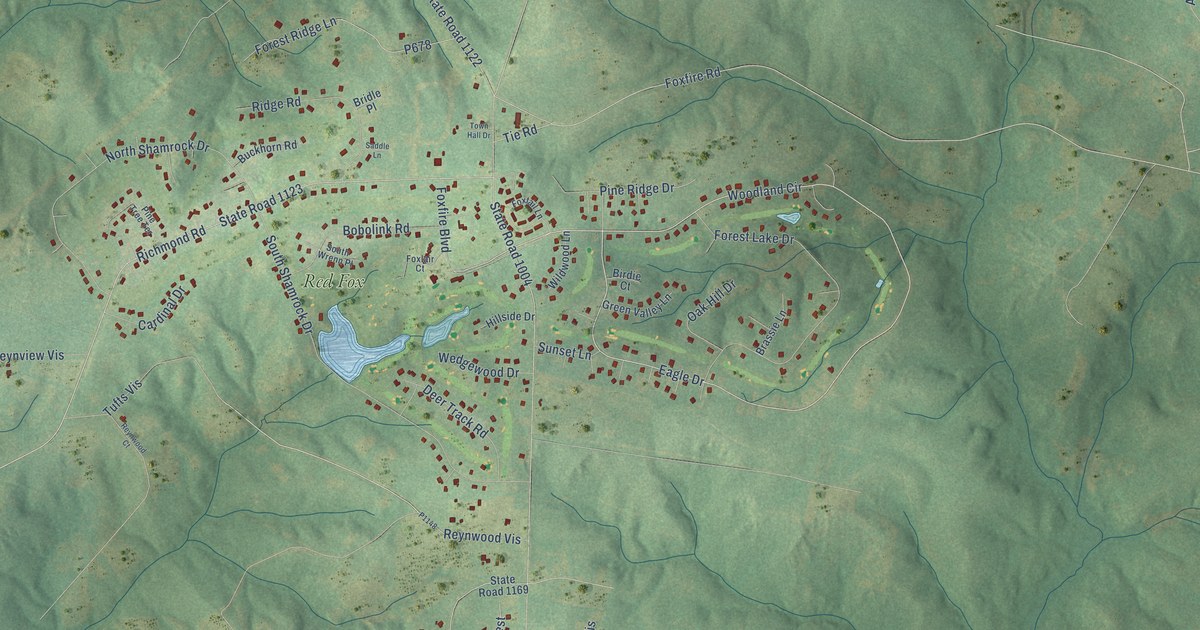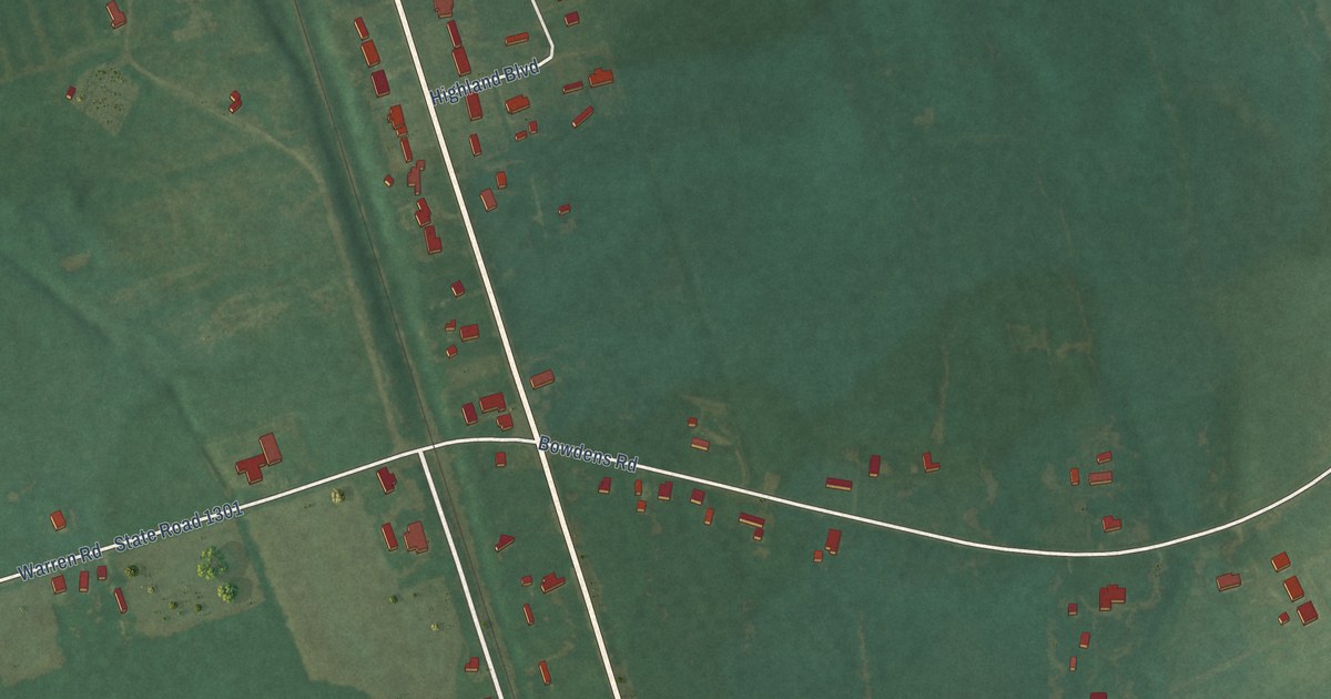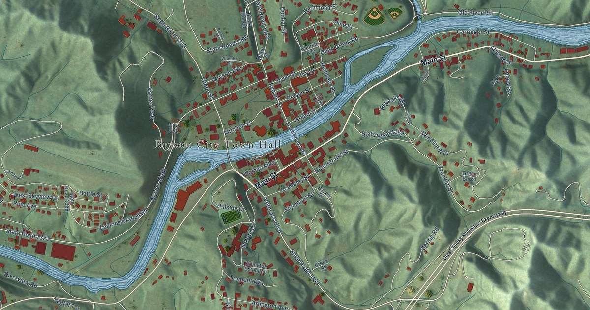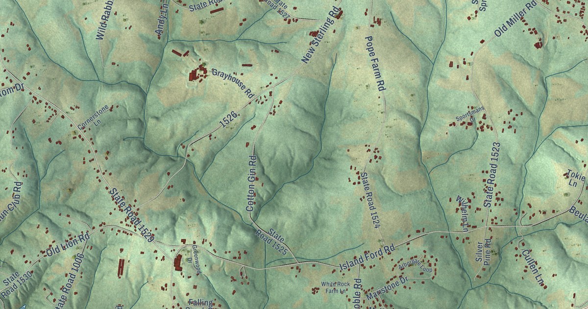
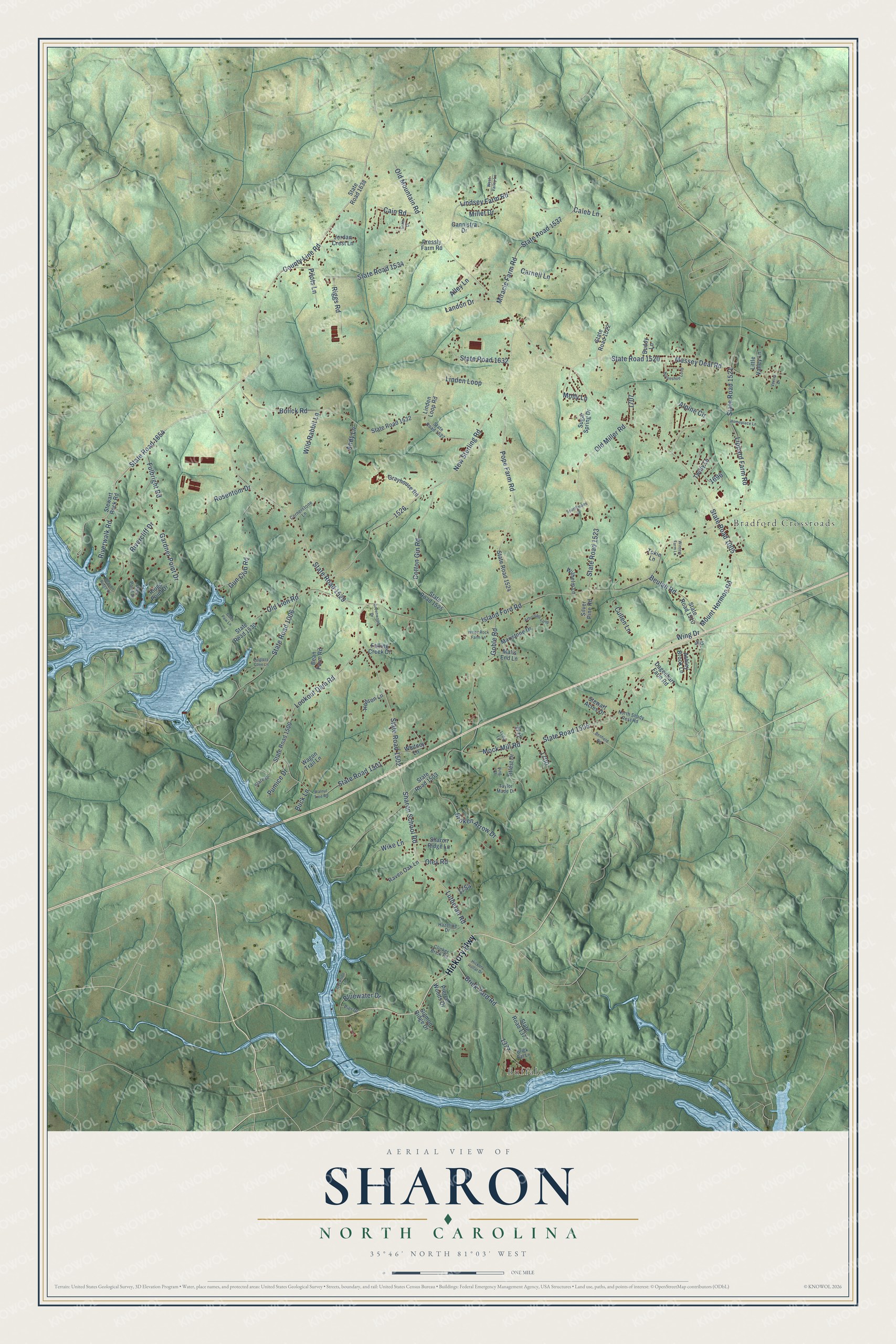
This beautifully detailed map of Sharon, North Carolina was created in 2026 using aerial imagery combined with modern topographical, census, street and landmark data. It’s a one-of-a-kind view of Sharon that combines accurate data with a vintage aesthetic. The map shows every building in its true location, many of the roads carry their names, and the shaded topographic relief shows the shape of the land.
Explore an aerial view of Sharon, North Carolina
On the map you’ll find Buffalo and Bradford Crossroads, along with Hickory Highway, State Road 1654, State Road 1529, County Line Road, Sharon School Road, State Road 1520, Island Ford Road, State Road 1006, Old Mountain Road, State Road 1005, and more. If you look closely you can even find your house accurately drawn in its correct location. Zoom in on the preview to look for yours.
Did You Know?
From Internet Archive: "The name Rose of Sharon was assumed by the Hopkins Grove Baptist Church, which is about six miles nortih of Durham, and which was organized in 1878 by this church."
Sharon is a community in Iredell County.
Take a closer look at the Sharon map
Names on this map
These names are printed on this map.
Places: Buffalo and Bradford Crossroads.
Streets and roads: Hickory Highway, State Road 1654, State Road 1529, County Line Road, Sharon School Road, State Road 1520, Island Ford Road, State Road 1006, Old Mountain Road, State Road 1005, State Road 1505, State Road 1502.
More street names, A to Z
Alley Lane, Alpine Circle, Andy Lane, Anglers Cove Lane, Arborgate Loop, Ashley Brook Lane, Bc Drive, Beacon Ridge Drive, Bean Farm Road, Benfield Road, Beulah Road, Bluewater Drive, Bolick Road, Brick Bat Lane, Brick Yard Road, Broken Arrow Drive, Buck Lane, Buddy Lane, Cain Road, Caleb Lane, Cannistra Drive, Carnell Lane, Clinker Brick Road, Cornerstone Lane, Cotton Gin Road, Cubs Paw Lane, Cullen Lane, Dagenhart Farm Road, Dockside Lane, Falling Creek Drive, Fulbright Road, Gardner Point Drive, Goble Road, Grain Drive, Grayhouse Road, Greenwood Drive, Gun Club Road, Hazeline Drive, Hickory Hollar Drive, Homeplace Lane, Horseshoe Loop, Hudson Lane, Jordan Crest Lane, Landon Drive, Linden Loop, Linden Loop Road, Lindsey Farm Road, Lippard Farm Road, Little Valley Lane, Lookout Dam Road, Lutheran Road, Lydia Lane, Malis End Lane, Maristone Drive, Massey Deal Road, Millet Drive, Miracle Farm Road, Mock Mill Road, Molly Lane, Mount Hermon Road, New Sterling Road, North Shady Rest Road, Old Lion Road, Old Miller Road, Oley Road, Pierce Woods Drive, Pier Drive, Pier Point Drive, Pilots Lane, Ping Court, Pope Farm Road, Pressly Farm Road, Pumice Drive, Raven Oak Lane, Ridge Point Drive, Riggs Road, Rivercliff Drive, Riverwalk Road, Rosentom Drive, Sharon Ridge Lane, Sigmon Ridge Drive, Silver Pine Road, Slate Drive, Sportsmans Drive, State Road 1377, State Road 1500, State Road 1501, State Road 1503, State Road 1510, State Road 1521, State Road 1522, State Road 1523, State Road 1524, State Road 1525, State Road 1527, State Road 1530, State Road 1532, State Road 1534, State Road 1537, State Road 1632, State Road 1638, Stewart Acres Drive, Stewart Rock Road, Sugar Spring Drive, Taylor Made Drive, Titlest Drive, Tokie Lane, Twitty Lane, Vectra Drive, Wagon Trail Lane, Walnut Tree Road, West Valley Lane, White Rock Farm Lane, Whitney Lane, Wike Lane, Wild Rabbit Lane, Wilhelm Lane, Wing Drive, Winters Farm Lane.
See it on a wall
The Sharon map as a framed print. Swipe for more.


This beautifully detailed map of Sharon makes an attractive addition to your office, library, or den, and it can even be used to teach children the geography and history of the area. It also makes a great gift for anyone who grew up in Sharon or moved away. When you’re done exploring, click here to get your copy of the Sharon map.