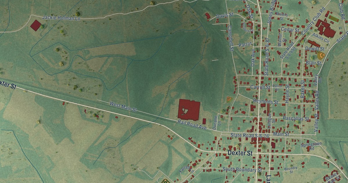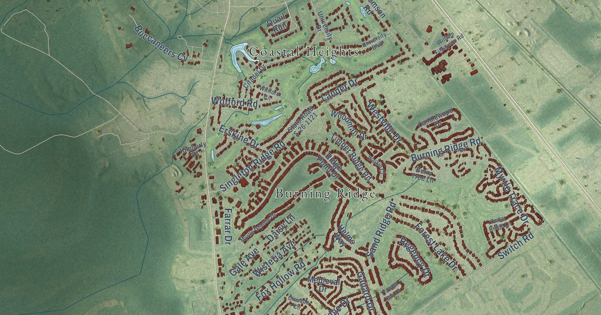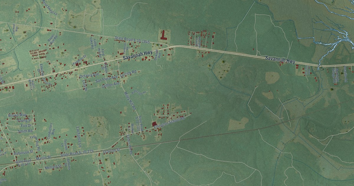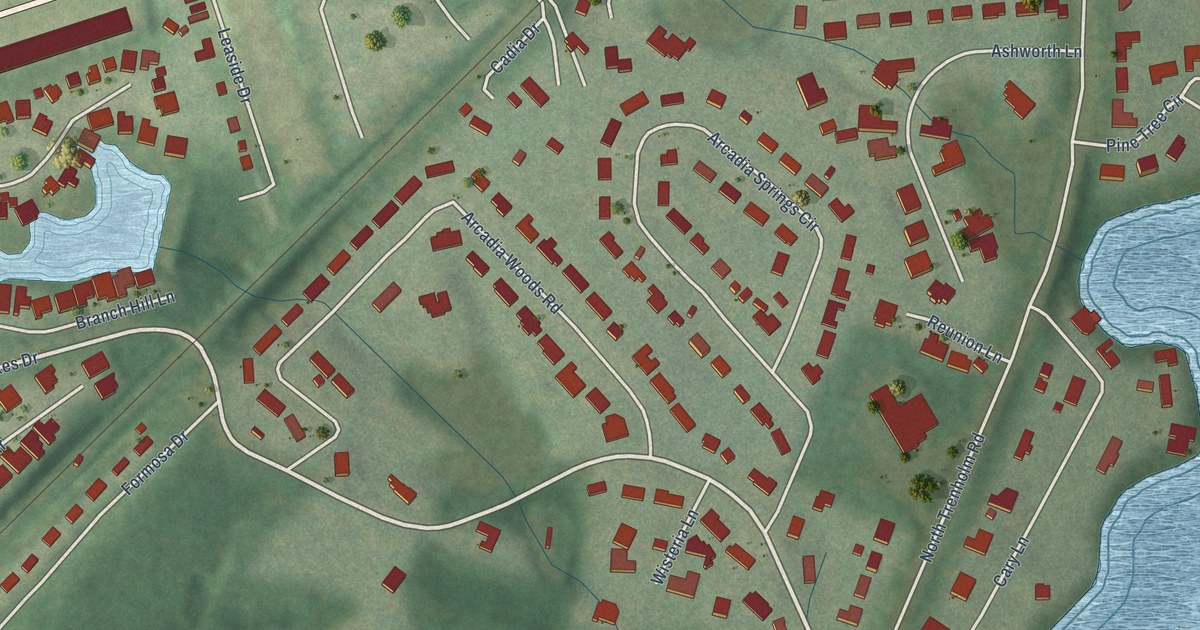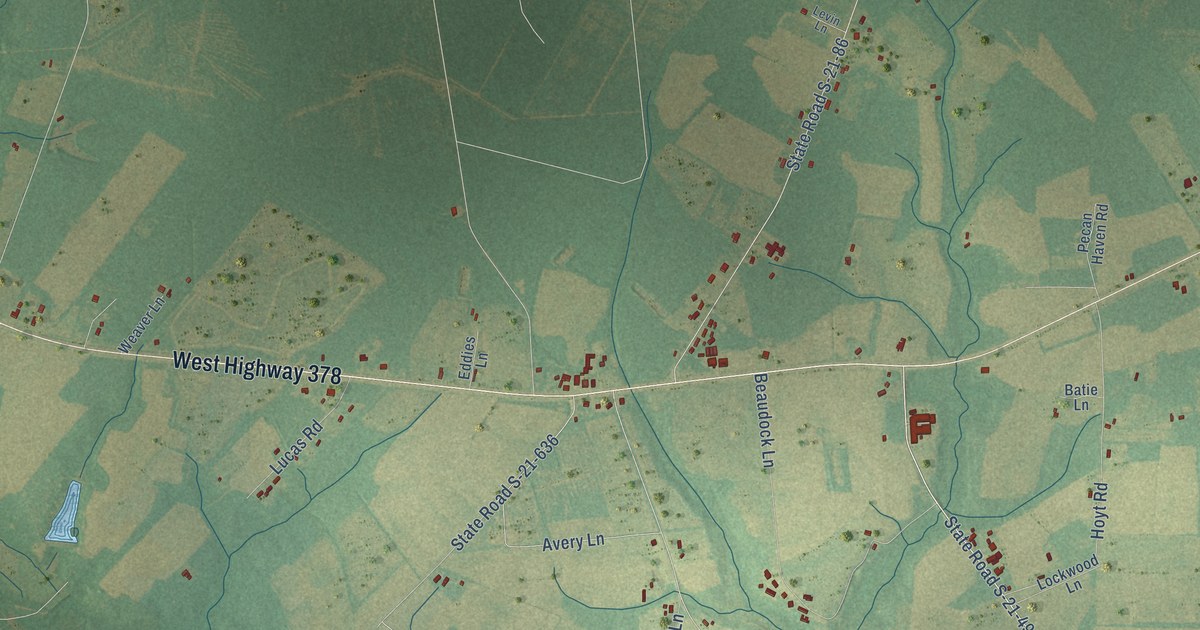
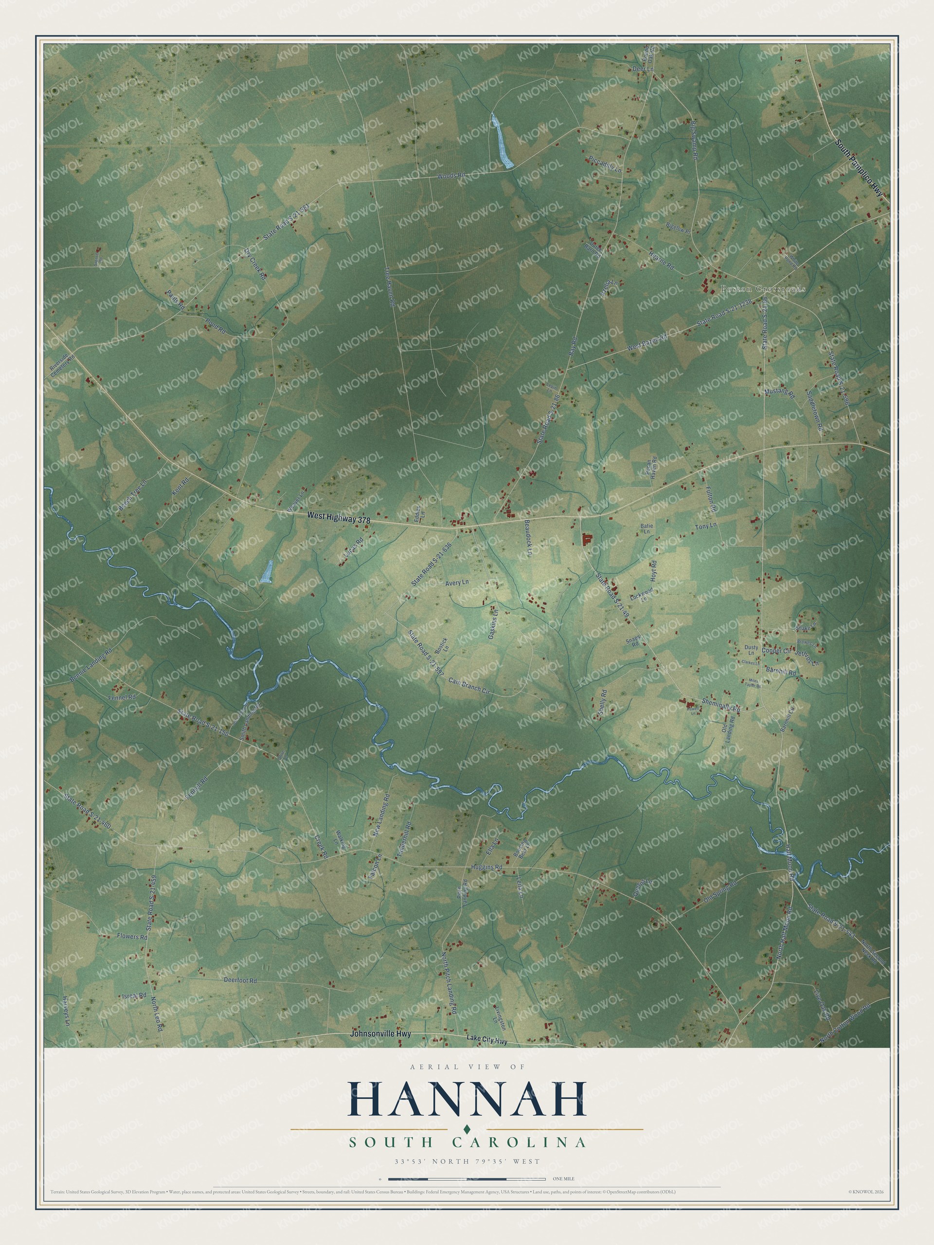
This beautifully detailed map of Hannah, South Carolina was created in 2026 using aerial imagery combined with modern topographical, census, street and landmark data. It’s a one-of-a-kind view of Hannah that combines accurate data with a vintage aesthetic. The map shows every building in its true location, many of the roads carry their names, and the shaded topographic relief shows the shape of the land.
Explore an aerial view of Hannah, South Carolina
On the map you’ll find Poston Crossroads, along with West Highway 378, Johnsonville Highway, South Pamplico Highway, State Road S-21-49, Sheminally Road, North Half Moon Road, State Road S-21-66, West Bazen Road, Cooper Circle, State Road S-21-543, North Pitch Landing Road, and more. If you look closely you can even find your house accurately drawn in its correct location. Zoom in on the preview to look for yours.
Did You Know?
From Internet Archive: "Andrew De Veaux was the son of Andrew De Veaux and Hannah, daughter of Colonel John Palmer and Elizabeth, daughter of Edmund Bellinger, First Landgrave of the name in Carolina."
Hannah is a community in Florence County.
Take a closer look at the Hannah map
Names on this map
These names are printed on this map.
Places: Poston Crossroads.
Streets and roads: West Highway 378, Johnsonville Highway, South Pamplico Highway, State Road S-21-49, Sheminally Road, North Half Moon Road, State Road S-21-66, West Bazen Road, Cooper Circle, State Road S-21-543, North Pitch Landing Road, Cain Branch Circle.
More street names, A to Z
Avery Lane, Azelia Lane, Barnhill Circle, Barnhill Road, Batie Lane, Bay Road, Beaudock Lane, Beech Tree Lane, Bennie Landing Road, Bigelow Place, Big Swamp Road, Bostick Lane, Boucing Bear Lane, Browns Lane, Clarkes Lane, Creek Road, Deerfoot Road, Deer Lane, Dry Creek Road, Dusty Lane, Dutch Barn Road, Eddies Lane, Ella Lane, Falcon Lane, Fennell Road, Fennel Road, Flowers Road, Fulton Road, Gaskins Lane, Half Moon Road, Harveys Lane, Hearne Road, Hoyt Road, Huggins Road, Isreal Road, Jeff Landing Road, Jethros Lane, Kent Road, Lake City Highway, Leila Lane, Levin Lane, Live Oak Road, Livingston Lane, Lockwood Lane, Lucas Road, Miles Taylor Road, Mustang Road, New Landing Road, North Cotton Wood Road, North Leo Road, North Second Neck Road, Old Landing Road, Old Spring Road, Olive Lane, Pauls Road, Pecan Haven Road, Piccadilly Lane, Pitch Landing Road, Pond Road, Powell Lane, Queens Lane, Riverside Cemetery Road, Round Oak Road, Saddletown Road, Shelly Road, Smith Landing Road, Snake Lane, Snaps Road, Spencer Road, State Road S-21-86, State Road S-21-150, State Road S-21-459, State Road S-21-460, State Road S-21-561, State Road S-21-596, State Road S-21-597, State Road S-21-636, State Road S-21-1238, Timberhill Road, Tony Lane, Tree Haven Road, Walking Lane, Weaver Lane, White Pond Road, Woods Road.
See it on a wall
The Hannah map as a framed print. Swipe for more.


This beautifully detailed map of Hannah makes an attractive addition to your office, library, or den, and it can even be used to teach children the geography and history of the area. It also makes a great gift for anyone with Hannah roots. When you’re done exploring, click here to get your copy of the Hannah map.