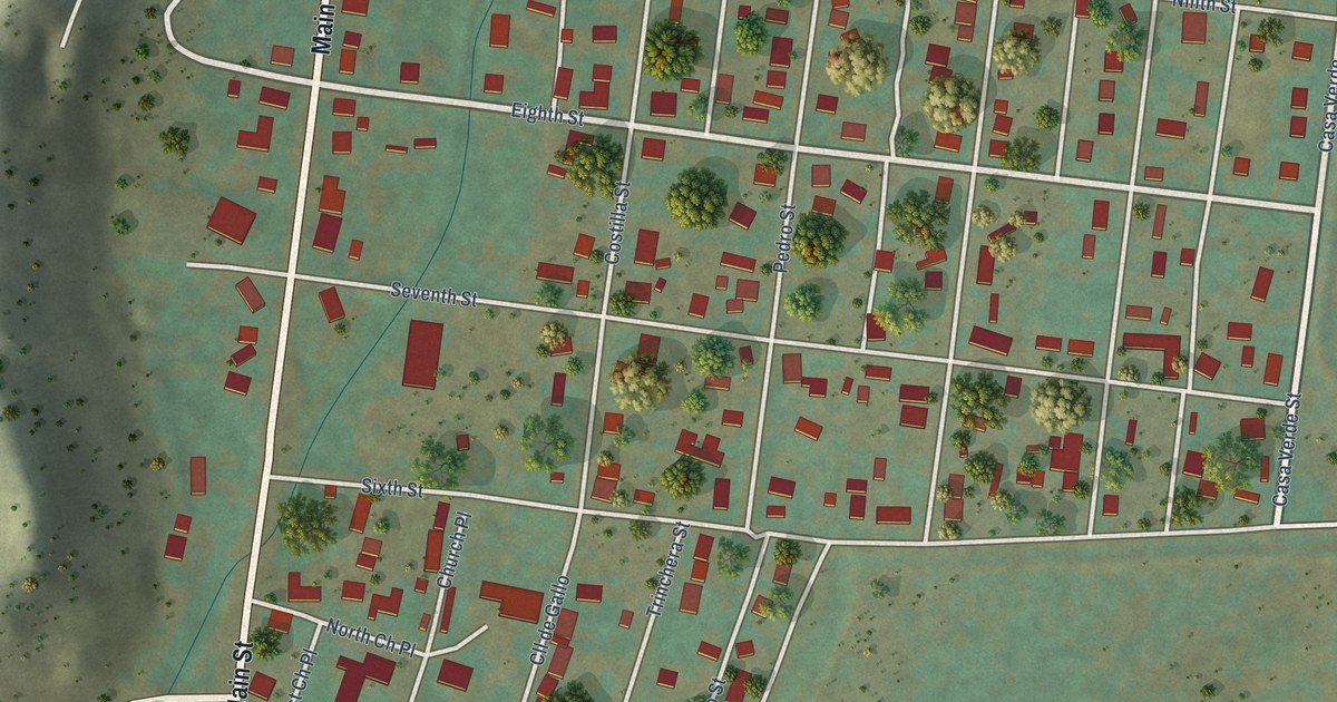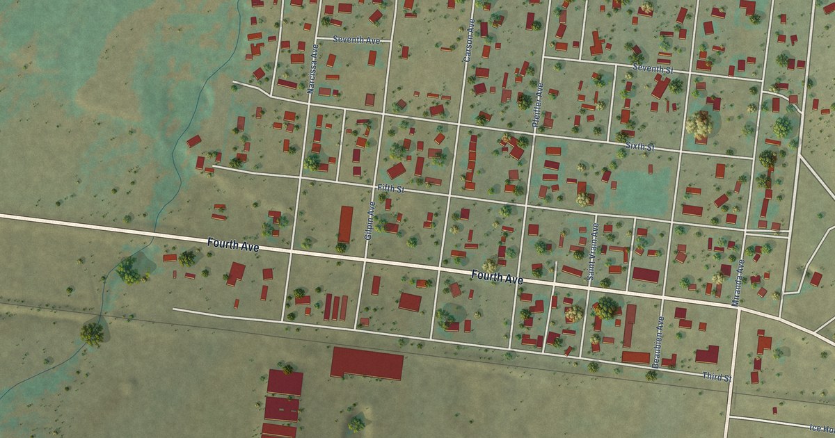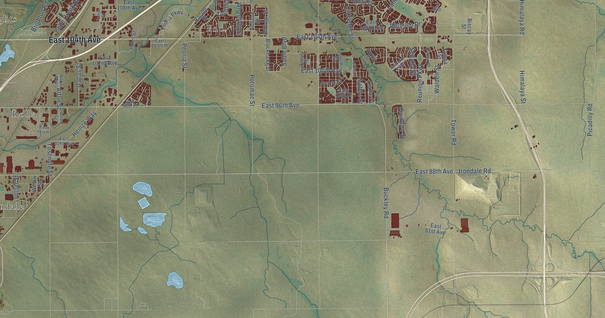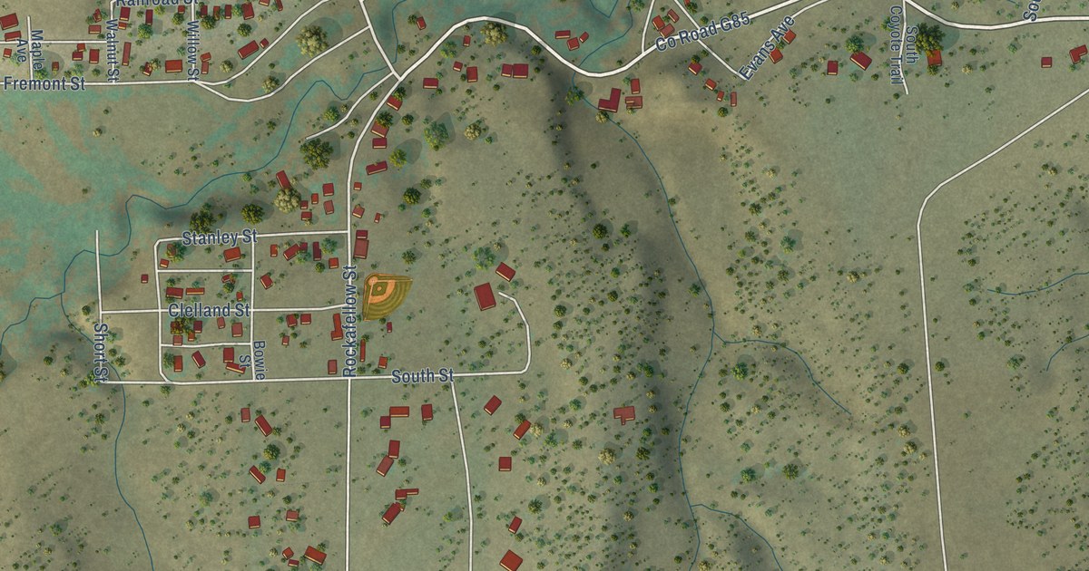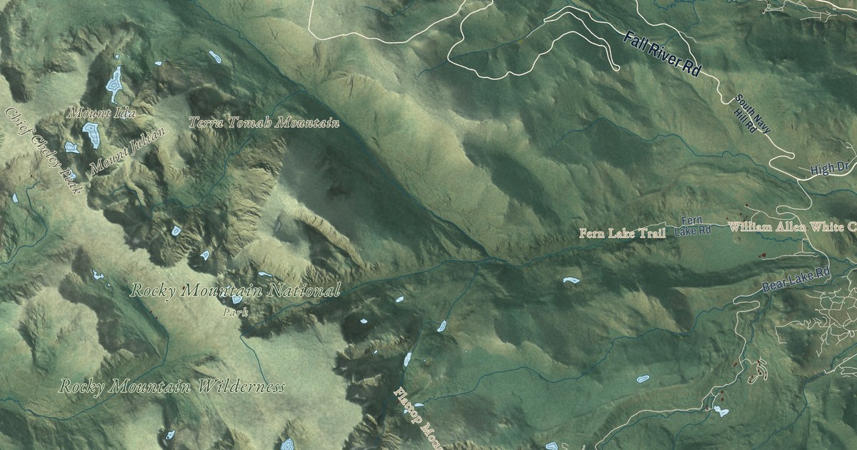
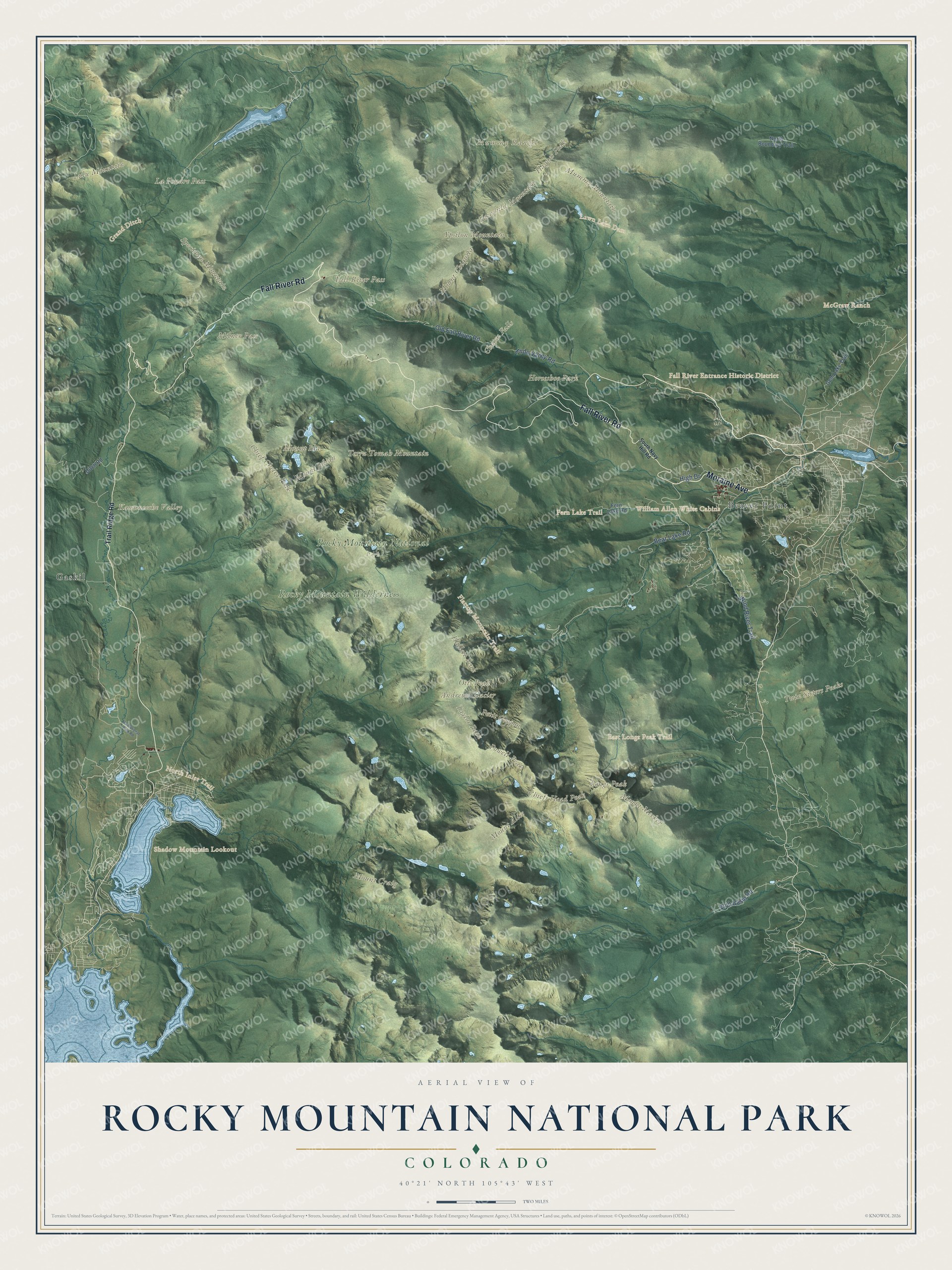
This beautifully detailed map of Rocky Mountain National Park was created in 2026 using aerial imagery combined with modern topographical, census, street and landmark data. It covers the park on both its east and west sides, from the Mummy Range in the north to Longs Peak and the Wild Basin Road in the south, with the Kawuneeche Valley to the west. Shaded topographic relief shows the high peaks and the valleys the old glaciers carved, and many of the park’s names follow the land itself, curving along the ridges and valleys they belong to.
Explore an aerial view of Rocky Mountain National Park
On the map you’ll find Longs Peak, Mount Meeker, Hallett Peak, Taylor Peak, Otis Peak, Ypsilon Mountain, Fairchild Mountain, Hagues Peak, the Mummy Range, Twin Sisters Peaks, Andrews Glacier, Chasm Falls, Horseshoe Park, the Kawuneeche Valley, Milner Pass, Fall River Pass and the Grand Ditch, along with Trail Ridge Road, Old Fall River Road and Bear Lake Road. If you’ve driven over the top or climbed to a summit, zoom in on the preview to find the peak you remember.
Did You Know?
Horace Albright, director of the National Park Service, said this in 1931 while Trail Ridge Road was being built, as the park recalls: “You will have the whole sweep of the Rockies before you in all directions.”
Trail Ridge Road opened to its first travelers the next year. It runs 48 miles between Estes Park and Grand Lake, spends 11 miles above treeline and tops out at 12,183 feet. Longs Peak, at 14,259 feet, towers above every other summit in the park and can be seen from almost anywhere in it, according to the park’s Longs Peak page. Congress passed the act that created the park in 1915, and it was dedicated that September 4. Long before then, the English traveler Isabella Bird climbed Longs Peak in the early 1870s, only the second woman known to reach the top, and wrote about the Estes Park valley in A Lady’s Life in the Rocky Mountains, published in 1879. Writers like her helped build the interest that led to the park.
Take a closer look at the Rocky Mountain National Park map
See it on a wall
The Rocky Mountain National Park map as a framed print. Swipe for more.


This beautifully detailed map of Rocky Mountain National Park makes an attractive addition to your office, library, or den, and it can even be used to teach children how mountains and glaciers shape the land. It also makes a great gift for anyone who has driven Trail Ridge Road or climbed in the park. When you’re done exploring, click here to get your copy of the Rocky Mountain National Park map.