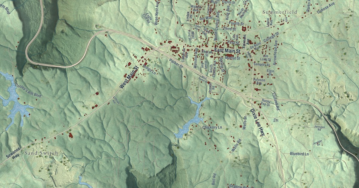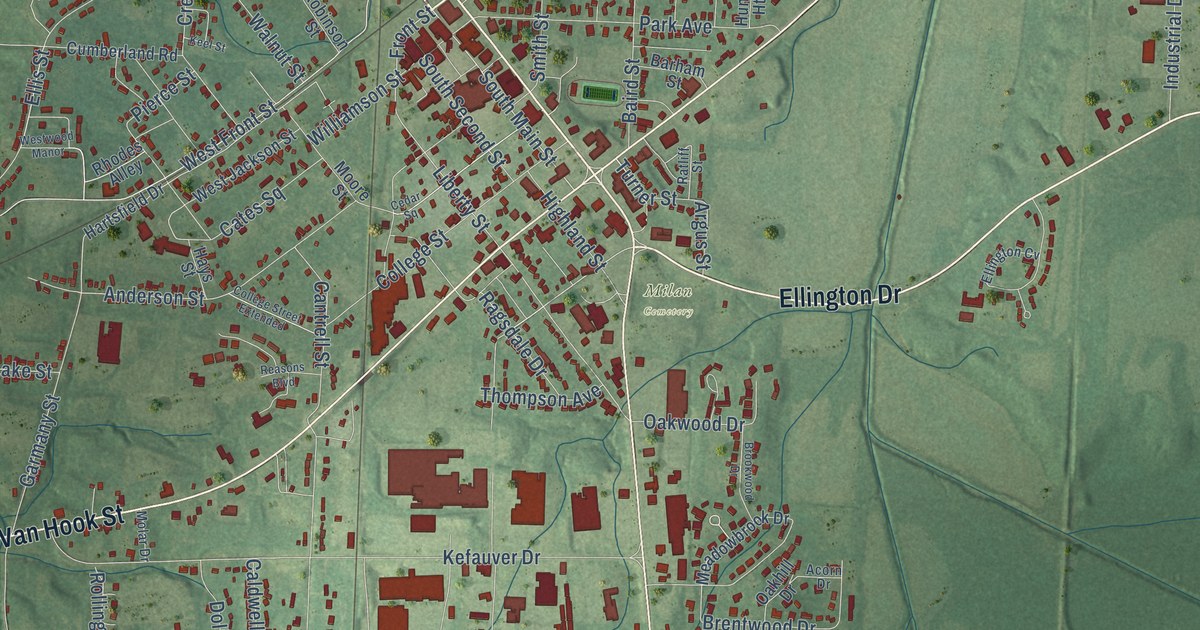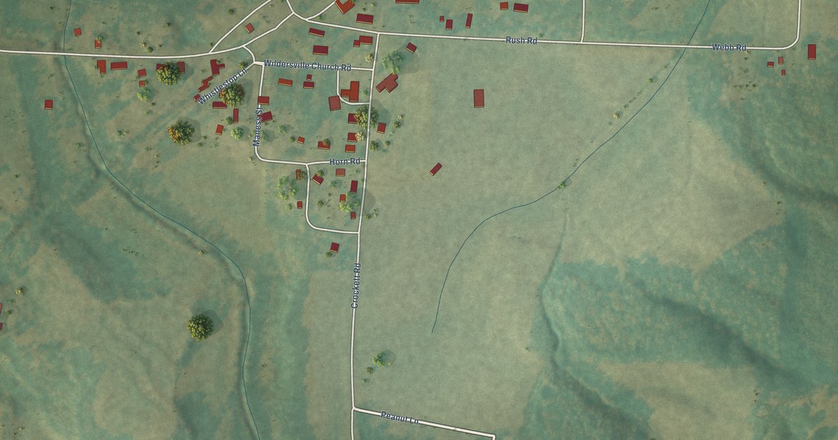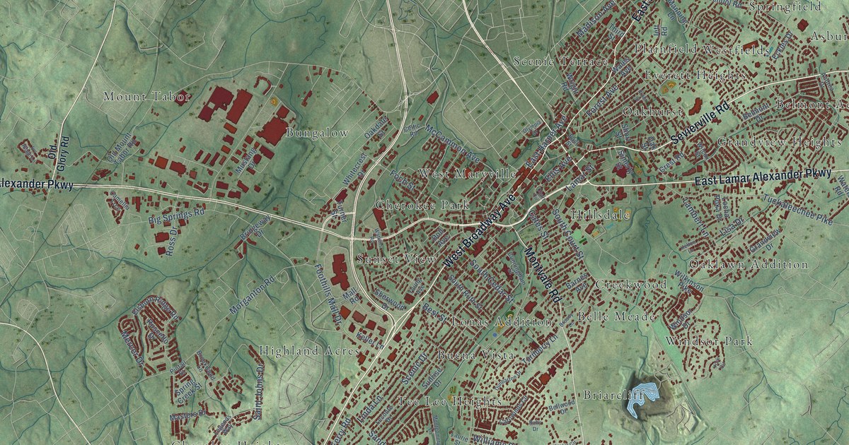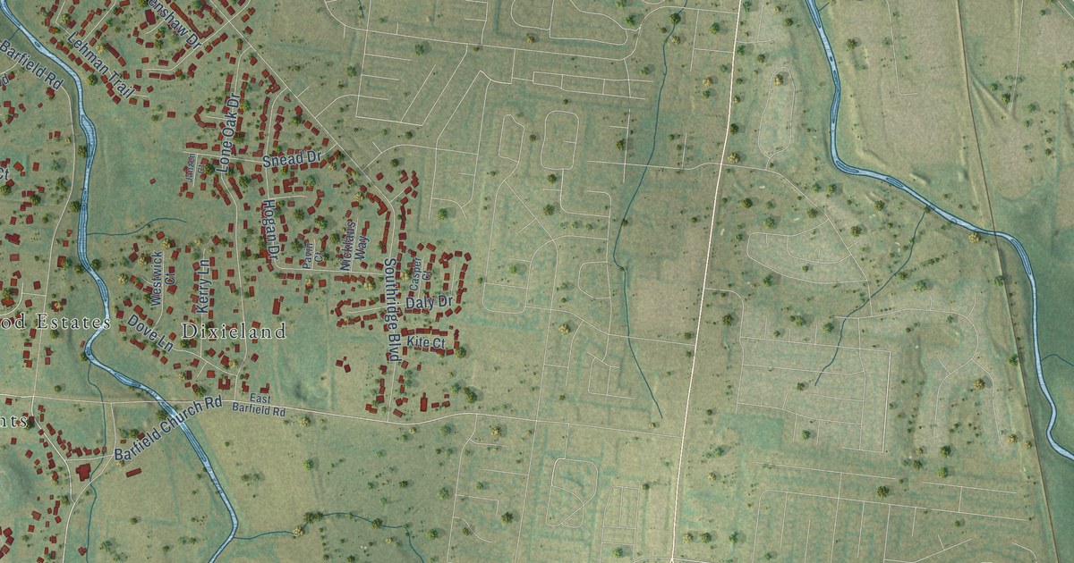
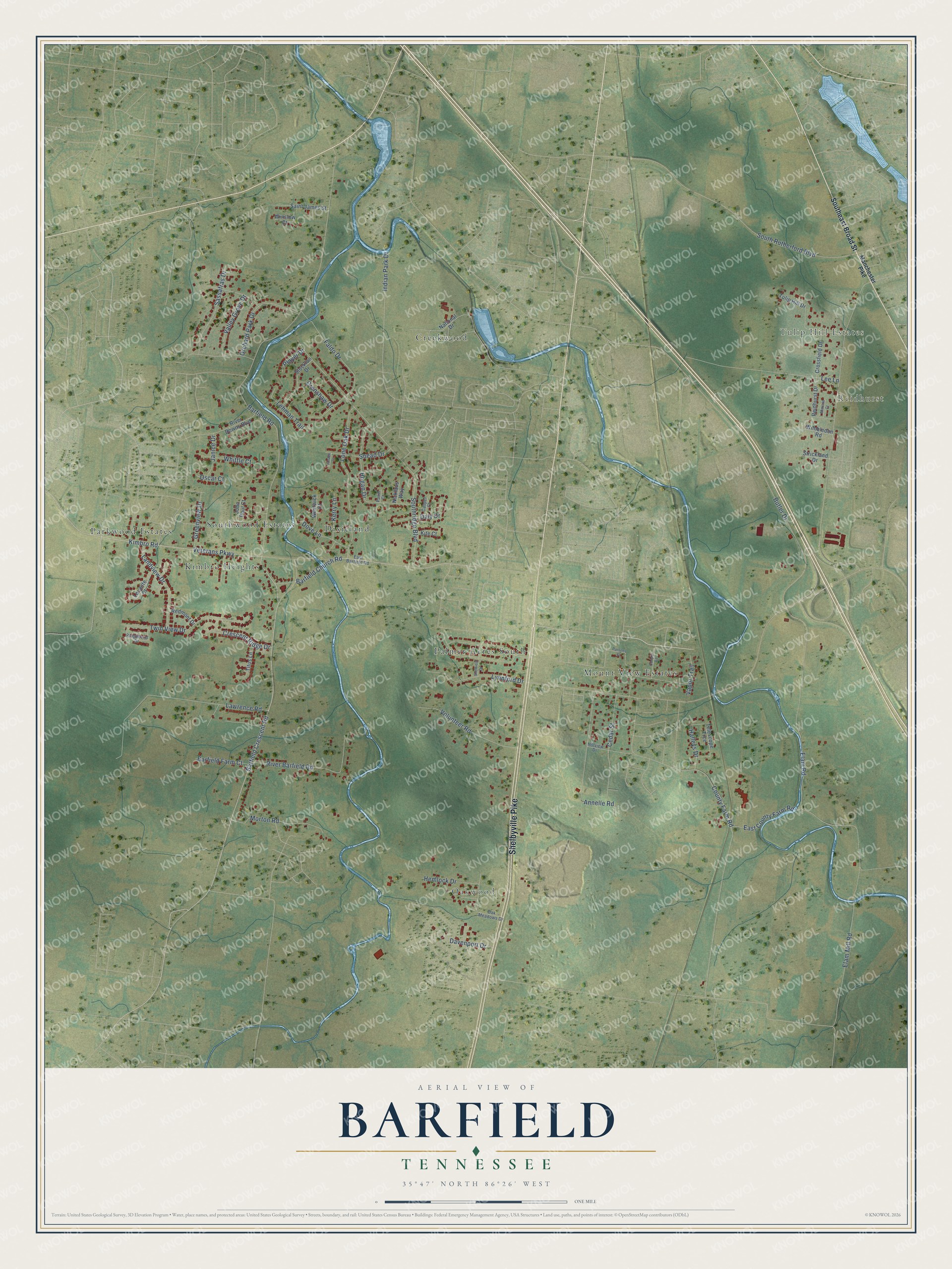
This beautifully detailed map of Barfield, Tennessee was created in 2026 using aerial imagery combined with modern topographical, census, street and landmark data. It’s a one-of-a-kind view of Barfield that combines accurate data with a vintage aesthetic. The map shows every building in its true location, many of the roads carry their names, and the shaded topographic relief shows the shape of the land.
Explore an aerial view of Barfield, Tennessee
On the map you’ll find Tulip Hill Estates, Reidhurst, Oakwood, Mount View Estates, Parkwood Estates, Creekwood, Dixieland, Palmer Acres South, Kimbro Heights, and Southwood Estates, along with Shelbyville Pike, Barfield Crescent Road, and more. If you look closely you can even find your house accurately drawn in its correct location. Zoom in on the preview to look for yours.
Take a closer look at the Barfield map
Names on this map
These names are printed on this map.
Places: Tulip Hill Estates, Reidhurst, Oakwood, Mount View Estates, Parkwood Estates, Creekwood, Dixieland, Palmer Acres South, Kimbro Heights and Southwood Estates.
Streets and roads: Shelbyville Pike, Barfield Crescent Road, Elam Road, Barfield Road, Butler Drive, Veterans Parkway, County Farm Road, Southridge Boulevard, South Rutherford Boulevard, Kimbro Road, Annelle Road, Lee Lane.
More street names, A to Z
Barfield Church Road, Barfield Farm Court, Casper Court, Cedar Street, Cooper Road, Crenshaw Drive, Crescent Ridge Drive, Crossfield Drive, Daly Drive, Davenport Drive, Dove Lane, East Barfield Road, East County Farm Road, Elam Mill Road, Faldo Drive, Greenview Drive, Halleys Drive, Hemlock Drive, Hillview Drive, Hogan Drive, Indian Park Drive, Janice Drive, Janzen Court, John Paul Court, Kerry Lane, Kite Court, Landview Drive, Lawrence Road, Leconte Court, Lehman Trail, Lone Oak Drive, Lynnford Drive, Manchester Pike, Mimosa Court, Morton Road, National Drive, Nicklaus Way, Oak Meadows Drive, Orchard Park Drive, Oscar Court, Parsons Street, Pavin Court, Player Drive, Redmont Drive, Reidhurst Drive, Ridgebend Drive, River Barfield Road, River Downs Boulevard, Saint James Street, Sassafras Drive, Sheffield Drive, Snead Drive, Southeast Broad Street, Stockton Drive, Strickland Drive, Telescope Trce, Titus Lane, Tulip Hill Drive, Twin View Drive, Valley Grove Drive, Vapor Trail, Volunteer Road, Westwick Court, Whittle Court, Wimbledon Road, Winslow Court.
See it on a wall
The Barfield map as a framed print. Swipe for more.


This beautifully detailed map of Barfield makes an attractive addition to your office, library, or den, and it can even be used to teach children the geography and history of the area. It also makes a great gift for anyone with Barfield roots. When you’re done exploring, click here to get your copy of the Barfield map.