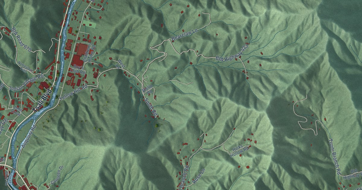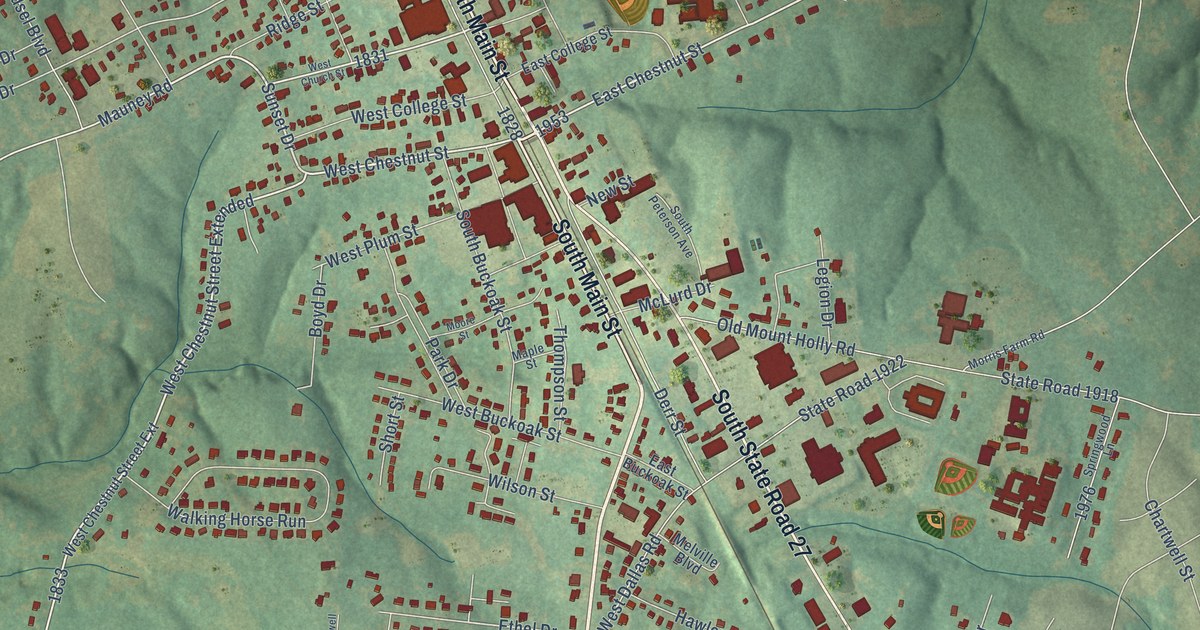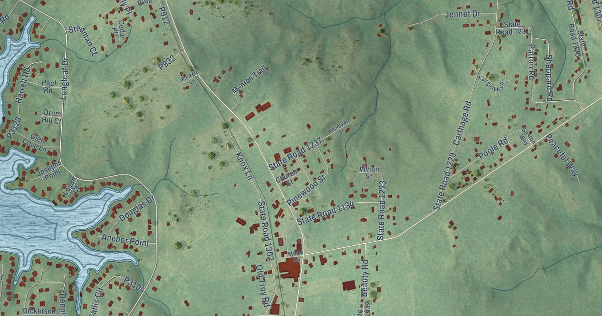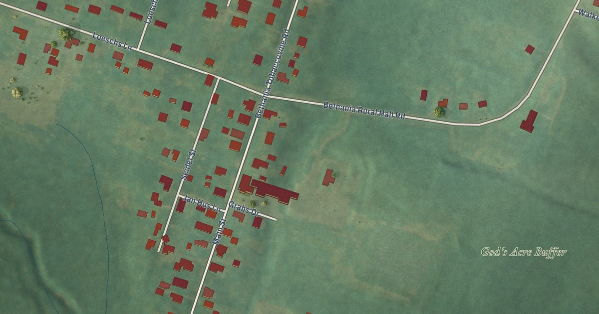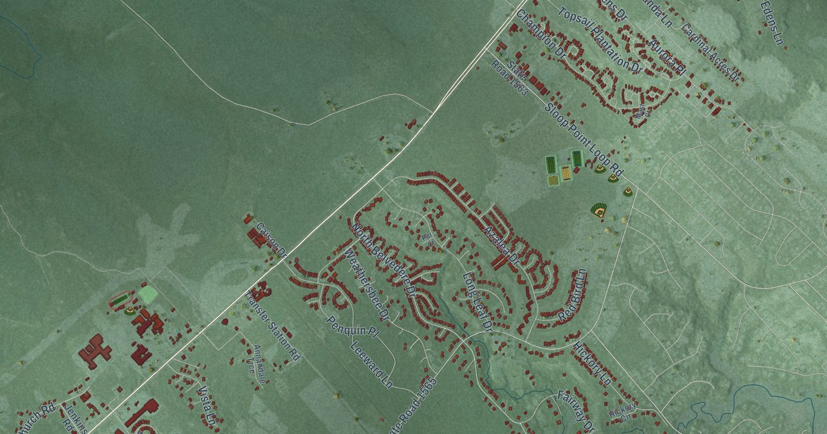
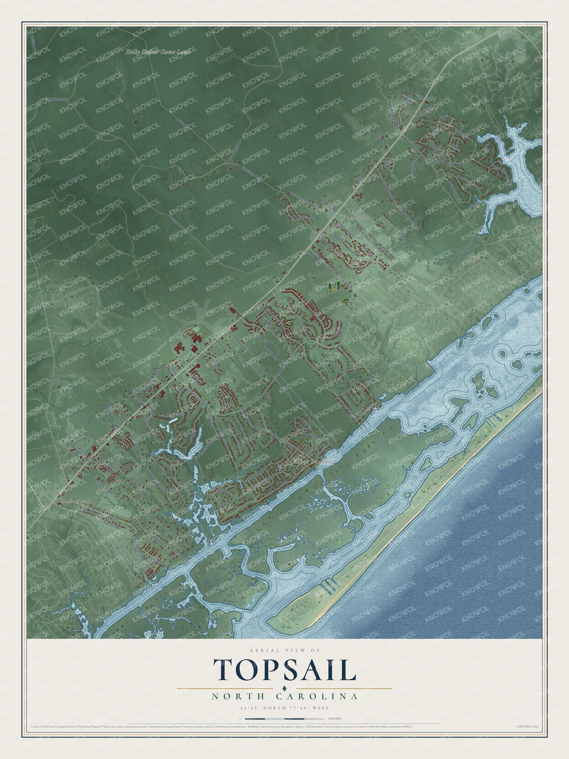
This beautifully detailed map of Topsail, North Carolina was created in 2026 using aerial imagery combined with modern topographical, census, street and landmark data. It’s a one-of-a-kind view of Topsail that combines accurate data with a vintage aesthetic. The map shows every building in its true location, many of the roads carry their names, and the shaded topographic relief shows the shape of the land.
Explore an aerial view of Topsail, North Carolina
On the map you’ll find Kings Landing, Woodside, Holly Shelter Game Land, and Hampstead, along with Gull Road, South Belvedere Drive, North Belvedere Drive, Factory Road, Williams Store Road, Lodge Road, Old Lodge 1 Road, Tram Road, and more. If you look closely you can even find your house accurately drawn in its correct location. Zoom in on the preview to look for yours.
Did You Know?
From Internet Archive: "A Bill for destroying Squirrels Crows and Black Birds in that part of New Hanover County called New Topsail sound read the third time and passed Ordered to be engrossed."
Topsail is a community in Pender County.
Take a closer look at the Topsail map
Names on this map
These names are printed on this map.
Places: Kings Landing, Woodside, Holly Shelter Game Land and Hampstead.
Streets and roads: Gull Road, South Belvedere Drive, North Belvedere Drive, Factory Road, Williams Store Road, Lodge Road, Old Lodge 1 Road, Tram Road, Country Club Drive, State Road 1565, Pinnacle Parkway, Olde Point Road.
More street names, A to Z
Alfonso Nixon Drive, Amanda Lane, Andrew Jackson Lane, Annandale Trce, Aster Place, Aurora Place, Averys Road, Avila Avenue, Avila Drive, Azalea Drive, Bay Harbor Drive, Bay Ridge Road, Bear Creek Drive, Bristle Cone Court, Caison Drive, Canvasback Point, Captain Beam Boulevard, Cardinal Acres Drive, Champion Drive, Chapel Pond Road, Conifer Drive, Coots Trail, Corcus Ferry Road, Cordgrass Road, Crown Pointe Court, Dixon Estates Drive, East High Bluff Drive, Edens Lane, Essie Lane, Fairway Drive, First Street, Forest Sound Road, Fuller Lane, Ganett Drive, Grandview Drive, Green Tee Road, Grovediere Lane, Hickory Circle, Hickory Lane, Hideaway Shores Road, Hilltop Farm Road, Hilltop Lane, Hillview Drive, Howards Channel Drive, Howards Landing Road, Howards Lane, Hydrangea Lane, Inlet Court, Iris Way, Jenkins Road, John Wilson Road, Killdeer Drive, Kings Landing Road, Lakeview Drive, Lea's Lane, Lea Drive, Leas Lane, Leeward Lane, Loblolly Trail, Long Leaf Drive, Mast Court, Military Road, Nandina Drive, North Green Tee Road, Oak Road, Olde Point Lp, Old Whitfield Road, Oyster Catcher Drive, Par Court, Penquin Place, Pine Needle Drive, Pow Mia Trail, Quarter Horse Lane, Ravenswood Road, Red Bird Lane, Ridge Road, Royal Tern Drive, Saint Johns Church Road, Sand Dollar Lane, Sarah Lane, Sawgrass Road, Scotch Bonnet Way, Scrub Oaks Drive, Shandy Way, Sloop Point Loop Road, Sloop Point Road, Sound View Drive, Sparrows Bend, Spring Garden Road, State Road 1561, State Road 1562, State Road 1563, State Road 1567, State Road 1570, State Road 1609, State Road 1615, Tidal Creek Court, Topsail Greens Drive, Topsail Lake Drive, Topsail Plantation Drive, Transfer Station Road, Trumpeter Road, Union Bethel Road, Velinza Plantation Road, Violetear Ridge, Vista Lane, Weathersbee Drive, Whimbrel Way, White Sand Road, Whitus Drive, Widgeon Drive, Wildwood Circle, Wind Ridge Road.
See it on a wall
The Topsail map as a framed print. Swipe for more.


This beautifully detailed map of Topsail makes an attractive addition to your office, library, or den, and it can even be used to teach children the geography and history of the area. It also makes a great gift for anyone who grew up in Topsail or moved away. When you’re done exploring, click here to get your copy of the Topsail map.