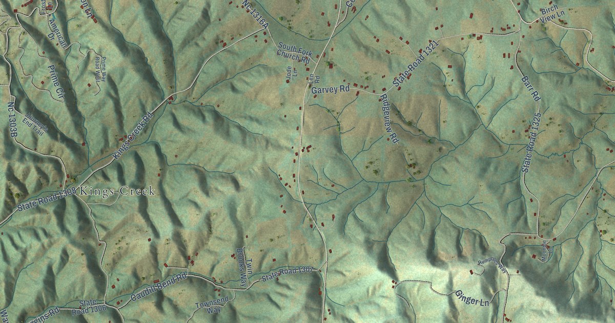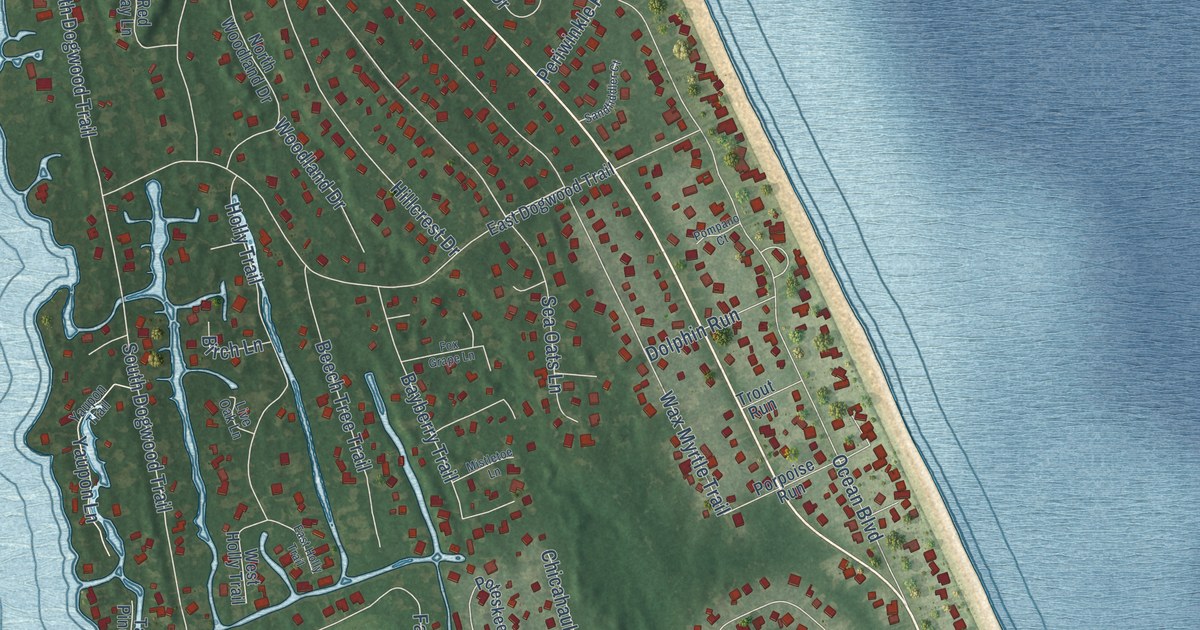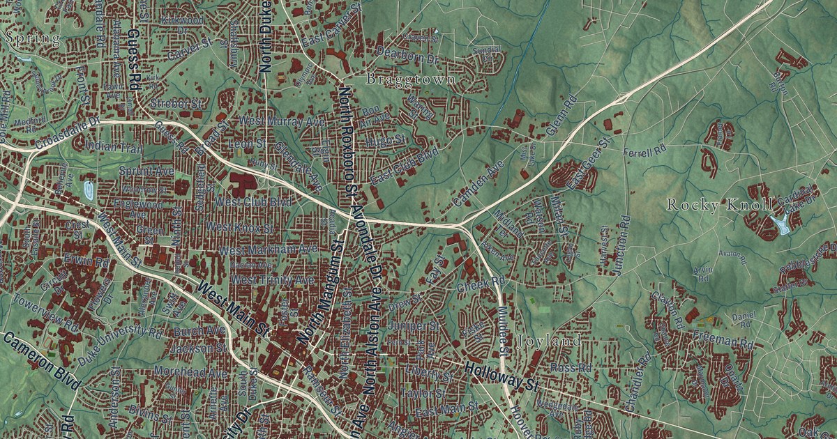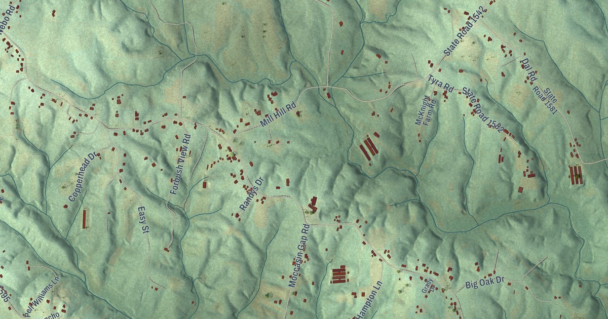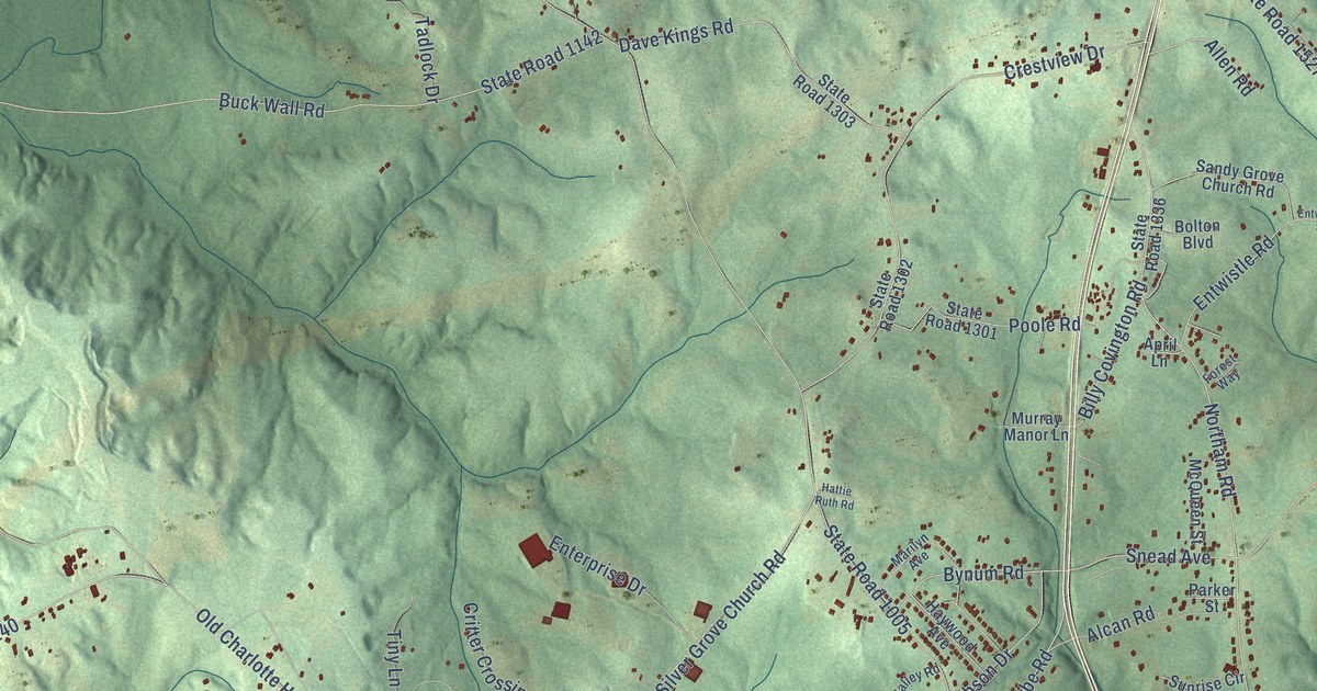
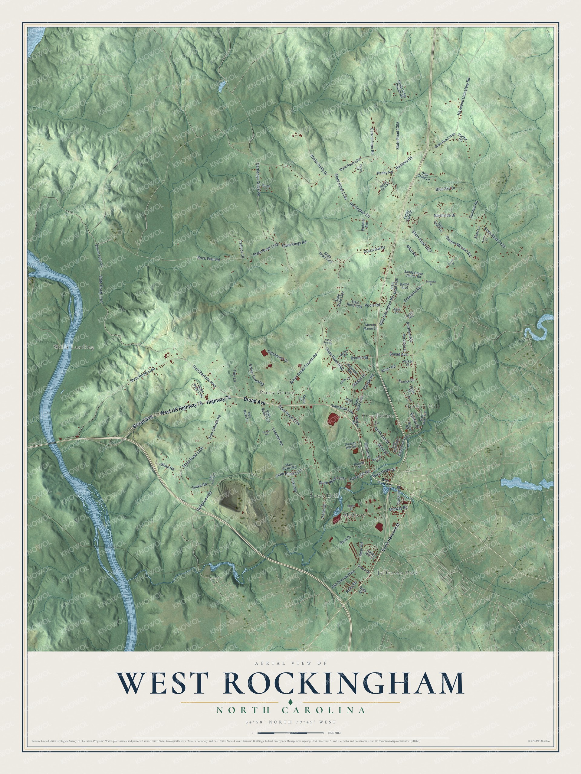
This beautifully detailed map of West Rockingham, North Carolina was created in 2026 using aerial imagery combined with modern topographical, census, street and landmark data. It’s a one-of-a-kind view of West Rockingham that combines accurate data with a vintage aesthetic. The map shows every building in its true location, many of the roads carry their names, and the shaded topographic relief shows the shape of the land.
Explore an aerial view of West Rockingham, North Carolina
On the map you’ll find Yates Hill, Walls Landing, Bunker Hill, Piney Grove, Jefferson Park, Five Points, and Midway, along with Broad Avenue, Highway 74, West US Highway 74, West Green Street, Old Cheraw Highway, and more. If you look closely you can even find your house accurately drawn in its correct location. Zoom in on the preview to look for yours.
Take a closer look at the West Rockingham map
Names on this map
These names are printed on this map.
Places: Yates Hill, Walls Landing, Bunker Hill, Piney Grove, Jefferson Park, Five Points and Midway.
Streets and roads: Broad Avenue, Highway 74, West US Highway 74, West Green Street, Old Cheraw Highway, Ellerbe Road, Galestown Road, Northam Road, State Road 1117, State Road 1305, Cartledge Creek Road, State Road 1005.
More street names, A to Z
Alcan Road, Allen Road, April Lane, Arthur Cr, Barrett Street, Belle Drive, Billy Covington Road, Blewitt Falls Road, Blue Sky Drive, Bolton Boulevard, Buck Wall Road, Bunker Street, Bynum Road, Byrd Drive, Caroline Street, Carroll Farm Road, Connell Road, Cox Street, Crestview Drive, Critter Crossing, Dave Kings Road, Deer Creek Lane, Dicks Road, Dockery Road, Eason Drive, Enterprise Drive, Entwistle Road, Entwistle Street, Forest Way, Garrett Street, Gaston McLean Road, Gibson Drive, Hamer Road, Harrington Road, Hattie Ruth Road, Haywood Avenue, Haywood Cemetery Road, Holly Road, Joyce Street, Koala Drive, Lake Road, Lassiter Road, Maness Avenue, Marilyn Avenue, Mary Evans Road, McNair Road, McQueen Street, Midway Road, Murray Manor Lane, Nelson Farm Road, North Lee Street, Northside Drive, Old Charlotte Highway, Panky Road, Parker Street, Peace Drive, Pine Lane, Poole Road, Poppy Seed Drive, Purvis Road, River Road, Roy Moss Drive, Sandy Grove Church Road, Sandy Ridge Church Road, Shaffer Road, Shaw Lane, Shaw Street, Short Street, Silver Grove Church Road, Slate Road, Snead Avenue, South Hancock Street, State Road 1109, State Road 1120, State Road 1123, State Road 1124, State Road 1125, State Road 1140, State Road 1141, State Road 1142, State Road 1184, State Road 1199, State Road 1301, State Road 1302, State Road 1303, State Road 1304, State Road 1306, State Road 1335, State Road 1336, State Road 1410, State Road 1412, State Road 1418, State Road 1433, State Road 1440, State Road 1446, State Road 1527, Sunrise Circle, Tadlock Drive, Thomas Hill Road, Tillman Road, Tiny Lane, Valley Hill Drive, Valley Road, Walter Kelly Drive, Webster Avenue, West Broad Avenue, Wright Lane, Yates Hill Road, Yates Street, Zannie Drive, Zion Church Road.
See it on a wall
The West Rockingham map as a framed print. Swipe for more.


This beautifully detailed map of West Rockingham makes an attractive addition to your office, library, or den, and it can even be used to teach children the geography and history of the area. It also makes a great gift for someone who left West Rockingham and still calls it home. When you’re done exploring, click here to get your copy of the West Rockingham map.