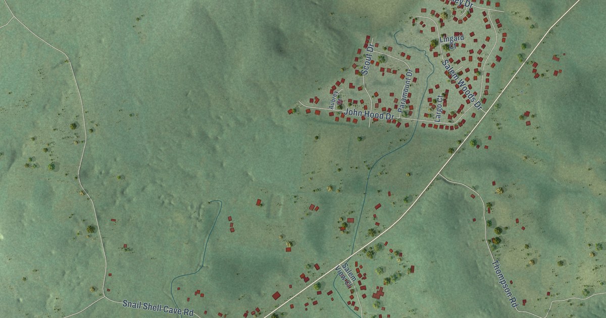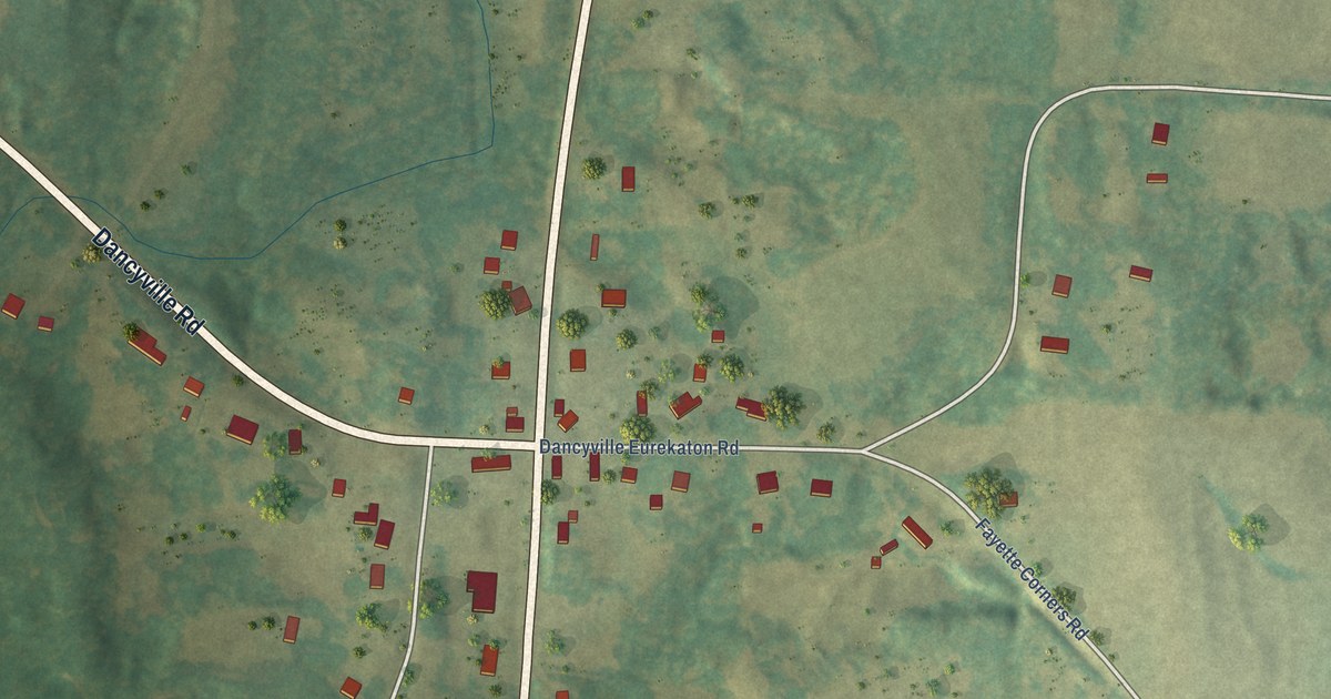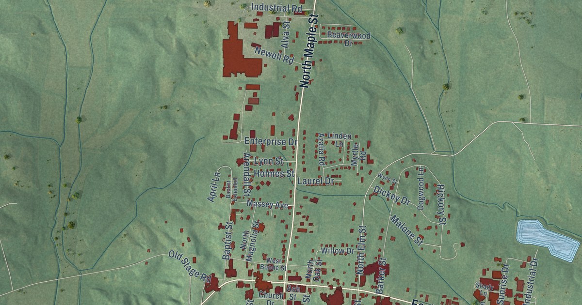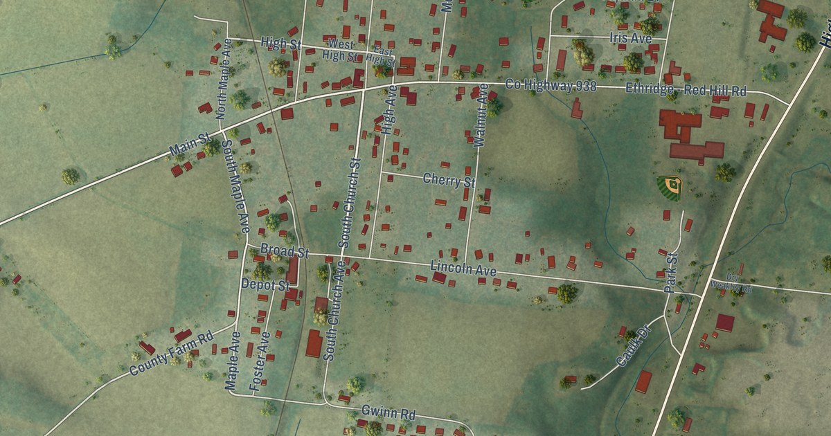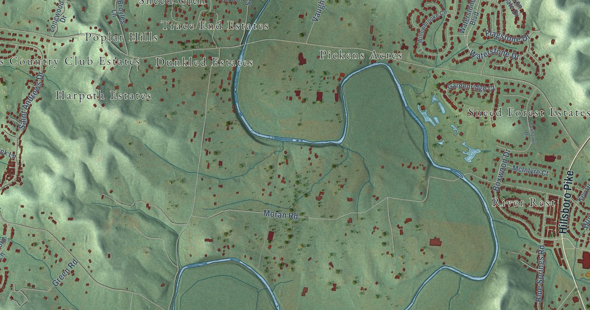
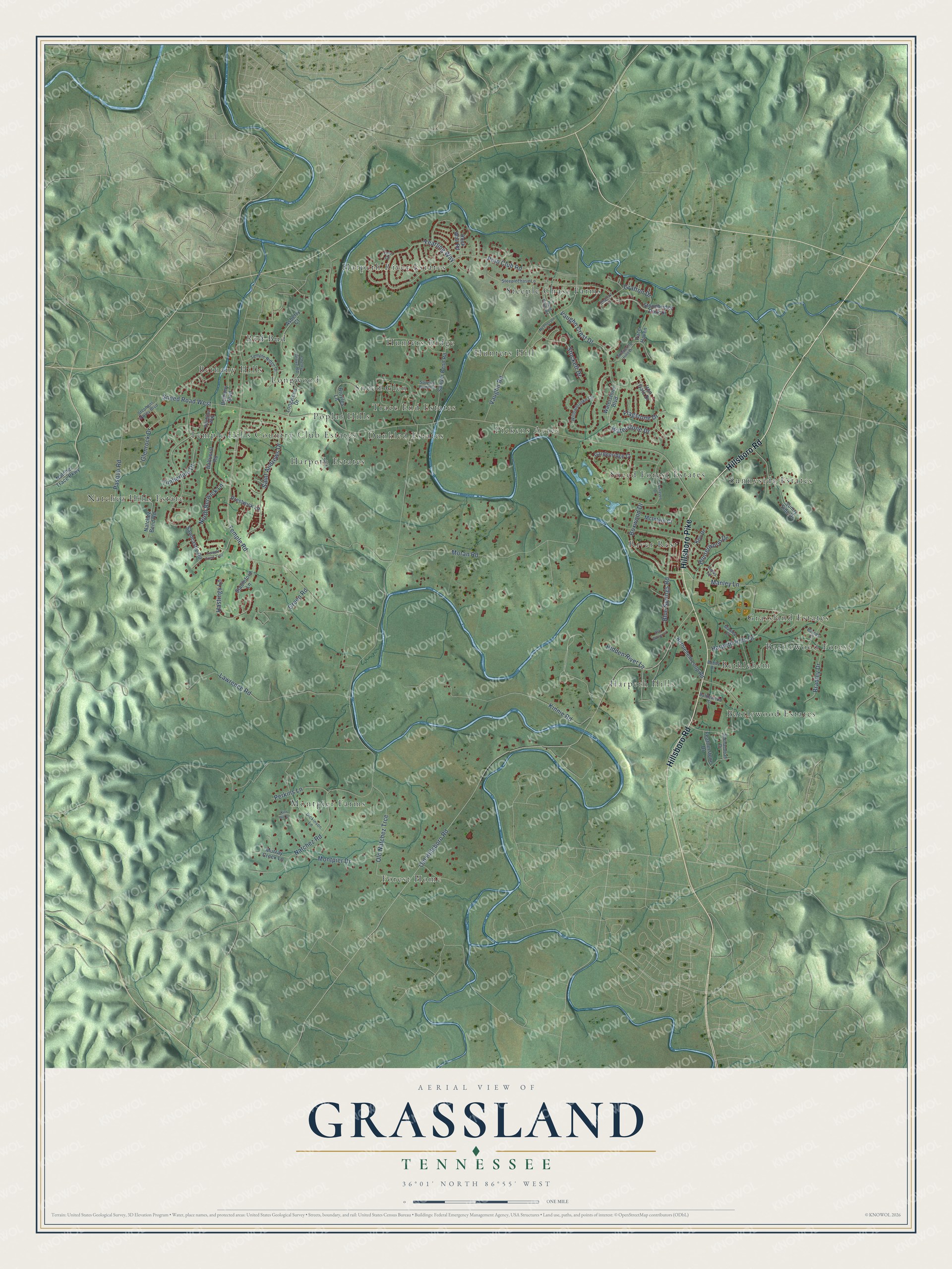
This beautifully detailed map of Grassland, Tennessee was created in 2026 using aerial imagery combined with modern topographical, census, street and landmark data. It’s a one-of-a-kind view of Grassland that combines accurate data with a vintage aesthetic. The map shows every building in its true location, many of the roads carry their names, and the shaded topographic relief shows the shape of the land.
Explore an aerial view of Grassland, Tennessee
On the map you’ll find Harpeth Hills, Steeple Chase Farms, Forest Home, Natchez Hills Estate, Red Bud, Battlewood Forest, Pickens Acres, Sunnyside Estates, Harpeth River Estates, Temple Hills Country Club Estates, River Rest, Sneed Forest Estates, and more. If you look closely you can even find your house accurately drawn in its correct location. Zoom in on the preview to look for yours.
Take a closer look at the Grassland map
Names on this map
These names are printed on this map.
Places: Harpeth Hills, Steeple Chase Farms, Forest Home, Natchez Hills Estate, Red Bud, Battlewood Forest, Pickens Acres, Sunnyside Estates, Harpeth River Estates, Temple Hills Country Club Estates, River Rest, Sneed Forest Estates, Trace End Estates, Hunters Hill, Bethlehem, Dunkled Estates, Montpier Farms, Hunters Ridge, Bethany Hills, Grassland Estates, Battlewood Estates, Longwood, Harpeth Estates, Sneed Glen and Poplar Hills.
Streets and roads: Hillsboro Road, Hillsboro Pike, Boxwood Drive, Manley Lane, Yearling Way, Polo Club Road, Sneed Road West, Hidden River Lane, Waterstone Drive, Temple Road, Old Natchez Trce, Old Hillsboro Road.
More street names, A to Z
Abington Way, Asberry Court, Ash Grove Court, Baltusrol Road, Barnes Court, Battlewood Street, Bethany Boulevard, Bethlehem Loop Road, Blue Springs Road, Bobby Drive, Bradley Drive, Broyles Lane, Chalford Court, Cherry Grove Road, Dickinson Lane, Featherstone Drive, Flagstone Drive, Foxhaven Drive, Gardenridge Court, Glenrock Drive, Grafton Drive, Green Road, Harpeth Hills Drive, Hastings Lane, Hunt Club Road, Hunterwood Drive, Iron Gate Drive, Key Drive, Kiln Hill Court, Kinnie Road, Lawrence Road, Longwood Drive, Lucas Lane, Manley Court, McIntyre Court, McPherson Lane, Montpier Drive, Moran Road, Murray Creek Lane, Natchez Bend Road, Natchez Road, Natchez Trace Parkway, North Berwick Lane, Pace Haven, Pasquo Road, Perkins Lane, Prestwick Lane, Rock Wall Road, Saint Andrews Drive, Sandcastle Road, Sawyer Bend Court, Sawyer Bend Road, Shenandoah Drive, Stableford Lane, Steeplechase Lane, Stephens Valley Boulevard, Stockett Drive, Stonebridge Park Drive, Sunny Side Drive, Temple Crest Trail, Temple Ridge Drive, Tern Court, Timberline Drive, Vaughn Crest Drive, Vaughn Road, Waterstone Boulevard, Whispering Hills Drive, Willowbrooke Circle.
See it on a wall
The Grassland map as a framed print. Swipe for more.


This beautifully detailed map of Grassland makes an attractive addition to your office, library, or den, and it can even be used to teach children the geography and history of the area. It also makes a great gift for anyone with Grassland roots. When you’re done exploring, click here to get your copy of the Grassland map.