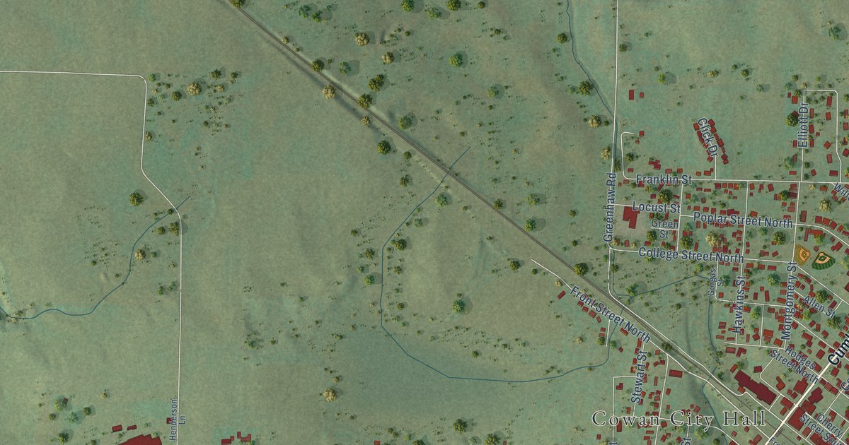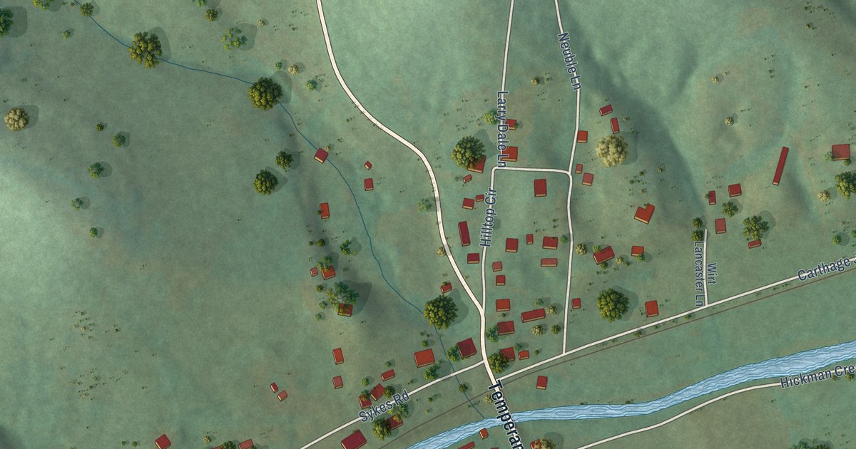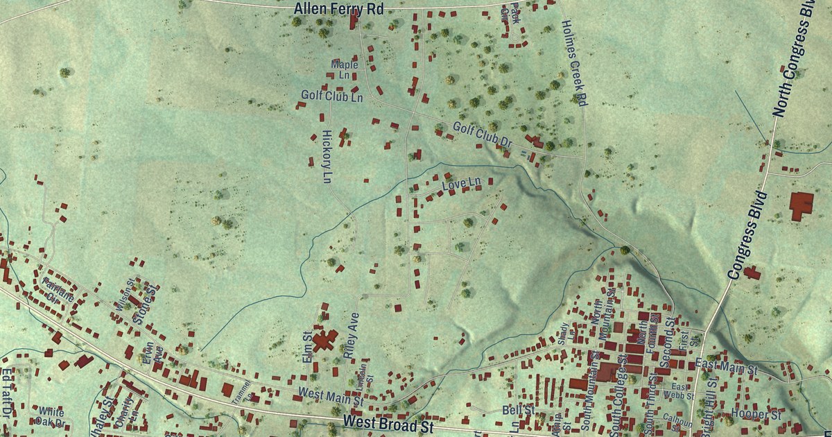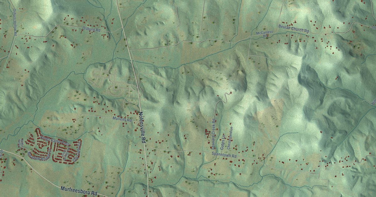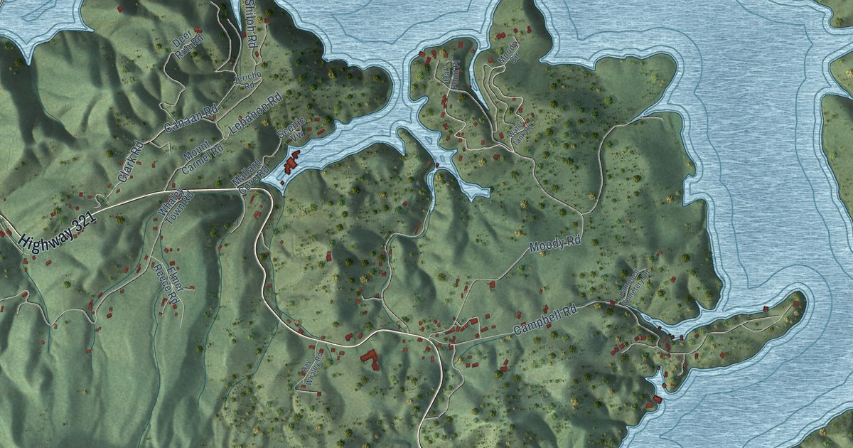
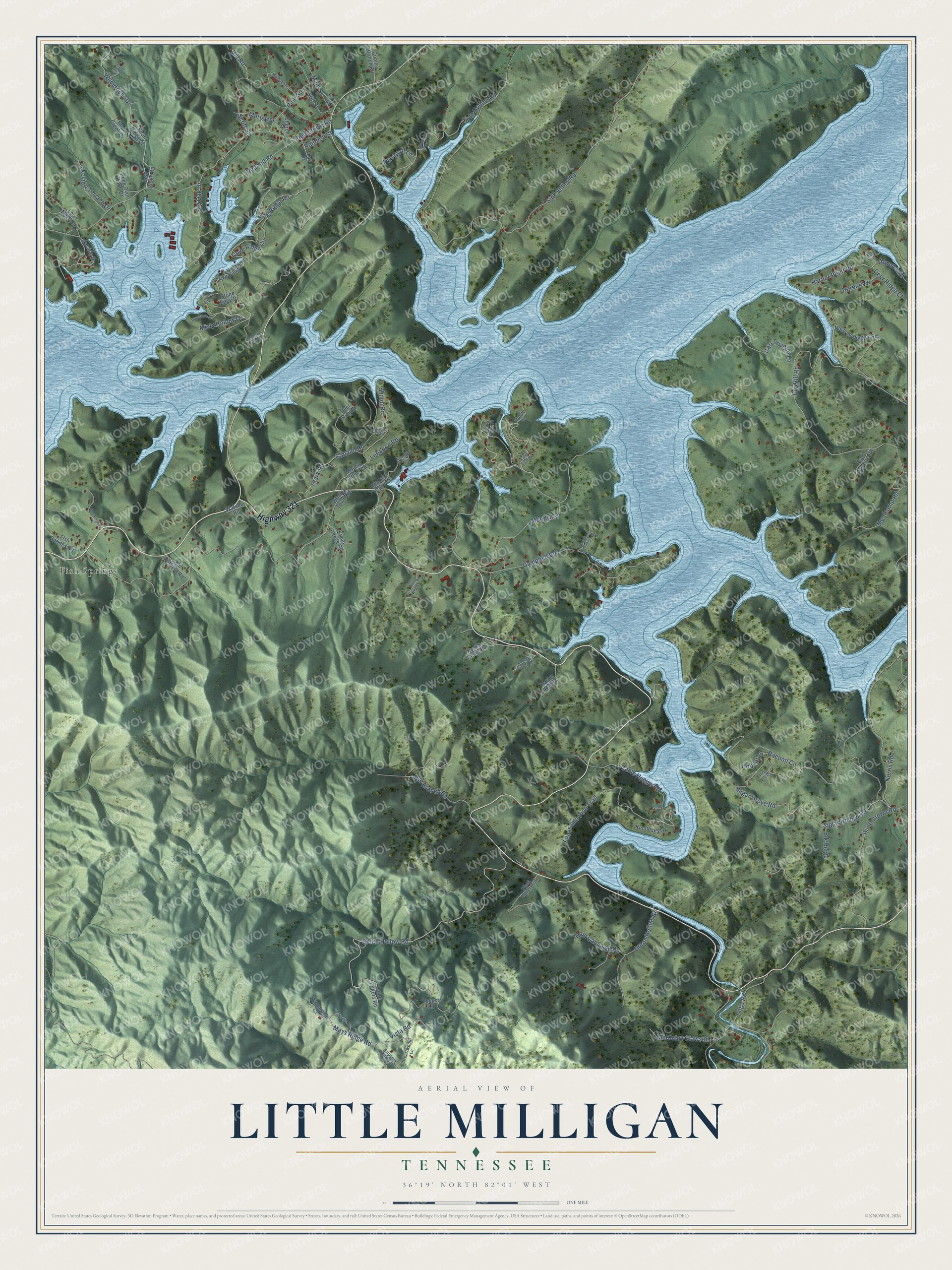
This beautifully detailed map of Little Milligan, Tennessee was created in 2026 using aerial imagery combined with modern topographical, census, street and landmark data. It’s a one-of-a-kind view of Little Milligan that combines accurate data with a vintage aesthetic. The map shows every building in its true location, many of the roads carry their names, and the shaded topographic relief shows the shape of the land.
Explore an aerial view of Little Milligan, Tennessee
On the map you’ll find Fish Springs and Harbor Vw, along with Highway 321, Red Hill Road, Mays Ridge Road, Hill Street, Cove Ridge Road, Scott Street, Campbell Road, Cable Hollow Road, Sugar Grove Road, Pine Street, and more. If you look closely you can even find your house accurately drawn in its correct location. Zoom in on the preview to look for yours.
Take a closer look at the Little Milligan map
Names on this map
These names are printed on this map.
Places: Fish Springs.
Streets and roads: Highway 321, Red Hill Road, Mays Ridge Road, Hill Street, Cove Ridge Road, Harbor Vw, Scott Street, Campbell Road, Cable Hollow Road, Sugar Grove Road, Pine Street, Piercetown Road.
More street names, A to Z
Andrew Finney Road, Angel Drive, Atwood Road, Bear Creek Drive, Bear Ridge Drive, Bear Ridge Road, Big Oak Drive, Black Branch Trail, Bluestone Drive, Bobcat Lane, Buntontown Road, Campbell Cemetery Road, Canaan Road, Carl Trivette Lane, Carl Trivette Road, Church Street, Clark Road, Copley Branch Road, Cove Ridge Circle, Cove Ridge Lane, Coves Edge Drive, Cox Road, Deer Ridge Court, Deer Run Road, Dry Hill Road, Elk Ridge, Elmer Reece Road, Fish Springs Road, Forest Drive, Green Hollow Road, Ham Campbell Road, Harbor Point Road, Hatley Hollow, Heartwood Lane, Hill Road, Holly Point, Horseshoe Cove Ests, Jericho Road, Jim Duffield Road, Jobe Eggers Road, Klonteska Drive, Kyte Hollow Road, Lakeside Drive, Lakeview Terrace Drive, Lebanon Road, Loan Myer Road, Locust Lane, Lonesome Pine Trail, Main Street, Mallard Cove Road, Managoff Lane, McKinley Clawson Lane, McQueen Street, Mealcamp Road, Misty Hollow Drive, Mockingbird Lane, Moody Circle, Moody Road, Morley Street, Mountain Wynd Lane, Mount Carmel Road, Norman Dugger Road, Norris Ceme Road, Norris Road, Oak Drive, Oak Point Place, Peek Over Knoll Drive, Poga Road, Racoon Circle, Rainbolt Street, Ray Whaley Road, Red Fox Court, Rye Branch Road, Scenic Vw, Shiloh Road, Sink Valley Road, Slippery Elm Circle, Smith Hollow Road, Stone Edge Drive, Sugar Hollow Road, Tamarack Court, Tupelo Circle, Vista Road, Water Tank Road, Watson Road, Whaley Town Road, Wilderness Drive.
See it on a wall
The Little Milligan map as a framed print. Swipe for more.


This beautifully detailed map of Little Milligan makes an attractive addition to your office, library, or den, and it can even be used to teach children the geography and history of the area. It also makes a great gift for anyone who grew up in Little Milligan or moved away. When you’re done exploring, click here to get your copy of the Little Milligan map.