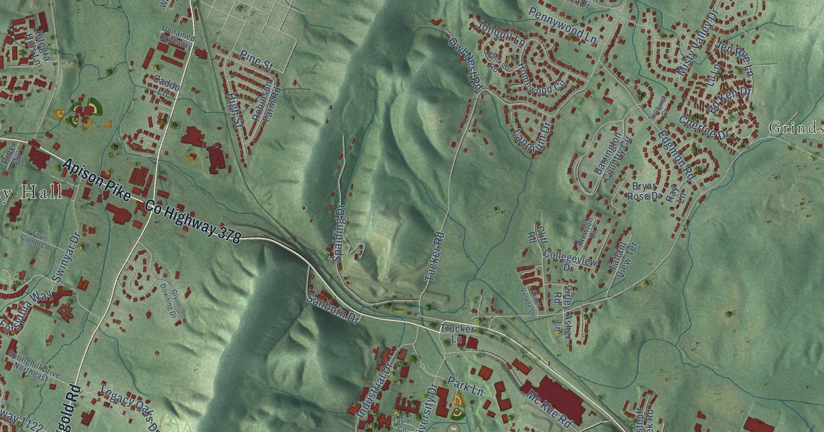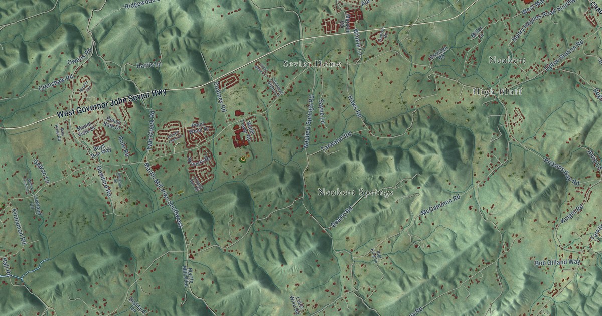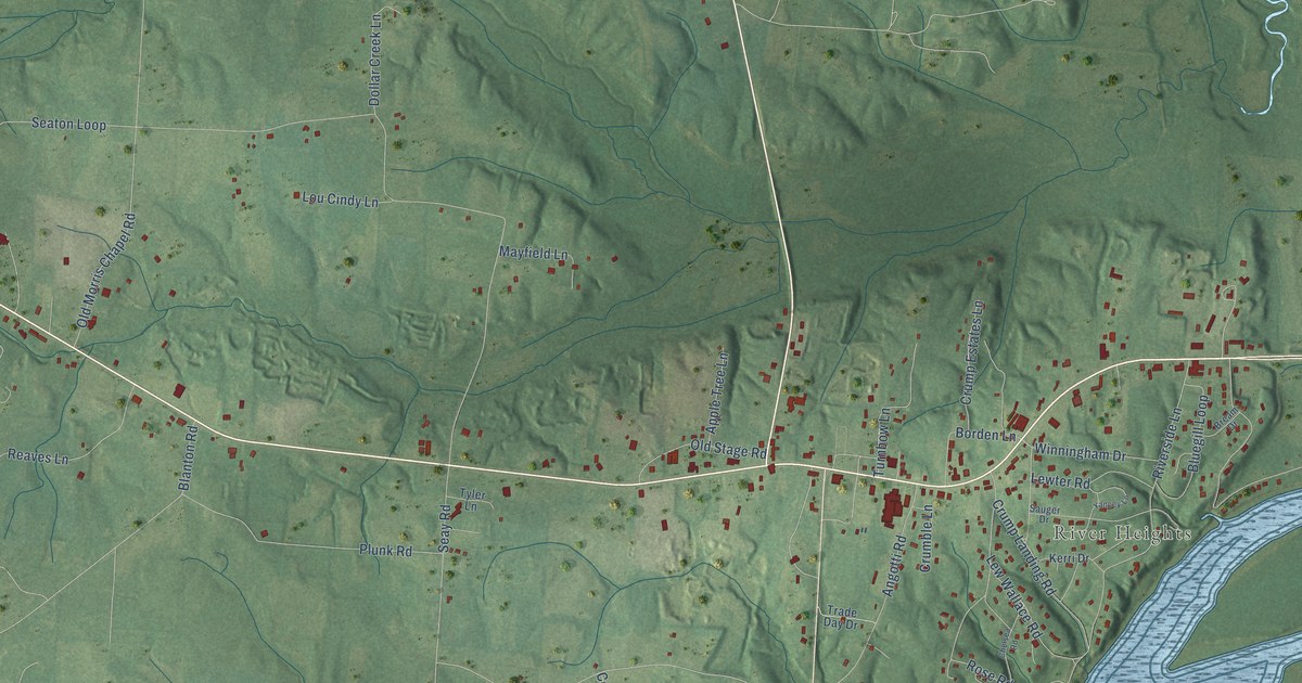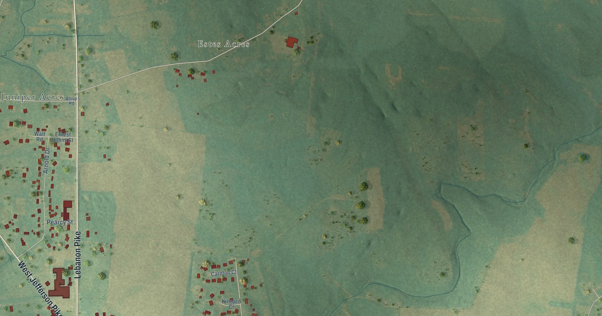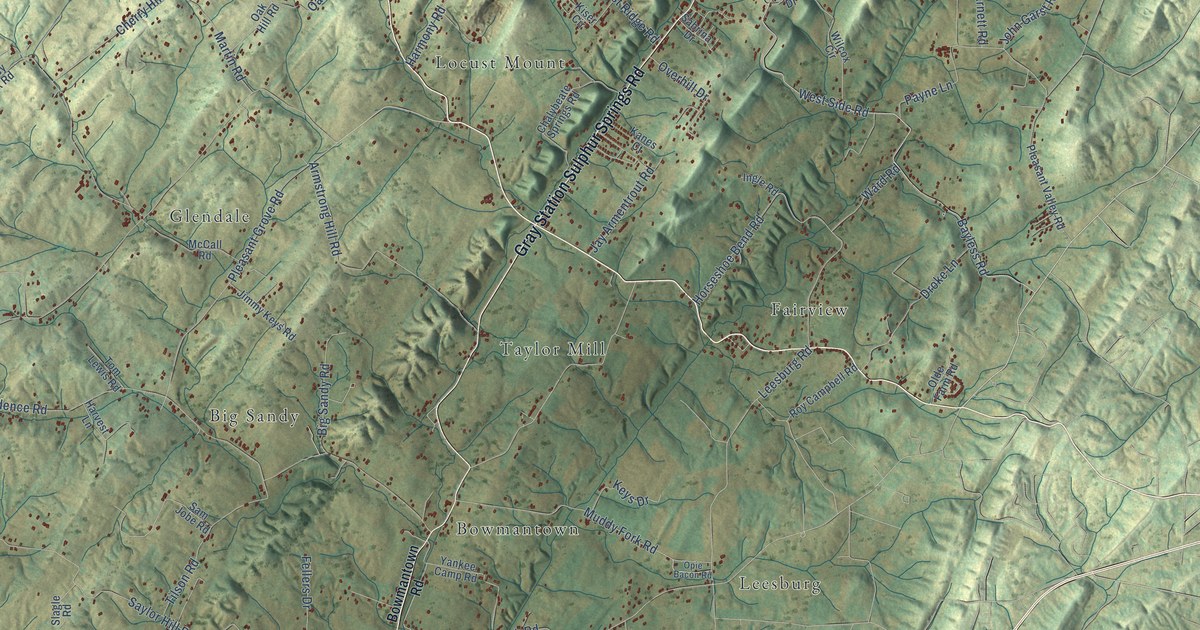
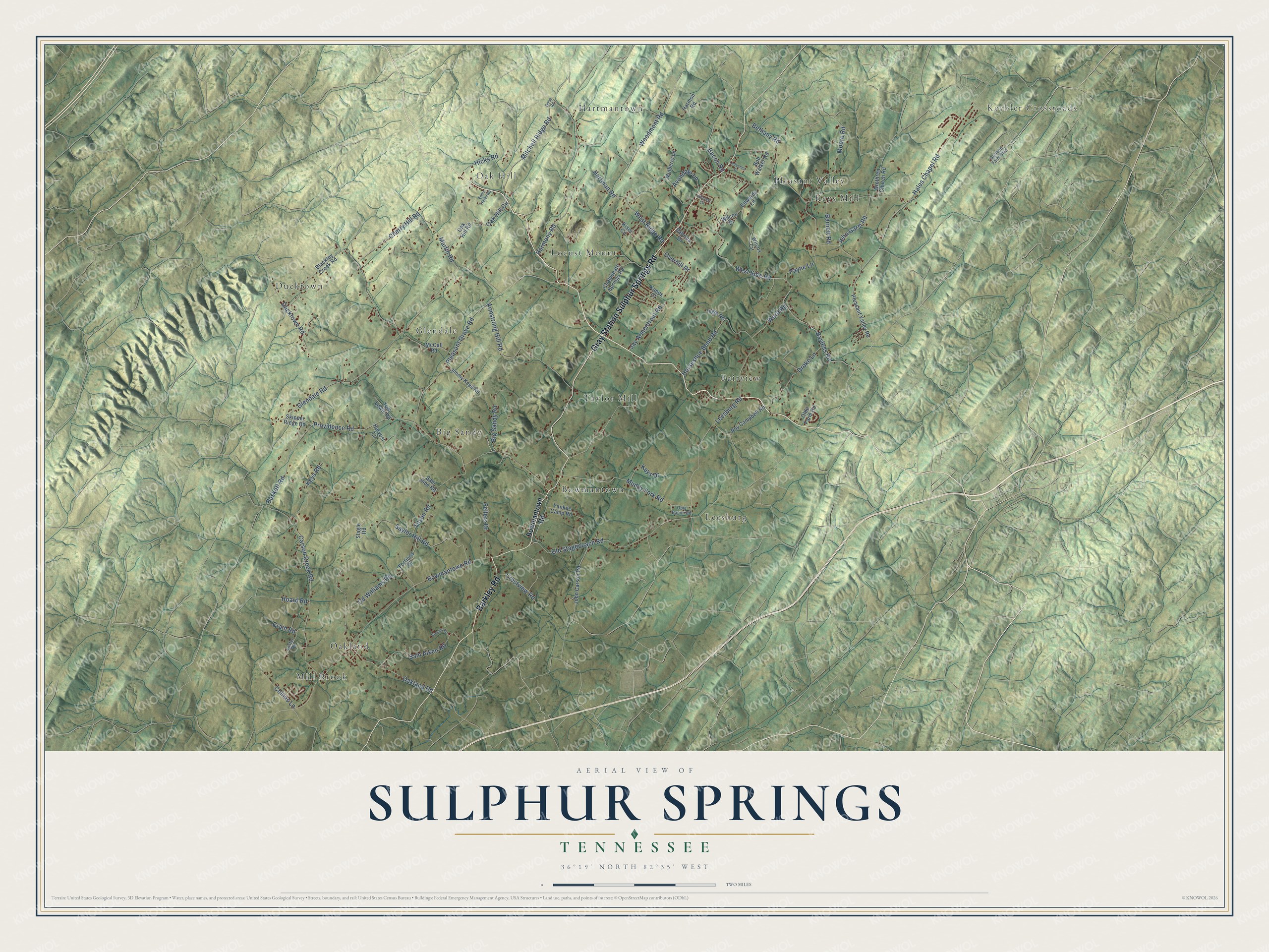
This beautifully detailed map of Sulphur Springs, Tennessee was created in 2026 using aerial imagery combined with modern topographical, census, street and landmark data. It’s a one-of-a-kind view of Sulphur Springs that combines accurate data with a vintage aesthetic. The map shows every building in its true location, many of the roads carry their names, and the shaded topographic relief shows the shape of the land.
Explore an aerial view of Sulphur Springs, Tennessee
On the map you’ll find Keebler Crossroads, Mill Brook, Locust Mount, Bowmantown, Keys Mill, Ducktown, Hartmantown, Fairview, Taylor Mill, Leesburg, Oak Hill, Glendale, and more. If you look closely you can even find your house accurately drawn in its correct location. Zoom in on the preview to look for yours.
Did You Know?
From Internet Archive: "In the days of camp-meetings the Presbyterians had a camp ground at the Sulphur Springs and one in the McKnight settlement, near Milton."
Sulphur Springs is a community in Washington County.
Take a closer look at the Sulphur Springs map
Names on this map
These names are printed on this map.
Places: Keebler Crossroads, Mill Brook, Locust Mount, Bowmantown, Keys Mill, Ducktown, Hartmantown, Fairview, Taylor Mill, Leesburg, Oak Hill, Glendale, Oakland, Big Sandy and Pleasant Valley.
Streets and roads: Barkley Road, Gray Station Sulphur Springs Road, Baskett Road, Glendale Road, West Side Road, Bayless Road, Providence Road, Bowmantown Road, Saylor Hill Road, Pleasant Grove Road, Hales Chapel Road, Carson Creek Road.
More street names, A to Z
Armstrong Hill Road, Avondale Lane, Bacon Road, Barnett Road, Bethany Road, Big Sandy Road, Blackley Creek Road, Bob Walker Road, Brethren Church Road, Broyles Road, Cd Williams Road, Chalybeate Springs Road, Cherry Hill Road, Collins Lane, Crain Road, Crestview Road, Droke Lane, Ducktown Road, Eddie Haren Road, Edwards Lane, Fellers Drive, Fortions Drive, Garland Farm Boulevard, Good Road, Harmon Road, Harmony Road, Hartman Road, Harvest Lane, Hicks Road, Hillcrest Circle, Hoard Road, Horseshoe Bend Road, Ingle Road, Jay Armentrout Road, Jimmy Keys Road, John Carson Road, John Garst Road, Kanes Court, Keys Drive, Keys Road, Kiser Circle, Ledeanna Drive, Leesburg Road, Luster Road, Martin Road, McCall Road, Mitchell Ridge Road, Moore Road, Muddy Fork Road, Mulberry Lane, Oak Hill Circle, Oak Hill Road, Oakland Road, Olde Farm Road, Old Stagecoach Road, Opie Bacon Road, Overhill Drive, Payne Lane, Pleasant Valley Road, Roy Campbell Road, Sabrina Drive, Sam Aiken Road, Sam Jobe Road, Skipper Ridge Road, Slagle Road, Tilson Road, Tom Lewis Road, Ward Road, West Ridge Road, Wilcox Circle, Wilcox Drive, Woodmont Road, Yankee Camp Road.
See it on a wall
The Sulphur Springs map as a framed print. Swipe for more.


This beautifully detailed map of Sulphur Springs makes an attractive addition to your office, library, or den, and it can even be used to teach children the geography and history of the area. It also makes a great gift for anyone with Sulphur Springs roots. When you’re done exploring, click here to get your copy of the Sulphur Springs map.