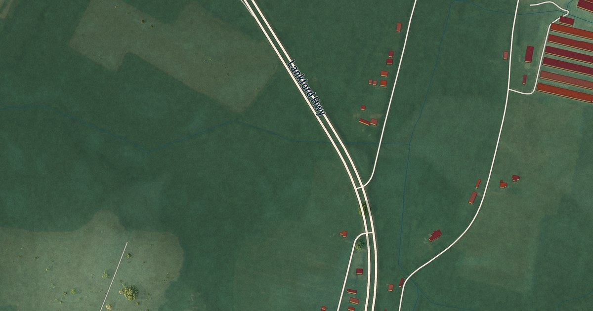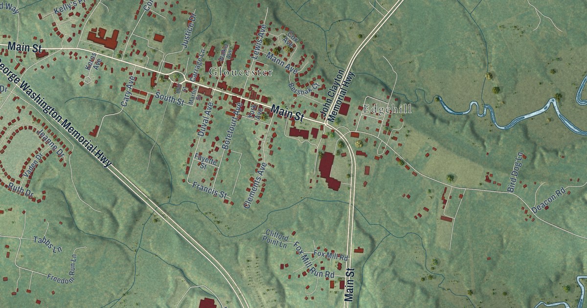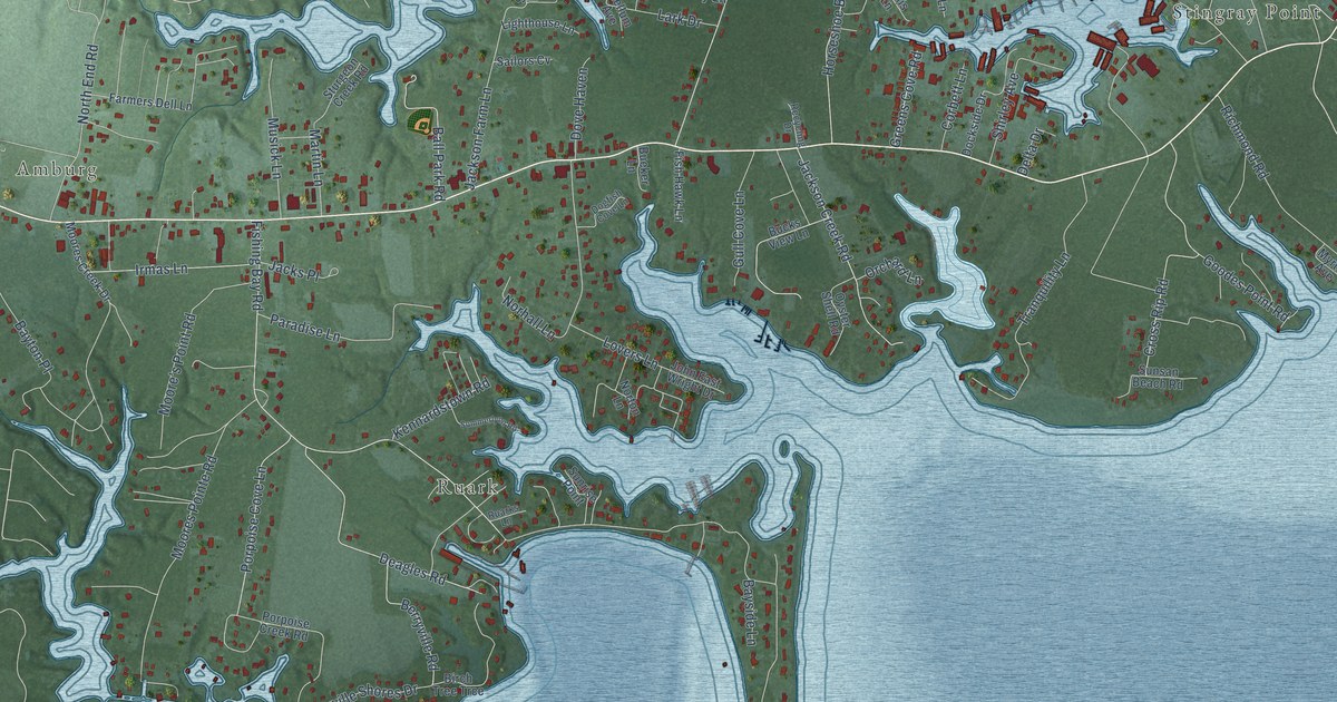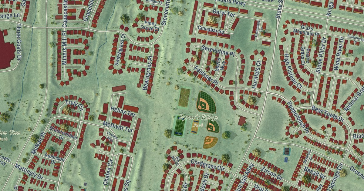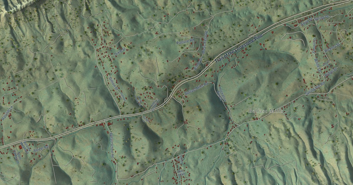
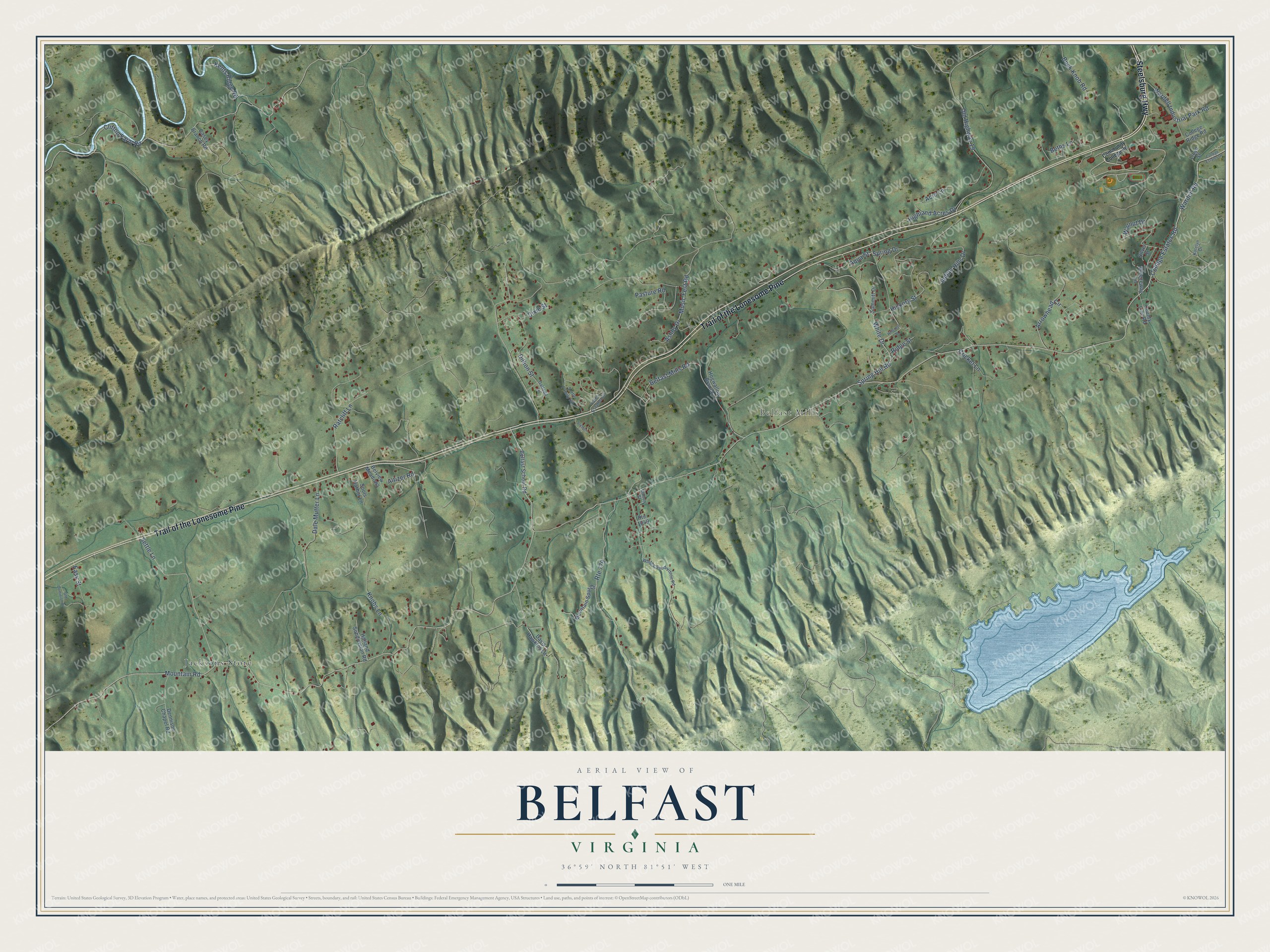
This beautifully detailed map of Belfast, Virginia was created in 2026 using aerial imagery combined with modern topographical, census, street and landmark data. It’s a one-of-a-kind view of Belfast that combines accurate data with a vintage aesthetic. The map shows every building in its true location, many of the roads carry their names, and the shaded topographic relief shows the shape of the land.
Explore an aerial view of Belfast, Virginia
On the map you’ll find Belfast Mills, Jacksons Store, and Trail of the Lonesome Pine, along with Steelsburg Highway, College Estates Road, Mountain Road, Hickory Street, Wardell Road, Walnut Drive, Spring Drive, White Drive, Music Fest Road, and more. If you look closely you can even find your house accurately drawn in its correct location. Zoom in on the preview to look for yours.
Did You Know?
From Internet Archive: "Jackson, as well as Calhoun, was of the Protestant Scotch-Irish race, that famous strain of blood that settled around Belfast and has made its mark in this country."
Belfast is a community in Russell County.
Take a closer look at the Belfast map
Names on this map
These names are printed on this map.
Places: Belfast Mills and Jacksons Store.
Streets and roads: Trail of the Lonesome Pine, Steelsburg Highway, College Estates Road, Mountain Road, Hickory Street, Wardell Road, Walnut Drive, Spring Drive, White Drive, Music Fest Road, Buck Knob Road, Route 779.
More street names, A to Z
Acre Lane, Altizer Road, Aqua Street, Arrowhead Circle, Ashby Drive, Belfast Mills Road, Belfast School Road, Belview Meadows, Beths Lane, Breezeway Lane, Casey Branch Road, Clifton Farm Road, College Estates Drive, College Ridge Road, Community College Road, County Line Road, Cricket Lane, Daffodil Lane, Dale Mutter Lane, Dalton Street, Davis Hawkins Lane, Dennison Chapel Road, Dillion Street, Dixie Street, Easy Street, Halland Subdivision Road, Highland Acres Drive, Hillcrest Street, Hogwallow Branch, Indian Hills Drive, Katelyn Drive, Kents Ridge Road, Knobs Lane, Lloyd Street, Mountain Spur Drive, Old Dominion Drive, Old Highway 19, Pasture Road, Ratcliff Lane, Ridge Street, Route 1049, Settle Family Road, Settle Lane, Silver Street, Souls Harbor Lane, Spring Hill Road, Stiltner Lane, Summitt Drive, Wardell Industrial Park Road, Whites Subdivision Road, Yates Estates Circle.
See it on a wall
The Belfast map as a framed print. Swipe for more.


This beautifully detailed map of Belfast makes an attractive addition to your office, library, or den, and it can even be used to teach children the geography and history of the area. It also makes a great gift for someone who left Belfast and still calls it home. When you’re done exploring, click here to get your copy of the Belfast map.