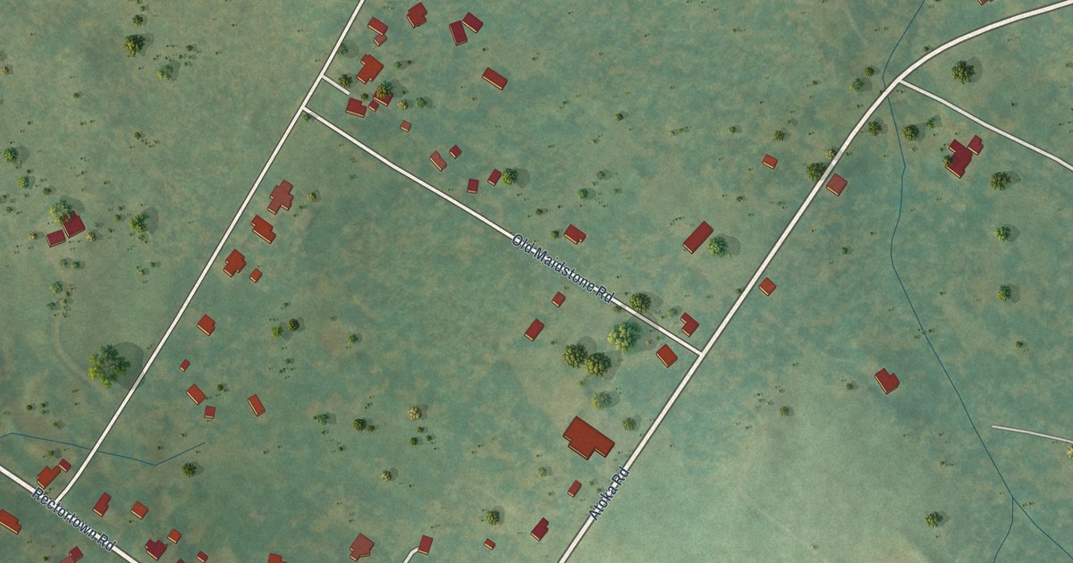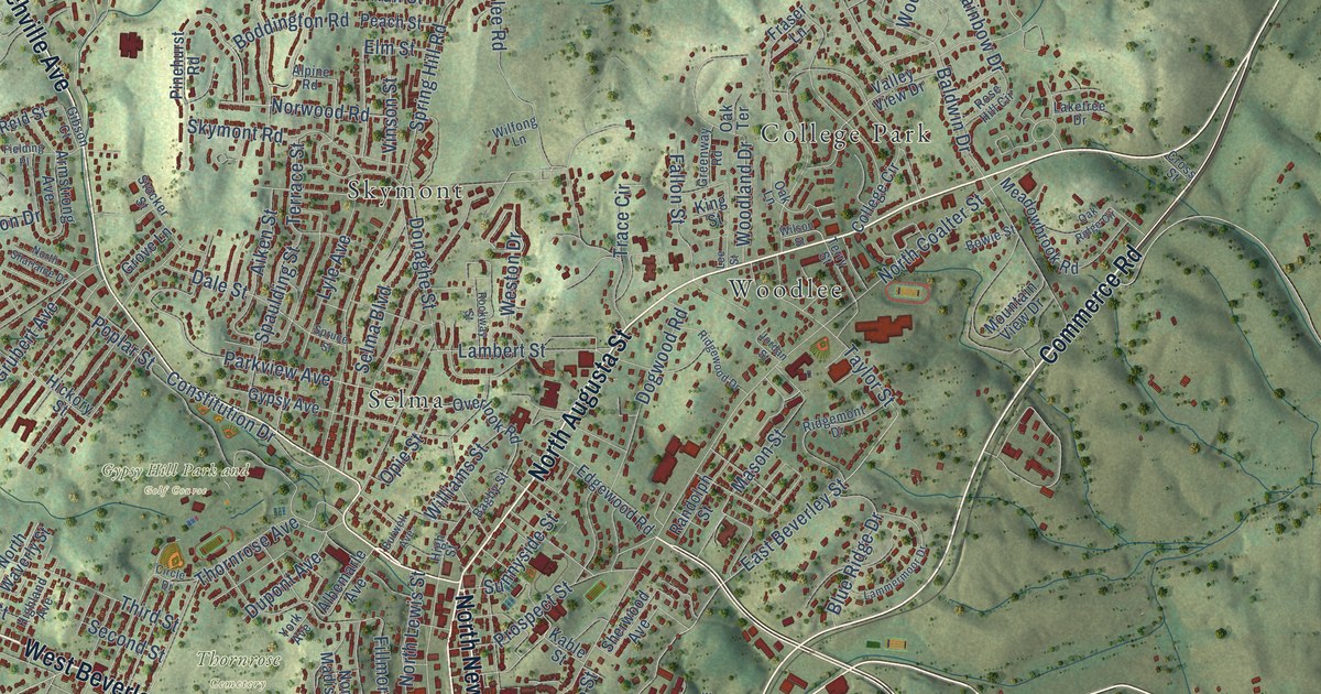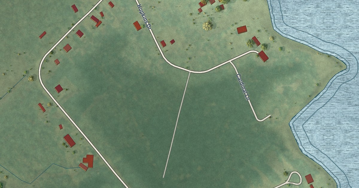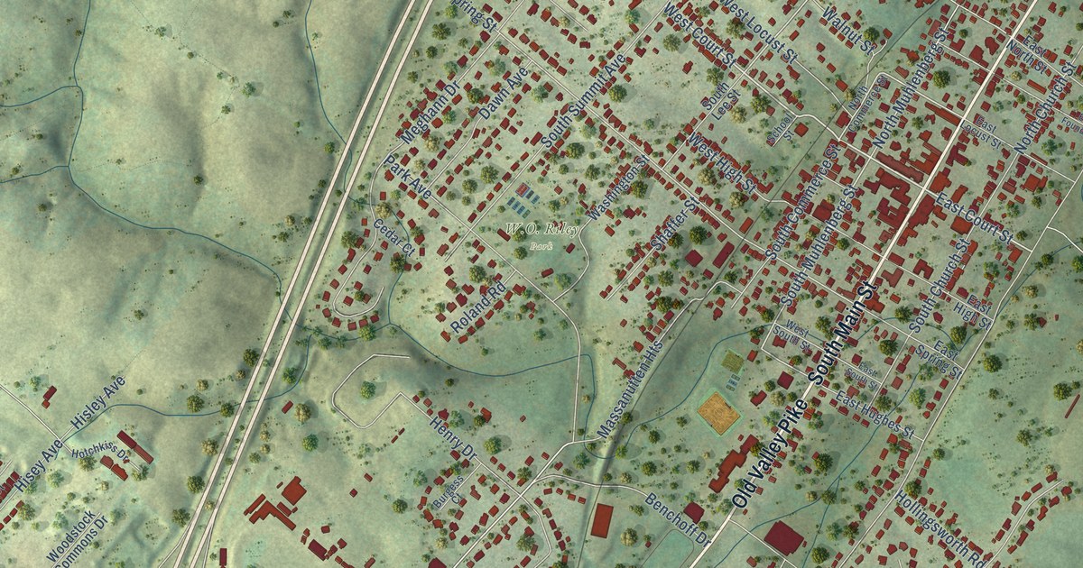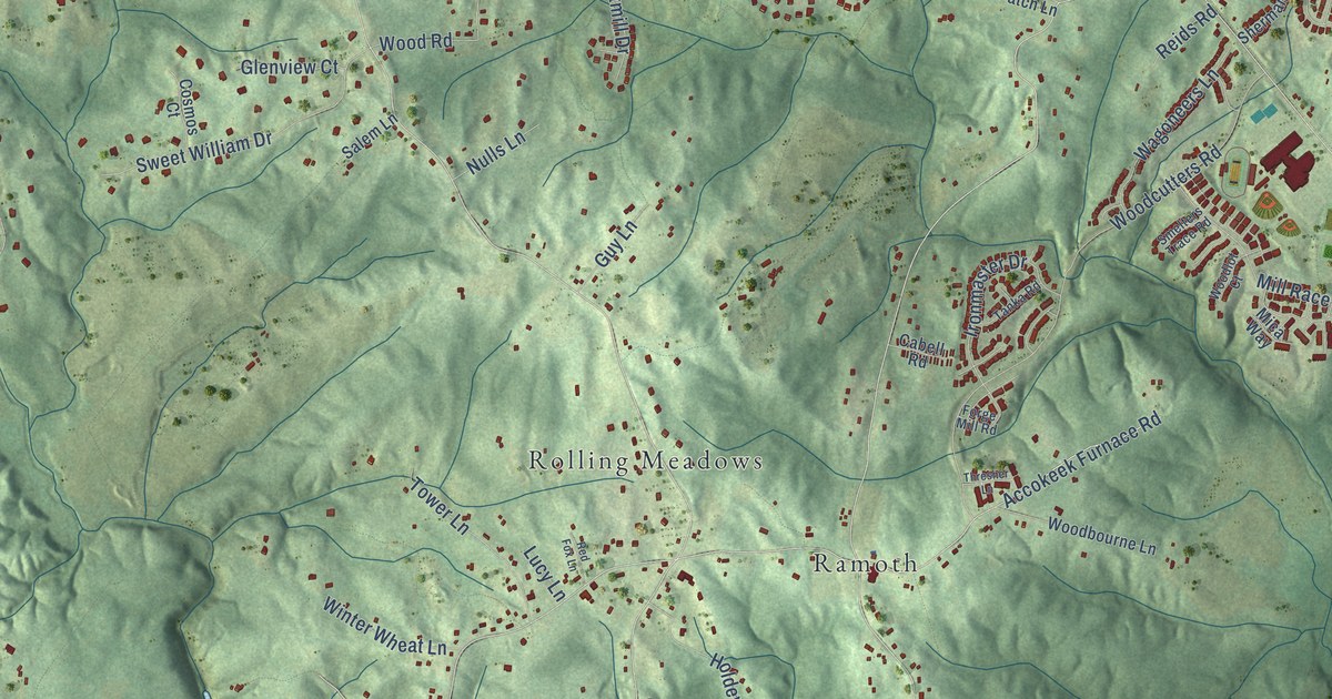
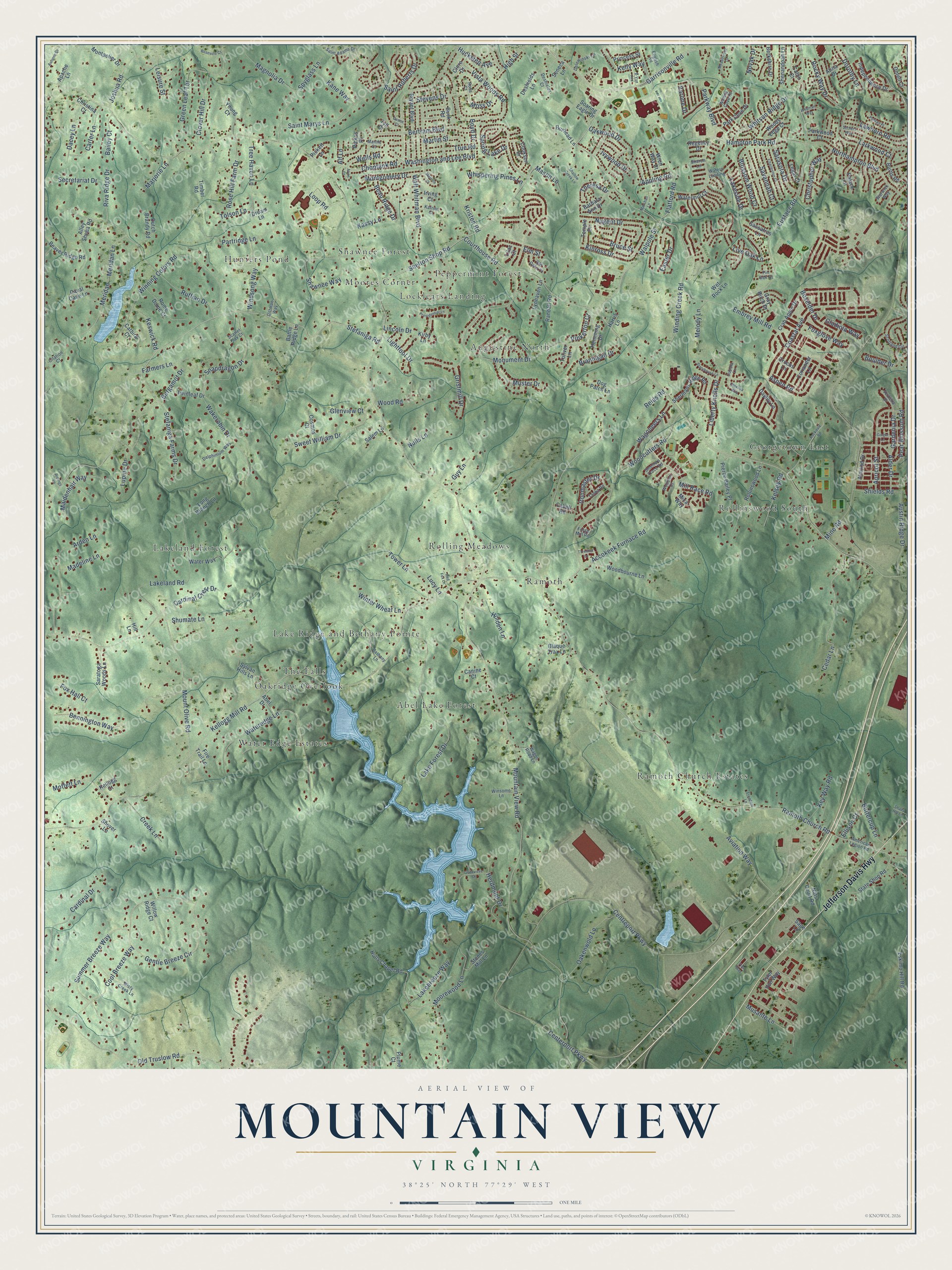
This beautifully detailed map of Mountain View, Virginia was created in 2026 using aerial imagery combined with modern topographical, census, street and landmark data. It’s a one-of-a-kind view of Mountain View that combines accurate data with a vintage aesthetic. The map shows every building in its true location, many of the roads carry their names, and the shaded topographic relief shows the shape of the land.
Explore an aerial view of Mountain View, Virginia
On the map you’ll find Georgetown East, Abel Lake Forest, Hunters Pond, Ramoth, Ramoth Church Estates, Augustine North, Lakeland Forest, Water Edge Estates, The Falls, Rollinswood South, Moores Corner, Lake Ridge and Bethany Pointe, and more. If you look closely you can even find your house accurately drawn in its correct location. Zoom in on the preview to look for yours.
Did You Know?
From Internet Archive: "The Methodist Episcopal Church South has four: the Wesleyan Female Institute, at Staunton; Martha Washington College, at Abingdon; Mountain View Seminary, at Bristol, and Danville Female College, at Danville."
Mountain View is a community in Stafford County.
Looking for a different Mountain View? Virginia also has Mountain View in Rockbridge County.
Take a closer look at the Mountain View map
Names on this map
These names are printed on this map.
Places: Georgetown East, Abel Lake Forest, Hunters Pond, Ramoth, Ramoth Church Estates, Augustine North, Lakeland Forest, Water Edge Estates, The Falls, Rollinswood South, Moores Corner, Lake Ridge and Bethany Pointe, Locklears Landing, Rolling Meadows, Shawnee Forest, Oakridge Overlook and Peppermint Forest.
Streets and roads: Jefferson Davis Highway, Shelton Shop Road, Walpole Street, Flatford Road, Mountain View Road, Kellogg Mill Road, Ramoth Church Road, Courthouse Road, Stefaniga Road, Garrisonville Road, Centerport Parkway, Mine Road.
More street names, A to Z
Abel Drive, Accokeek Furnace Road, Alder Drive, Alf Lane, Alley Sheba Road, Almond Drive, Alvin Court, American Legion Road, Apache Lane, Appling Road, Apricot Street, Arden Lane, Aspen Road, Atina Drive, Austin Ridge Drive, Autumn Drive, Aviation Way, B-Vue Avenue, Bailey Court, Barbara Ann Drive, Battle Ridge Lane, Beau Ridge Drive, Beaver Ridge Road, Bennington Way, Bergamot Drive, Berkshire Drive, Bertram Boulevard, Bethany Lane, Blaque Trax Lane, Blossom Wood Court, Boulder Drive, Boxelder Drive, Boyd Drive, Brannigan Drive, Bruce Street, Bryant Boulevard, Buck Road, Burhead Lane, Burns Road, Buttercup Lane, Cabell Road, Cabin Court, Canine Court, Cardinal Crest Drive, Cardinal Drive, Carter Lane, Catbird Court, Caval Cade Lane, Cedar Lane, Centreport Parkway, Charleston Court, Choptank Road, Christina Court, Christopher Way, Citation Court, Clore Drive, Clover Hill Drive, Coastal Avenue, Cookson Drive, Cool Breeze Way, Coriander Lane, Cosmos Court, Crab Apple Drive, Creek Lane, Crocus Lane, Cupola Lane, Dacey Lane, Daylily Lane, Deene Court, Delewinski Lane, Delphinium Way, Deshields Court, Deshields Lane, Dittman Way, Dog Patch Lane, Dorothy Lane, Dream Lane, Dutch Brandy Road, Easter Drive, Ellison Court, Elm Street, Embrey Mill Road, English Road, Eskimo Hill Road, Eustace Road, Farmers Lane, Fire Trail Lane, Flex Way, Forge Mill Road, Foxglove Way, Fox Hall Court, Freedom Lane, Gardenia Drive, Genevieve Court, Gentle Breeze Circle, Ginger Lane, Gladiola Way, Glenview Court, Gloxinia Way, Gray Birch Drive, Green Leaf Terrace, Gristmill Drive, Guy Lane, Hampton Park Road, Harris Lane, Hemming Drive, Herdmont Drive, High Street, Hill Lane, Holden Lane, Huckstep Avenue, Hulls Chapel Road, Independence Drive, Ironmaster Drive, Irving Court, Ivywood Drive, Joshua Road, Kane Way, Kassy Lane, Katrine Court, Kellogg Court, Kelly Way, Kelsey Road, Keswick Road, Key Way Road, Kinross Drive, Kirby Lane, Kristen Road, Lakebreeze Way, Lake Forest Drive, Lakeland Road, Lakeside Drive, Larkwood Court, Lawhorn Road, Legal Court, Leisure Street, Liberty Knolls Drive, Lightfoot Drive, Lilac Court, Lincoln Drive, Live Oak Lane, Long Branch Lane, Loop Road, Lucy Lane, Lupine Drive, Lynhaven Lane, Madeline Lane, Magnolia Drive, Maidenhair Way, Mantle Court, Marjorie Lane, Marshall Lane, Martin Street, Mason Lane, Meadowood Drive, Melody Lane, Melville Court, Meridan, Meridan Lane, Mica Way, Mill Race Road, Misty Creek Lane, Moffett Lane, Montgomery Drive, Montpelier Drive, Monument Drive, Moorewood Lane, Moss Drive, Mount Olive Road, Musante Lane, Muster Drive, Nats Court Road, Northampton Boulevard, Novak Drive, Nugent Drive, Nulls Lane, Oakenwold Lane, Oakwood Drive, Old Oaks Court, Old Truslow Road, Ontell Court, Palace Lane, Park Cove Drive, Parkway Boulevard, Parkwood Court, Partridge Lane, Pear Blossom Road, Pickett Lane, Pickos Place, Pierce Bailey Place, Pinkerton Court, Pin Oak Court, Plume Court, Presidential Lane, Princess Street, Puritan Place, Randall Road, Red Fox Lane, Regency Drive, Reids Road, Ridings Lane, Riva Ridge Drive, Rockdale Road, Rocky Way Drive, Rollinswood Lane, Rome Dome Court, Rosa Court, Rose Hill Farm Drive, Roseville Court, Ruffian Drive, Sage Lane, Saint Adams Drive, Saint Marys Lane, Saint Roberts Drive, Salem Lane, Sarasota Drive, Saratoga Woods Lane, Sassafras Lane, Savannah Court, Scarlet Flax Court, Scotland Circle, Secretariat Drive, Seneca Lane, Settlers Way, Shady Hill Lane, Shallow Creek Lane, Sharon Lane, Shawnee Way, Shenandoah Lane, Shermans Ridge Road, Shields Road, Shover Lane, Shumate Lane, Smelters Trace Road, Snapdragon Drive, Soaring Eagle Drive, Spring Lake Drive, Spyglass Lane, Statehouse Lane, State Shop Road, Stefaniga Farms Drive, Stevens Drive, Stones Mill Lane, Summer Breeze Way, Sweet William Drive, Sylvan Hills Lane, Tanka Road, Temple Drive, Theresa Drive, Thresher Lane, Timber Road, Toliver Lane, Tolson Lane, Tower Lane, Tree Haven Lane, True Road, Twinleaf Drive, Tyler Von Way, Tyll Court, Varone Drive, Verbena Drive, Vista Woods Road, Wagoneers Lane, Wagon Road Lane, Wakerobin Drive, Walt Whitman Boulevard, Warwick Way, Washington and Lee Boulevard, Wateredge Lane, Watermill Court, Waters Cove Court, Waters Landing, Water Way, Wedman Way, Wells Road, Wet Rock Lane, Whispering Pines Lane, Whitson Ridge Drive, Willow Ridge Court, Winding Creek Road, Windsong Way, Winning Colors Road, Winsome Lane, Winter Wheat Lane, Woodbourne Lane, Woodcutters Road, Woodlot Court, Wood Road, Woods Edge Court, Wren Way Court, Young Court.
See it on a wall
The Mountain View, Stafford County map as a framed print. Swipe for more.


This beautifully detailed map of Mountain View, Stafford County makes an attractive addition to your office, library, or den, and it can even be used to teach children the geography and history of the area. It also makes a great gift for anyone with Mountain View roots. When you’re done exploring, click here to get your copy of the Mountain View, Stafford County map.