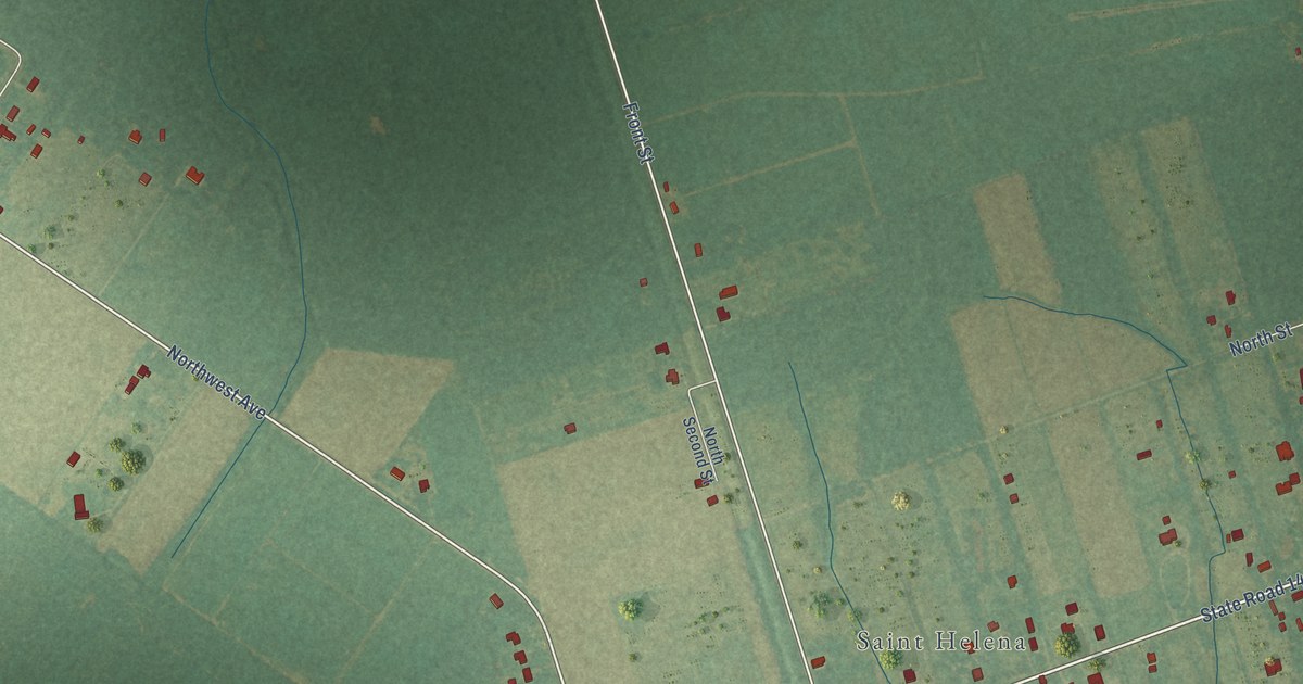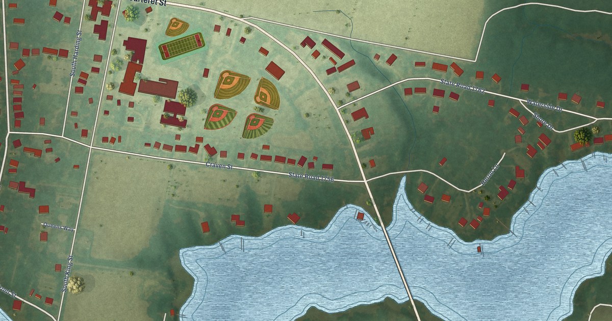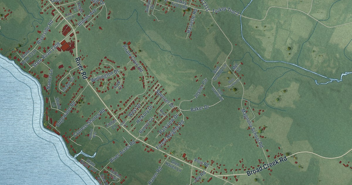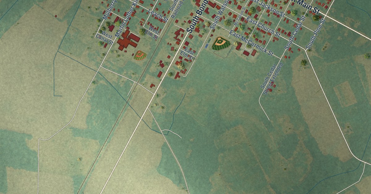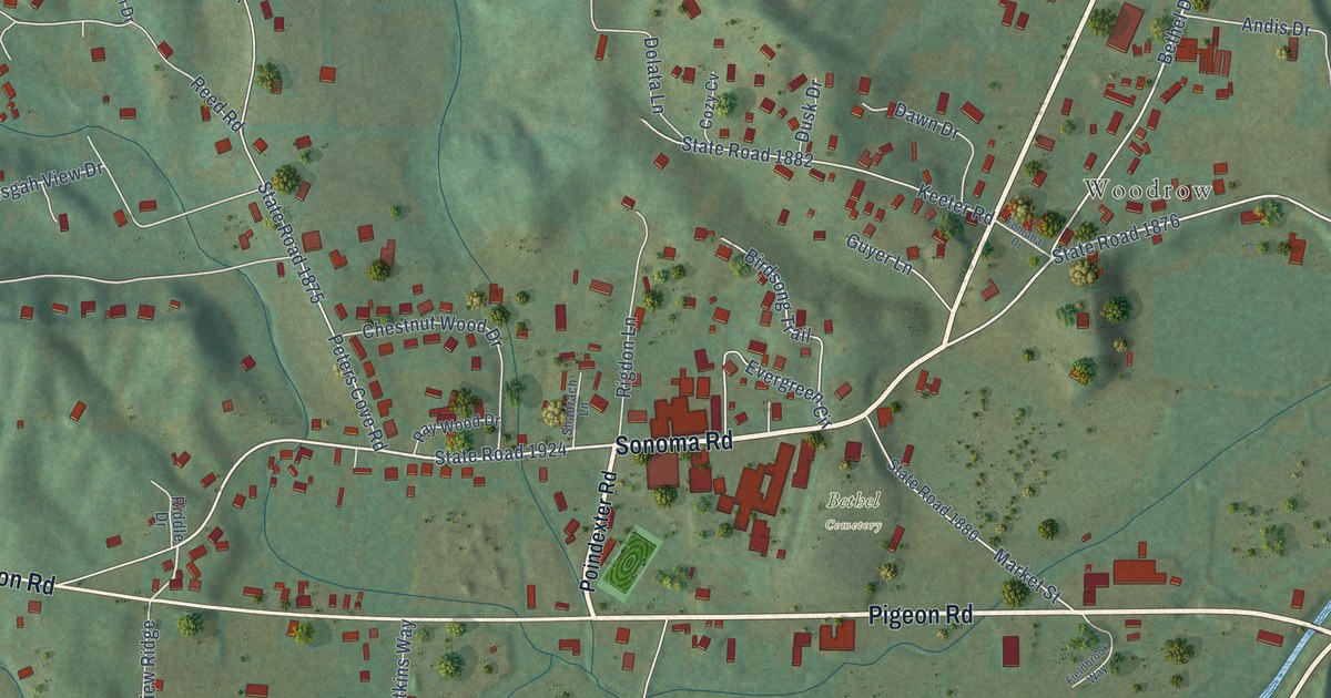
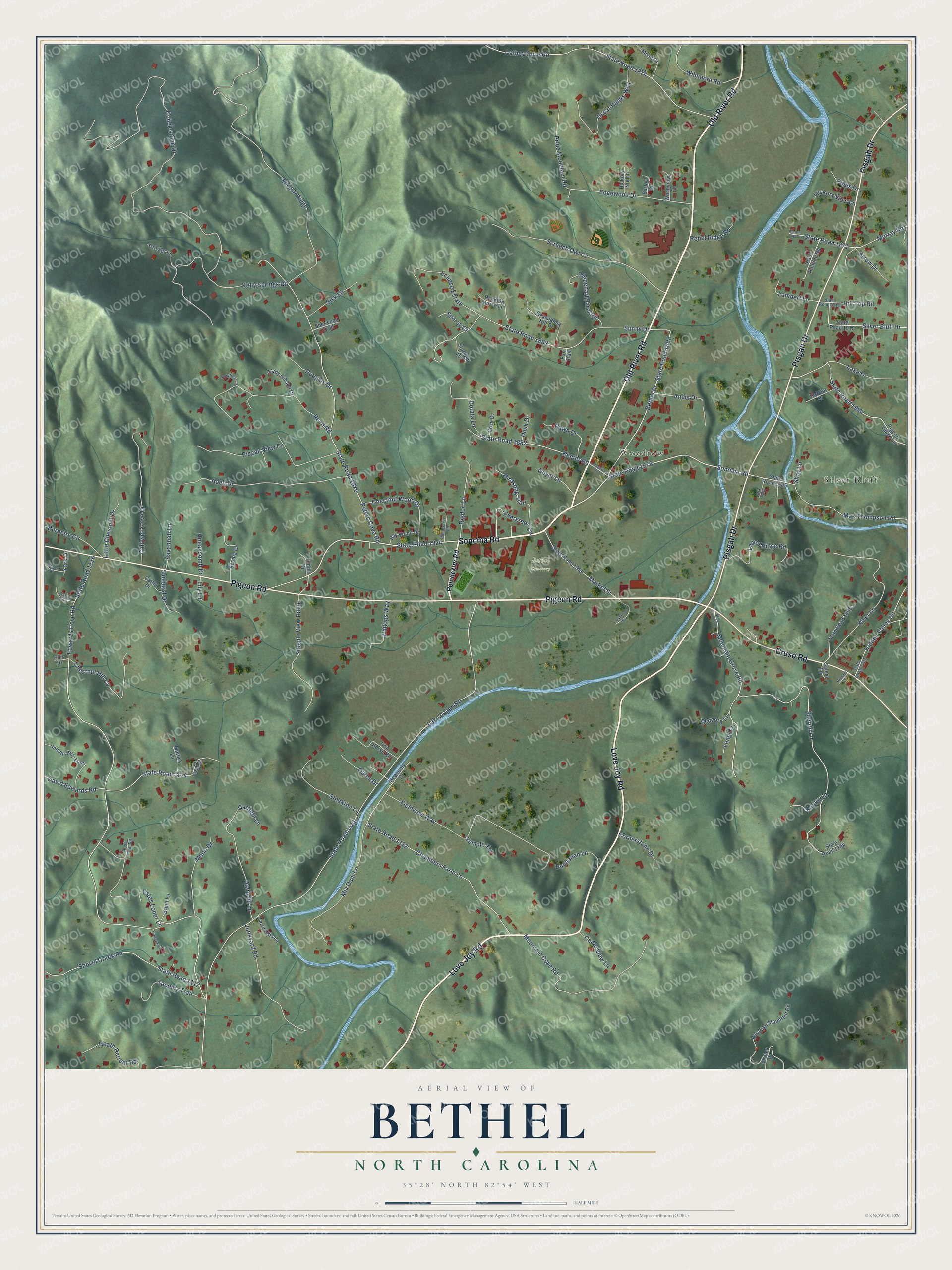
This beautifully detailed map of Bethel, North Carolina was created in 2026 using aerial imagery combined with modern topographical, census, street and landmark data. It’s a one-of-a-kind view of Bethel that combines accurate data with a vintage aesthetic. The map shows every building in its true location, many of the roads carry their names, and the shaded topographic relief shows the shape of the land.
Explore an aerial view of Bethel, North Carolina
On the map you’ll find Silver Bluff, Woodrow, and Bethel Cemetery, along with Old River Road, Sonoma Road, Love Joy Road, Pigeon Road, Pisgah Drive, Cruso Road, State Road 1882, Bethel Drive, State Road 1898, and more. If you look closely you can even find your house accurately drawn in its correct location. Zoom in on the preview to look for yours.
Did You Know?
From Internet Archive: "At Little Bethel a Confederate outpost of some strength was established, the main army being in the vicinity of Yorktown."
Bethel is a community in Haywood County.
Take a closer look at the Bethel map
Names on this map
These names are printed on this map.
Places: Silver Bluff, Woodrow, Bethel Cemetery and Ark Park.
Streets and roads: Old River Road, Sonoma Road, Love Joy Road, Pigeon Road, Pisgah Drive, Cruso Road, State Road 1882, Bethel Drive, State Road 1898, State Road 1876, State Road 1884, Edwards Cove Road.
More street names, A to Z
Acadia Place, Adell Drive, Andis Drive, Arabian Point, Arrow Drive, Berea Court, Birdsong Trail, Bruin Lane, Buchanan Lane, Burley Drive, Burnette Circle, Caldwell Cove Drive, Cathey Cove Road, Cattle Drive, Cedar View Lane, Chambers Farm Lane, Chestnut Hill Cv, Chestnut Wood Drive, Cobblestone Drive, Cornerstone Drive, Cozy Cv, Cricket Lane, Daffodil Lane, Daffodill Lane, David Edwards Road, Dawn Drive, Dolata Lane, Douglas Drive, Dusk Drive, Eclipse Estate, Edgewood Drive, Ellis Drive, Estes Loner Lane, Evergreen Circle, Fieldbrook Way, Fieldview Way, Flowering Drive, Fontana Drive, Fox Trail, Grady Gibson Drive, Groundhog Hill Drive, Guyer Lane, Habitat Drive, Heath Retreat Road, Heavenly Drive, Hickory Nut Lane, Hickory View Lane, Hidden Valley Circle, Hill Top Road, Honeycomb Drive, Indian Hills Loop, Iron Horse Road, Jericho Ridge, John Vance Road, Junkyard Road, Kaolin Lane, Keeter Road, Kelly Springs Road, Lake Drive, Lake Logan Road, Lambert Lane, Laurel Ridge Road, Lily Lane, Little Chestnut Drive, Long Cv, Mann Drive, Market Street, Martin Road, Matties Lane, Max Thompson Road, Memory Lane, Michael Lane, Mill Dam Lane, Mosa Drive, Mountain Cove Road, Mountain Grove Road, Murray Road, Oates Drive, Oscar Banks Way, Paradise Mountain Road, Paul Holland Road, Peters Cove Road, Pigeon Valley Lane, Pipes Drive, Pisgah View Drive, Poindexter Road, Pride Mountain Road, Racking Horse Lane, Ray Wood Drive, Rebel Ridge Road, Reed Road, Rhinehart Farm Road, Riddle Drive, Rigdon Lane, River Lane, Ross Farm Road, Salem Lane, Savannah Lane, Screech Owl Cv, Shadrach Lane, Shay Lane, Sherrill Lane, Sherwood Trail, Shovel Creek Road, Silver Bluff Drive, Sisk Lane, Starlight Drive, State Road 1105, State Road 1108, State Road 1109, State Road 1111, State Road 1112, State Road 1114, State Road 1116, State Road 1117, State Road 1871, State Road 1874, State Road 1875, State Road 1880, State Road 1883, State Road 1895, State Road 1914, State Road 1915, State Road 1921, State Road 1924, Steeple View Ridge, Stockton Lane, Sunburst Drive, Sunny Drive, Sunray Court, Tacoma Trail, Temple Terrace, Terry Ellis Lane, Towhee Lane, Venice Place, Watkins Way, Wilmoore Road, Woodview Drive, York Drive.
See it on a wall
The Bethel, Haywood County map as a framed print. Swipe for more.


This beautifully detailed map of Bethel, Haywood County makes an attractive addition to your office, library, or den, and it can even be used to teach children the geography and history of the area. It also makes a great gift for anyone who grew up in Bethel or moved away. When you’re done exploring, click here to get your copy of the Bethel, Haywood County map.