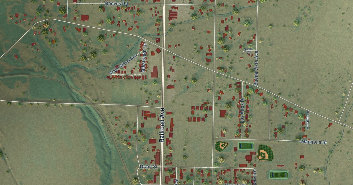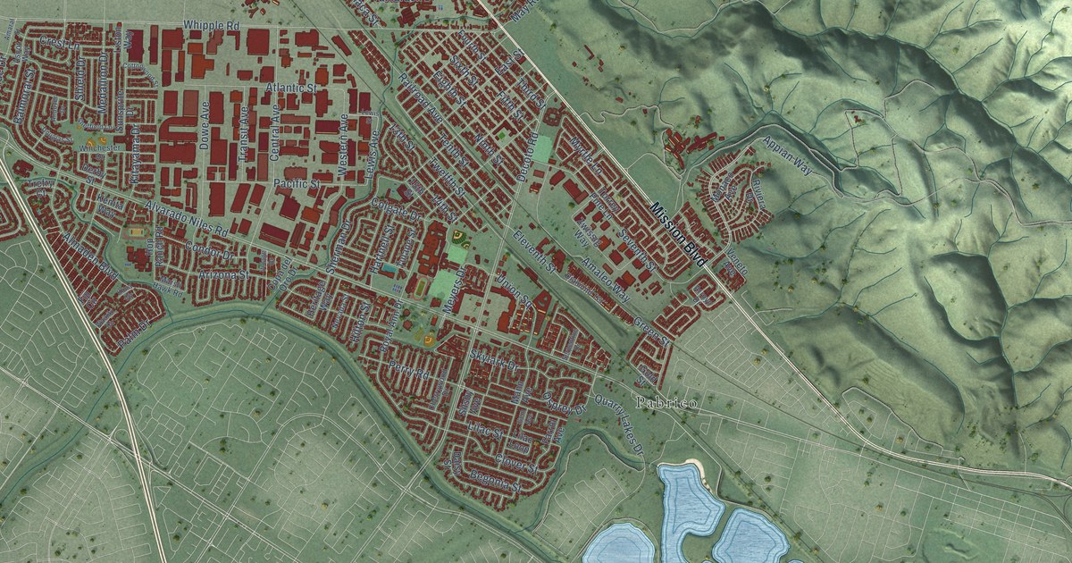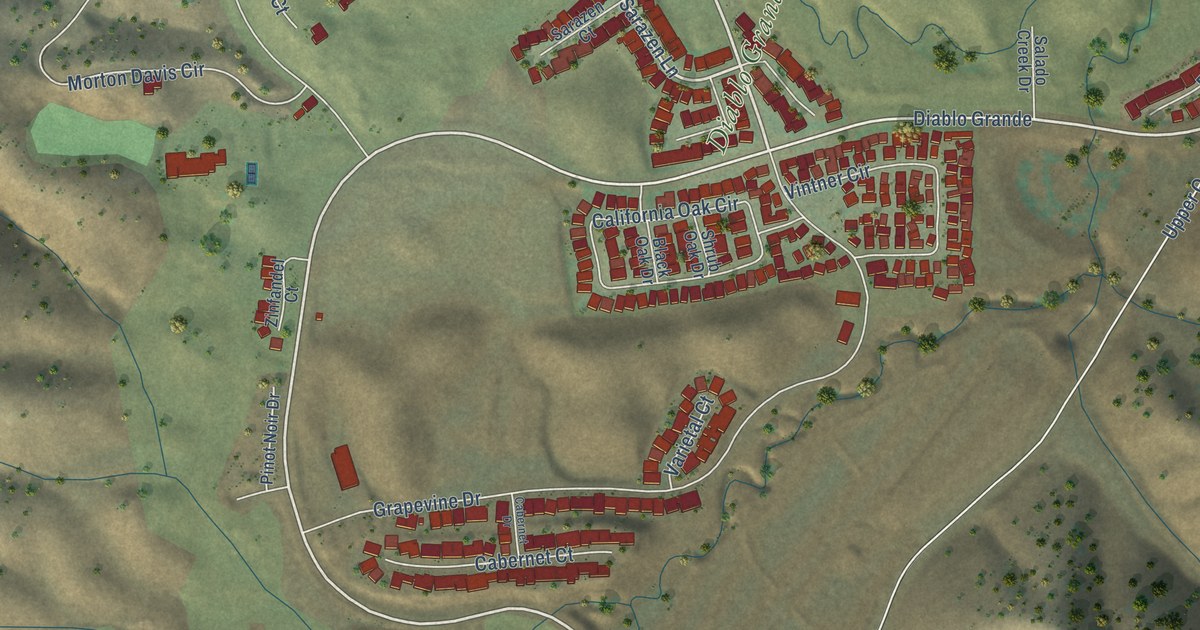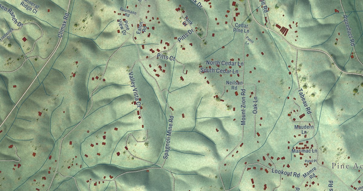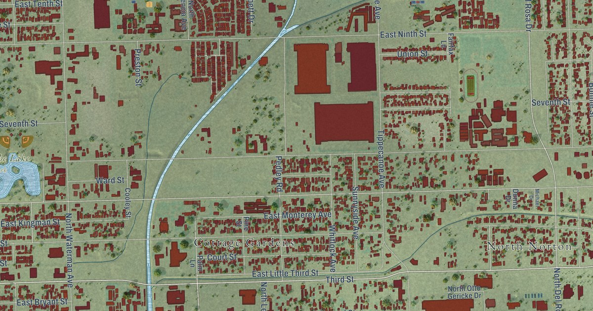
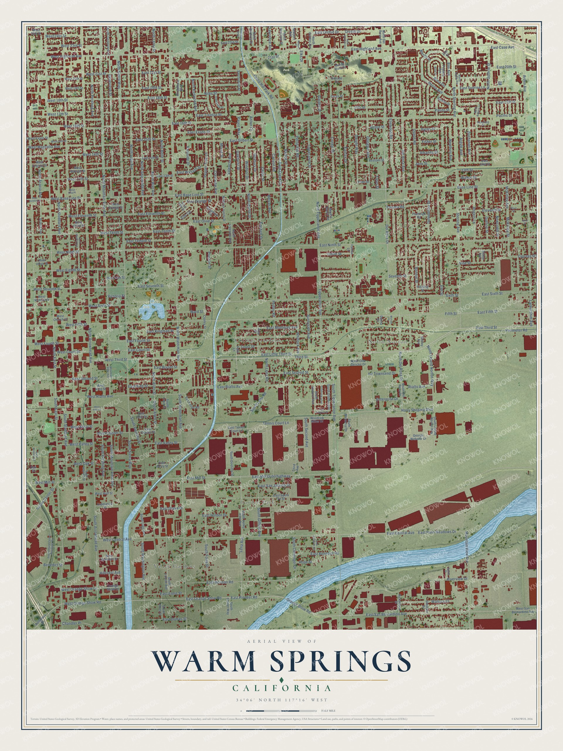
This beautifully detailed map of Warm Springs, California was created in 2026 using aerial imagery combined with modern topographical, census, street and landmark data. It’s a one-of-a-kind view of Warm Springs that combines accurate data with a vintage aesthetic. The map shows every building in its true location, many of the roads carry their names, and the shaded topographic relief shows the shape of the land.
Explore an aerial view of Warm Springs, California
On the map you’ll find Garden Park, North Norton, Perris Hill Park, Seccombe Lake Park, Valley Gardens, and Cottage Gardens, along with East Third Street, Third Street, East Base Line Street, East San Bernardino Avenue, East Orange Show Road, East Pioneer Road, and more. If you look closely you can even find your house accurately drawn in its correct location. Zoom in on the preview to look for yours.
Did You Know?
From Internet Archive: "Landings were established thereon for vessels in the early days, the principal of which are Alviso's, Mayhew's, Beard's, Mowry's, Dumbarton's and Warm Springs."
Warm Springs is a community in San Bernardino County.
Take a closer look at the Warm Springs map
Names on this map
These names are printed on this map.
Places: Garden Park, North Norton, Perris Hill Park, Seccombe Lake Park, Valley Gardens and Cottage Gardens.
Streets and roads: East Third Street, Third Street, East Base Line Street, East San Bernardino Avenue, East Orange Show Road, East Pioneer Road, Orange Show Road, Union Street, West Orange Show Road, North East Street, Del Rosa Drive, East 17th Street.
More street names, A to Z
13th Street, 17th Street, 21st Street, Acacia Avenue, Amanda Street, Anson Street, Anton Court, Arden Avenue, Argyle Avenue, Art Townsend Drive, Autoplaza Drive, Barton Street, Base Line Street, Belvan Avenue, Benedict Street, Bessant Street, Bobbett Drive, Bonnie Street, Broadmoor Boulevard, Buchanan Avenue, Byron Street, Canyon Road, Cedar Street, Chandler Place, Conejo Drive, Cooley Street, Court Street, Crestview Avenue, Cross Street, Cypress Street, Del Rosa Avenue, Ditmar Avenue, Donna Drive, Dwight Way, East 13th Street, East 14th Street, East 15th Street, East 16th Street, East 18th Street, East 19th Street, East 20th Street, East 21st Street, East 23rd Street, East Benedict Road, East Berry Street, East Bryant Street, East Case Avenue, East Central Avenue, East Cluster Street, East Congress Street, East Court Street, East Drake Drive, East Dumas Street, East Eleventh Street, East Ennis Street, East Evans Street, East Fifth Street, East Fourth Street, East Gilbert Street, East Highland Avenue, East Holden Drive, East Jane Street, East Julia Street, East Kingman Street, East King Street, East Little Third Street, East Mill Outerhighway, East Mill Street, East Monterey Avenue, East Ninth Street, East Norman Road, East Olive Street, East Orange Street, East Orchid Drive, East Palm Meadows Drive, East Rialto Avenue, East San Jacinto Street, East Santa Fe Street, East Second Street, East Seventh Street, East Sixth Street, East Sunrise Lane, East Temple Street, East Tennis Court Lane, East Tenth Street, East Trenton Street, East Valley Street, East Wabash Street, Eleventh Street, Elks Drive, Elm Avenue, Elm Circle, Elm Court, Elmo Drive, Elm Street, Elmwood Road, Enterprise Drive, Esperanza Street, Fairfax Drive, Fairfax Lane, Fifth Street, Fisher Street, Flamingo Road, Fleming Street, Fremontia Drive, Garden Drive, Genevieve Street, George Webster Drive, Glasgow Avenue, Golondrina Drive, Guthrie Street, Harry Shepard Boulevard, Hillcrest Avenue, Hillside Drive, Hope Street, Inland Center Drive, Jane Street, Lankershim Avenue, Lawrence Avenue, Lena Avenue, Mansfield Street, McKinley Avenue, McKinley Street, Merito Avenue, Merito Place, Meyers Ranch Road, Michael Drive, Mitad Court, Monte Vista Drive, Morse Street, Mountain View Avenue, Mountian View Avenue, Newbury Avenue, Newcomb Street, Newport Avenue, Newport Street, Niles Street, North Acacia Avenue, North Alder Street, North Allen Street, North Argyle Avenue, North Arrowhead Avenue, North Belle Street, North Channel Street, North Del Rosa Avenue, North Del Rosa Drive, North Genevieve Street, North Golden Avenue, North Guthrie Street, North Harrison Street, North Kenwood Avenue, North La Junita Street, North Leland Norton Way, North Lena Road, North Leroy Street, North Lugo Avenue, North Mayfield Avenue, North Mountain Avenue, North Mountain View Avenue, North Myrtle Drive, North Otto Gericke Drive, North Pershing Avenue, North Rogers Lane, North Roxbury Drive, North Sepulveda Avenue, North Sierra Way, North Sterling Avenue, North Stoddard Avenue, North Tippecanoe Avenue, North Valencia Avenue, North Wall Avenue, North Waterman Avenue, Oakhurst Drive, Oak Street, Olive Street, Orange Show Lane, Orchid Drive, Osbun Road, Pacific Street, Palm Lane, Paloma Road, Parkside Drive, Paseo Way, Pasito Street, Pedley Road, Pepper Tree Lane, Perimeter Road, Perris Hill Park Road, Perris Hill Road, Pine Street, Pradera Avenue, Preston Street, Rialto Avenue, Richardson Street, Riverview Drive, Roca Circle, Rogers Lane, Roxbury Drive, San Felipe Road, San Gabriel Street, Serena Street, Seventh Street, Shedden Drive, Shirley Avenue, Sixth Street, South Alameda Street, South Allen Street, South Amos Street, South Arrowhead Avenue, South Berkeley Avenue, South Clevenger Drive, South Del Rosa Drive, South Doolittle Street, South Dorothy Street, South East Street, South Emmet Way, South Foisy Street, South Gifford Avenue, South Golden Avenue, South Inland Center Perimeter Drive, South Irwin Street, South Leland Norton Way, South Lena Road, South Lincoln Avenue, South Lugo Avenue, South Mayfield Street, South Memorial Drive, South Mountain View Avenue, South Newport Avenue, South Pershing Avenue, South Second Avenue, South Sierra Way, South Stoddard Avenue, South Sunnyside Avenue, South Tippecanoe Avenue, South Valley View Avenue, South Washington Avenue, South Waterman Avenue, Spade Drive, Sterling Avenue, Sunnyside Avenue, Sycamore Circle, Tennis Court Lane, Tenth Street, Third Avenue, Tippecanoe Avenue, Tippecanoe Street, Twin Creek Drive, Valencia Avenue, Victoria Street, Vine Street, Walker Street, Wallace Court, Ward Street, West 13th Street, West 14th Street, West 15th Street, West 16th Street, West 17th Street, West 18th Street, West 19th Street, West 20th Street, West 21st Street, West 23rd Street, West 24th Street, West 25th Street, West Athol Street, West Base Line Street, West Baseline Street, West Benedict Street, West Central Avenue, West Church Street, West Cluster Street, West Court Street, West Eighth Street, West Eleventh Street, West Evans Street, West Fifth Street, West Fourth Street, West Highland Avenue, West Hilda Street, West Huff Street, West Iola Place, West King Street, West Magnolia Avenue, West Mill Street, West Ninth Street, West Oak Street, West Olive Street, West Orange Show Lane, West Orange Street, West Rialto Avenue, West San Bernardino Avenue, West Second Street, West Seventh Street, West Sixth Street, West Tenth Street, West Third Street, West Union Street, West Valley Street, West Victoria Street, West Vine Street, West Virginia Street, West Wabash Street, Whitlock Avenue, Windsor Drive, Woodrow Miller Drive, Yates Street.
See it on a wall
The Warm Springs, San Bernardino County map as a framed print. Swipe for more.


This beautifully detailed map of Warm Springs, San Bernardino County makes an attractive addition to your office, library, or den, and it can even be used to teach children the geography and history of the area. It also makes a great gift for anyone with Warm Springs roots. When you’re done exploring, click here to get your copy of the Warm Springs, San Bernardino County map.