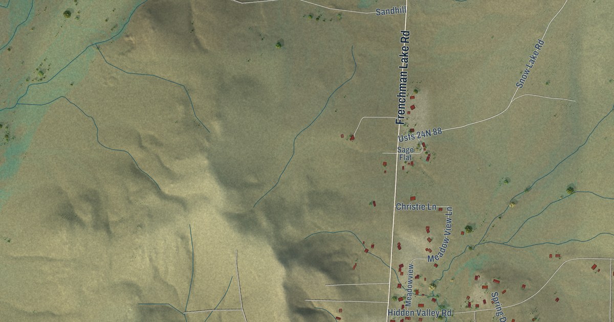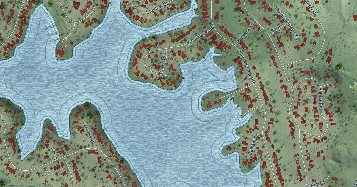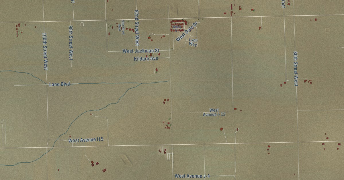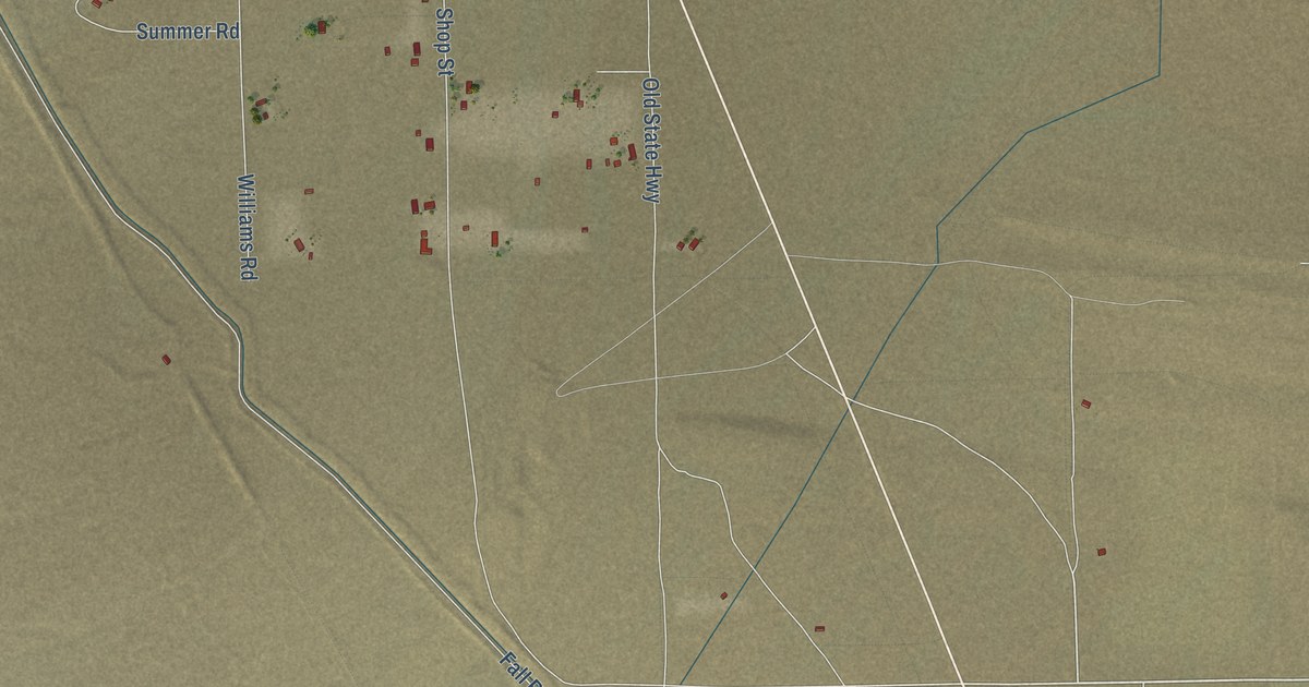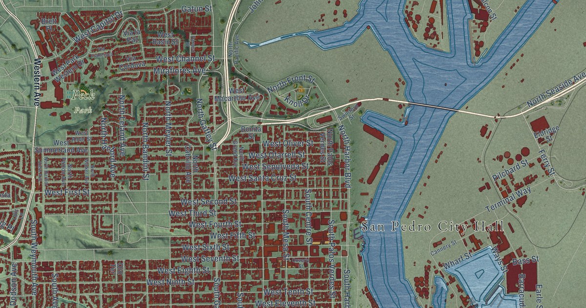
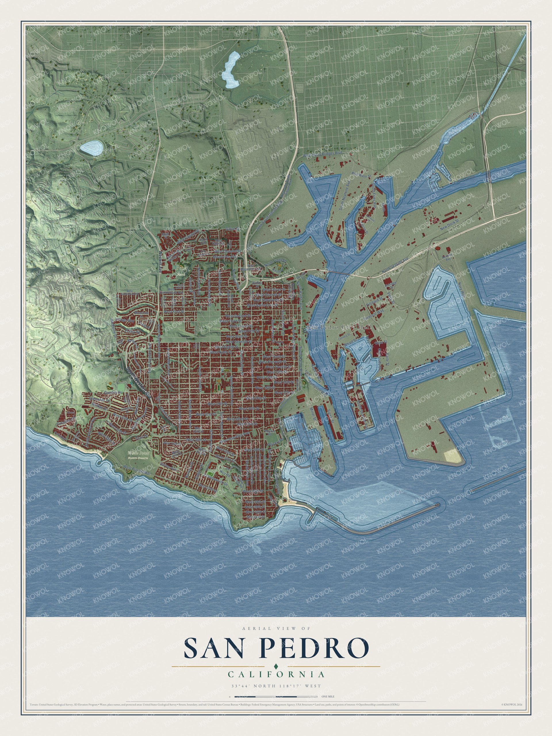
This beautifully detailed map of San Pedro, California was created in 2026 using aerial imagery combined with modern topographical, census, street and landmark data. It’s a one-of-a-kind view of San Pedro that combines accurate data with a vintage aesthetic. The map shows every building in its true location, many of the roads carry their names, and the shaded topographic relief shows the shape of the land.
Explore an aerial view of San Pedro, California
On the map you’ll find San Pedro City Hall, Peck Park, and White Point Nature Preserve, along with South Western Avenue, North Gaffey Street, North Seaside Avenue, Ferry Street, North Harbor Boulevard, South Harbor Boulevard, West Harry Bridges Boulevard, West Seventh Street, South Gaffey Street, and more. If you look closely you can even find your house accurately drawn in its correct location. Zoom in on the preview to look for yours.
Did You Know?
From Internet Archive: "In 1854, Don Abel Steams and Alfred Robinson built for trade between Boston and San Pedro the clipper ship Arcadia, named for Donna Arcadia, Steams' wife."
San Pedro is a place in Los Angeles County.
Take a closer look at the San Pedro map
Names on this map
These names are printed on this map.
Places: San Pedro City Hall, Peck Park and White Point Nature Preserve.
Streets and roads: South Western Avenue, North Gaffey Street, North Seaside Avenue, Ferry Street, North Harbor Boulevard, South Harbor Boulevard, West Harry Bridges Boulevard, West Seventh Street, South Gaffey Street, Terminal Way, West 25th Street, John South Gibson Boulevard.
More street names, A to Z
Almeria Street, Arthur Macarthur Road, Barbara Street, Barlow Saxton Road, Barracuda Street, Bass Street, Berth, Bluff Place, Bonita Street, Brett Place, Bynner Drive, Cannery Street, Catalina Vis, Coverly Street, Craig Place, Cumbre Drive, Dicha, Earle Street, Elanita Drive, Eldridge Street, El Rey Road, Falcon Street, Felicidad, Freeport Terrace, Gatun Street, Grenadier Drive, Hermosa Street, Knoll Drive, Leary Miriam Road, Leavenworth Drive, Le Grande Terrace, Lois Lane, Mantis Avenue, McRae Drive, Meyler Road, Milan Place, Miner Street, Miracosta Street, Miraflores Avenue, Miraleste Drive, Nagoya Way, Navy Way, Nco Road, New Dock Street, North Bandini Street, North Cabrillo Avenue, North Enrose Avenue, North Front Street, North Grand Avenue, North Hanford Avenue, North Harbor View Avenue, North Leland Avenue, North Meyler Street, North Pacific Avenue, North Palos Verdes Street, North Patton Avenue, North Walker Avenue, Officers Road, Orbit Lane, Oro Terrace, Paraiso Street, Pelican Avenue, Pilchard Street, Reeves Avenue, Sampson Way, Shepard Street, Shoshonean Road, Signal Street, Silvius Avenue, South Alma Street, South Anchovy Avenue, South Averill Avenue, South Beacon Street, South Cabrillo Avenue, South Carolina Street, South Centre Street, South Crescent Avenue, South Denison Avenue, South Dodson Avenue, South Fries Avenue, South Grand Avenue, South Kerckhoff Avenue, South Leland Street, South Malgren Avenue, South Mesa Street, South Meyler Street, South Moray Avenue, South Neptune Avenue, South Pacific Avenue, South Palos Verdes Street, South Patton Avenue, South Peck Avenue, South Seaside Avenue, South Walker Avenue, South Weymouth Avenue, Spring Street, Stargazer Avenue, Swinford Street, Timms Way, Titan Drive, Vallecito Drive, Via Cabrillo-Marina, Via Cordova, Via Francisca, Via la Paz, Village Way, Ways Street, West 13th Street, West 14th Street, West 15th Street, West 16th Street, West 17th Street, West 18th Street, West 19th Street, West 20th Street, West 21st Street, West 22nd Street, West 23rd Street, West 24th Street, West 26th Place, West 26th Street, West 27th Drive, West 27th Street, West 28th Street, West 29th Street, West 30th Street, West 31st Street, West 35th Street, West 36th Street, West 37th Street, West 38th Street, West 39th Street, West 40th Street, West Amar Street, West Basin Street, West Capitol Drive, West Channel Street, West Eighth Street, West Eleventh Street, Western Avenue, West Fifth Street, West First Street, West Fourth Street, West Hamilton Avenue, West John South Gibson Boulevard, West Macarthur Avenue, West Ninth Street, West Ofarrell Street, West Oliver Street, West Park Western Drive, West Pso del Mar, West Santa Cruz Street, West Second Street, West Sepulveda Street, West Sixth Street, West Summerland Avenue, West Summerland Street, West Tenth Street, West Third Street, West Twelfth Street, West Water Street, Wharf Street.
See it on a wall
The San Pedro map as a framed print. Swipe for more.


This beautifully detailed map of San Pedro makes an attractive addition to your office, library, or den, and it can even be used to teach children the geography and history of the area. It also makes a great gift for anyone with San Pedro roots. When you’re done exploring, click here to get your copy of the San Pedro map.