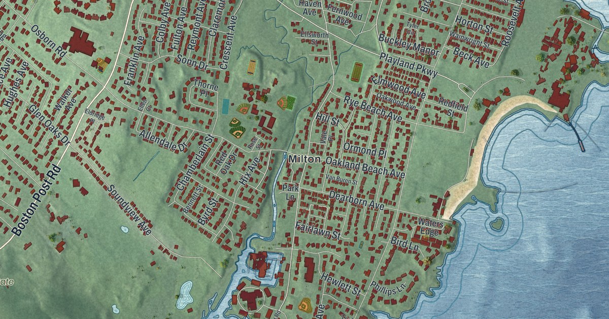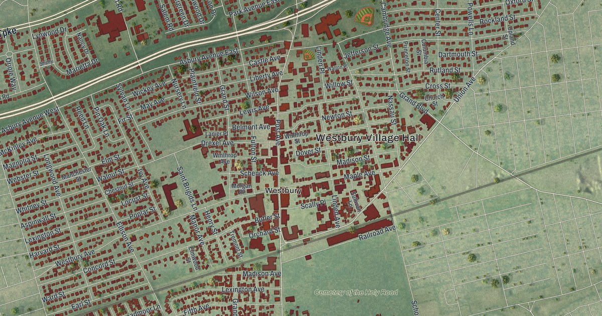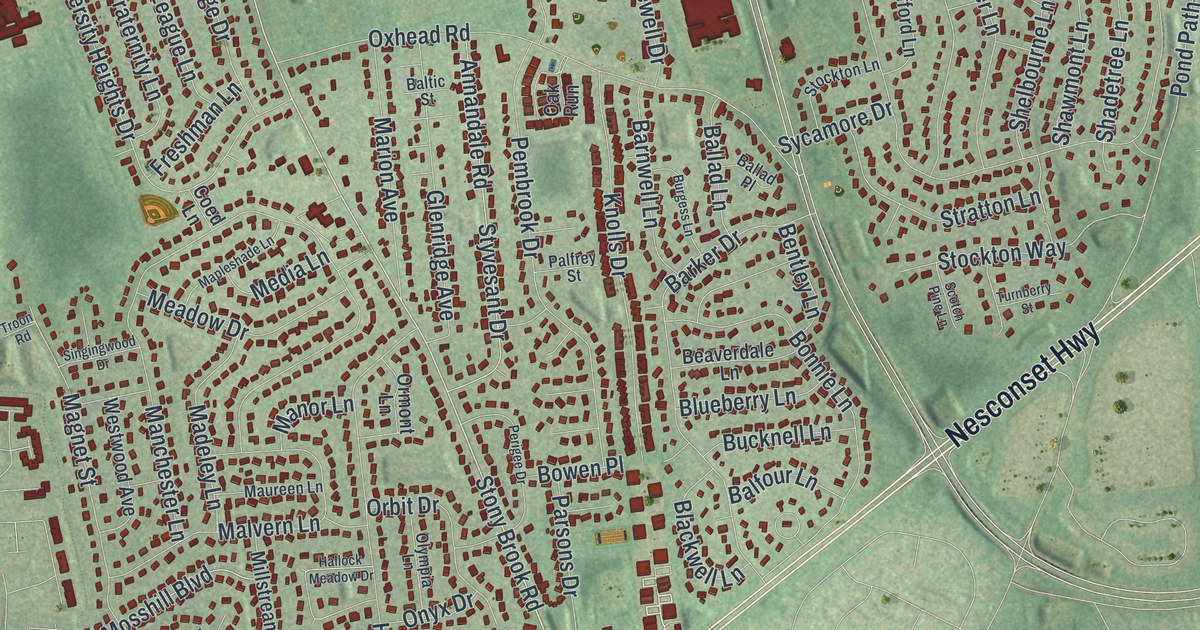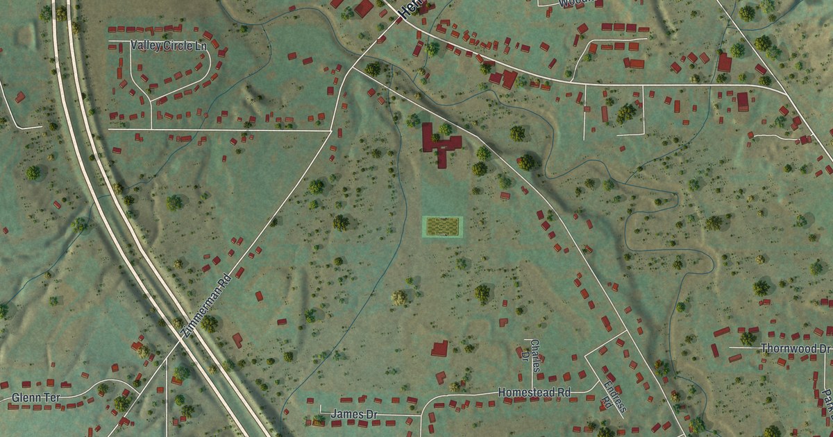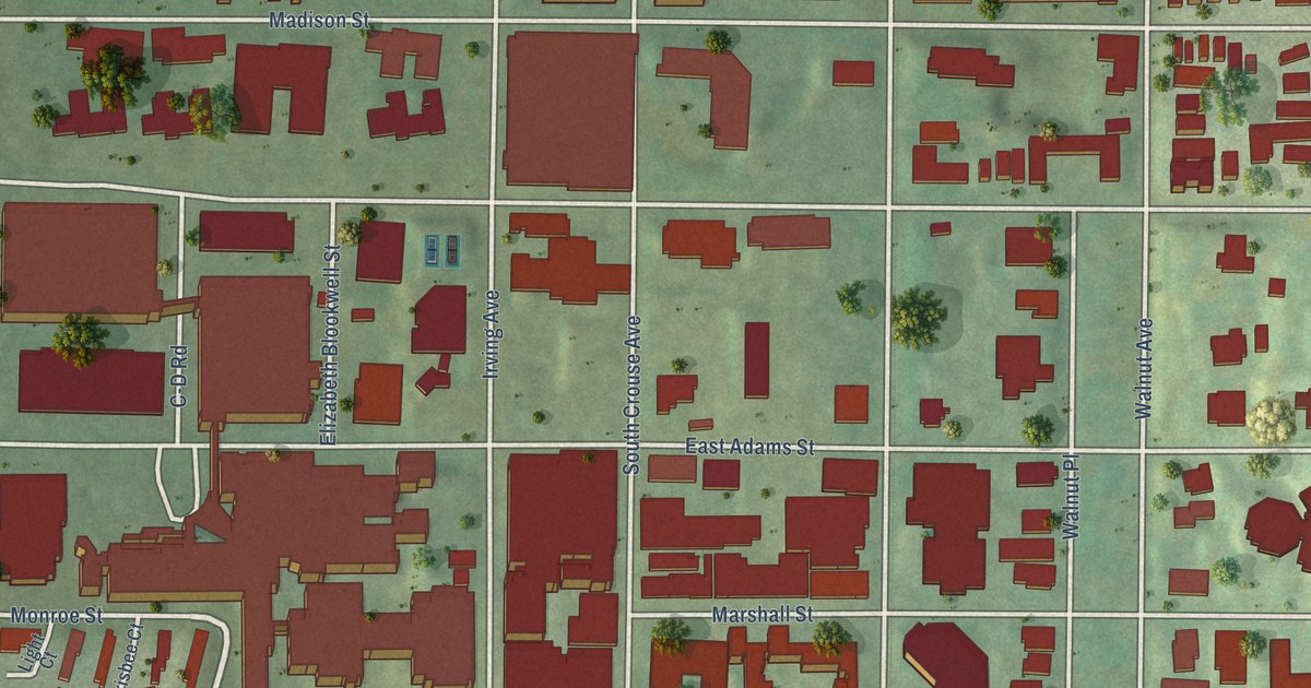
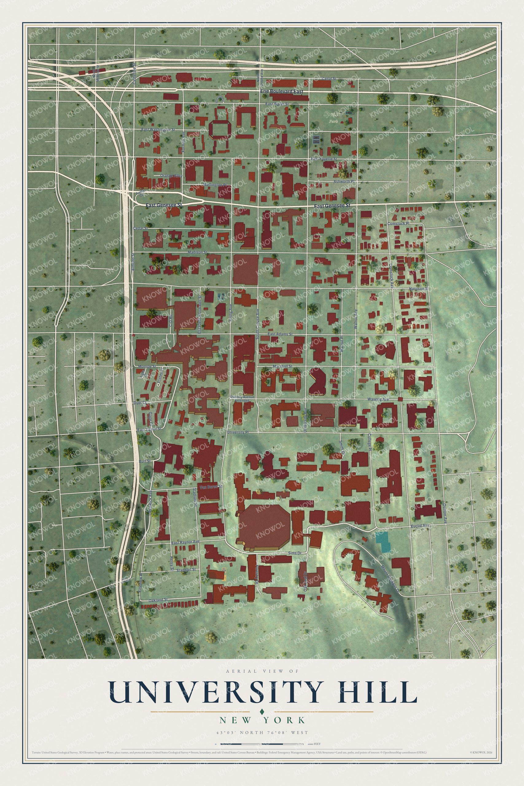
This beautifully detailed map of University Hill, New York was created in 2026 using aerial imagery combined with modern topographical, census, street and landmark data. It’s a one-of-a-kind view of University Hill that combines accurate data with a vintage aesthetic. The map shows every building in its true location, many of the roads carry their names, and the shaded topographic relief shows the shape of the land.
Explore an aerial view of University Hill, New York
On the map you’ll find Spencer Park, along with East Genesee Street, Erie Boulevard East, Sims Drive, Almond Street, Renwick Avenue, Oakland Street, Comstock Avenue, Irving Avenue, University Avenue, South Crouse Avenue, East Adams Street, and more. If you look closely you can even find your house accurately drawn in its correct location. Zoom in on the preview to look for yours.
Did You Know?
From Internet Archive: "A few scattered shanties were all the marks of human habitation in that region, extending from the present Fourth Presbyterian church to the foot of University Hill."
University Hill is a place in Onondaga County.
Take a closer look at the University Hill map
Names on this map
These names are printed on this map.
Places: Spencer Park.
Streets and roads: East Genesee Street, Erie Boulevard East, Sims Drive, Almond Street, Renwick Avenue, Oakland Street, Comstock Avenue, Irving Avenue, University Avenue, South Crouse Avenue, East Adams Street, Harrison Street.
More street names, A to Z
Ashworth Place, Burt Street, C-D Road, Canal Street, Catherine Street, Cedar Street, College Place, Comstock Place, Dyer Court, East Castle Street, East Fayette Street, East Raynor Avenue, East Taylor Street, East Washington Street, East Water Street, Elizabeth Blookwell Street, Euclid Avenue, Fineview Place, Forestry Drive, Forman Avenue, Frisbee Court, Gage Court, Henry Street, Light Court, Madison Street, Marshall Street, Monroe Street, Mount Olympus Drive, North Crouse Avenue, North McBride Street, Oak Leaf Drive, Orange Alley, Ostrom Avenue, Smith Drive, Stadium Place, Standart Street, Traffic Circle, University Place, Van Buren Street, Walnut Avenue, Walnut Place, Washington Street, Waverly Avenue, Waverly Avenue Extended, Wellington Place.
See it on a wall
The University Hill map as a framed print. Swipe for more.


This beautifully detailed map of University Hill makes an attractive addition to your office, library, or den, and it can even be used to teach children the geography and history of the area. It also makes a great gift for someone who left University Hill and still calls it home. When you’re done exploring, click here to get your copy of the University Hill map.