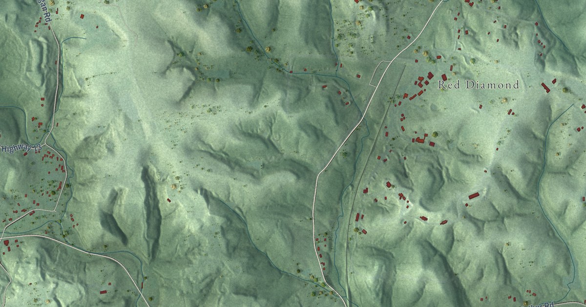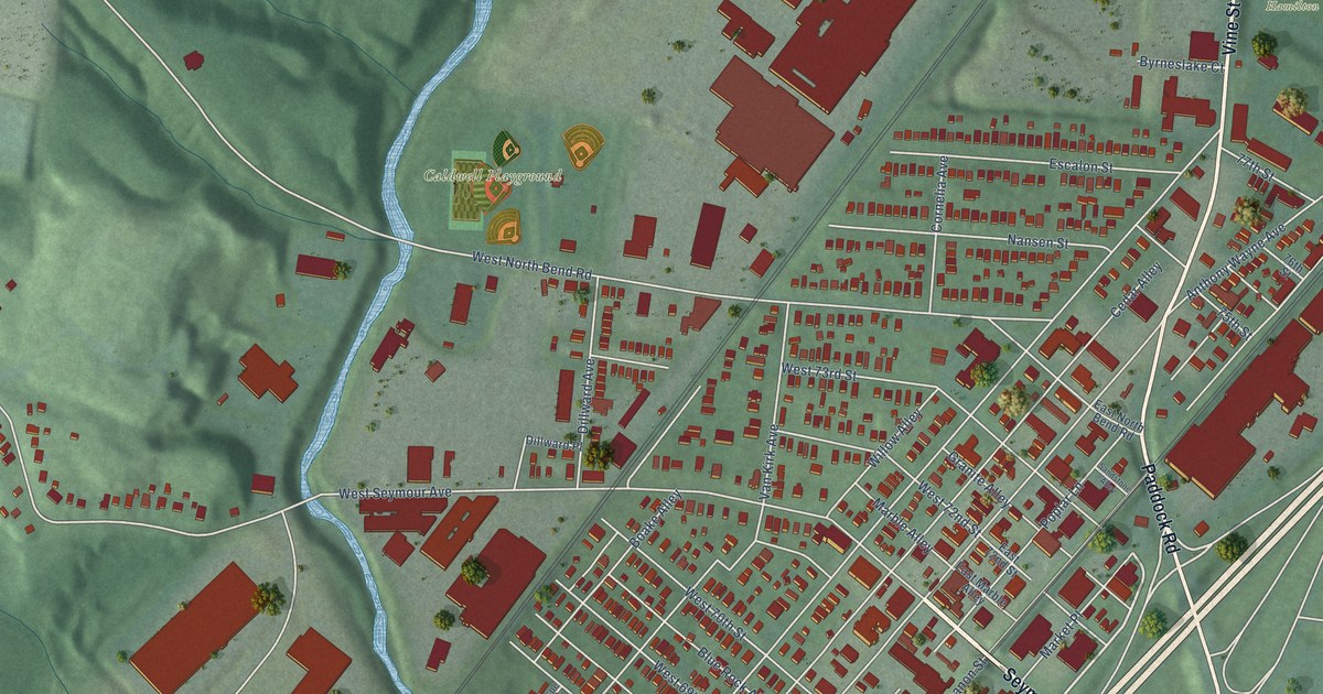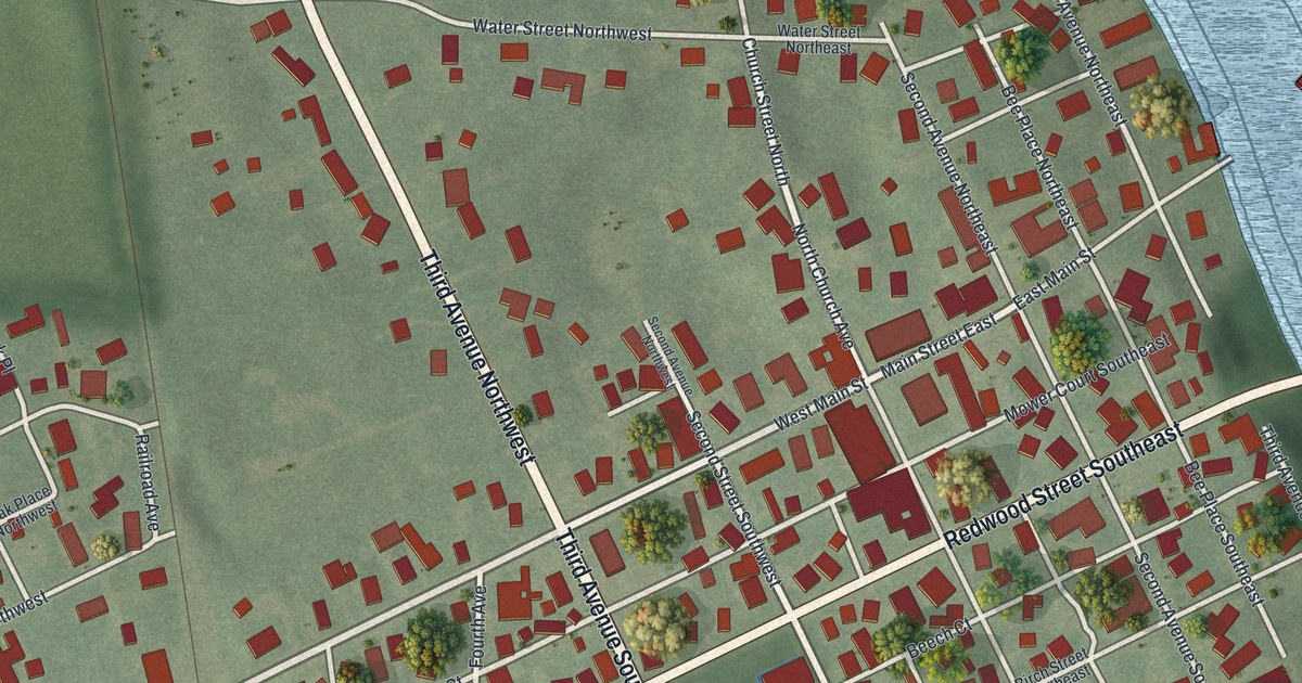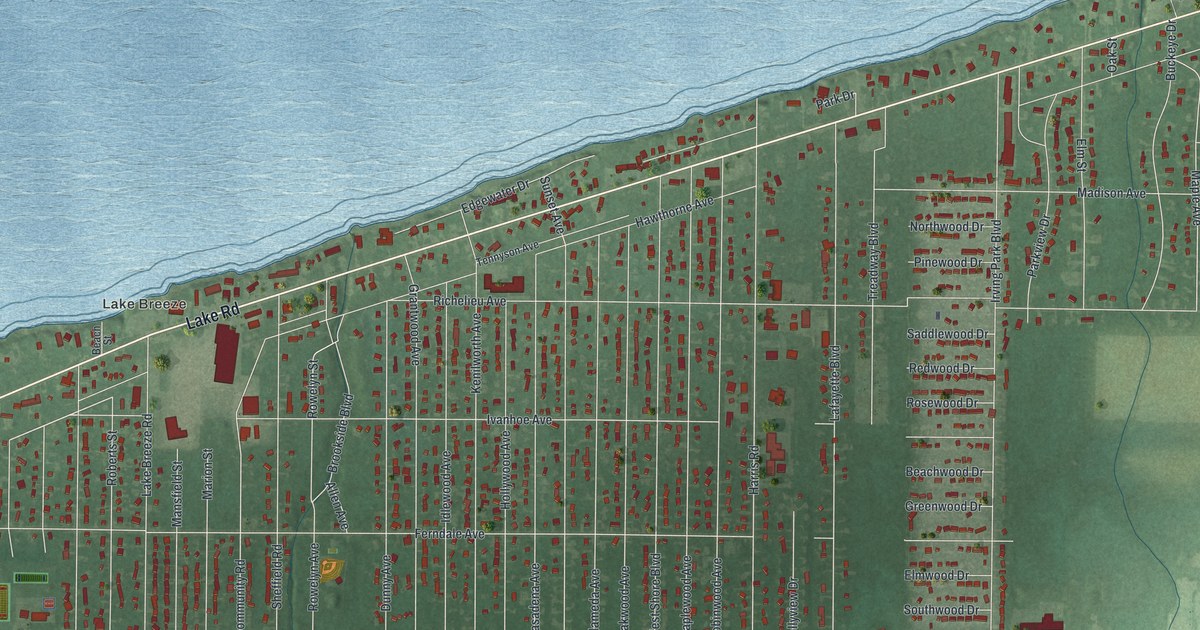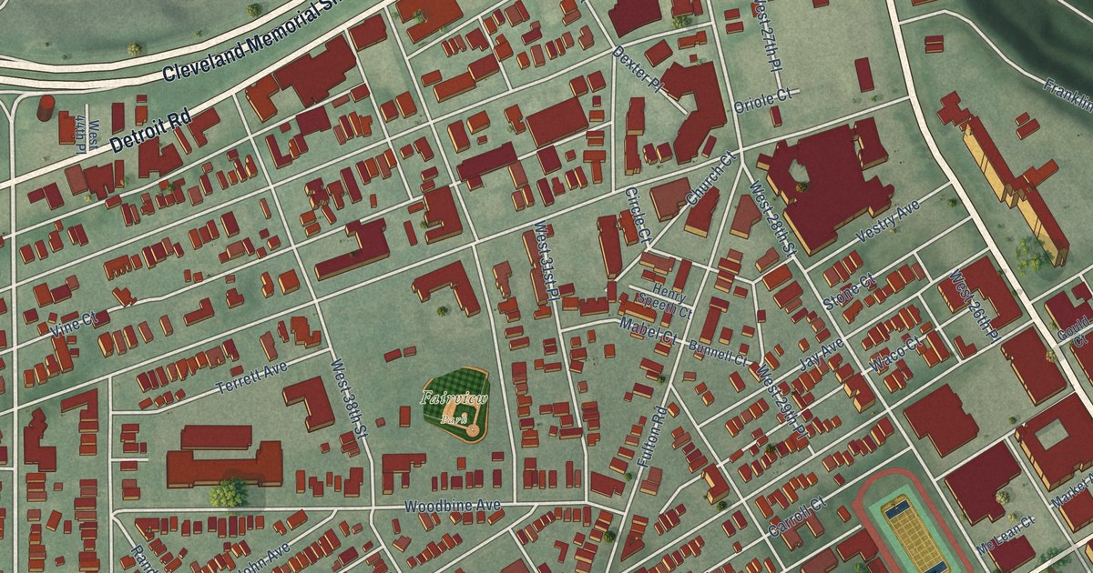
This beautifully detailed map of Ohio City, Ohio was created in 2026 using aerial imagery combined with modern topographical, census, street and landmark data. It’s a one-of-a-kind view of Ohio City that combines accurate data with a vintage aesthetic. The map shows every building in its true location, many of the roads carry their names, and the shaded topographic relief shows the shape of the land.
Explore an aerial view of Ohio City, Ohio
On the map you’ll find The Angle, Monroe Street Cemetery, Fairview Park, and Cleveland Memorial Shoreway, along with Lakeview Terrace, West 25th Street, Detroit Road, Lorain Avenue, West 45th Street, Turn Avenue, Gehring Avenue, West 28th Street, and more. If you look closely you can even find your house accurately drawn in its correct location. Zoom in on the preview to look for yours.
Did You Know?
From Internet Archive: "Settlers west of the Cuyahoga River had formed another community and incorporated it under the name of the City of Ohio, more commonly called Ohio City."
Ohio City is a place in Cuyahoga County.
Take a closer look at the Ohio City map
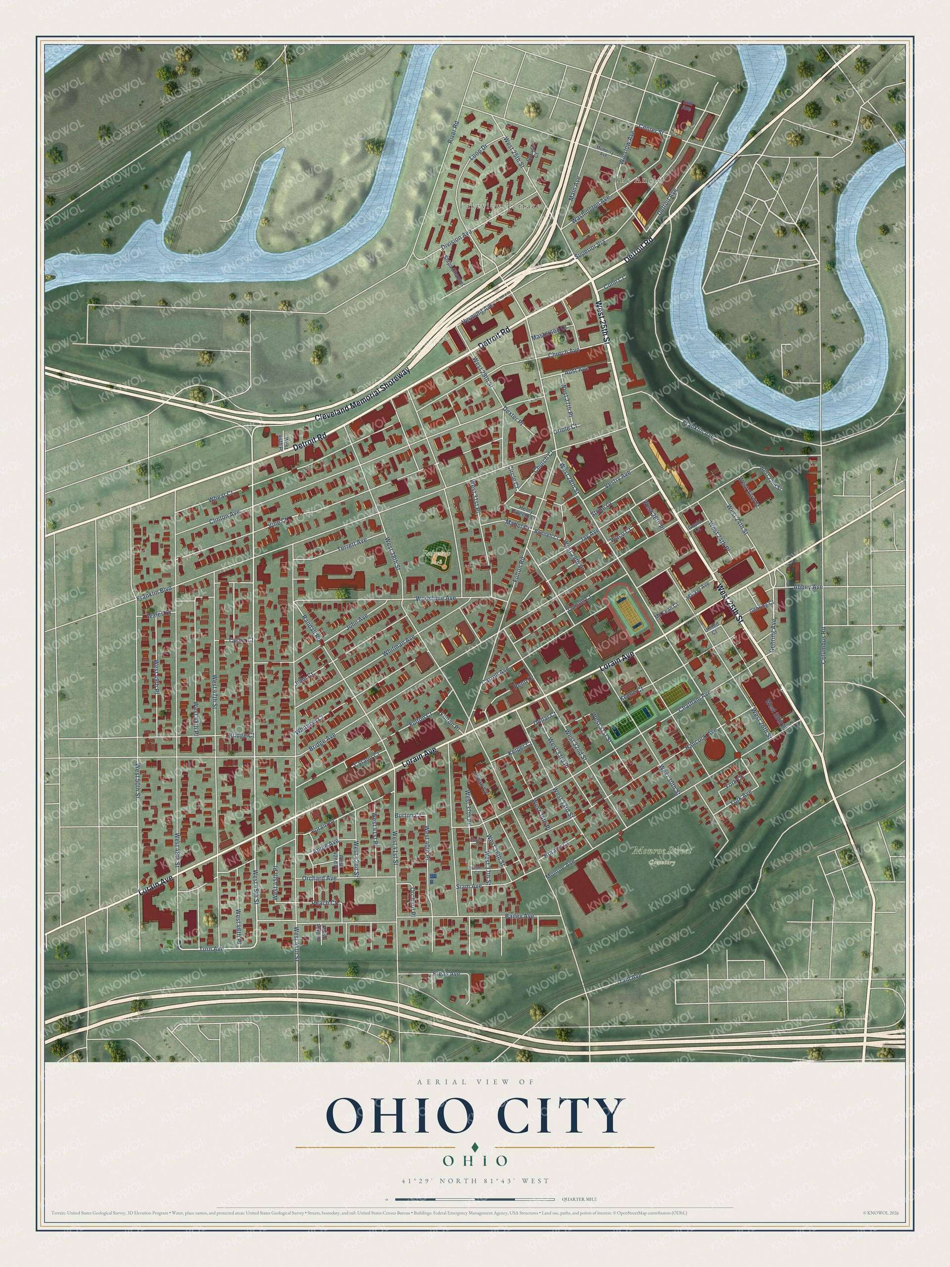
Names on this map
These names are printed on this map.
Places: The Angle, Lakeview Terrace, Monroe Street Cemetery and Fairview Park.
Streets and roads: Cleveland Memorial Shoreway, West 25th Street, Detroit Road, Lorain Avenue, West 45th Street, Turn Avenue, Gehring Avenue, West 28th Street, Detroit Avenue, Randall Road, West 24th Street, West 45th Place.
More street names, A to Z
Abbey Avenue, Apple Avenue, Aust Avenue, Bailey Avenue, Bridge Avenue, Bridge Court, Bunnell Court, Burton Court, Carroll Avenue, Carroll Court, Center Street, Chatham Avenue, Church Avenue, Church Court, Circle Court, Clinton Avenue, Columbus Road, Conn Court, Cyrano Court, Dexter Place, Division Avenue, Dollar Court, Elm Avenue, Elvira Court, Franklin Avenue, Franklin Boulevard, Freas Avenue, Fulton Court, Fulton Place, Fulton Road, Gehring Court, Gould Court, Hancock Avenue, Henry Speeth Court, Horace Court, Japan Court, Jay Avenue, John Avenue, John Court, Keene Court, Keiper Court, Loop Drive, Lorain Court, Mabel Court, Main Avenue, Market Avenue, Masterson Court, Mc Lean Court, Monroe Avenue, Mulberry Avenue, Orchard Avenue, Orchard Place, Oriole Court, Peach Court, Penn Court, River Road, Ships Channel, Siam Avenue, Siam Court, Spruce Court, Stone Court, Superior Via, Taylor Court, Terrett Avenue, Train Avenue, United Court, Vermont Avenue, Vestry Avenue, Vine Court, Waco Court, Wales Court, Washington Avenue, West 22nd Street, West 23rd Street, West 24th Place, West 25th Place, West 26th Place, West 26th Street, West 27th Place, West 29th Place, West 29th Street, West 30th Street, West 31st Place, West 31st Street, West 32nd Street, West 33rd Place, West 33rd Street, West 34th Place, West 36th Street, West 37th Place, West 37th Street, West 38th Street, West 40th Place, West 41st Place, West 41st Street, West 42nd Place, West 42nd Street, West 43rd Place, West 44th Place, West 44th Street, West 46th Place, West 47th Street, West 48th Place, West 48th Street, West 49th Place, West 50th Street, Wheat Court, Whitman Avenue, Whitman Court, Winslow Avenue, Woodbine Avenue, York Avenue, York Court.
See it on a wall
The Ohio City, Cleveland map as a framed print. Swipe for more.


This beautifully detailed map of Ohio City, Cleveland makes an attractive addition to your office, library, or den, and it can even be used to teach children the geography and history of the area. It also makes a great gift for anyone who grew up in Ohio City or moved away. When you’re done exploring, click here to get your copy of the Ohio City, Cleveland map.