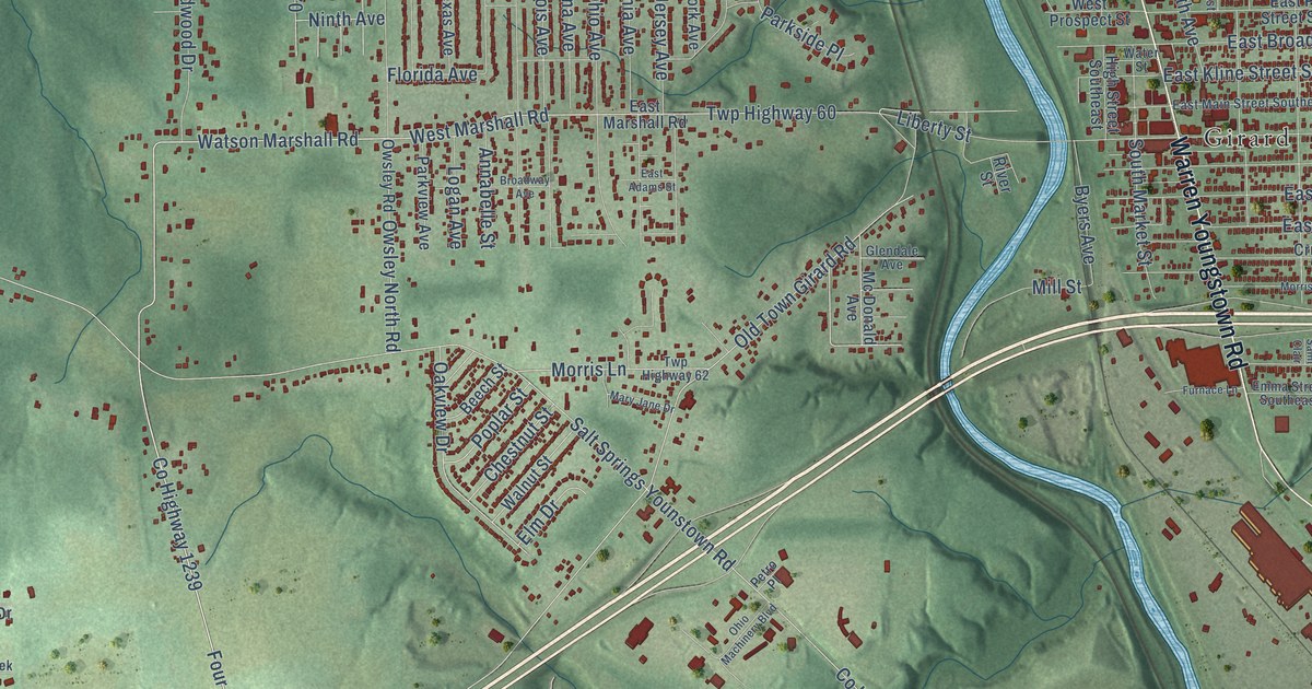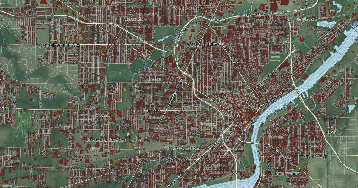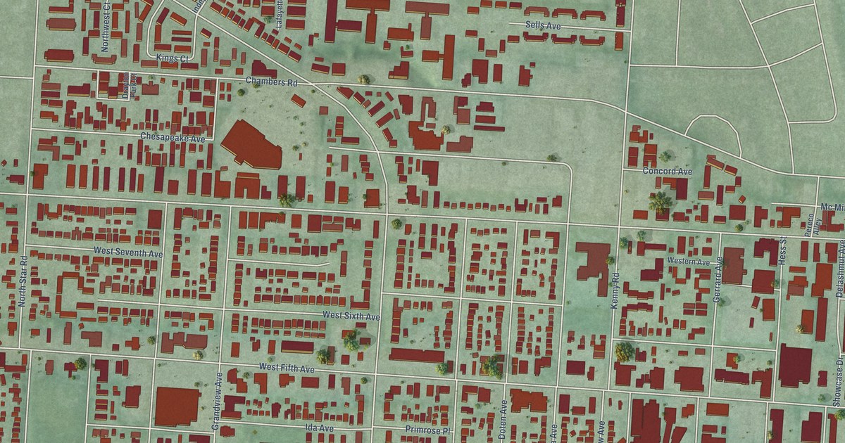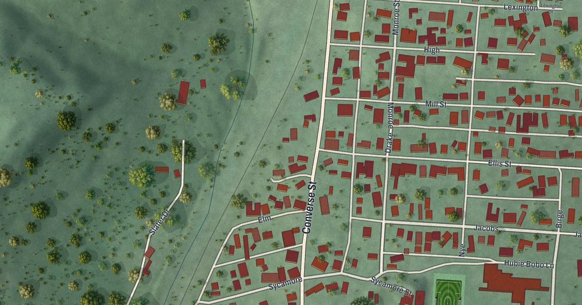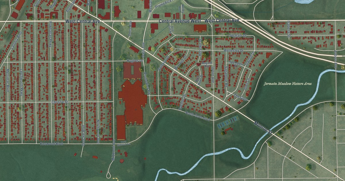
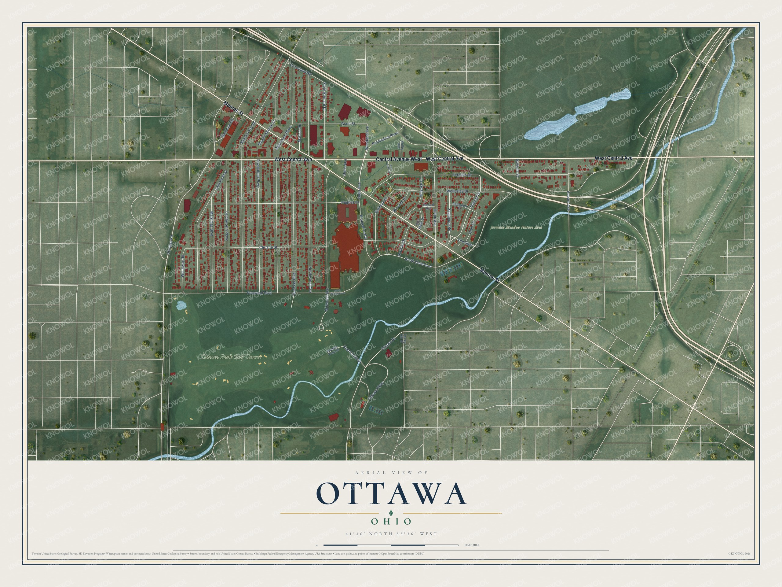
This beautifully detailed map of Ottawa, Ohio was created in 2026 using aerial imagery combined with modern topographical, census, street and landmark data. It’s a one-of-a-kind view of Ottawa that combines accurate data with a vintage aesthetic. The map shows every building in its true location, many of the roads carry their names, and the shaded topographic relief shows the shape of the land.
Explore an aerial view of Ottawa, Ohio
On the map you’ll find Jermain Meadow Nature Area and Ottawa Park Golf Course, along with West Central Avenue, Central Avenue West, Monroe Street, Oatis Avenue, Westland Avenue, Inwood Drive, Sagamore Road, Douglas Road, Promedica Parkway, Bellevue Road, and more. If you look closely you can even find your house accurately drawn in its correct location. Zoom in on the preview to look for yours.
Did You Know?
From Internet Archive: "When the first settlers under the Firelands company arrived in 1808, they found on the present site oi Sandusky a village of Ottawa Indians and French Canadian settlers on the peninsula."
Ottawa is a place in Lucas County.
Take a closer look at the Ottawa map
Names on this map
These names are printed on this map.
Places: Jermain Meadow Nature Area and Ottawa Park Golf Course.
Streets and roads: West Central Avenue, Central Avenue West, Monroe Street, Oatis Avenue, Westland Avenue, Inwood Drive, Sagamore Road, Douglas Road, Promedica Parkway, Bellevue Road, East Circle Lane, North Cove Boulevard.
More street names, A to Z
Algonquin Parkway, Appledore Place, Auburn Avenue, Bayard Avenue, Briar Cliff Road, Bryn Mawr Drive, Christie Street, Doris Avenue, Giant Street, Glen Lane, Groveland Road, Gunckel Boulevard, Hoehler Drive, Holyoke Drive, Hughes Drive, Isabella Street, Jermain Drive, Kelley Avenue, Kenwood Boulevard, Latonia Boulevard, Letchworth Parkway, Matson Road, Meadowbrook Court, Merrimac Boulevard, Midwood Avenue, North Midwood Avenue, Northwood Avenue, Ottawa Drive, Ottawa Parkway, Powhattan Parkway, Promedica Pw, Rathbun Drive, Saint Bernard Drive, Sherbrooke Road, The Glen, Torrey Hill Drive, Upton Avenue, Walden Pond Drive, Wellesley Drive, Whiteway Road, Winsted Drive.
See it on a wall
The Ottawa, Toledo map as a framed print. Swipe for more.


This beautifully detailed map of Ottawa, Toledo makes an attractive addition to your office, library, or den, and it can even be used to teach children the geography and history of the area. It also makes a great gift for anyone with Ottawa roots. When you’re done exploring, click here to get your copy of the Ottawa, Toledo map.