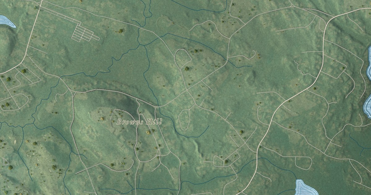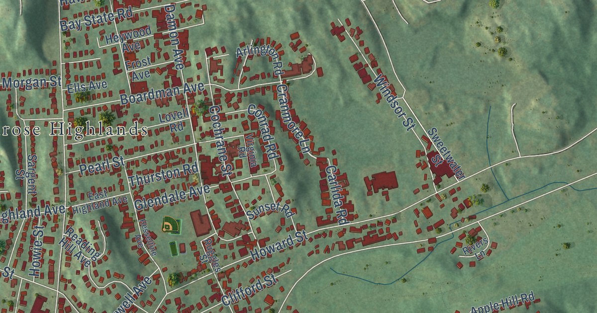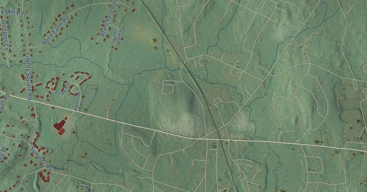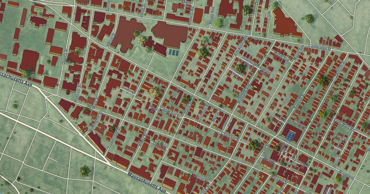
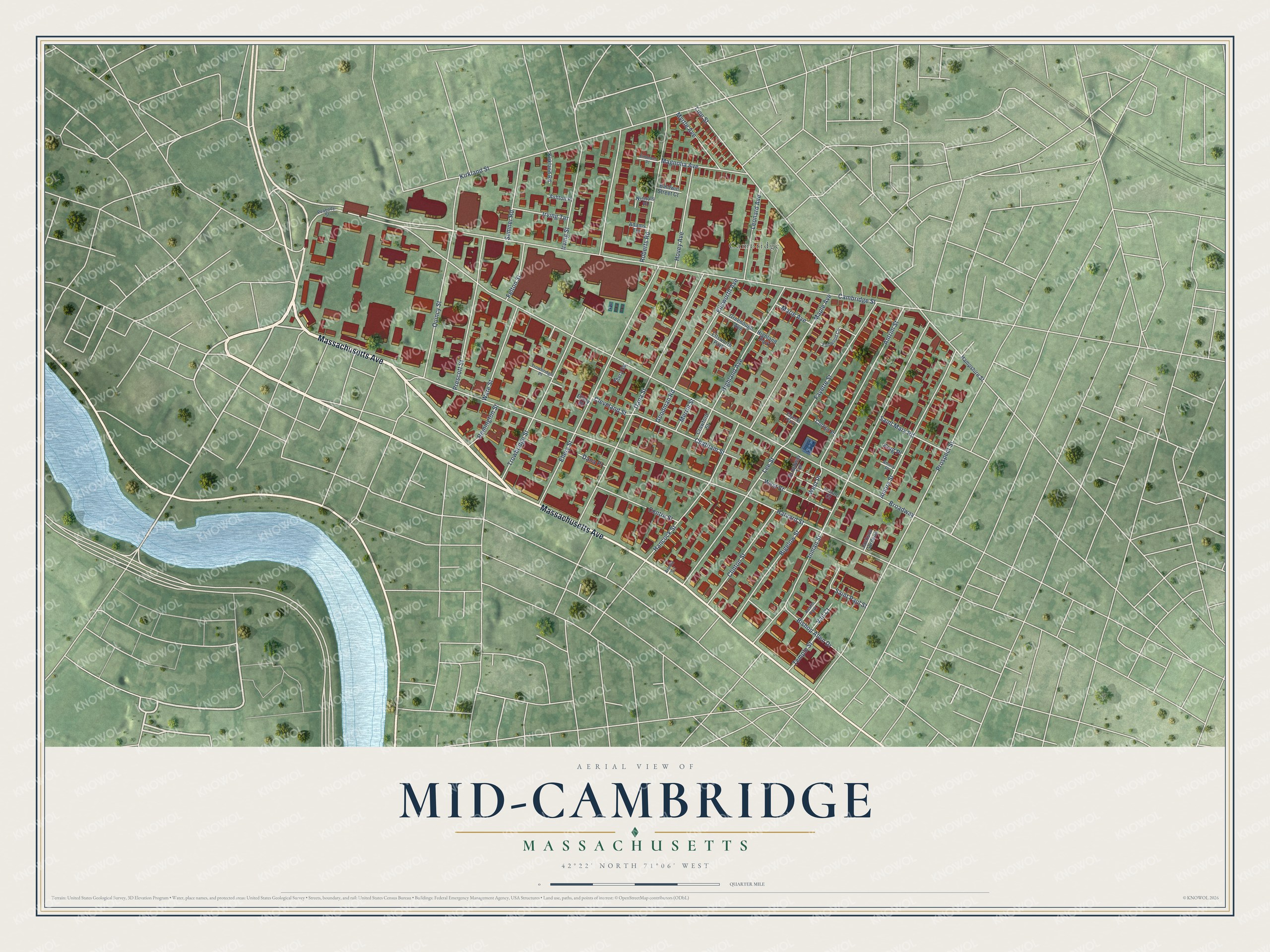
This beautifully detailed map of Mid-Cambridge, Massachusetts was created in 2026 using aerial imagery combined with modern topographical, census, street and landmark data. It’s a one-of-a-kind view of Mid-Cambridge that combines accurate data with a vintage aesthetic. The map shows every building in its true location, many of the roads carry their names, and the shaded topographic relief shows the shape of the land.
Explore an aerial view of Mid-Cambridge, Massachusetts
On the map you’ll find Cambridge and Broadway, along with Massachusetts Avenue, Cambridge Street, Chatham Street, Harvard Street, Inman Street, Trowbridge Street, Dana Street, Ellery Street, Quincy Street, Line Street, and more. If you look closely you can even find your house accurately drawn in its correct location. Zoom in on the preview to look for yours.
Take a closer look at the Mid-Cambridge map
Names on this map
These names are printed on this map.
Places: Cambridge, Ellsworth Park, Highland Park, Austin Park and Fayette Park.
Streets and roads: Massachusetts Avenue, Cambridge Street, Chatham Street, Broadway, Harvard Street, Inman Street, Trowbridge Street, Dana Street, Ellery Street, Quincy Street, Line Street, Antrim Street.
More street names, A to Z
Adams Terrace, Amory Place, Amory Street, Arnold Circle, Ashton Place, Baldwin Street Court, Bigelow Street, Bishop Allen Drive, Broadway Terrace, Centre Street, Cleveland Street, Clinton Street, Corliss Place, Crawford Street, Dana Place, Ellery Place, Ellery Square, Ellsworth Avenue, Emmons Place, Fainwood Circle, Fayette Street, Felton Street, Goodman Road, Greenough Avenue, Hampshire Street, Hancock Street, Highland Avenue, Hovey Avenue, Inman Court, Irving Street, Irving Terrace, Jackson Gardens, King Place, Kirkland Road, Kirkland Street, Lee Street, Leonard Avenue, Magnolia Avenue, Maple Avenue, Marie Avenue, Merrill Street, Myrtle Avenue, Nichols Place, Peabody Street, Prescott Street, Prospect Street, Remington Street, Roberts Road, Saint Mary Road, Saint Paul Street, Sumner Road, Temple Street, Trowbridge Place, Vail Court, Ware Street, West Place, West Street.
See it on a wall
The Mid-Cambridge map as a framed print. Swipe for more.


This beautifully detailed map of Mid-Cambridge makes an attractive addition to your office, library, or den, and it can even be used to teach children the geography and history of the area. It also makes a great gift for anyone who grew up in Mid-Cambridge or moved away. When you’re done exploring, click here to get your copy of the Mid-Cambridge map.