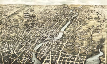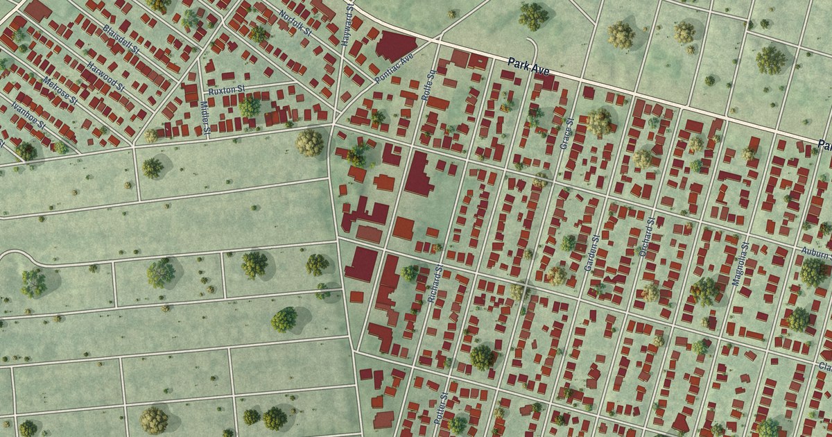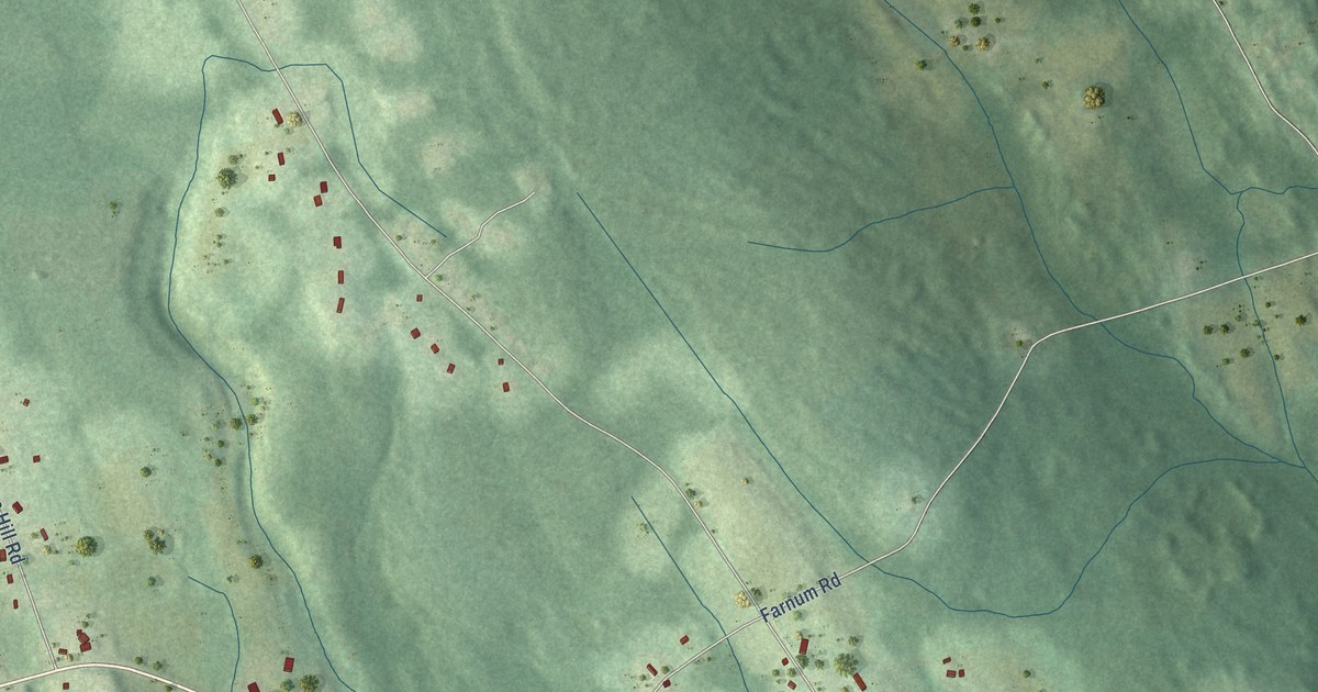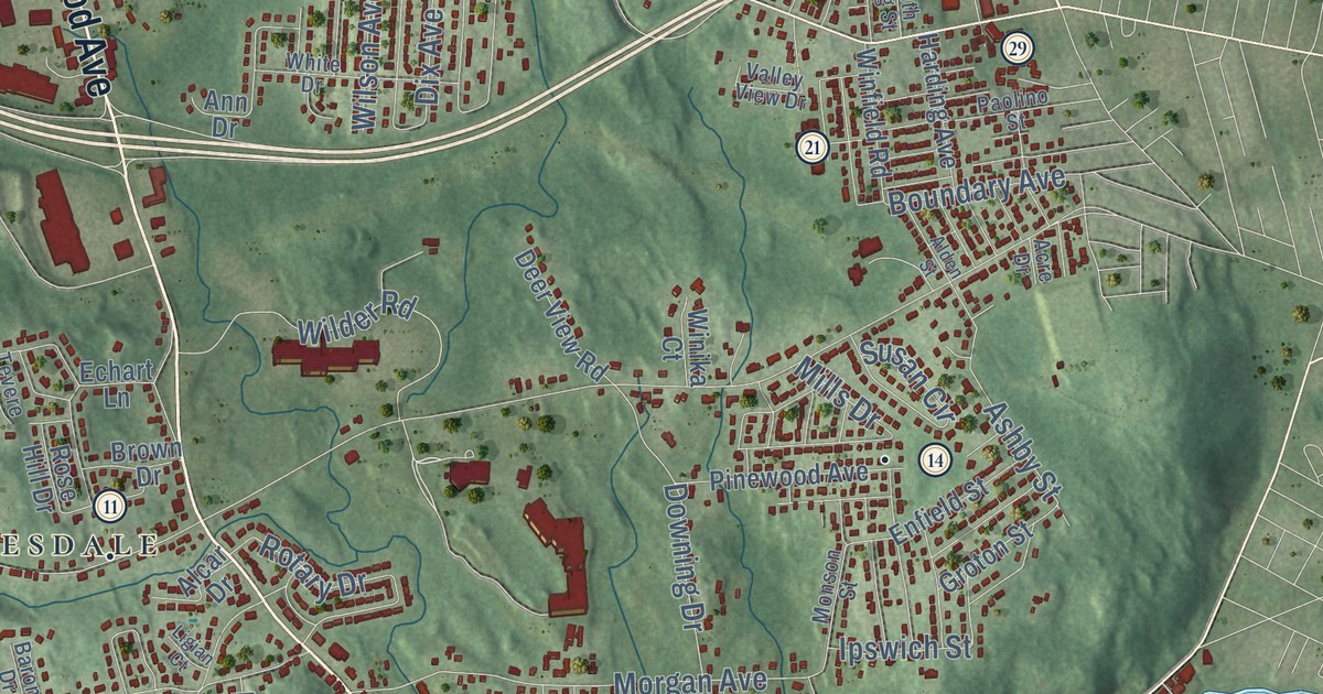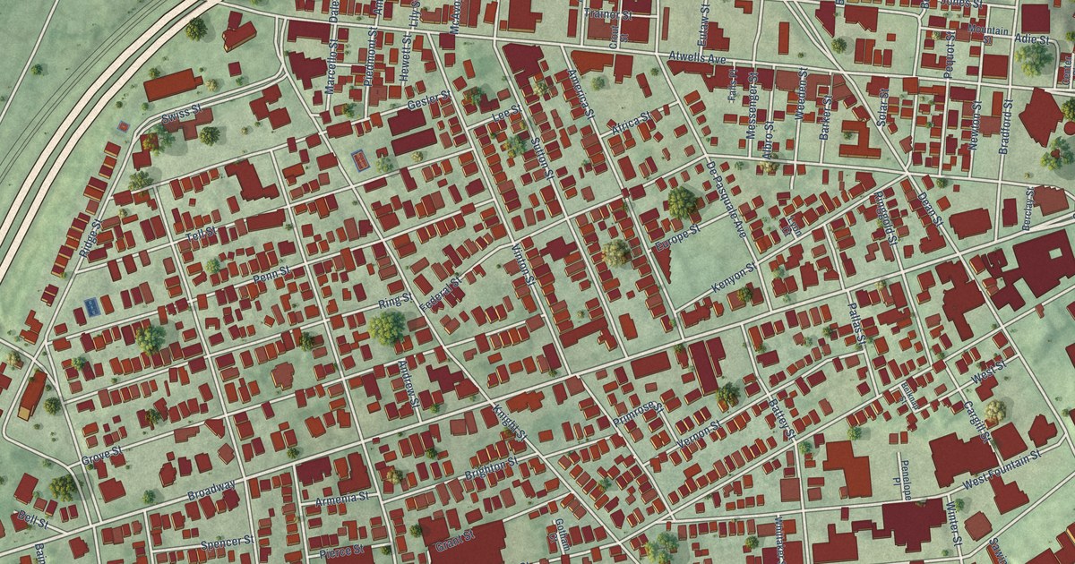
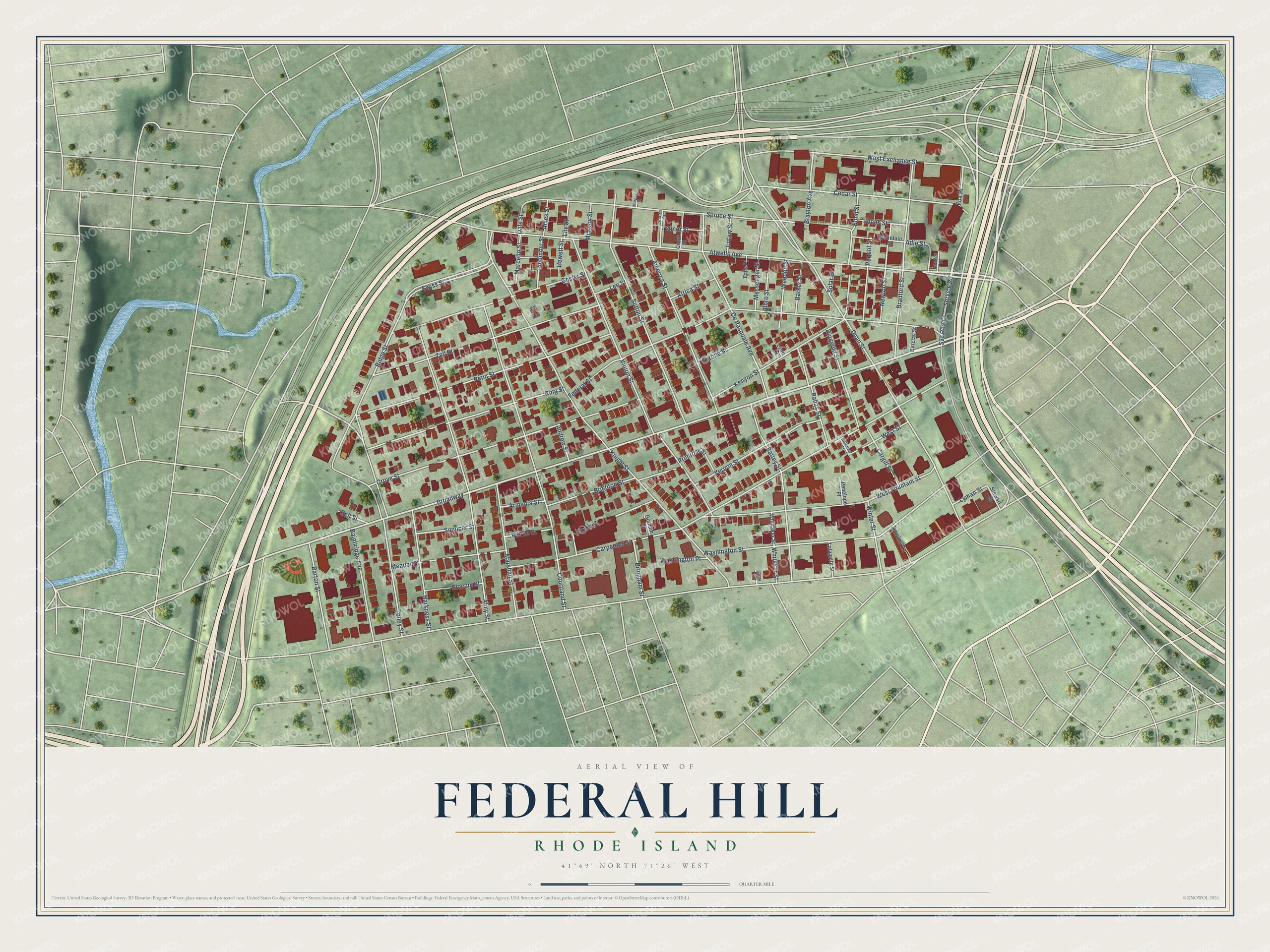
This beautifully detailed map of Federal Hill, Rhode Island was created in 2026 using aerial imagery combined with modern topographical, census, street and landmark data. It’s a one-of-a-kind view of Federal Hill that combines accurate data with a vintage aesthetic. The map shows every building in its true location, many of the roads carry their names, and the shaded topographic relief shows the shape of the land.
Explore an aerial view of Federal Hill, Rhode Island
On the map you’ll find Broadway and Svc Road 7, along with Atwells Avenue, Service Road, Tobey Street, Dean Street, Dale Street, Adie Street, Carpenter Street, Knight Street, Federal Street, Washington Street, and more. If you look closely you can even find your house accurately drawn in its correct location. Zoom in on the preview to look for yours.
Did You Know?
Federal Hill got its name from an ox roast on July 4, 1788. The party was meant to honor the new Federal Constitution. Many Rhode Islanders opposed it, and General William West marched 1,000 armed farmers into Providence. Both sides agreed to celebrate Independence Day alone. Rhode Island joined the union two years later, the last of the thirteen.
Federal Hill is a place in Providence County.
Take a closer look at the Federal Hill map
Names on this map
These names are printed on this map.
Streets and roads: Atwells Avenue, Broadway, Service Road, Svc Road 7, Tobey Street, Dean Street, Dale Street, Adie Street, Carpenter Street, Knight Street, Federal Street, Washington Street.
More street names, A to Z
Acorn Street, Africa Street, Albro Street, Almy Street, America Street, Ames Street, Andrew Street, Armenia Street, Bainbridge Avenue, Barker Street, Barton Street, Battey Street, Belknap Street, Bell Street, Berclay Street, Bond Street, Bradford Street, Brayton Avenue, Bridgham Street, Brighton Street, Cargill Street, Cedar Street, Center Place, Courtland Street, Crout Street, De Pasquale Avenue, Europe Street, Eutaw Street, Falls Place, Fox Place, Gesler Street, Gotham Court, Grant Street, Grove Street, Harkness Street, Hewett Street, Hood Street, Jones Street, Kenyon Street, Lafayette Street, Lee Street, Lily Street, Lyman Street, Lyon Court, Marcello Street, Marshall Street, McAvoy Street, Meader Street, Messenger Street, Mountain Street, Murphy Street, Newton Street, Pallas Street, Penelope Place, Penn Street, Pequot Street, Piedmont Street, Pierce Street, Primrose Street, Ridge Street, Ringgold Street, Ring Street, Sawins Lane, Slocum Street, Solar Street, Spencer Street, Spruce Street, Stewart Street, Sutton Street, Swiss Street, Tell Street, Trainor Street, Vernon Street, Vinton Street, Washington Place, Weeden Street, West Exchange Street, West Fountain Street, West Street, Whitaker Street, Whittaker Street, Winter Street.
See it on a wall
The Federal Hill map as a framed print. Swipe for more.


This beautifully detailed map of Federal Hill makes an attractive addition to your office, library, or den, and it can even be used to teach children the geography and history of the area. It also makes a great gift for someone who left Federal Hill and still calls it home. When you’re done exploring, click here to get your copy of the Federal Hill map.