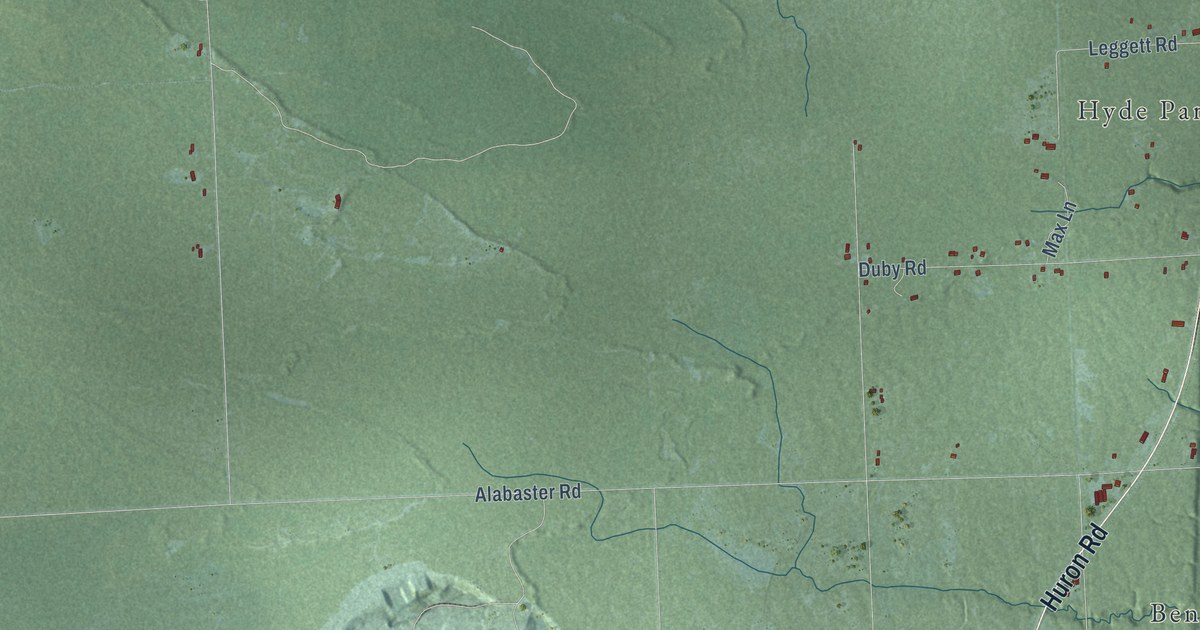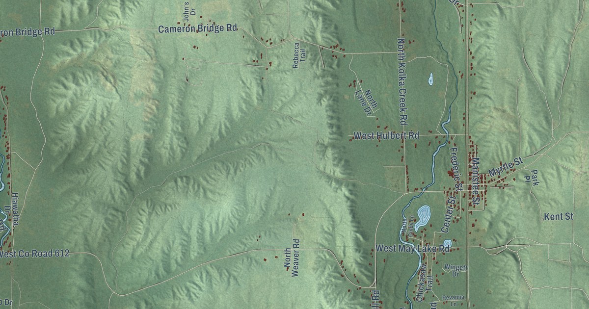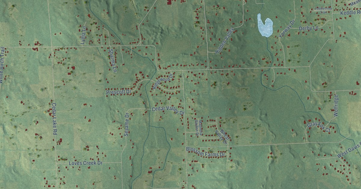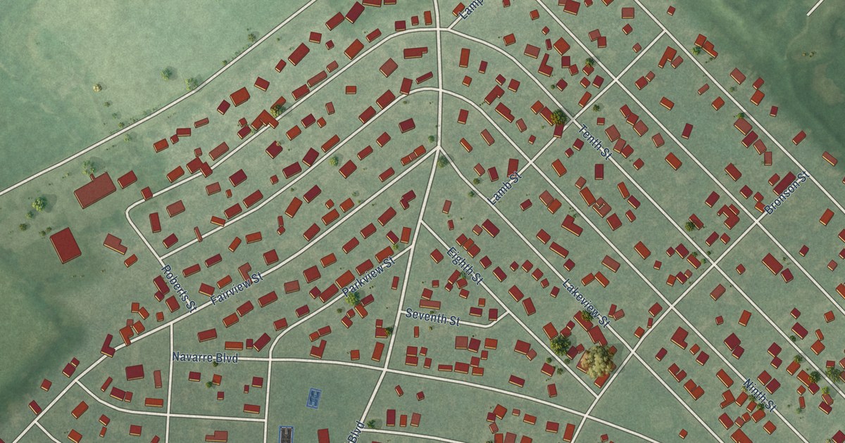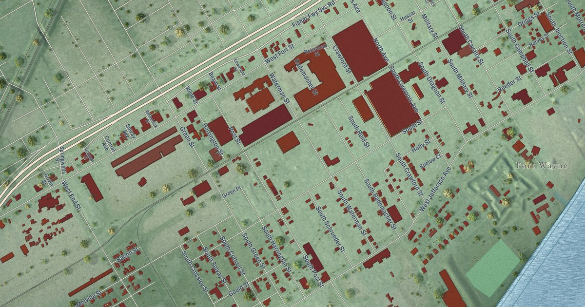
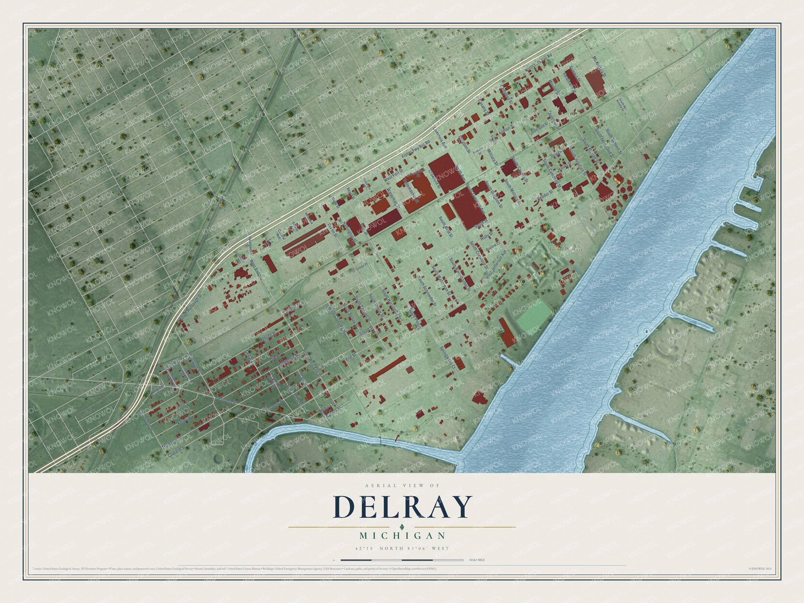
This beautifully detailed map of Delray, Michigan was created in 2026 using aerial imagery combined with modern topographical, census, street and landmark data. It’s a one-of-a-kind view of Delray that combines accurate data with a vintage aesthetic. The map shows every building in its true location, many of the roads carry their names, and the shaded topographic relief shows the shape of the land.
Explore an aerial view of Delray, Michigan
On the map you’ll find Fort Wayne, along with North I- 75 Svc Road, Fisher Fwy Svc Road, Mc Kinstry Street, Military Street, Cavalry Street, Green Street, Harbaugh Street, North Avenue, Livernois Avenue, West End Street, West Jefferson Avenue, and more. If you look closely you can even find your house accurately drawn in its correct location. Zoom in on the preview to look for yours.
Did You Know?
Chevrolet named a car for this Detroit neighborhood. The Chevrolet Delray first appeared in 1954 as a trim option on two-door cars in the 210 series. In 1958 it became its own series at the bottom of the lineup. It was built for only that one model year.
Delray is a place in Wayne County.
Take a closer look at the Delray map
Names on this map
These names are printed on this map.
Places: Fort Wayne.
Streets and roads: North I- 75 Svc Road, Fisher Fwy Svc Road, Mc Kinstry Street, Military Street, Cavalry Street, Green Street, Harbaugh Street, North Avenue, Livernois Avenue, West End Street, West Jefferson Avenue, West Fort Street.
More street names, A to Z
Anthon Street, Bacon Street, Barnes Street, Beard Street, Buelow Court, Burdeno Street, Campbell Street, Cary Street, Central Avenue, Clinton River Shore Street, Copland Street, Crawford Street, Dearborn Street, Dill Place, Dragoon Street, Driggs Street, Erie Street, Ferdinand Street, Gaynor Court, Glinnan Street, Gould Street, Govin Street, Green Place, Harrington Street, Harvey Street, Herkimer Street, Holly Street, Hussar Street, Junction Street, Keller Street, Lauderdale Street, Lewerenz Street, Lyon Street, Medina Street, Melville Street, Morrell Street, Post Street, Rademacher Street, Reeder Street, Reissman Street, Solvay Avenue, South Campbell Street, South Cavalry Street, South Cobalt Street, South Cottrell Street, South Crawford Street, South Crossley Street, South Dragoon Street, South Ferdinand Street, South Fortune Street, South Green Street, South Harbaugh Street, South Harrington Street, South Junction Street, South Leigh Street, South Livernois Avenue, South Mc Kinstry Street, South Military Street, South Morrell Street, South Post Street, South Rademacher Street, South Reid Street, South Schroeder Street, South Sire Street, South Sloan Street, South Solvay Street, South Street, South Summit Street, South Waterman Street, South West End Street, Springwells Court, Springwells Street, Summit Street, Thaddeus Street, Vanderbilt Street, Waterman Street, Wheelock Street, Wilde Street, Yale Street.
See it on a wall
The Delray map as a framed print. Swipe for more.


This beautifully detailed map of Delray makes an attractive addition to your office, library, or den, and it can even be used to teach children the geography and history of the area. It also makes a great gift for someone who left Delray and still calls it home. When you’re done exploring, click here to get your copy of the Delray map.