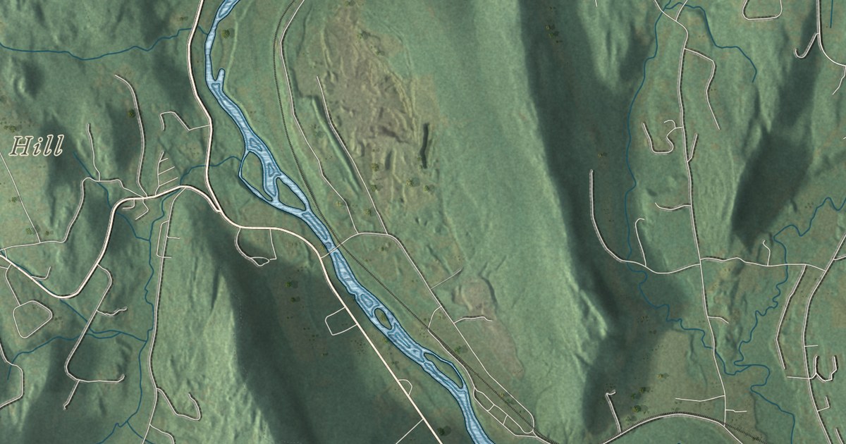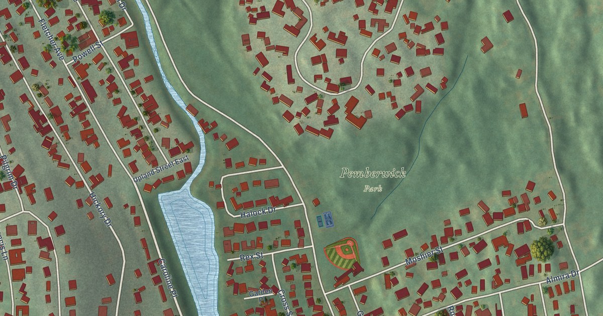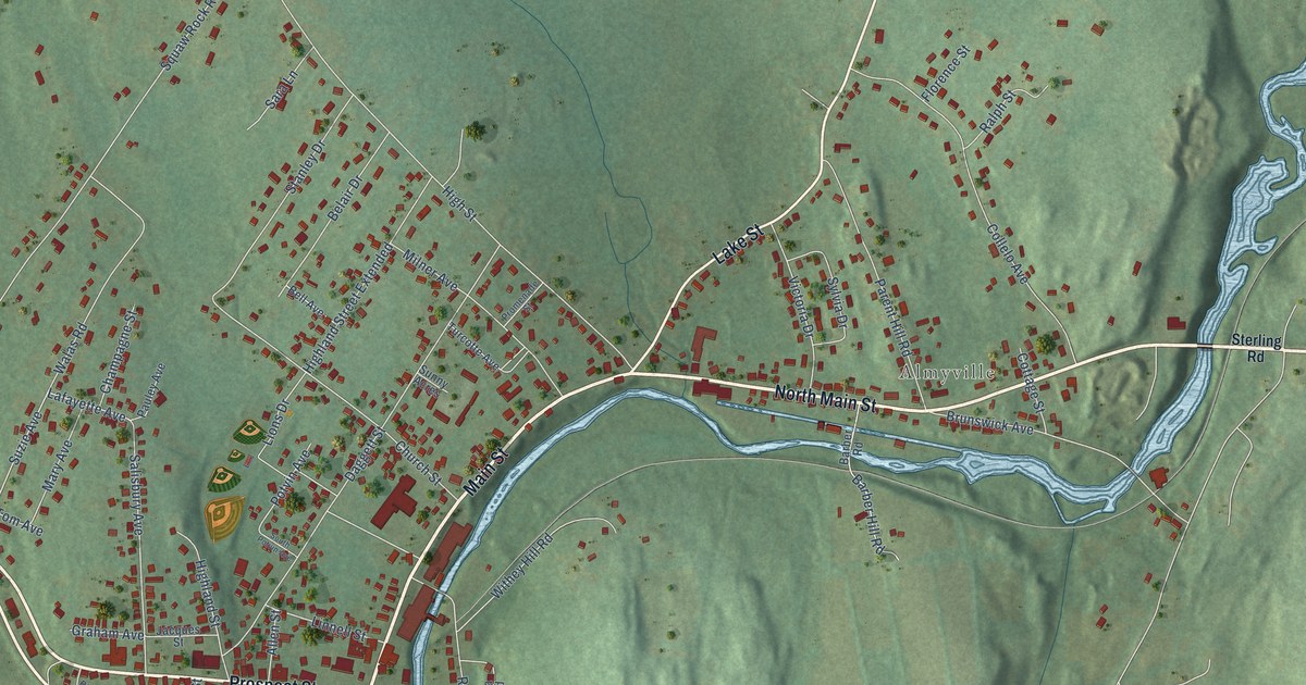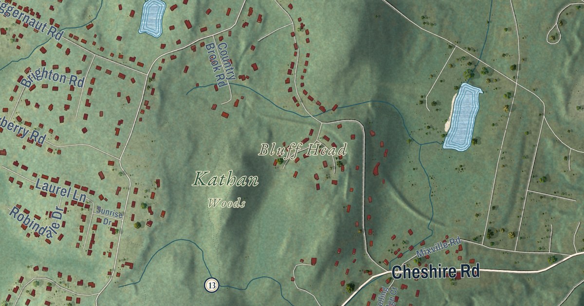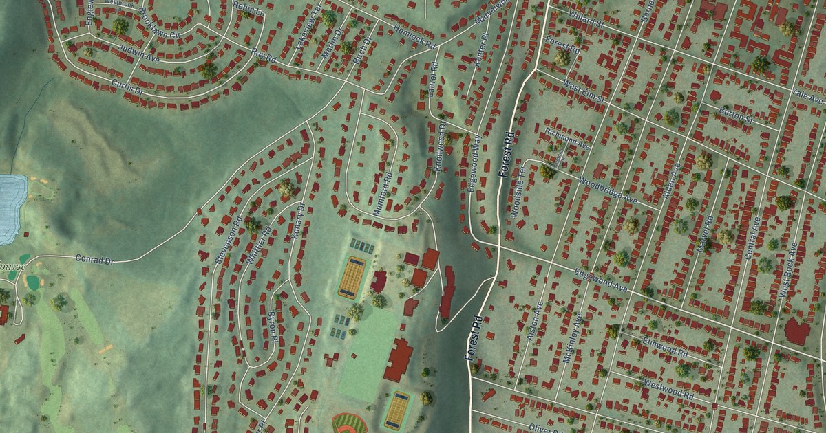
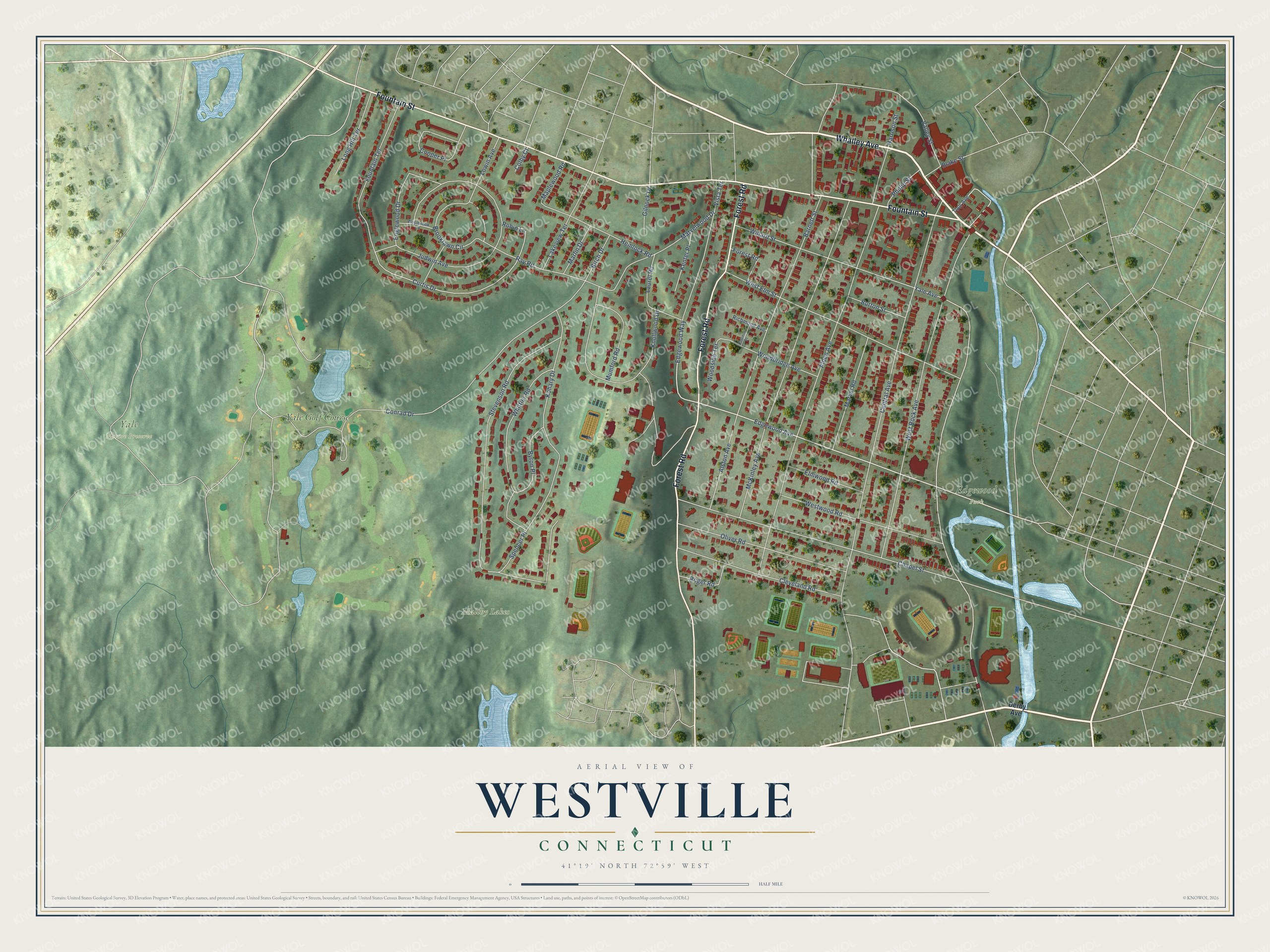
This beautifully detailed map of Westville, Connecticut was created in 2026 using aerial imagery combined with modern topographical, census, street and landmark data. It’s a one-of-a-kind view of Westville that combines accurate data with a vintage aesthetic. The map shows every building in its true location, many of the roads carry their names, and the shaded topographic relief shows the shape of the land.
Explore an aerial view of Westville, Connecticut
On the map you’ll find Edgewood Park, Maltby Lakes, Yale Nature Preserve, and Yale Golf Course, along with Whalley Avenue, Forest Road, Fountain Street, Edgewood Avenue, Edgewood Way, Yale Avenue, Curtis Drive, Central Avenue, and more. If you look closely you can even find your house accurately drawn in its correct location. Zoom in on the preview to look for yours.
Did You Know?
Westville grew as a mill village apart from downtown New Haven. Its gunpowder mills were targets of British raids during the Revolution. A bridge over the West River in 1797 made the village a busy crossroads. Textile and paper mills followed, and New Haven annexed Westville in 1872.
Westville is a place in New Haven County.
Take a closer look at the Westville map
Names on this map
These names are printed on this map.
Places: Edgewood Park, Maltby Lakes, Yale Nature Preserve and Yale Golf Course.
Streets and roads: Whalley Avenue, Forest Road, Fountain Street, Edgewood Avenue, Edgewood Way, Yale Avenue, Curtis Drive, Central Avenue, Stevenson Road, Alden Avenue, West Rock Avenue, Chapel Street.
More street names, A to Z
Alston Avenue, Barnett Street, Birch Drive, Blake Street, Brooklawn Circle, Burton Street, Byron Place, Cleveland Road, Colby Court, Colonial Place, Conrad Drive, Cooper Place, Derby Avenue, Elmwood Road, Englewood Drive, Fountain Terrace, Gilnock Drive, Harrison Street, Hemlock Road, Judwin Avenue, Kenter Place, Knollwood Drive, Kohary Drive, Lakeview Terrace, Laurel Road, Long Hill Terrace, Lowin Avenue, Maplewood Road, Marlin Drive, Marvel Road, Marvelwood Drive, McKinley Avenue, Mumford Road, Oliver Road, Phillip Street, Ray Road, Richmond Avenue, Robin Lane, Roger Road, Spencer Place, Tour Avenue, Tryon Street, Valley Street, Vista Terrace, Westbrook Lane, West Elm Street, Westwood Road, Whittier Road, Willard Street, Woodbridge Avenue, Woodside Terrace.
See it on a wall
The Westville map as a framed print. Swipe for more.


This beautifully detailed map of Westville makes an attractive addition to your office, library, or den, and it can even be used to teach children the geography and history of the area. It also makes a great gift for someone who left Westville and still calls it home. When you’re done exploring, click here to get your copy of the Westville map.