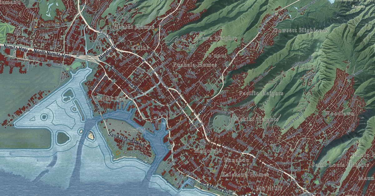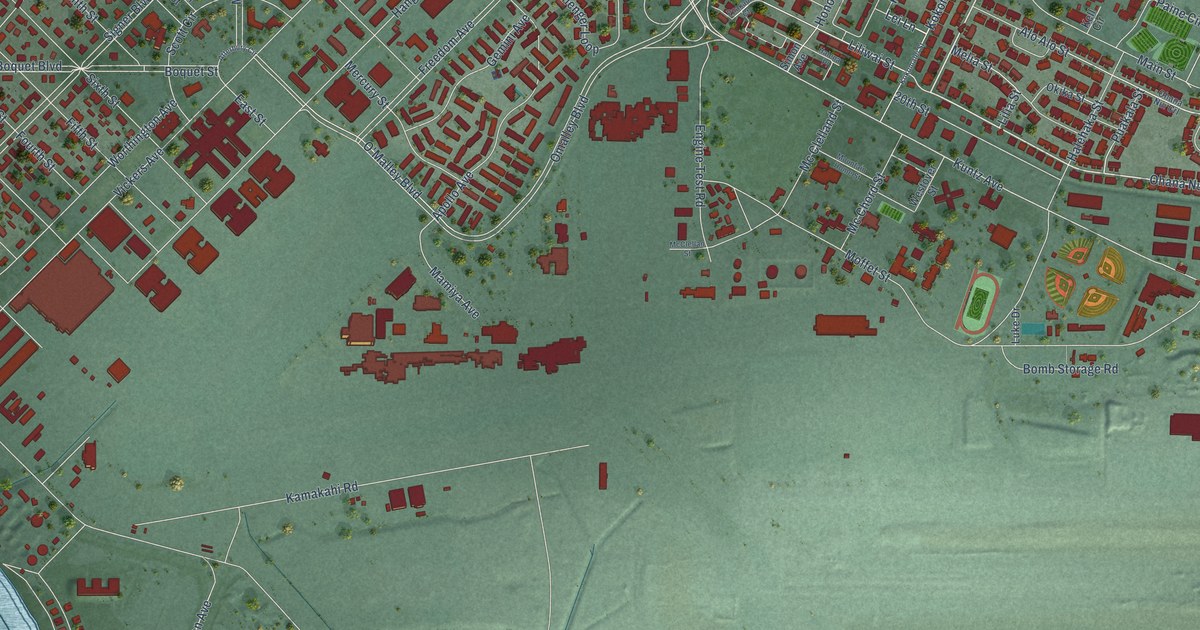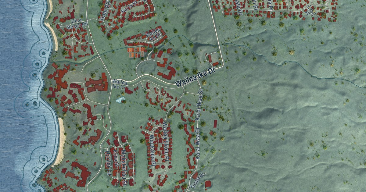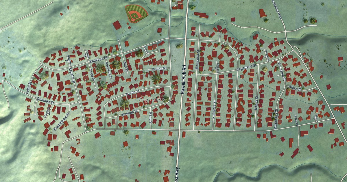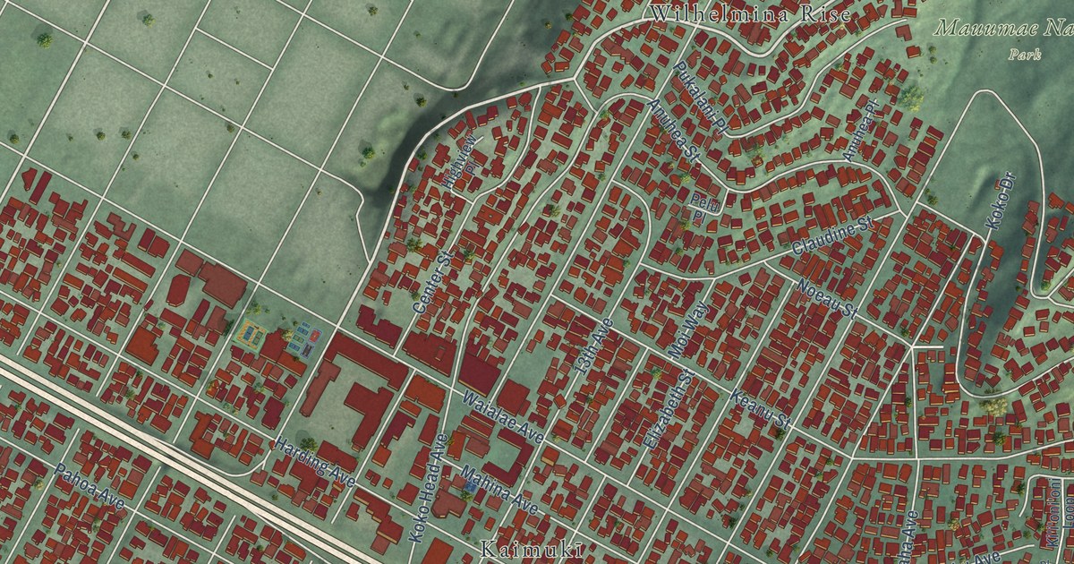
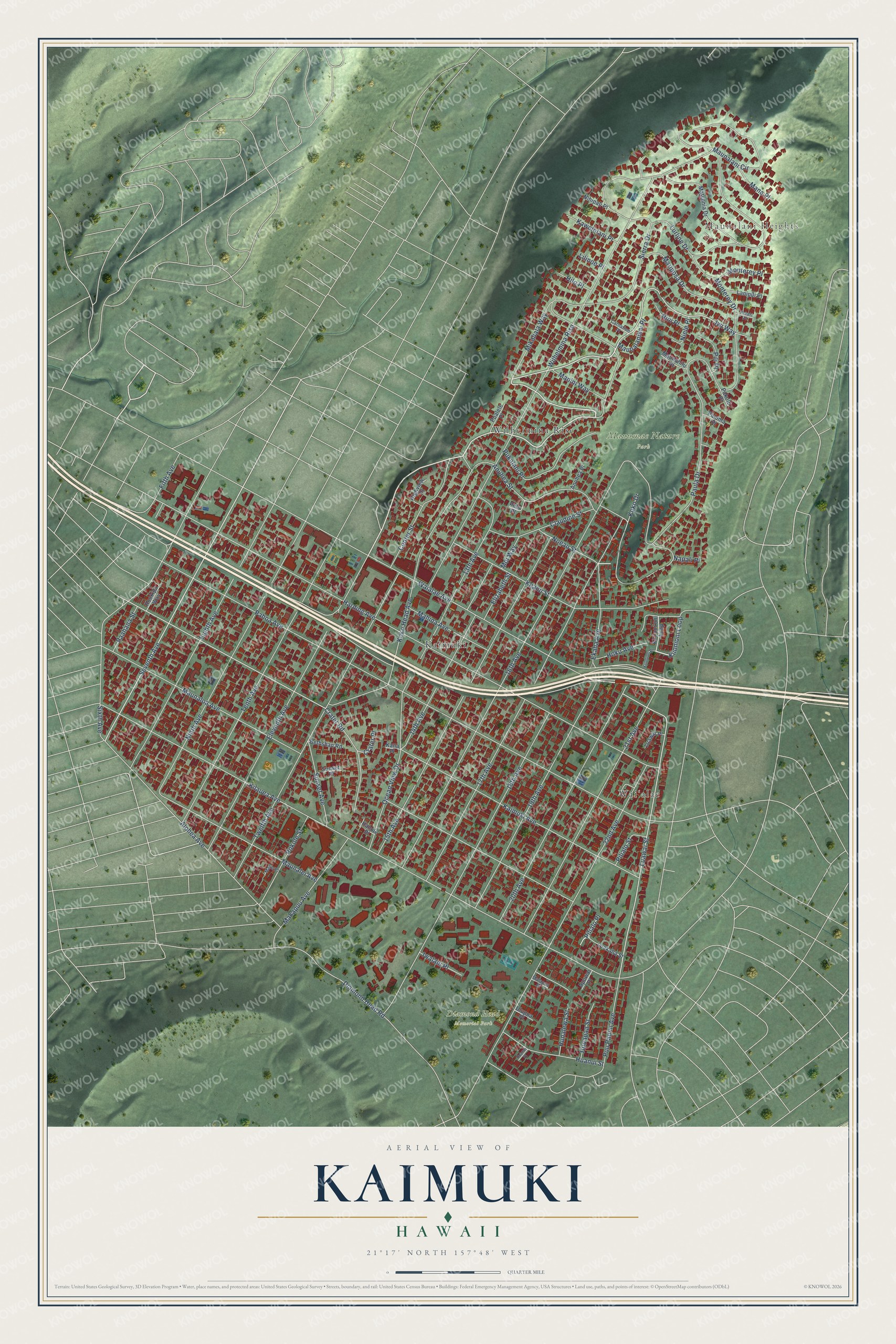
This beautifully detailed map of Kaimuki, Hawaii was created in 2026 using aerial imagery combined with modern topographical, census, street and landmark data. It’s a one-of-a-kind view of Kaimuki that combines accurate data with a vintage aesthetic. The map shows every building in its true location, many of the roads carry their names, and the shaded topographic relief shows the shape of the land.
Explore an aerial view of Kaimuki, Hawaii
On the map you’ll find Maunalani Heights, Diamond Head Memorial Park, Mauumae Nature Park, Kaimukī, Waiʻalae, and Wilhelmina Rise, along with Sierra Drive, Seventh Avenue, Iwi Way, Waialae Avenue, Luawai Street, Ekaha Avenue, and more. If you look closely you can even find your house accurately drawn in its correct location. Zoom in on the preview to look for yours.
Did You Know?
From the 1926 History of Hawaii: "In 1925 plans were in progress for a splendid new plant to be built in Kaimuki."
Kaimuki is a place in Honolulu County.
Take a closer look at the Kaimuki map
Names on this map
These names are printed on this map.
Places: Maunalani Heights, Diamond Head Memorial Park, Mauumae Nature Park, Kaimukī, Waiʻalae and Wilhelmina Rise.
Streets and roads: Sierra Drive, Seventh Avenue, Iwi Way, Waialae Avenue, Luawai Street, Ekaha Avenue, Kaimuki Avenue, Pilialo Place, Kilauea Avenue, Harding Avenue, Pahoa Avenue, 16th Avenue.
More street names, A to Z
13th Avenue, 14th Avenue, 15th Avenue, 17th Avenue, 18th Avenue, 19th Avenue, 20th Avenue, 21st Avenue, 22nd Avenue, Alohea Avenue, Anuhea Place, Anuhea Street, Apuwai Place, Bethshan Road, Carnation Place, Center Street, Claudine Street, Crater Place, Crater Road, Diamond Head Road, Eighth Avenue, Eleventh Avenue, Elizabeth Street, Fifth Avenue, Hanole Place, Highview Place, Hilo Place, Hoku Avenue, Hookipa Way, Huanui Place, Huanui Street, Hunalewa Street, Hunapaa Street, Iwalani Place, Kana Place, Kawelolani Place, Keanu Street, Ki'i'oni'oni Loop, Kiionioni Loop, Kiionioni Place, Koko Drive, Koko Head Avenue, Lanipili Place, Lilinoe Place, Luakaha Street, Luawai Place, Lurline Drive, Mahina Avenue, Makapuu Avenue, Malapua Place, Malie Place, Mana Place, Manini Way, Mariposa Drive, Matsonia Drive, Maunahilu Place, Maunalani Circle, Maunalanikai Place, Maunalei Avenue, Maunaloa Avenue, Mikahala Way, Moi Way, Monterey Drive, Monterey Place, Napali Place, Niele Place, Nihipali Place, Ninth Avenue, Nioi Place, Noeau Street, Ocean View Drive, Paahana Street, Pakahi Place, Pakolu Place, Paloma Place, Paula Drive, Pelu Place, Pilialo Street, Pili Place, Pokole Street, Pualele Place, Pukalani Place, Puu Panini Avenue, Sixth Avenue, Sunset Avenue, Sunset Place, Tenth Avenue, Twelfth Avenue, Ulupua Place.
See it on a wall
The Kaimuki map as a framed print. Swipe for more.


This beautifully detailed map of Kaimuki makes an attractive addition to your office, library, or den, and it can even be used to teach children the geography and history of the area. It also makes a great gift for anyone with Kaimuki roots. When you’re done exploring, click here to get your copy of the Kaimuki map.