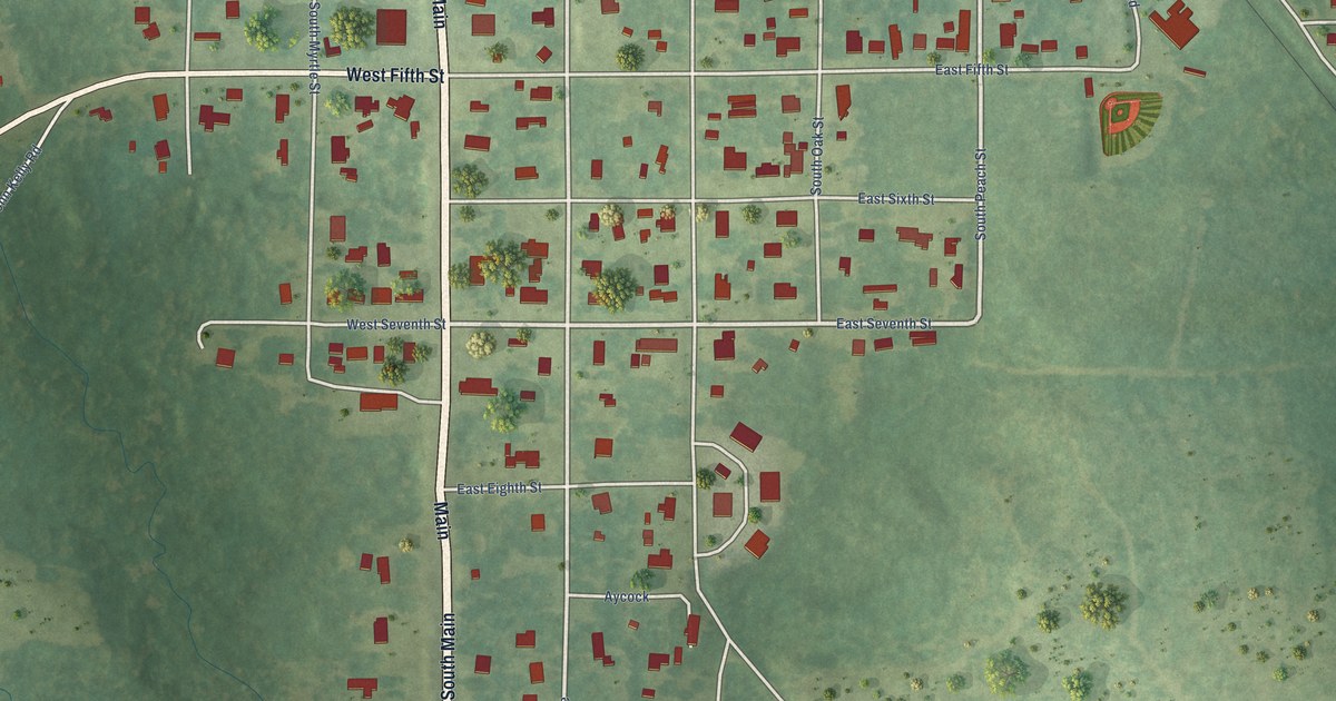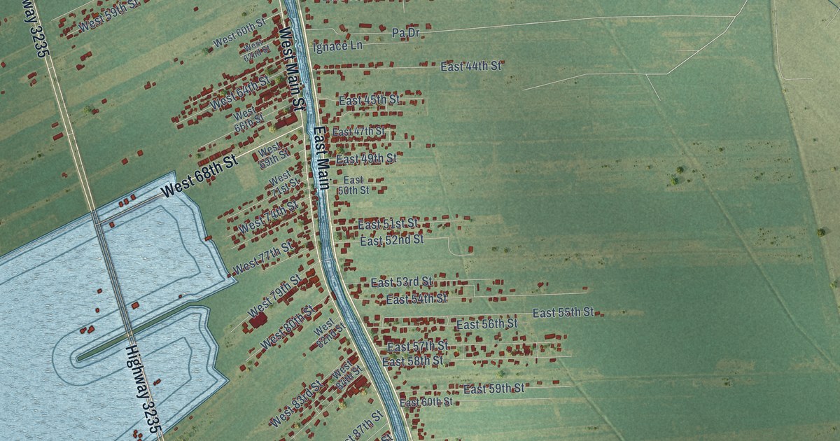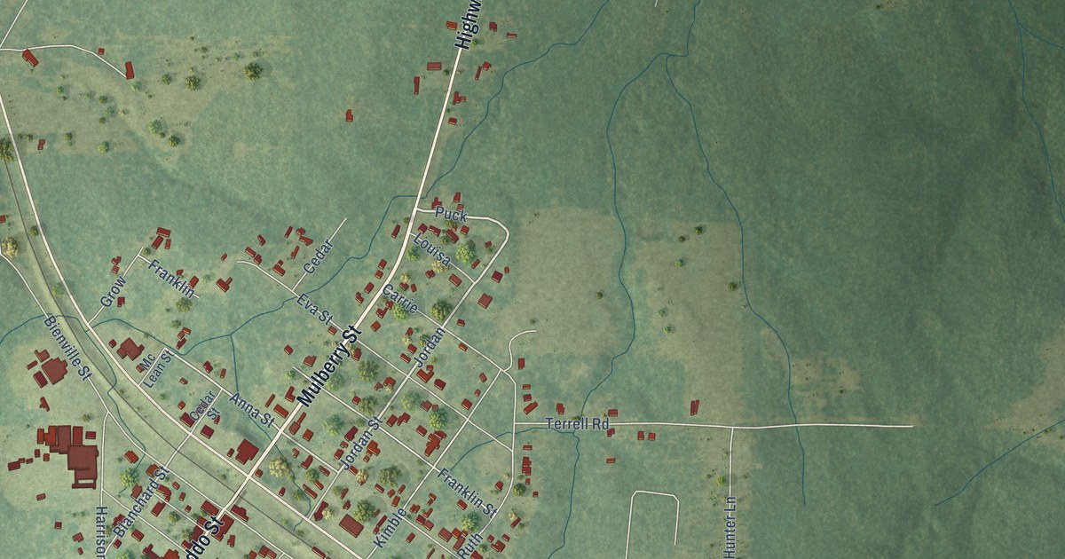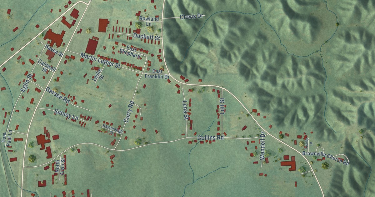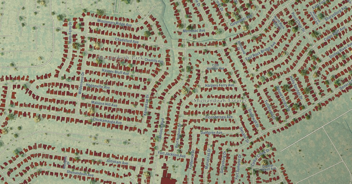
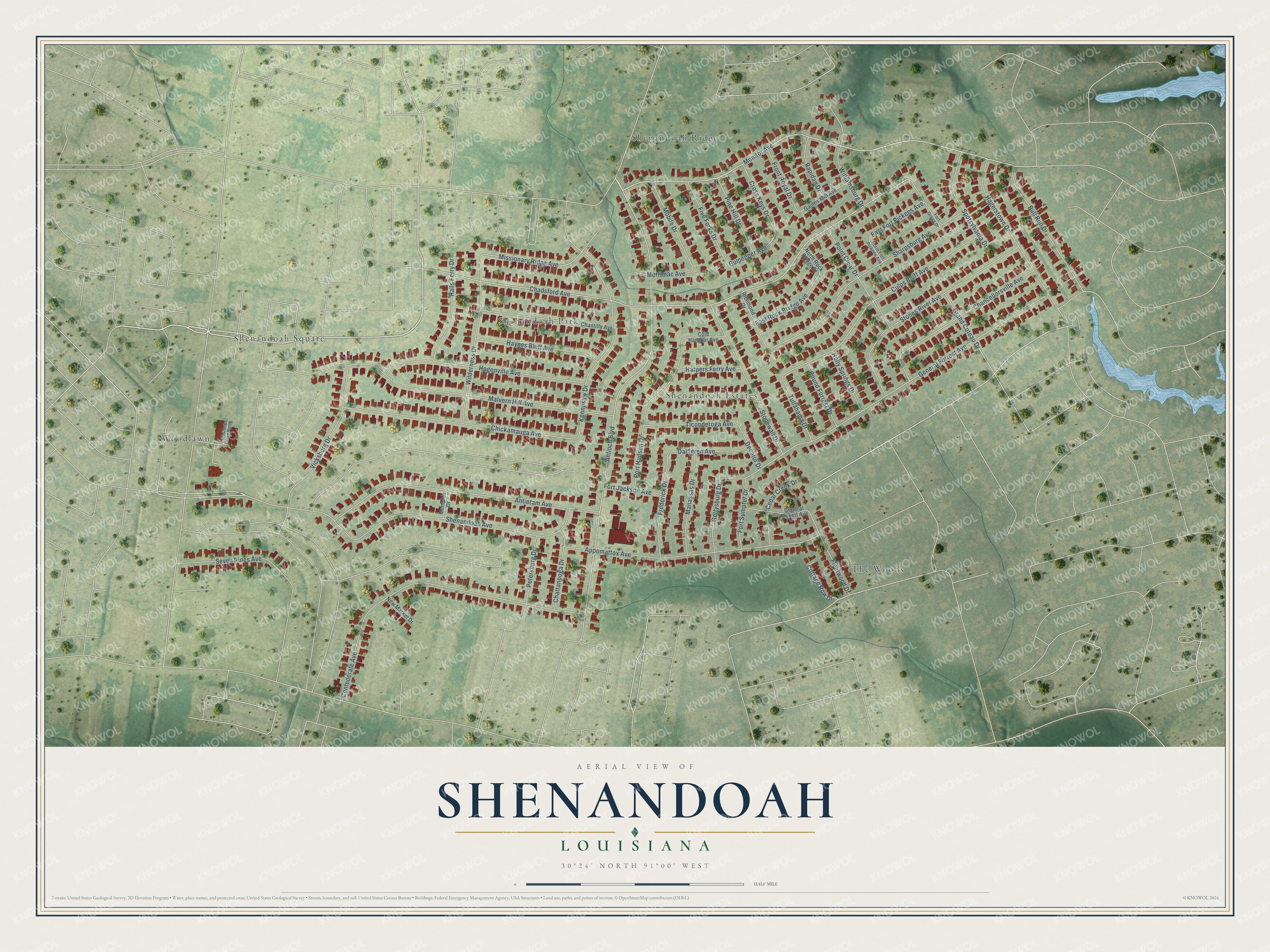
This beautifully detailed map of Shenandoah, Louisiana was created in 2026 using aerial imagery combined with modern topographical, census, street and landmark data. It’s a one-of-a-kind view of Shenandoah that combines accurate data with a vintage aesthetic. The map shows every building in its true location, many of the roads carry their names, and the shaded topographic relief shows the shape of the land.
Explore an aerial view of Shenandoah, Louisiana
On the map you’ll find Shenandoah Park, Woodlawn, Shenandoah Ridge, The Woods, Shenandoah Square, and Shenandoah Estates, along with Monitor Avenue, Shenandoah Avenue, Missionary Ridge Avenue, Culpepper Avenue, Chadsford Avenue, Antioch Boulevard, and more. If you look closely you can even find your house accurately drawn in its correct location. Zoom in on the preview to look for yours.
Did You Know?
From the 1904 Province and the States: "Early in the year 1900 a new educational institution, the first of its kind in the world, was opened in the Shenandoah valley about four huntlred miles southeast of Denver."
Shenandoah is a place in East Baton Rouge Parish.
Take a closer look at the Shenandoah map
Names on this map
These names are printed on this map.
Places: Shenandoah Park, Woodlawn, Shenandoah Ridge, The Woods, Shenandoah Square and Shenandoah Estates.
Streets and roads: Monitor Avenue, Shenandoah Avenue, Missionary Ridge Avenue, Culpepper Avenue, Chadsford Avenue, Antioch Boulevard, General Forrest Avenue, Confederate Avenue, Malvern Hill Avenue, Antietam Avenue, Appomattox Avenue, Culps Bluff Avenue.
More street names, A to Z
Bull Run Drive, Cedar Creek Drive, Chancellorsville Avenue, Chantilly Avenue, Chattanooga Drive, Chickamauga Avenue, Cold Harbour Avenue, Cottage Row Drive, Cross Keys Drive, Dahlgren Avenue, Decatur Drive, East Fort Pickens Avenue, East Rock Bridge Avenue, Five Forks Drive, Fleetwood Drive, Fort Clarke Drive North, Fort Gregg Drive, Fort Jackson Avenue, Fort Sumpter Drive, Frederick Drive, Front Royal Drive, Gaines Mill Avenue, General Pickett Avenue, Gettysburg Drive, Grand Coteau Drive, Hagerstown Drive, Halls Ferry Drive, Harpers Ferry Avenue, Haynes Bluff Avenue, Hogenville Avenue, Holly Springs Drive, Kennesaw Drive, Manassas Drive, Memphis Drive, Merrimac Avenue, Mobile Drive, New Market Drive, North Fort Pickens Avenue, North Rock Bridge Drive, Petersburg Drive, Pine Hill Drive, Point Clear Drive, Port Hudson Drive, Rapidan Drive, Richmond Drive, Round Forrest Drive, Seven Pines Avenue, Sharpsburg Avenue, Spotsylvania Drive, Stones River Avenue, Stonewall Drive, Ticonderoga Avenue, Tullahama Drive, Vicksburg Drive, Wilderness Drive, Williamsburg Drive.
See it on a wall
The Shenandoah map as a framed print. Swipe for more.


This beautifully detailed map of Shenandoah makes an attractive addition to your office, library, or den, and it can even be used to teach children the geography and history of the area. It also makes a great gift for anyone with Shenandoah roots. When you’re done exploring, click here to get your copy of the Shenandoah map.