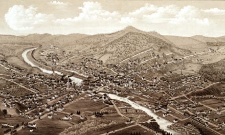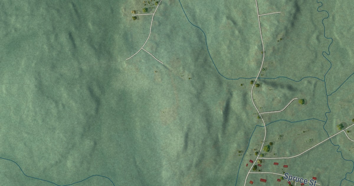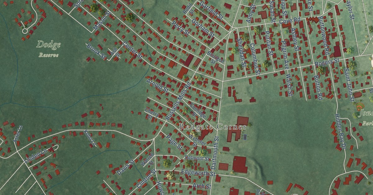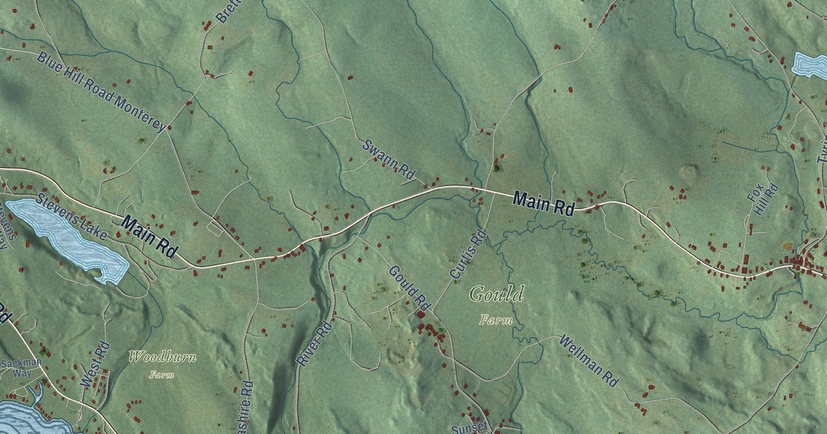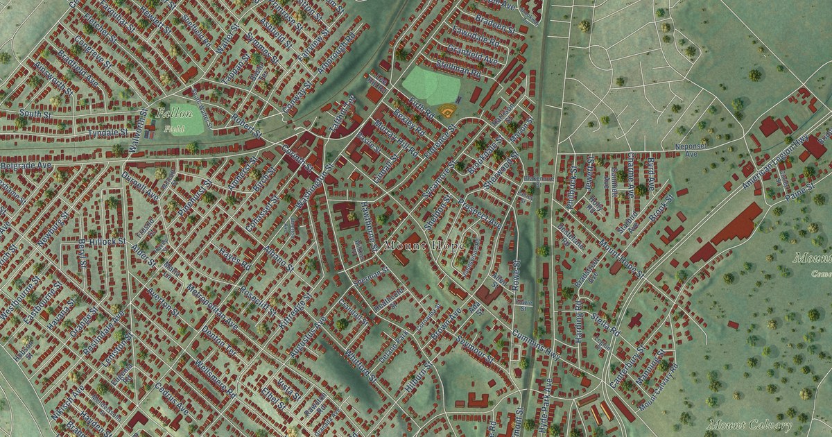
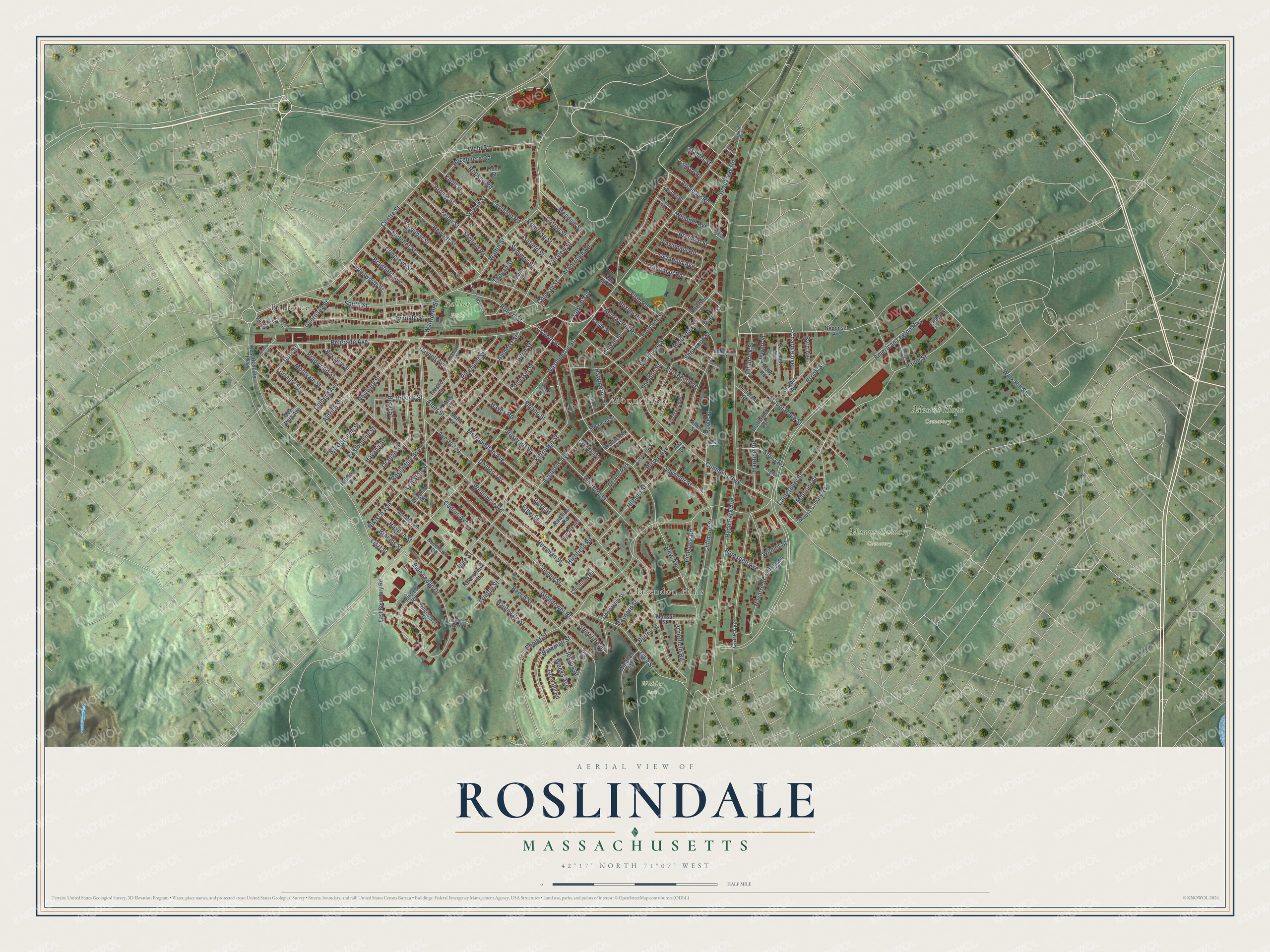
This beautifully detailed map of Roslindale, Massachusetts was created in 2026 using aerial imagery combined with modern topographical, census, street and landmark data. It’s a one-of-a-kind view of Roslindale that combines accurate data with a vintage aesthetic. The map shows every building in its true location, many of the roads carry their names, and the shaded topographic relief shows the shape of the land.
Explore an aerial view of Roslindale, Massachusetts
On the map you’ll find Mount Calvary Cemetery, Mount Hope Cemetery, Fallon Field, Weider Park, Bellevue, Mount Hope, and Clarendon Hills, along with Centre Street, Grew Avenue, Guernsey Street, Washington Street, American Legion Highway, and more. If you look closely you can even find your house accurately drawn in its correct location. Zoom in on the preview to look for yours.
Did You Know?
From Internet Archive: "The Church in Roslindale and Christ Church, Dorchester, are not strictly organizations belonging to or connected with the Fra- 8 SIXTY-EIGHTH ANNUAL REPORT."
Roslindale is a place in Suffolk County.
Take a closer look at the Roslindale map
Names on this map
These names are printed on this map.
Places: Mount Calvary Cemetery, Mount Hope Cemetery, Fallon Field, Weider Park, Bellevue, Mount Hope, Clarendon Hills and Delano Park.
Streets and roads: Centre Street, Grew Avenue, Guernsey Street, Washington Street, American Legion Highway, Beech Street, South Street, Poplar Street, Canterbury Street, Metropolitan Avenue, Cummins Highway, Cornell Street.
More street names, A to Z
Ada Street, Ainsworth Street, Albano Street, Alder Street, Aldrich Street, Aldwin Road, Allen Street, Alpheus Road, Amherst Street, Anawan Avenue, Arborfield Road, Arborough Road, Archdale Road, Ardale Street, Ashfield Street, Atherton Avenue, Augustus Avenue, Averton Street, Basile Street, Basto Terrace, Bateman Street, Beechland Circle, Belgrade Avenue, Beryl Street, Bexley Road, Birch Street, Blakemore Street, Blue Ledge Drive, Blue Ledge Terrace, Bradeen Street, Bradfield Avenue, Bradstreet Avenue, Bradwood Street, Brahms Street, Bridge Street, Brookdale Street, Brook Street, Brookway Road, Brookway Terrace, Brown Avenue, Burley Street, Byrd Avenue, Cedrus Avenue, Charme Avenue, Chisholm Road, Clare Avenue, Cliffmont Street, Cohasset Street, Colberg Avenue, Colbert Street, Colgate Road, Congreve Street, Coniston Road, Conway Street, Corinth Street, Cornauba Street, Cotton Street, Crandall Street, Curley Street, Dale Street, Denton Terrace, Destefano Road, Doncaster Street, Durnell Avenue, East Boundary Road, Eastbourne Street, Eldon Street, Ethel Street, Eugenia Road, Fairview Street, Farquhar Street, Fawndale Road, Firth Road, Fletcher Street, Florence Street, Fowle Street, Franklin Place, Fresno Street, Glencliff Road, Glendower Road, Granada Avenue, Grandview Street, Granfield Avenue, Grew Hill Road, Harding Road, Harrison Street, Hautevale Street, Havana Street, Havey Street, Hawthorne Street, Hayden Street, Hayes Road, Hazelmere Road, Heathcote Street, Hemman Street, Hewlett Street, Highcrest Road, Highcrest Terrace, Highfield Road, Hilburn Street, Hillock Street, Hobson Street, Holly Road, Hyde Park Avenue, Iona Street, Jalleison Street, Jeffers Street, Jewett Street, Johnswood Road, June Street, Kittredge Street, Knoll Street, Lee Hill Road, Legion Place, Leniston Street, Lesher Street, Lindall Street, Liszt Street, Lorraine Street, Mahler Street, Manning Street, Mansur Street, Maria Lane, Marion Street, Maynard Street, Mendelssohn Street, Mendum Street, Metcalf Street, Montvale Street, Mosgrove Avenue, Mount Calvary Road, Mount Hope Street, Murray Hill Road, Navarre Street, Neponset Avenue, Newburg Street, New Park Avenue, Nikisch Avenue, Orange Street, Paine Street, Palfrey Street, Philbrick Street, Pinedale Road, Pinehurst Street, Primrose Street, Prospect Avenue, Ramsdell Avenue, Rawston Road, Rexhame Street, Rhoda Street, Robert Street, Robken Road, Rosecliff Street, Roslindale Avenue, Rowe Street, Sammett Avenue, Selwyn Street, Seymour Street, Sheffield Road, Sheldon Street, Sherman Street, Sherwood Street, South Walter Street, Starbird Avenue, Stella Road, Stellman Road, Sycamore Street, Symmes Street, Tafthill Terrace, Tappan Street, Tyndale Street, Vista Street, Walk Hill Street, Walter Street, Walworth Street, Weeks Avenue, Weld Street, Wellsmere Road, Westbourne Street, West Roxbury Parkway, Whipple Avenue, Whitford Street, Wilkins Place, Wilmot Street, Windham Road, Winton Street, Zeller Street.
See it on a wall
The Roslindale map as a framed print. Swipe for more.


This beautifully detailed map of Roslindale makes an attractive addition to your office, library, or den, and it can even be used to teach children the geography and history of the area. It also makes a great gift for anyone with Roslindale roots. When you’re done exploring, click here to get your copy of the Roslindale map.